The best running trails around Kottenheim
4.3
(602)
9,377
runners
402
runs
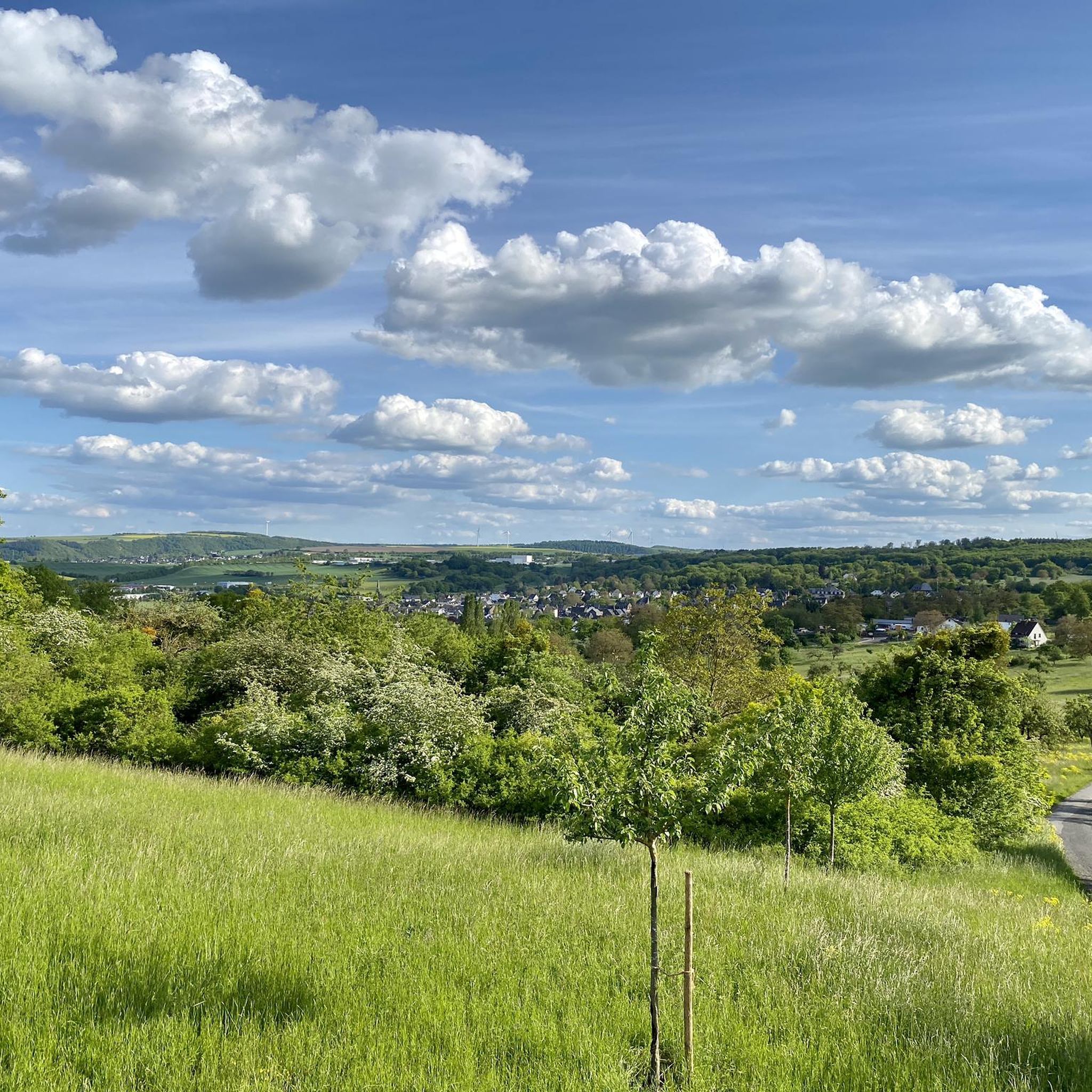
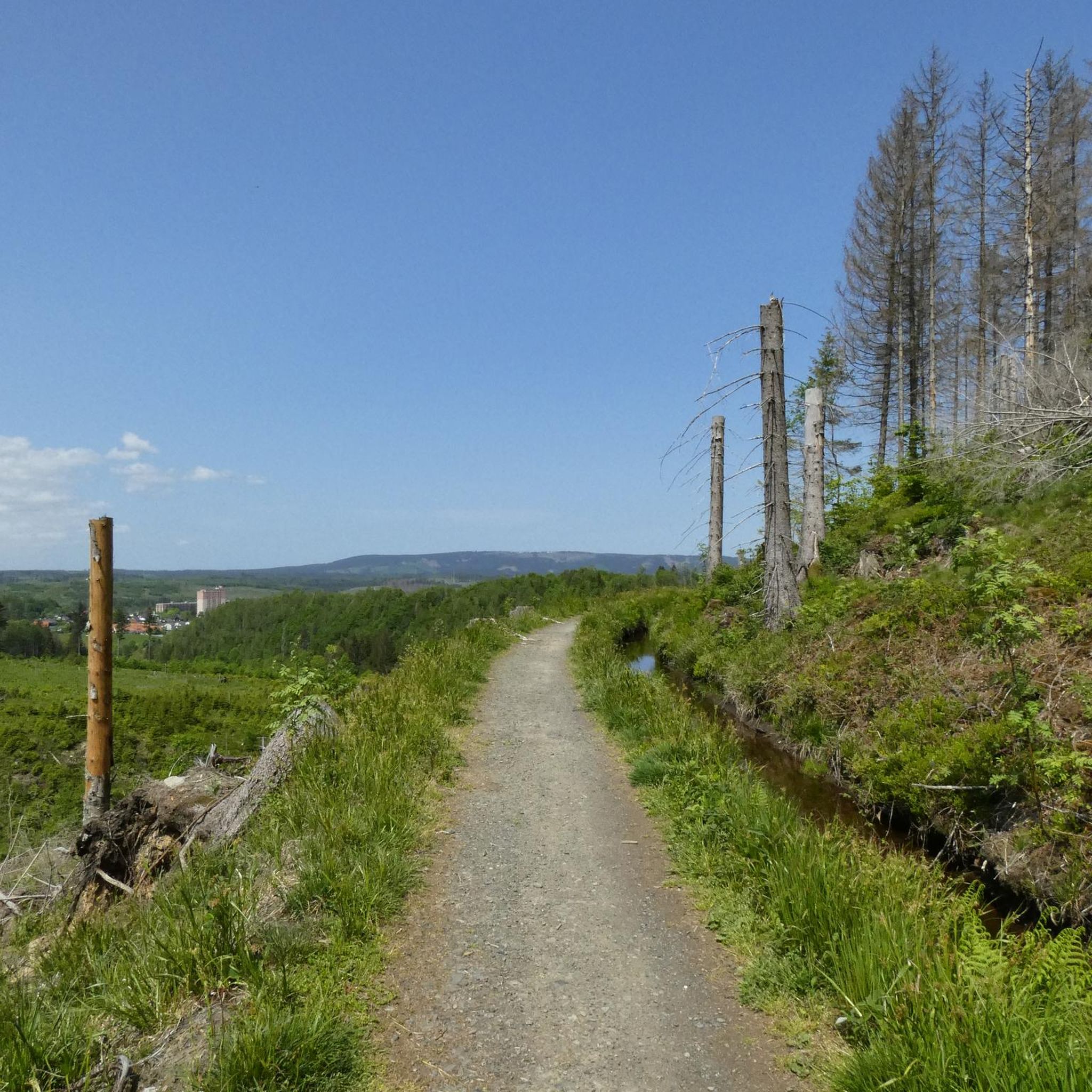
Jogging routes around Kottenheim traverse a diverse landscape characterized by natural monuments, the Nette Valley, and varied terrain. The region offers a mix of paths, from gentle routes through scenic countryside to more challenging trails. These running routes often feature natural beauty and can incorporate historical sites. The area provides options suitable for different fitness levels and preferences.
Best jogging routes around Kottenheim
- The most popular jogging route is Water buffalo at Thürer Wiesen – Water buffalo in Thürer Wiesen…
Last updated: November 10, 2026
4.4
(20)
162
runners
8.89km
00:57
110m
110m
Moderate run. Good fitness required. Mostly paved surfaces.
82
runners
Moderate run. Good fitness required. Mostly paved surfaces.

3.0
(4)
73
runners
6.24km
00:39
60m
60m
Moderate run. Good fitness required. Mostly paved surfaces.
5.0
(3)
28
runners
Hard run. Good fitness required. Sure-footedness, sturdy shoes and alpine experience required.
5.0
(3)
32
runners
Moderate run. Good fitness required. Mostly paved surfaces.
Get access to more routes and recommendations from other explorers.
Already have an account?
Our route recommendations are based on thousands of hikes, rides, and runs completed by other people on komoot.
Start today with a free account
Your next adventure awaits.
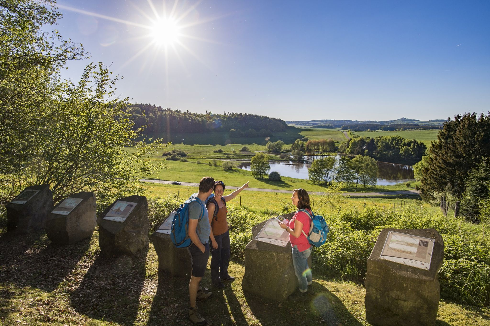
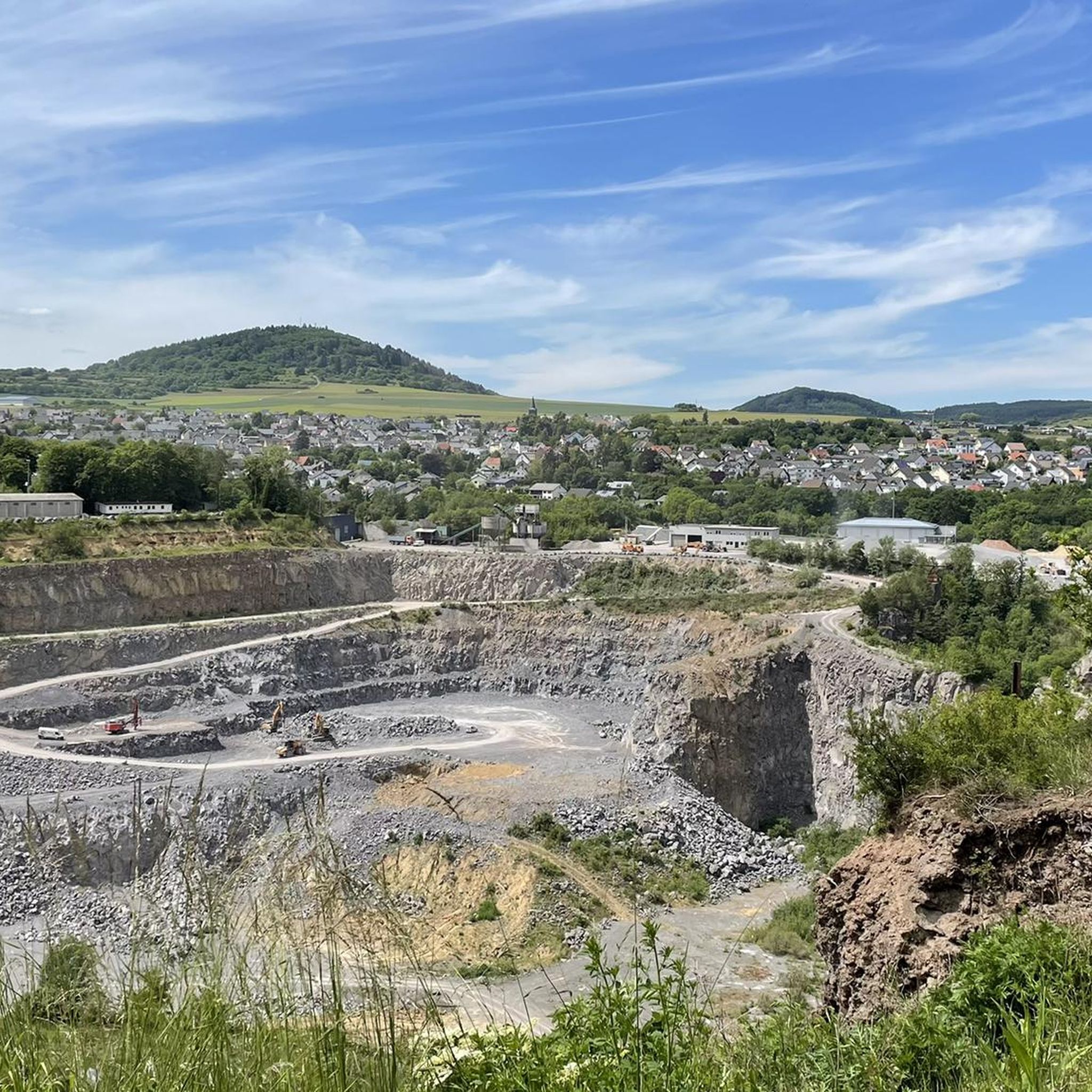
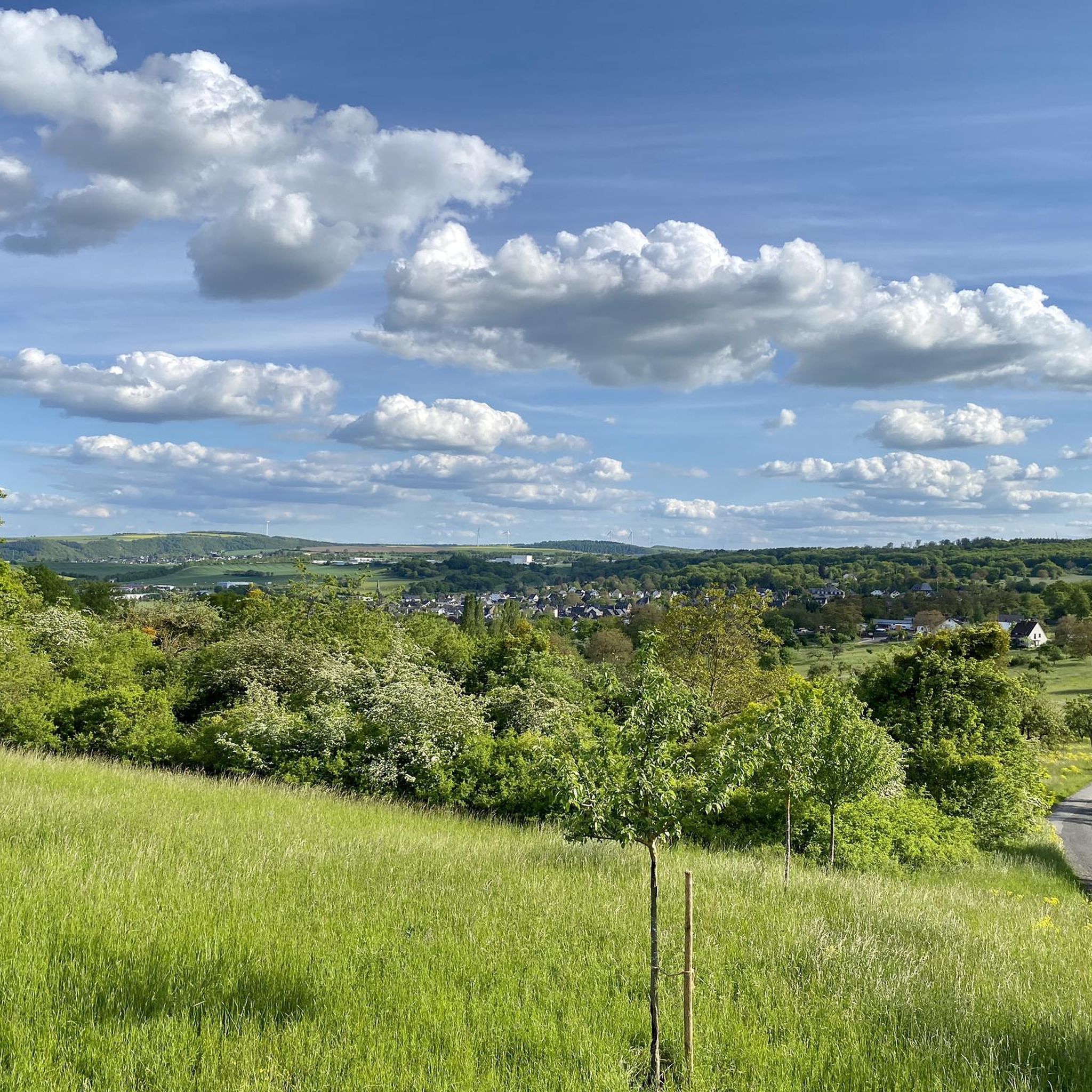
Other adventures around Kottenheim

Tips from the Community

It's always nice to cycle past there.
0
0

Very beautiful pond landscape in the Thürer meadows.
3
0

nice place to drive past comfortably
4
0
They are always friendly ;) nice place to take a break
4
0

The tunnel was part of the Maifeld Railway, a branch line of the Eifelquerbahn (Eifel Cross Railway), which was closed in the 1980s. Today, the tunnel is integrated into the Maifeld Cycle Path, which runs along former railway lines in the Maifeld region. The tunnel is paved and illuminated, making it attractive for both cyclists and hikers.
55
0

A photogenic relic of an old mill is this water wheel on a tributary of the Nette.
0
0

What do the photos have to do with the title of the highlight? I can't see the "Nettehöfe" anywhere...
2
0

Most of the time they lie in the shade of a large willow tree further away from the path.
3
0
Frequently Asked Questions
How many running routes are available around Kottenheim?
Kottenheim offers a wide selection of running routes, with over 300 tours available. These range from easy paths to more challenging trails, catering to various fitness levels.
What kind of terrain can I expect on jogging routes in Kottenheim?
The jogging routes around Kottenheim feature diverse terrain, characterized by natural monuments, the scenic Nette Valley, and varied landscapes. You'll find a mix of paths, from gentle countryside routes to more demanding trails with elevation changes, often traversing natural beauty and historical sites.
Are there any easy or beginner-friendly running routes in the area?
Yes, Kottenheim has options for beginners and those seeking an easier run. There are 38 easy routes available, providing gentle paths through scenic countryside. These are perfect for a relaxed jog.
Can I find challenging running trails around Kottenheim?
Absolutely. For experienced runners looking for a challenge, there are 60 difficult routes available. An example is the Nette Viaduct Cycle Path loop from Mayen Ost, which covers 10.3 miles (16.6 km) and includes significant elevation changes. Other challenging options include the Kletterwald Vulkanpark – View of Ahl-St. Johann loop from Mayen Ost and the Vulkanpark Climbing Forest – View of Bürresheim Castle loop from Mayen Ost.
What interesting landmarks or natural features can I see while running in Kottenheim?
The region around Kottenheim is rich in natural and historical sights. You might encounter natural monuments, caves, and canyons. Notable attractions include the historic Monreal Historic Old Town with its castles like the Löwenburg Ruins, and various caves such as Genoveva Cave or the Sandkaul Caves near Ettringen. The Nette Viaduct also offers unique scenery.
Are there any circular running routes available?
Yes, many of the running routes in Kottenheim are circular, offering convenient loop options. For instance, the popular Water buffalo at Thürer Wiesen – Water buffalo in Thürer Wiesen loop from Thür is a moderate 5.3-mile (8.6 km) loop, and the Water buffalo at Thürer Wiesen – Water buffalo in Thürer Wiesen loop from Kottenheim is a 7.2-mile (11.5 km) loop.
What do other runners say about the routes in Kottenheim?
The running routes in Kottenheim are highly regarded by the komoot community, boasting an average rating of 4.3 stars from over 400 reviews. More than 8,000 runners have explored the varied terrain, often praising the natural beauty and diverse options available.
Are there any historical sites or cultural attractions near the running trails?
Yes, the region combines physical activity with cultural appreciation. You can find routes near the significant Monreal Historic Old Town, known for its charming alleys and historic half-timbered houses, as well as the impressive Löwenburg Ruins. Maria Laach Abbey, though not directly on a listed route, is also a notable cultural attraction in the broader vicinity.
Can I combine my run with a visit to a cafe or pub?
While specific cafes or pubs directly on the trails are not detailed in the route information, the charming towns and villages in the region, such as Monreal, offer opportunities to find refreshments. Many routes start or pass near populated areas where you can typically find local establishments.
What are the best times of year to go running in Kottenheim?
Kottenheim's diverse landscapes make it suitable for running throughout much of the year. Spring and autumn offer pleasant temperatures and vibrant scenery. Even in winter, many trails remain accessible, though conditions may vary, especially on more challenging or unpaved paths. It's always advisable to check local weather conditions before heading out.
Are there running routes that offer scenic viewpoints?
Many routes in Kottenheim traverse areas known for their natural beauty, offering scenic views. The Nette Valley itself provides picturesque backdrops, and routes passing through areas with natural monuments or near historical sites like the Monreal castles often include elevated sections with rewarding vistas. For example, the View of Löwenburg and Philippsburg Castles in Monreal is a specific highlight offering a great perspective.
Most popular routes around Kottenheim
Most popular attractions around Kottenheim

Get inspired with the komoot mobile app


Explore more
Browse the best Running Trails & Routes in other regions.
