The best running trails around Biesdorf
4.4
(233)
4,949
runners
134
runs
Jogging routes around Biesdorf offer a variety of urban and green spaces for runners. The area features a mix of parks, residential streets, and accessible paths, providing diverse settings for different running preferences. Runners can find routes that traverse open parklands or follow quieter suburban roads. The terrain is generally flat, making it suitable for all fitness levels.
Best jogging routes around Biesdorf
- The most popular jogging route is Eulenhorst Rock Labyrinth – Green Hell loop from Bollendorf, a 5.4 miles (8.7 km) trail that takes 1 hour 8 minutes to complete. This route features varied terrain with some elevation changes.
- Another top favourite among local runners is Wanterbaach Climbing Area – Mullerthal Climbing Rocks loop from Bollendorf, a difficult 6.5 miles (10.5 km) path. This route offers scenic views and challenging sections.
- Local runners also love the Beaufort–Berdorf Singletrail loop from Bollendorf, a 5.6 miles (9.0 km) trail leading through varied landscapes, often completed in about 1 hour 5 minutes.
- Jogging around Biesdorf is defined by accessible paths, urban green spaces, and local parks. The network offers options for different ability levels, from easy jogging routes Biesdorf to more advanced running trails.
- The routes in Biesdorf are highly rated by the komoot community with an average score of 4.3 stars from over 170 reviews. More than 4000 runners have used komoot to explore Biesdorf's varied terrain.
Last updated: October 6, 2026
4.9
(7)
55
runners
8.73km
01:08
310m
310m
Hard run. Very good fitness required. Mostly paved surfaces. Suitable for all skill levels.
4.5
(4)
42
runners
10.4km
01:21
260m
260m
Hard run. Good fitness required. Sure-footedness, sturdy shoes and alpine experience required.

5.0
(2)
9
runners
9.05km
01:05
230m
230m
Moderate run. Good fitness required. Mostly paved surfaces. Suitable for all skill levels.
5.0
(3)
8
runners
Moderate run. Good fitness required. Mostly paved surfaces. Suitable for all skill levels.
4.0
(1)
10
runners
5.75km
00:39
120m
120m
Moderate run. Good fitness required. Mostly paved surfaces. Suitable for all skill levels.
Get access to more routes and recommendations from other explorers.
Already have an account?
Our route recommendations are based on thousands of hikes, rides, and runs completed by other people on komoot.
Start today with a free account
Your next adventure awaits.
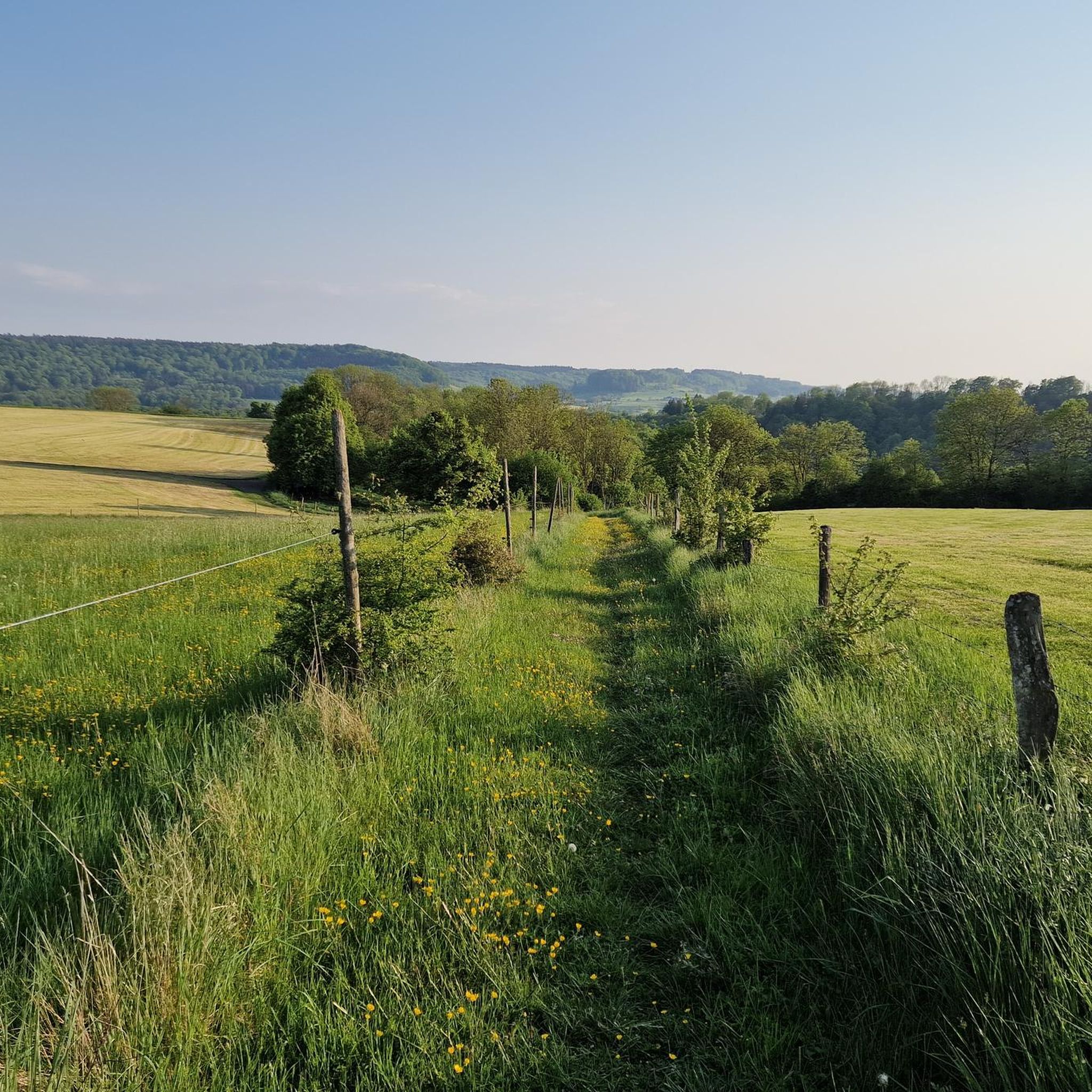
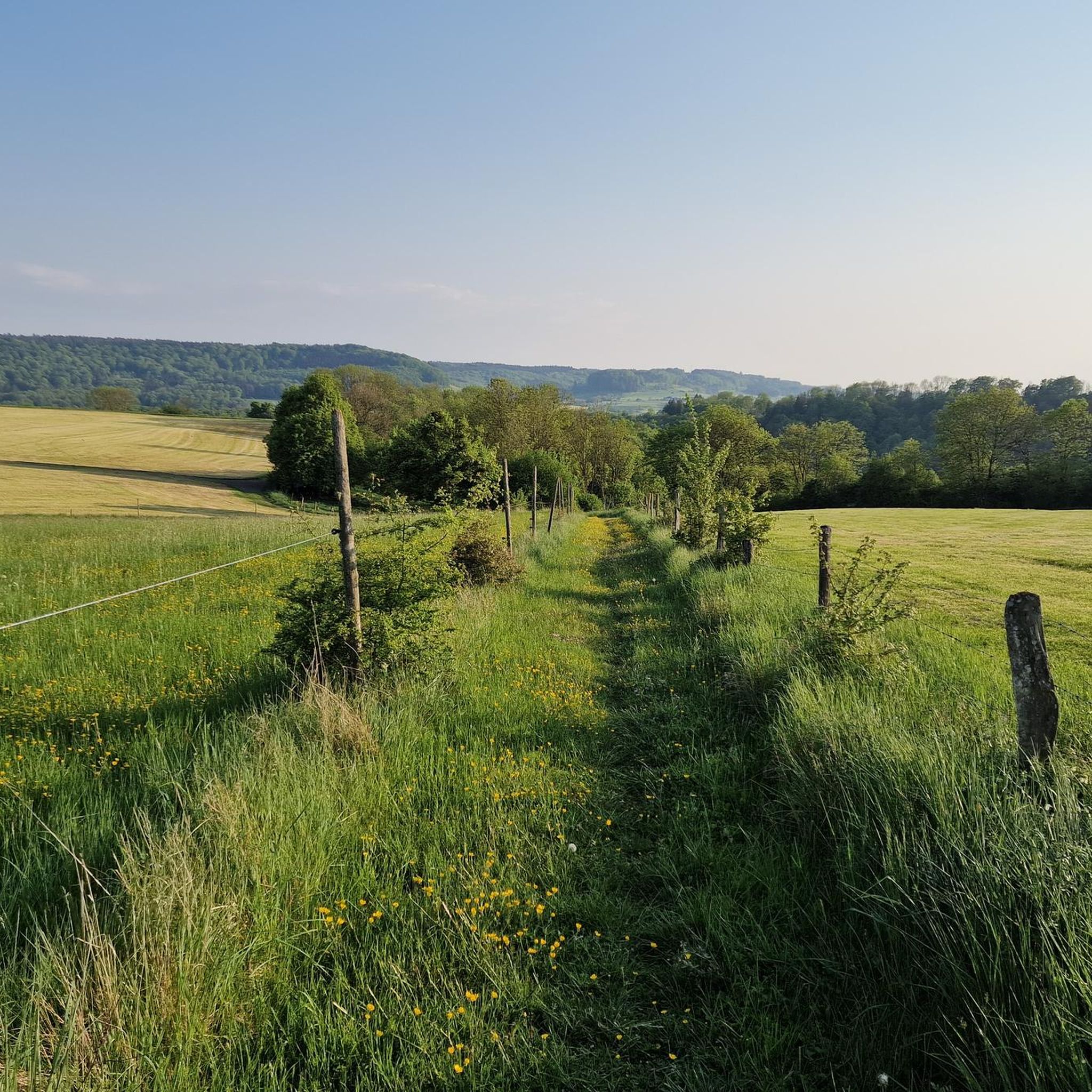
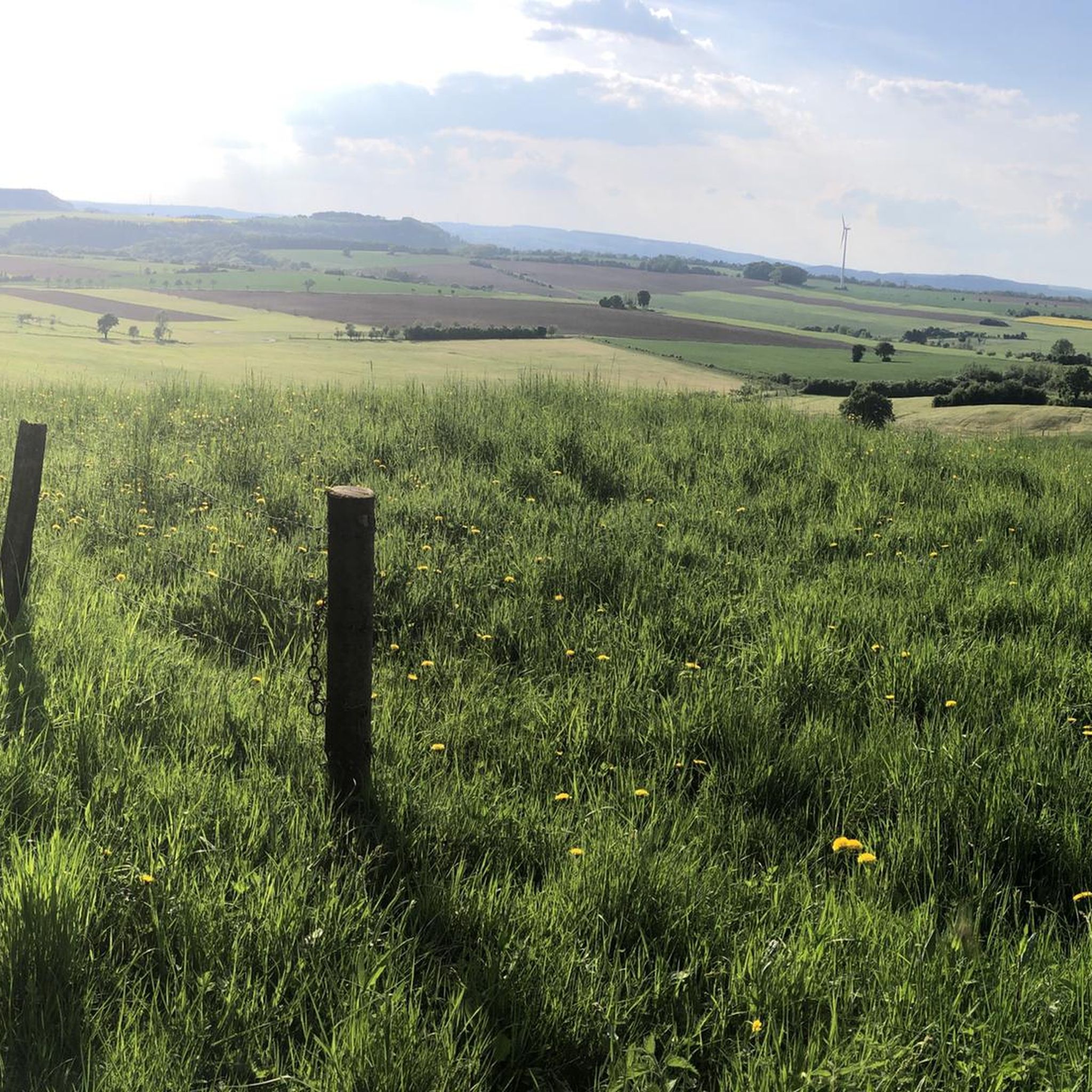
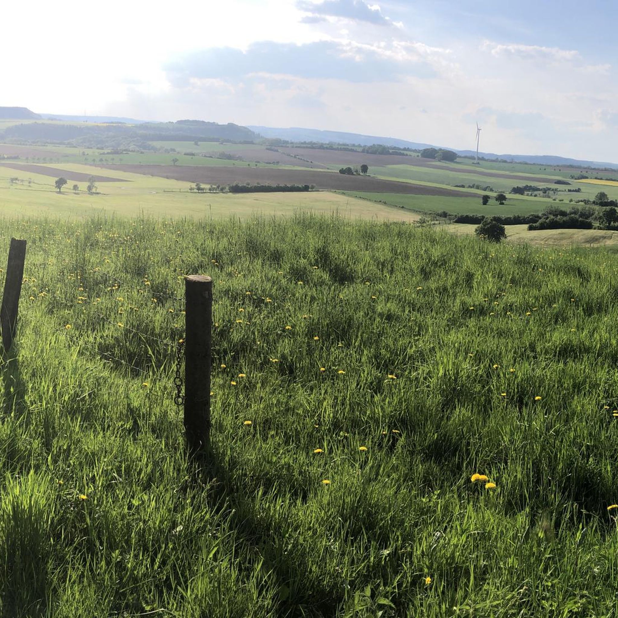


Tips from the Community

In the rock labyrinth of the Eulenhorst rock formation, you sometimes feel like you're getting lost among all the high rock crevices, passages, small stairs, etc. But you usually find the path again.
6
0
Beautiful viewpoint. Under the imposing wooden cross, the Sauer valley stretches out before you. Enjoy the panorama and - if necessary - you can rest on the bench. Beautiful viewpoint. Under the imposing wooden cross, the Sauer valley stretches out before you. Enjoy the panorama and - if necessary - you can rest on the bench.
6
0
At the end of the 18th century, Empress Maria Theresa of Austria, also Duchess of Luxembourg, had the land surveyed by engineers and cartographers. Here, on the border between the possessions of the Abbey of Echternach and the County of Vianden, a boundary stone was erected on the site of a cross that had marked the border for centuries. The massive, square stone, over a meter high and 80 cm wide, now bears the name of the esteemed sovereign, the "Maria Theresa Stone". On the east side of the marker stone is the coat of arms of the "Holy Roman Empire of the German Nation", the double-headed eagle. This testifies to the fact that the Abbey of Echternach was an imperial abbey directly subordinate to the emperor. The year of construction, 1771, is engraved above the imperial coat of arms. The coat of arms of the Counts of Vianden can be seen on the west side of the stone. The two crosses on the sides date from the Prussian era (1816). The border ran from the Maria Theresa Stone in a westerly direction through a deeply cut valley, popularly known as the "Moarkendell" - "boundary stone valley". The Moarkendell still marks the border between the districts of Bollendorf and Wallendorf today. (Felsenland Südeifel)
6
0
The Predigtstuhl rises like a pillar and is reminiscent of a pulpit in a church. This now isolated rock tower slid down from the rock face behind it more than 10,000 years ago at the end of the last ice age. At that time, water from rain or snow penetrated the rock at the top, froze, expanded, and virtually blew this block of rock away, which then slid down onto the clayey subsoil. It is assumed that the tower is still moving, invisible to the naked eye, and will continue to slide into the valley over time. (Felsenland Südeifel)
7
0
From the viewpoint on this plateau, you have a wide view over the river Sauer and the wooded slopes of the German-Luxembourg Nature Park. This rock is a popular destination for hikers and is located on several hiking trails.
7
0


The name dates back to Maria Theresa (1717–1780), Archduchess of Austria and ruler of the Austrian Netherlands, which included the area around Bollendorf in the 18th century. Today, the Maria-Theresien-Stein primarily serves as a waypoint within the ‘Grüne Hölle’ (Green Hell) listening tour. It is integrated into the route guidance and is presented as a stop with scenic and historical significance during the tour.
43
0
Text according to the information panel: The large, sculpted stone was erected during the reign of Empress Maria Theresa of Austria, around the 18th century. It marked the border between the lordships of Echternach and Vianden, thus forming the border region between the Duchy of Luxembourg and the Electorate of Trier. The east side of the stone displays the coat of arms of Echternach Abbey: Saint Willibrord with his bishop's staff. The west side, however, bears the coat of arms of the County of Vianden with a rampant lion. On the Echternach side, one can also see the letters A.O. (Abbatia Ordinis – Abbey Order) and E.E. (Echternachensis Ecclesiae – Church of Echternach). On the Vianden side, the letters C.V. (Comitatus Vianden – County of Vianden) can be read. The stone was restored and re-erected in the 1970s. Originally, it stood slightly further south, directly on the historical border. Today it is located on the hiking trail between Bollendorf and Wallendorf.
49
0
Frequently Asked Questions
How many running routes are available in Biesdorf?
There are over 130 running routes around Biesdorf, offering a wide range of options for different preferences and fitness levels. The komoot community has explored these trails over 4000 times.
Are there easy running routes suitable for beginners in Biesdorf?
Yes, Biesdorf offers several easy running routes perfect for beginners. The terrain is generally flat, making it accessible. There are 6 routes specifically categorized as easy, providing gentle paths through urban green spaces and local parks.
Can I find running routes with parking facilities in Biesdorf?
Many running routes in Biesdorf are accessible by car, with parking often available near trailheads or in residential areas close to parks. It's always recommended to check specific route details on komoot for parking information before you go.
What are the typical lengths and durations of running trails in Biesdorf?
Running trails in Biesdorf vary in length and duration. For instance, the Predigtstuhl Rock Formation – Grüne Hölle Rock Formations loop from Bollendorf is about 3.3 miles (5.2 km) and takes around 40 minutes, while the Wanterbaach Climbing Area – Mullerthal Climbing Rocks loop from Bollendorf is 6.5 miles (10.5 km) and can take over 1 hour 20 minutes.
Are there dog-friendly running routes in Biesdorf?
Biesdorf's mix of parks and accessible paths generally makes it a good area for running with dogs. Many routes through green spaces are suitable, but always ensure your dog is on a leash where required and respect local regulations regarding pets in public areas.
What kind of scenic views can I expect on Biesdorf's running trails?
Biesdorf's running trails offer a blend of urban green spaces and natural landscapes. You can expect to see local parks, residential streets, and accessible paths. Some routes, like the Beaufort–Berdorf Singletrail loop from Bollendorf, lead through varied landscapes, providing pleasant scenery.
Are there any circular running routes in Biesdorf?
Yes, many of the running routes in Biesdorf are circular, allowing you to start and end at the same point. For example, the Running loop from Wallendorf is a popular circular option, covering about 3.6 miles (5.8 km).
What do other runners enjoy most about jogging in Biesdorf?
The running experience in Biesdorf is highly rated by the komoot community, with an average score of 4.3 stars from over 170 reviews. Runners often praise the accessible paths, the variety of urban green spaces, and the local parks that define the area's network of trails.
Are there any challenging or advanced running trails in Biesdorf?
Yes, for more experienced runners, Biesdorf offers several challenging routes. There are 42 routes categorized as difficult, featuring varied terrain and some elevation changes. An example is the Eulenhorst Rock Labyrinth – Green Hell loop from Bollendorf, which includes significant elevation gain over 5.4 miles (8.7 km).
What natural attractions can I see near the running routes in Biesdorf?
While running in Biesdorf, you can explore several natural attractions. Nearby highlights include the dramatic Devil's Gorge, the fascinating Labyrinth of Rocks (Felsenlabyrinth) Mullerthal, and the unique Huel Lee (Hohllay Cave). These offer interesting sights to complement your run.
Is Biesdorf suitable for family-friendly running outings?
Yes, Biesdorf offers options for family-friendly running. The generally flat terrain and accessible paths through parks and green spaces make it suitable for families with children or those looking for a more relaxed pace. Focus on the easier routes for a pleasant family experience.
Are there running routes in Biesdorf that are accessible by public transport?
Many running routes in Biesdorf are located within or close to residential areas, making them potentially accessible via local public transport. It's advisable to check local bus or train schedules and stops in relation to your chosen trailhead for the most convenient access.
Most popular attractions around Biesdorf

Get inspired with the komoot mobile app


Explore more
Browse the best Running Trails & Routes in other regions.
