The best running trails in Eifelkreis Bitburg-Prüm
4.4
(562)
4,808
runners
506
runs
Jogging in Eifelkreis Bitburg-Prüm offers diverse terrain across the sparsely populated southwestern Eifel Mountains. The region features rolling hills, dense forests, and river valleys, providing varied backdrops for running. Jogging routes often wind through deep forests and along picturesque valleys, with unique rock formations adding to the scenic appeal. The area includes a mix of paved surfaces, accessible paths, and some trails requiring sure-footedness.
Best jogging routes in Eifelkreis Bitburg-Prüm
- The most popular jogging route is Bitburg Reservoir – Lakeside…
Last updated: November 15, 2026
4.5
(42)
201
runners
Easy run. Mostly paved surfaces.
5.0
(1)
184
runners
37.3km
04:09
700m
700m
Hard run. Very good fitness required. Mostly paved surfaces.

5.0
(3)
164
runners
22.4km
02:39
500m
500m
Hard run. Very good fitness required. Mostly paved surfaces.
4.5
(2)
117
runners
Hard run. Very good fitness required. Sure-footedness, sturdy shoes and alpine experience required.
5.0
(2)
72
runners
8.71km
00:55
70m
70m
Moderate run. Good fitness required. Mostly paved surfaces.
3.4
(5)
71
runners
13.1km
01:23
100m
100m
Moderate run. Good fitness required. Mostly paved surfaces.
4.8
(6)
55
runners
8.73km
01:08
310m
310m
Hard run. Very good fitness required. Mostly paved surfaces.
5.0
(6)
68
runners
7.59km
00:59
180m
180m
Hard run. Good fitness required. Sure-footedness, sturdy shoes and alpine experience required.
4.3
(3)
55
runners
Moderate run. Good fitness required. Mostly paved surfaces.
3.6
(5)
59
runners
7.11km
00:46
120m
120m
Moderate run. Good fitness required. Mostly paved surfaces.
Get access to more routes and recommendations from other explorers.
Already have an account?
Our route recommendations are based on thousands of hikes, rides, and runs completed by other people on komoot.
Start today with a free account
Your next adventure awaits.
Popular around Eifelkreis Bitburg-Prüm
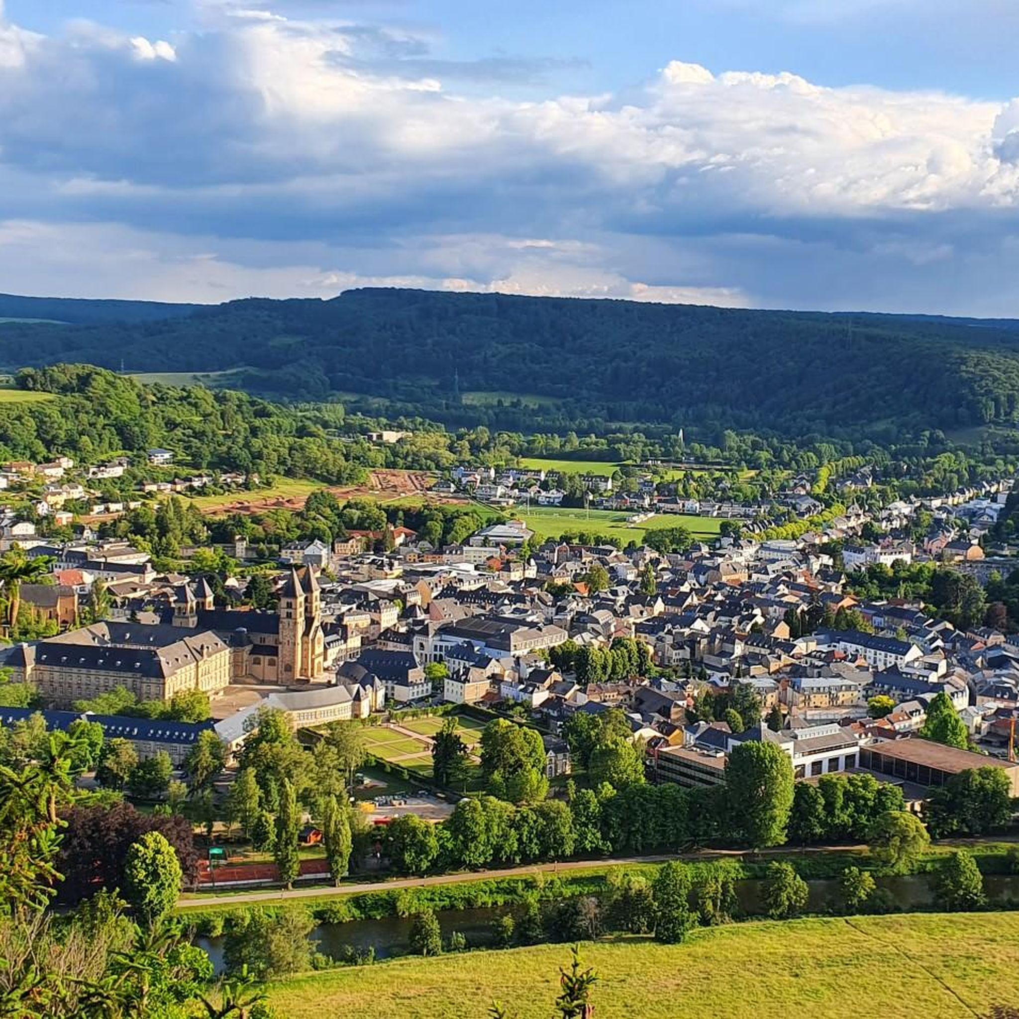
Running Trails around Echternacherbrück
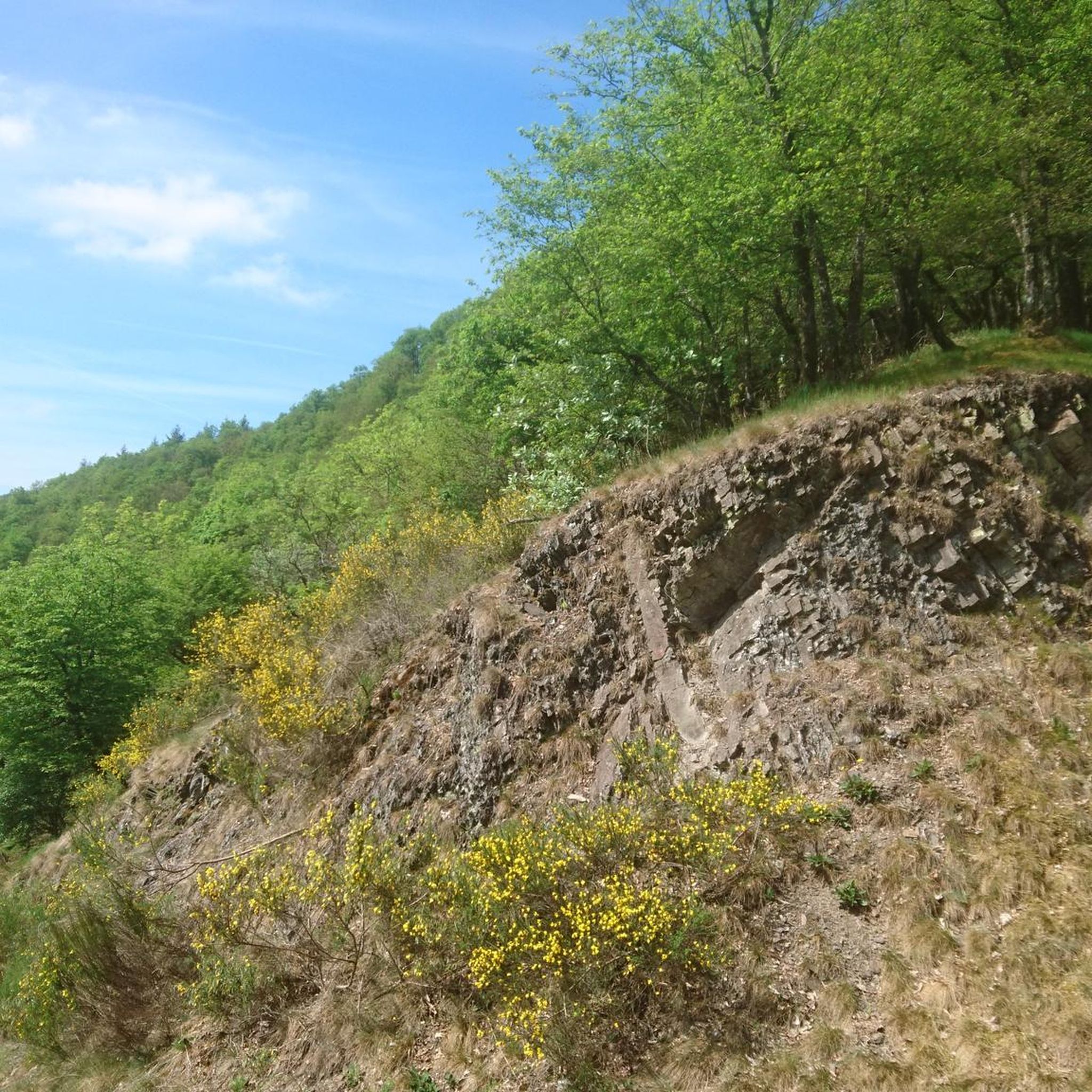
Running Trails around Oberpierscheid
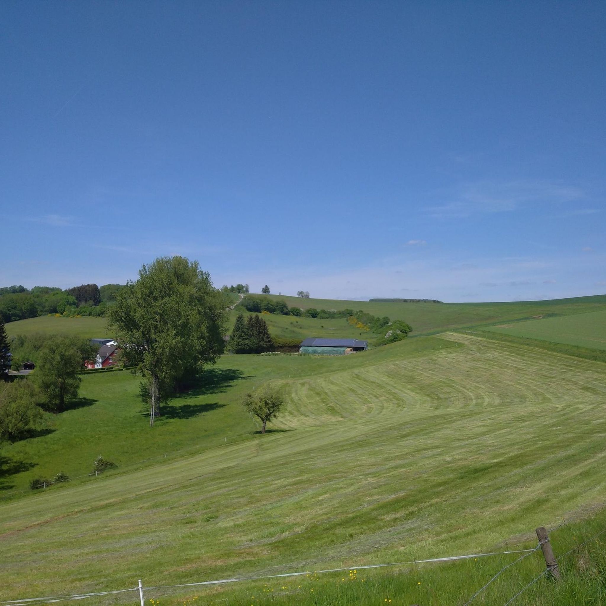
Running Trails around Hütterscheid

Running Trails around Berkoth
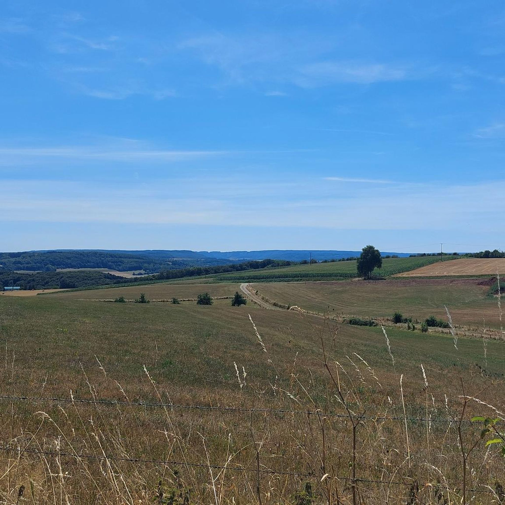
Running Trails around Wißmannsdorf
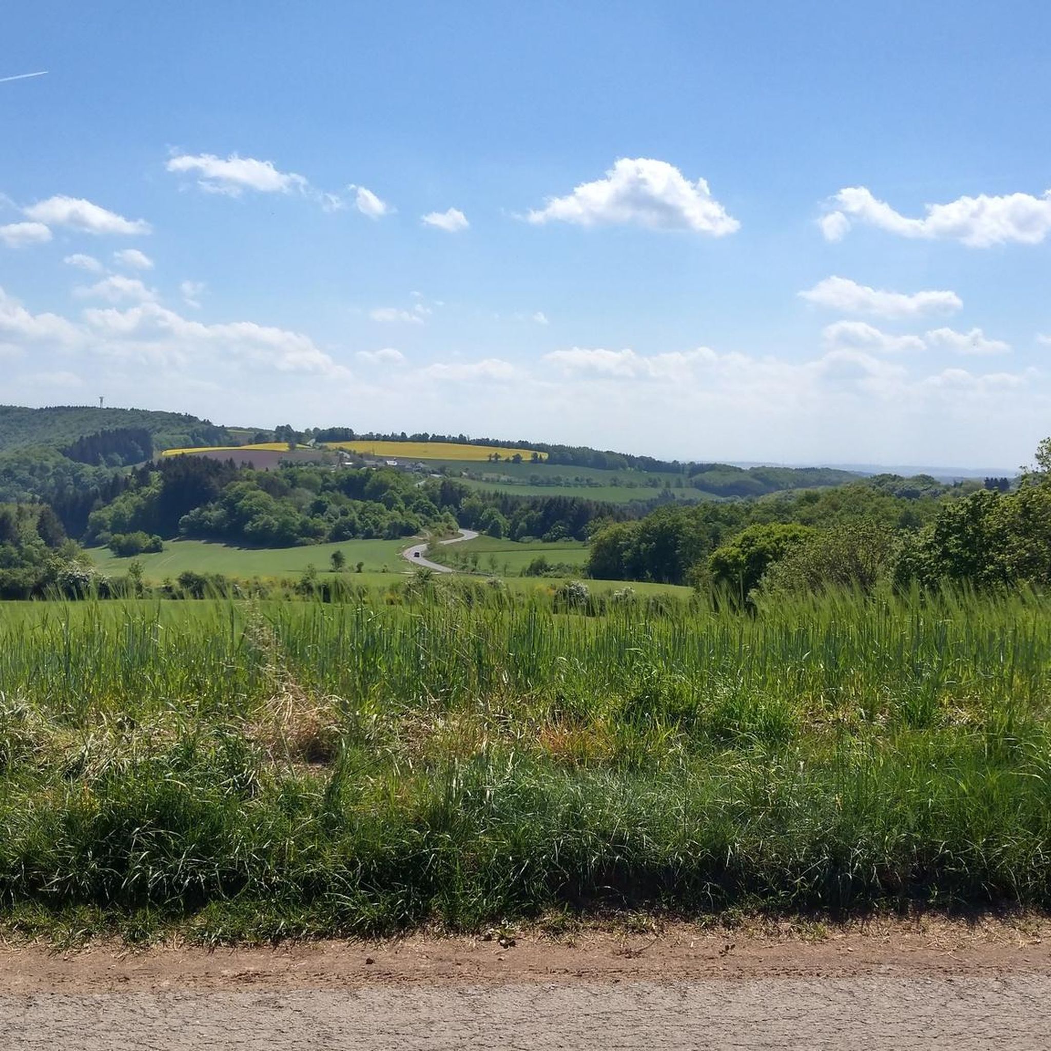
Running Trails around Altscheid
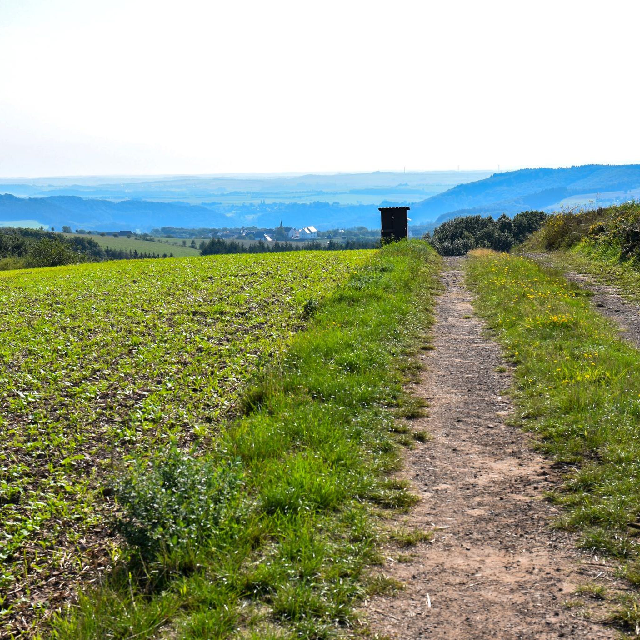
Running Trails around Weidingen

Running Trails around Biersdorf am See

Running Trails around Wiersdorf

Running Trails around Stausee Bitburg
Other adventures in Eifelkreis Bitburg-Prüm


Tips from the Community

Here is the website for the campsite: https://www.pruemtal.de/
0
0

In the rock labyrinth of the Eulenhorst rock formation, you sometimes feel like you're getting lost among all the high rock crevices, passages, small stairs, etc. But you usually find the path again.
6
0
Beautiful viewpoint. Under the imposing wooden cross, the Sauer valley stretches out before you. Enjoy the panorama and - if necessary - you can rest on the bench. Beautiful viewpoint. Under the imposing wooden cross, the Sauer valley stretches out before you. Enjoy the panorama and - if necessary - you can rest on the bench.
6
0
At the end of the 18th century, Empress Maria Theresa of Austria, also Duchess of Luxembourg, had the land surveyed by engineers and cartographers. Here, on the border between the possessions of the Abbey of Echternach and the County of Vianden, a boundary stone was erected on the site of a cross that had marked the border for centuries. The massive, square stone, over a meter high and 80 cm wide, now bears the name of the esteemed sovereign, the "Maria Theresa Stone". On the east side of the marker stone is the coat of arms of the "Holy Roman Empire of the German Nation", the double-headed eagle. This testifies to the fact that the Abbey of Echternach was an imperial abbey directly subordinate to the emperor. The year of construction, 1771, is engraved above the imperial coat of arms. The coat of arms of the Counts of Vianden can be seen on the west side of the stone. The two crosses on the sides date from the Prussian era (1816). The border ran from the Maria Theresa Stone in a westerly direction through a deeply cut valley, popularly known as the "Moarkendell" - "boundary stone valley". The Moarkendell still marks the border between the districts of Bollendorf and Wallendorf today. (Felsenland Südeifel)
6
0
From the viewpoint on this plateau, you have a wide view over the river Sauer and the wooded slopes of the German-Luxembourg Nature Park. This rock is a popular destination for hikers and is located on several hiking trails.
7
0
The pleasure pavilion, locally known as "Losthaus", was built in 1765 in the former orchard of the abbey. It marks the end of the abbey's reconstruction campaign, which had begun in 1727. The complex building structure, built into the garden wall, has an irregular pentagonal shape. The ground floor contains a cool garden room and the first floor a room with a panoramic view. The pavilion is crowned by a mansard roof. The pavilion is located on the site of a previous building that was already documented in the 16th century. The southern facade of the pavilion proudly displays the coat of arms of the abbey and of Abbot Michael Hormann (1751-1775). It is aligned with the corner extension of the main building of the abbey, which houses the abbot's quarters. (Institut national pour le patrimoine architectural)
5
0
Close to the main entrance of this recreation area, you have a beautiful view of the lake.
7
0
Beautiful lake, even though it is artificial. The recreation center offers many opportunities, recreational, sporting and cultural. At the entrance to the lake there is a large free parking lot. You can walk or cycle around the lake, which is surrounded by 375 hectares of forest, with various hiking trails running through it.
7
0
Frequently Asked Questions
How many running routes are available in Eifelkreis Bitburg-Prüm, and what are their difficulty levels?
Eifelkreis Bitburg-Prüm offers over 500 running routes. These include a variety of difficulty levels: approximately 60 easy routes, over 340 moderate routes, and nearly 100 difficult routes, catering to all fitness levels.
What kind of terrain can I expect on the jogging trails in Eifelkreis Bitburg-Prüm?
The region features diverse terrain, from mostly paved surfaces and accessible paths to trails requiring sure-footedness. You'll find routes winding through dense forests, along picturesque river valleys like the Prüm and Sauer, and past unique rock formations. Expect a mix of flat sections and rolling hills with varying elevation gains.
Are there any running routes that pass by waterfalls or other natural monuments?
Yes, several routes offer stunning natural sights. For instance, the Irrel Waterfalls – Dreamy stream with path loop from Ernzen takes you past the impressive Irrel Waterfalls. You can also explore areas with dramatic rock formations like the Devil's Gorge and the Grüne Hölle Gorge (Bollendorfer Schweiz), which are prominent features in the region.
Are there any family-friendly jogging routes suitable for running with kids?
Yes, there are several options suitable for families. Easy routes with minimal elevation gain are ideal. For example, the Bitburg Reservoir – Lakeside path at Bitburg Reservoir loop from Bitburger Land is an easy 4.4 km (2.7 miles) route around the reservoir, perfect for a relaxed run with children. The region also has themed trails like the Bollendorf Fairy Tale Path, which can make running more engaging for younger participants.
Can I find circular running routes in Eifelkreis Bitburg-Prüm?
Absolutely. Many of the running routes in the region are circular, allowing you to start and finish at the same point. Examples include the Prümtal-Camping loop from Oberweis, a moderate 6 km route, and the Former customs house in Echternach – View of the Old Sauer Bridge loop from Echternach, another moderate option.
What do other runners enjoy most about jogging in Eifelkreis Bitburg-Prüm?
The running routes in Eifelkreis Bitburg-Prüm are highly rated by the komoot community, with an average score of 4.4 stars from over 420 reviews. Runners frequently praise the diverse and scenic landscapes, including the dense forests, picturesque river valleys, and unique rock formations. The variety of terrains and well-marked trails also receive positive feedback.
Are there any running trails that offer views of castles or historical sites?
Yes, the region's history is often intertwined with its natural beauty. While jogging, you might encounter historical landmarks. For instance, routes along the Prüm river, such as those used for the Eifelmarathon, pass by attractions like Hamm Castle. Other castles in the area include Prümerburg Ruins and Rittersdorf Castle, offering glimpses into the past.
Are there any longer, more challenging running routes for experienced runners?
For experienced runners seeking a challenge, Eifelkreis Bitburg-Prüm offers several difficult and long-distance routes. The Bitburg Reservoir – Along the banks of the Prüm loop from Bitburger Land is a demanding 32.2 km (20 miles) trail with significant elevation gain. Another challenging option is the Bitburg Reservoir – Mariensäule Waxweiler loop from Waxweiler, spanning over 37 km.
Where can I find routes with unique rock formations or gorges?
The Ferschweiler Plateau and areas around Bollendorf are known for their unique sandstone rock erosion landscapes. The Eulenhorst Rock Labyrinth – Green Hell loop from Bollendorf is an excellent choice, leading through dramatic rock formations and chasms like the Grüne Hölle Gorge, offering an adventurous trail running experience.
Are there any running routes with fitness stations for additional training?
Yes, some areas offer dedicated fitness routes. For example, a 4.1 km route in Orenhofen includes stations for endurance, coordination, and strength training interspersed with running sections, providing a comprehensive workout experience.
What is the best time of year to go running in Eifelkreis Bitburg-Prüm?
The Eifel region is beautiful year-round, but spring and autumn generally offer the most pleasant running conditions with mild temperatures and vibrant scenery. Summer can be warm, especially in open areas, while winter might bring snow and ice, requiring appropriate gear and caution on trails.
Are there any running routes that are easily accessible by public transport?
While many routes are best accessed by car, some towns and villages in Eifelkreis Bitburg-Prüm have public transport connections. It's advisable to check local bus schedules for specific starting points of routes, especially those near larger towns like Bitburg or Prüm, to plan your access accordingly.
Most popular routes in Eifelkreis Bitburg-Prüm
Most popular attractions in Eifelkreis Bitburg-Prüm

Get inspired with the komoot mobile app


Didn’t find what you were looking for?
Check out more Running Trails & Routes throughout Eifelkreis Bitburg-Prüm below and find the perfect route in your destination.
Explore more
Browse the best Running Trails & Routes in other regions.
