The best running trails around Bayerfeld-Steckweiler
4.3
(55)
565
runners
45
runs
Jogging around Bayerfeld-Steckweiler offers diverse terrain within the North Palatine Uplands, situated between Kaiserslautern and Bad Kreuznach. The region features the Donnersberg, the highest elevation in the Palatinate, along with numerous hills and the Alsenz river valley. Joggers can find routes that traverse varied landscapes, including paths through nature reserves and along riverbanks. This area provides a range of running experiences, from gentle paths to more challenging ascents.
Best jogging routes around Bayerfeld-Steckweiler
- The most popular jogging route is Running…
Last updated: October 27, 2026
3.8
(4)
21
runners
6.79km
00:46
180m
180m
Moderate run. Good fitness required. Mostly paved surfaces.
5.0
(3)
16
runners
7.96km
00:56
210m
210m
Moderate run. Good fitness required. Mostly paved surfaces.

7
runners
Easy run. Mostly paved surfaces.
6
runners
8.55km
00:57
170m
170m
Moderate run. Good fitness required. Mostly paved surfaces.
4
runners
12.3km
01:25
240m
240m
Moderate run. Good fitness required. Mostly paved surfaces.
Get access to more routes and recommendations from other explorers.
Already have an account?
Our route recommendations are based on thousands of hikes, rides, and runs completed by other people on komoot.
Start today with a free account
Your next adventure awaits.
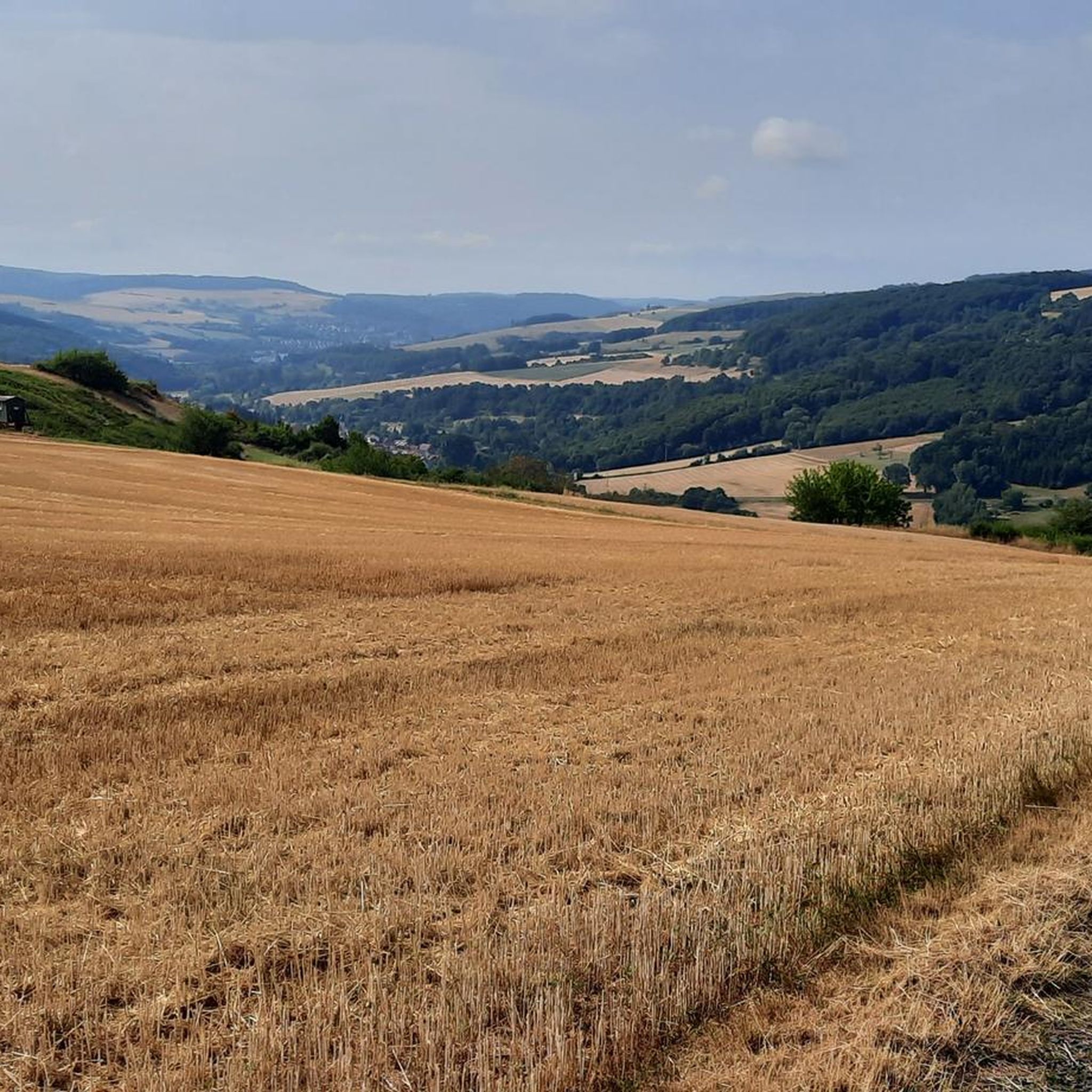
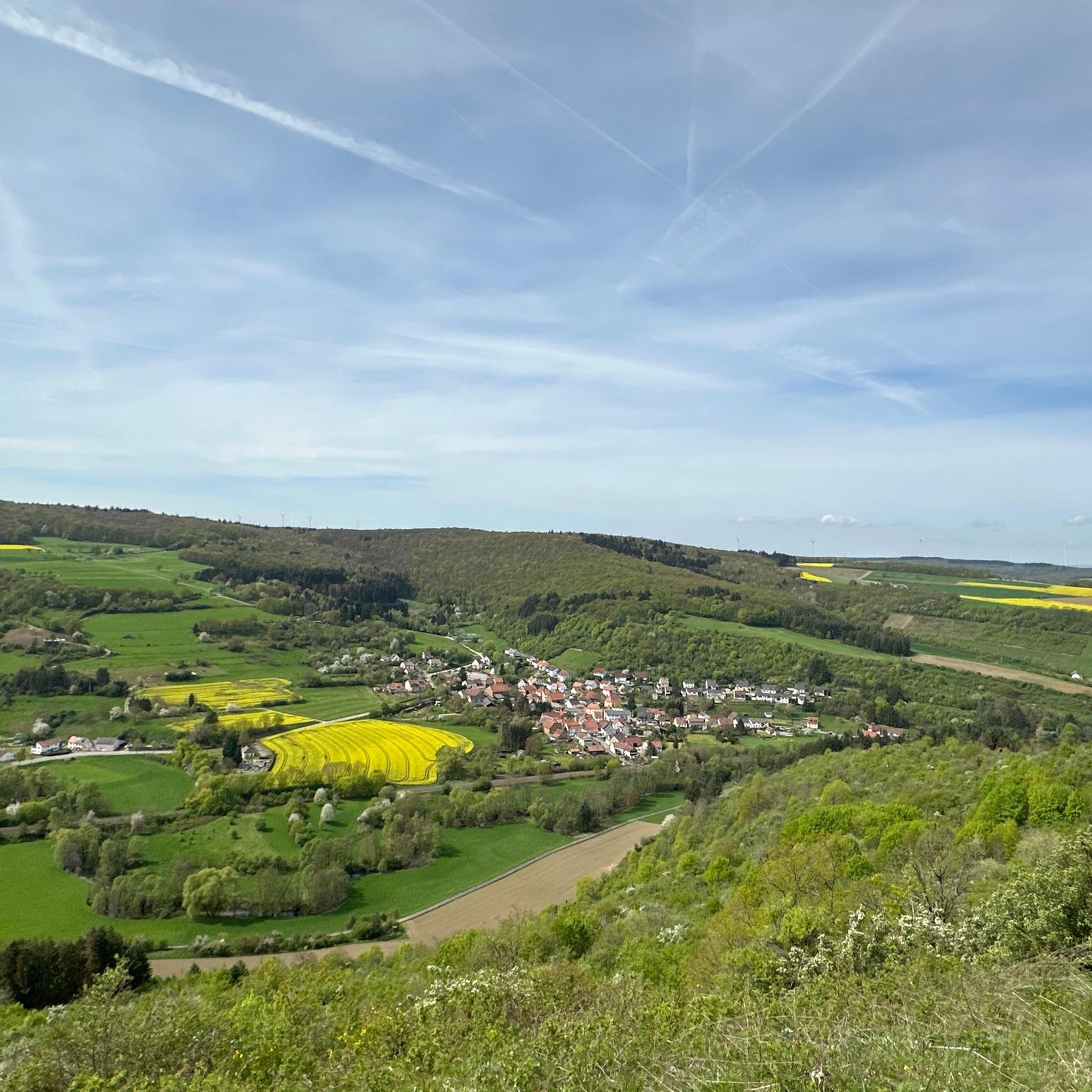
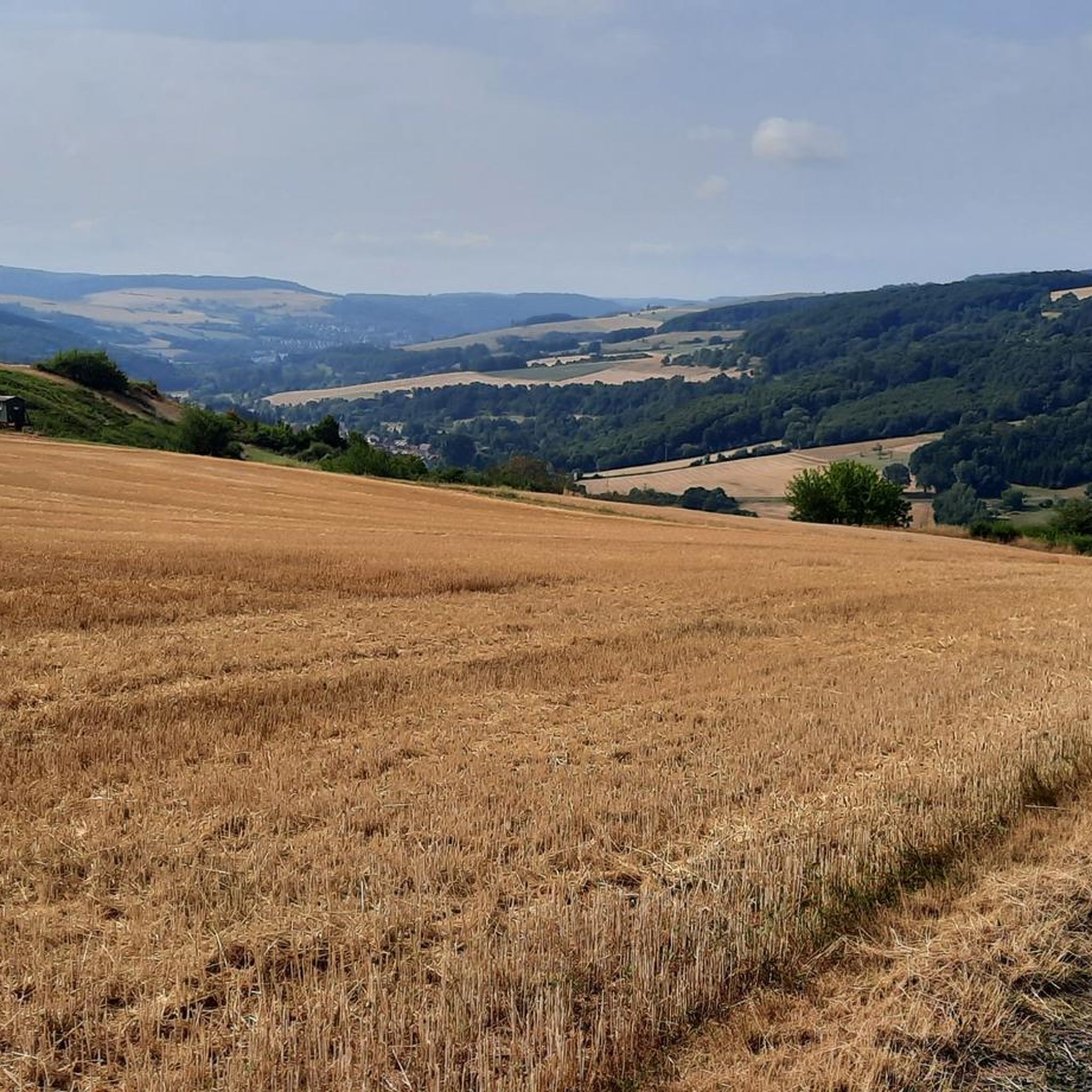
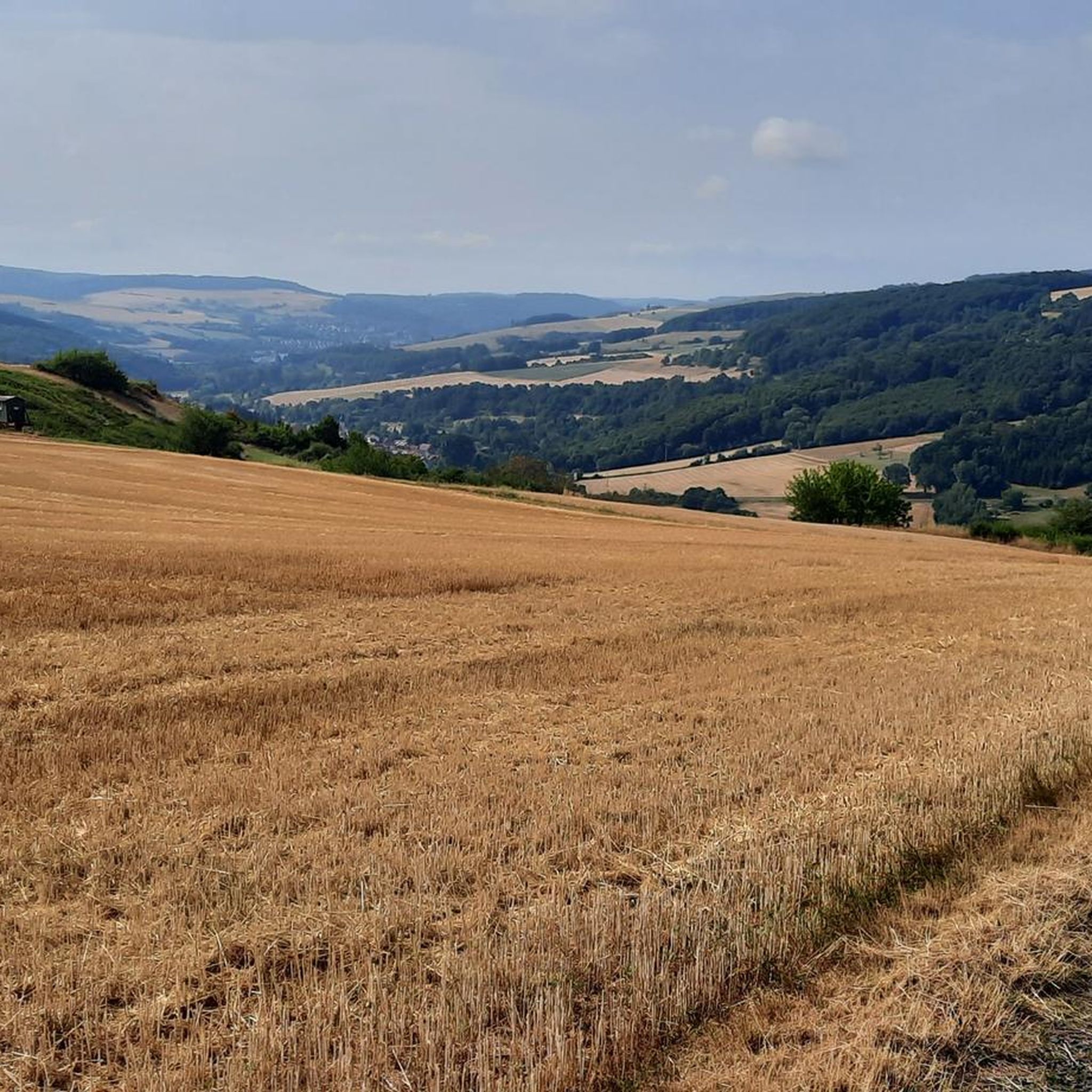

Tips from the Community

Very large cabin with grill
0
0

large barbecue hut
1
1

An old Jewish cemetery is located in the area of the Ringstrasse - between the Ringstrasse and the city wall (plots 306, 305). The cemetery was established in the 18th century and expanded in 1842. No gravestones have survived. The cemetery plot can be recognized by the chestnut trees. A new Jewish cemetery was established in 1908/1912 and used until 1939 (plot no. 865/2). The cemetery area covers 5.60 acres (according to other information 6.28 acres).
1
0
Very large barbecue hut with plenty of space and two brick barbecue areas.
2
0

The tranquil “metropolis” of the North Palatinate offers a lot to see: the old town with numerous half-timbered houses is a listed building, the castle gardens and the banks of the Als are ideal for a walk, and the tower clock museum and the Foucault pendulum allow you to experience time in a new way.
1
0


Awesome view from up here
1
0
Interesting contemporary witness of Roman engineering
1
0
Frequently Asked Questions
How many running routes are available in Bayerfeld-Steckweiler?
There are over 45 dedicated running routes around Bayerfeld-Steckweiler, offering a wide range of options for different fitness levels and preferences. These include easy, moderate, and challenging trails through the diverse landscapes of the North Palatine Uplands.
What do other runners enjoy most about the trails in Bayerfeld-Steckweiler?
The running trails in Bayerfeld-Steckweiler are highly rated by the komoot community, with an average score of 4.3 stars from over 30 reviews. Runners often praise the varied terrain, scenic views, and the opportunity to explore both river valleys and challenging uphill sections, particularly around the Donnersberg region.
Are there easy running routes suitable for beginners or a relaxed jog?
Yes, Bayerfeld-Steckweiler offers several easy running routes. For example, the Running loop from Rockenhausen is an easy 3.0-mile (4.9 km) trail that takes about 34 minutes to complete, perfect for a gentle run through the local landscape.
Are there more challenging running routes for experienced runners?
Absolutely. The region features 14 difficult running routes for those seeking a greater challenge. The varied topography of the North Palatine Uplands, especially around the Donnersberg, provides plenty of opportunities for strenuous trail runs with significant elevation changes.
What kind of scenic viewpoints can I expect on the running trails?
Many running routes in Bayerfeld-Steckweiler offer stunning scenic viewpoints. You can find breathtaking panoramic views from the Königsstuhl (Donnersberg summit), the highest point in the Palatinate. Another notable spot is the Hirtenfels Viewpoint, providing expansive vistas of the surrounding landscape.
Are there any family-friendly running routes in the area?
While specific 'family-friendly' designations aren't always given for running, many of the easy and moderate routes with less elevation gain can be suitable for families. The Alsenz river valley, for instance, likely offers flatter, more accessible paths. Always check the route details for distance and elevation to ensure it matches your family's capabilities.
Can I bring my dog on the running trails?
Generally, dogs are welcome on most public trails in Germany, including those around Bayerfeld-Steckweiler. However, it's always advisable to keep your dog on a leash, especially in nature reserves like Stolzenberg, and to be mindful of other trail users and wildlife. Always check local signage for any specific restrictions.
Are there circular running routes available?
Yes, many of the running routes in the region are designed as loops, allowing you to start and finish at the same point. Examples include the popular Running loop from Gerbach and the View of Ruppertsecken loop from Gerbach, which offer convenient circular options.
What natural features or attractions can I see while running?
The region is rich in natural beauty. You can run through the Alsenz River Valley, past historic vineyards, or explore paths near the Silver Lake (Lemberg Nature Reserve). The Stolzenberg nature reserve, known for its protected service tree, also offers beautiful trails. For historical interest, the Ruins of Falkenstein Castle and the Falkenstein Gorge are also nearby.
Is there parking available near the running trails?
While specific parking locations for every trail are not detailed, the presence of numerous hiking and cycling trails in the area suggests that parking facilities are generally available, especially near trailheads in villages like Gerbach, Rockenhausen, or Mannweiler-Cölln. It's recommended to check the starting point of your chosen route for specific parking information.
Can I access the running routes using public transport?
Bayerfeld-Steckweiler is situated in a rural area, but public transport options, such as regional buses or trains to nearby towns like Rockenhausen, may provide access points to some trails. For specific routes, it's best to research local bus schedules or train connections to the nearest villages that serve as trail starting points.
Are there any long-distance running options in the area?
Yes, for those looking for longer runs, routes like the Stolzenberg loop from Mannweiler-Cölln cover over 7.6 miles (12.3 km) with significant elevation. The broader network of trails in the North Palatine Uplands, including sections of the Pfälzer Höhenweg, also offers potential for combining routes into longer distances.
Most popular routes around Bayerfeld-Steckweiler
Most popular attractions around Bayerfeld-Steckweiler

Get inspired with the komoot mobile app


Explore more
Browse the best Running Trails & Routes in other regions.
