The best running trails around Dickendorf
4.5
(622)
4,539
runners
345
runs
Jogging around Dickendorf offers a variety of routes through the Westerwald region, characterized by rolling hills, dense forests, and scenic water features like the Elkenrother Weiher. The landscape provides a mix of forested paths and open areas, suitable for different running preferences. Trails along the Elbbach Valley offer gentler terrain, while other routes feature more significant climbs. This diverse terrain ensures options for various fitness levels.
Best jogging routes around Dickendorf
- The most popular jogging route is Elkenroth Pond – Elkenrother Weiher loop from Elkenroth, a 6.8 miles (11.0 km) trail that takes 1 hour 9 minutes to complete. This moderate route features picturesque pond views.
- Another top favourite among local runners is Running loop from Landkreis Altenkirchen (Westerwald), an easy 2.9 miles (4.7 km) path. This route offers a gentle introduction to the varied terrain of the Westerwald.
- Local runners also love the Elkenrother Weiher loop from Elkenroth, a 6.3 miles (10.2 km) trail leading through areas around the Elkenrother Weiher, often completed in about 1 hour 0 minutes.
- Jogging around Dickendorf is defined by rolling hills, tranquil ponds, and forested paths, offering diverse scenery. The network provides options for easy, moderate, and difficult running routes, catering to various ability levels.
- The routes in Dickendorf are highly rated by the komoot community with an average score of 4.5 stars from over 400 reviews. More than 3700 runners have used komoot to explore Dickendorf's varied terrain.
Last updated: October 8, 2026
4.3
(6)
91
runners
11.0km
01:09
70m
70m
Moderate run. Good fitness required. Mostly paved surfaces. Suitable for all skill levels.
3.0
(1)
16
runners
11.2km
01:11
80m
90m
Moderate run. Good fitness required. Mostly paved surfaces. Suitable for all skill levels.

4.3
(4)
16
runners
4.73km
00:31
90m
90m
Easy run. Great for any fitness level. Mostly paved surfaces. Suitable for all skill levels.
5.0
(1)
14
runners
11.9km
01:18
210m
210m
Moderate run. Good fitness required. Mostly paved surfaces. Suitable for all skill levels.
5.0
(1)
10
runners
28.0km
02:57
220m
220m
Hard run. Very good fitness required. Mostly paved surfaces. Suitable for all skill levels.
Get access to more routes and recommendations from other explorers.
Already have an account?
Our route recommendations are based on thousands of hikes, rides, and runs completed by other people on komoot.
Start today with a free account
Your next adventure awaits.
Tips from the Community

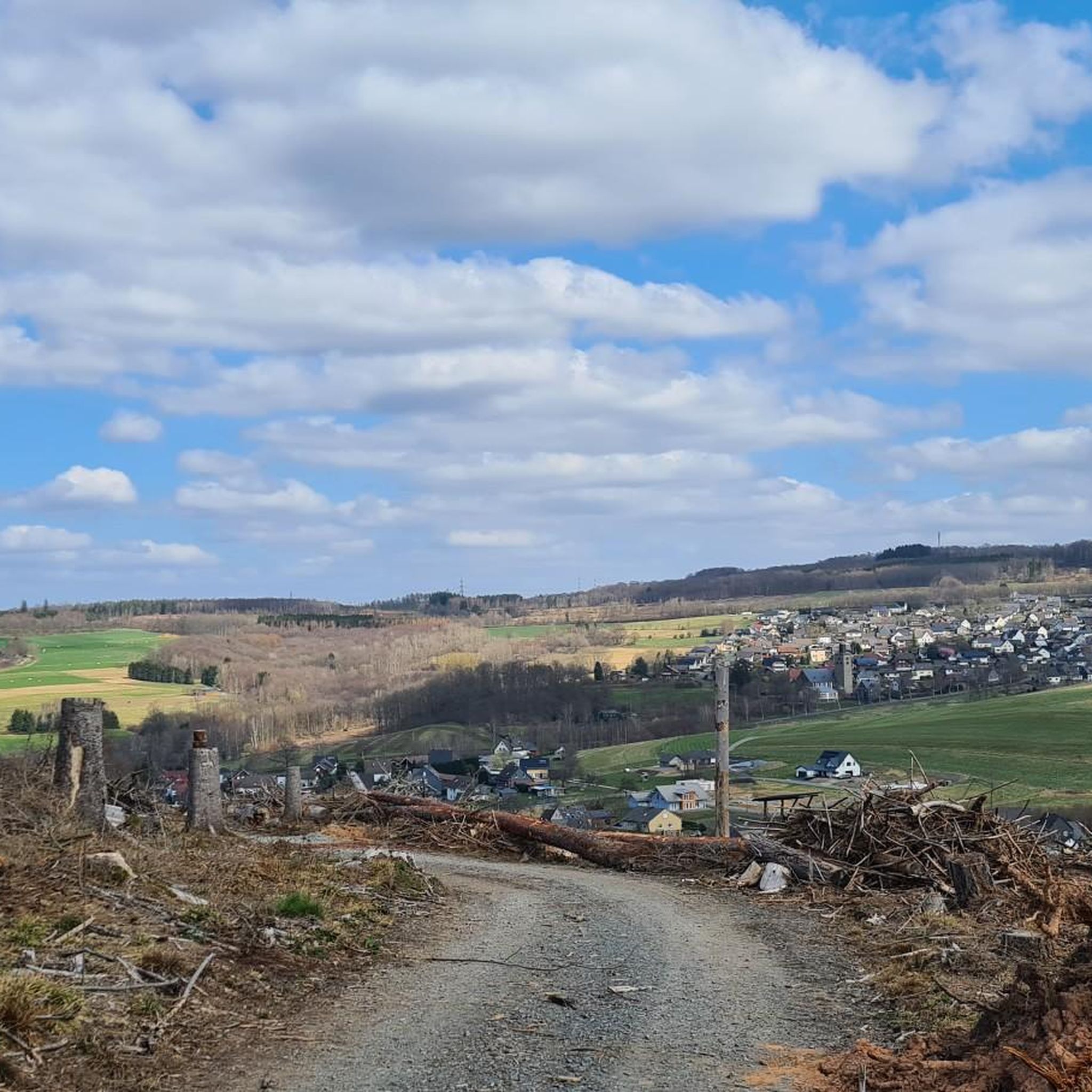
Top views into the Daadener Land.
0
0

Beautiful pond, partly a singletrack leads around it
0
0
Small singletrail along the pond
0
0
Super great national natural heritage of approx. 1,900 hectares, in a former military training area.
0
0
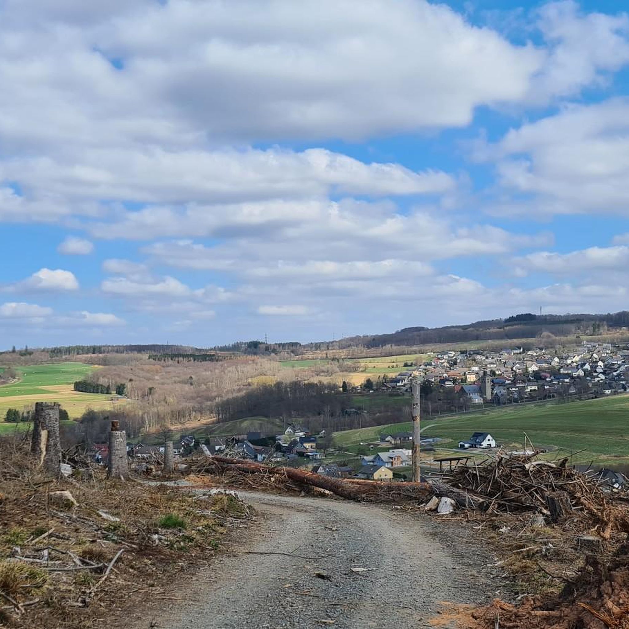
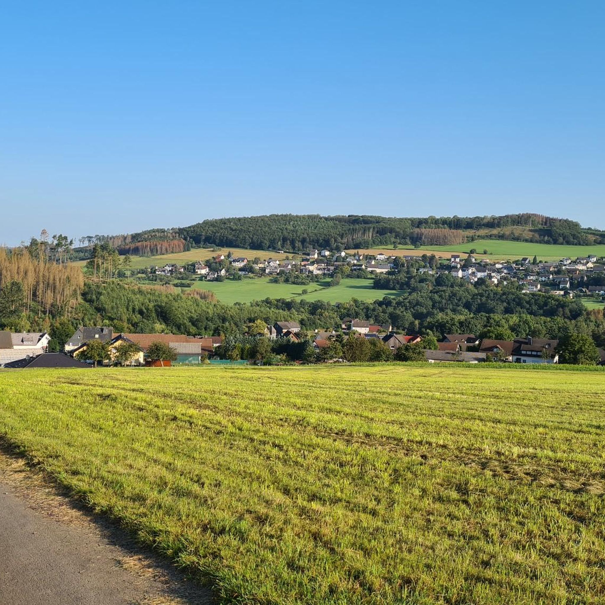
Really very beautiful view :-)
0
0
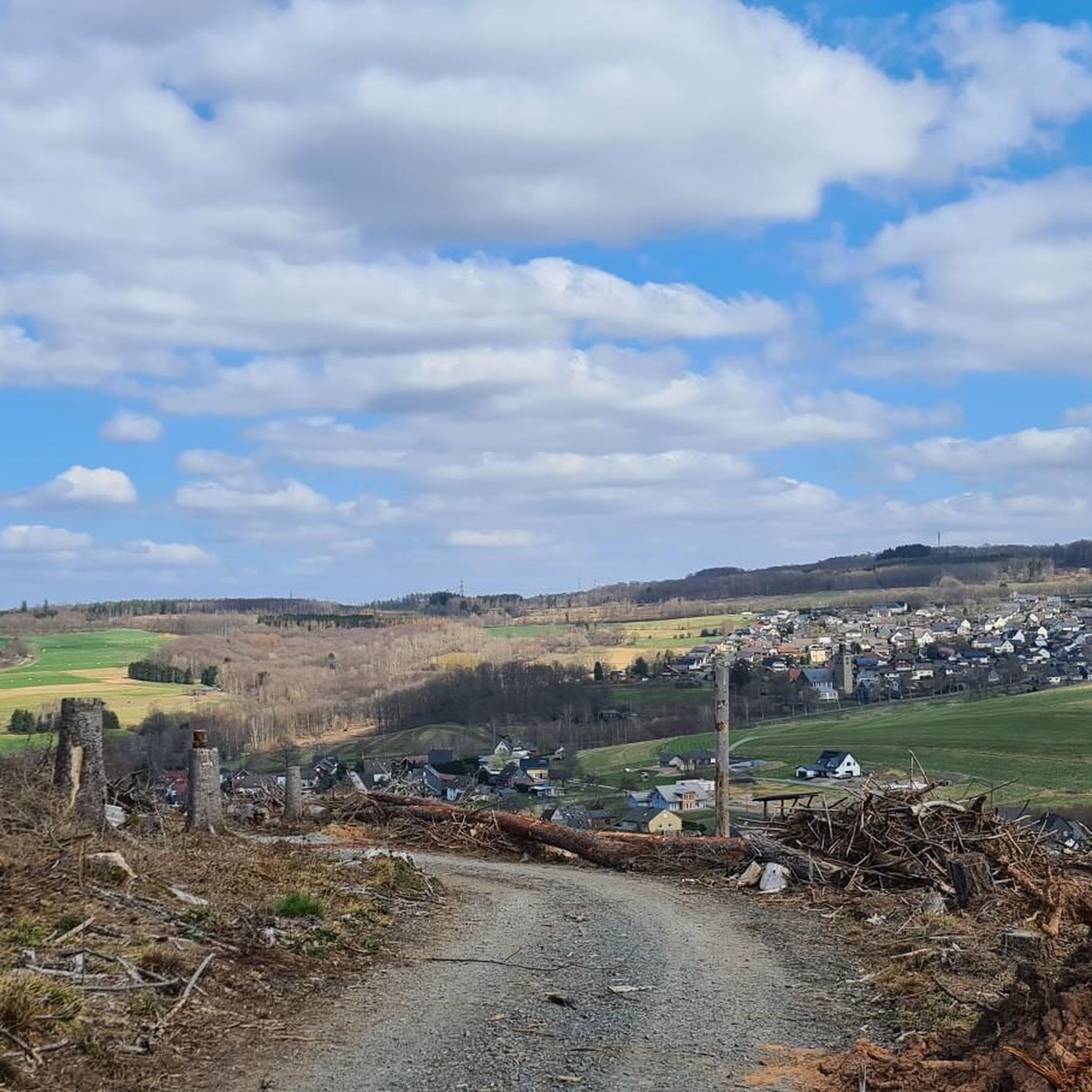
Wow, that's when you really see what forces are at play
0
0


Frequently Asked Questions
What is the typical difficulty of running routes in Dickendorf?
Running routes around Dickendorf offer a good mix of difficulties. You'll find easy paths, such as the Running loop from Landkreis Altenkirchen (Westerwald), which is 2.9 miles (4.7 km) long. The majority, over 200 routes, are moderate, featuring rolling hills characteristic of the Westerwald. There are also difficult options for experienced runners, like the challenging Wooden cross in the Westerwald – Elkenrother Weiher loop from Gebhardshain-Steinebach, spanning over 20 miles (33 km).
What kind of scenery can I expect on running routes in Dickendorf?
The running routes in Dickendorf showcase the diverse landscape of the Westerwald. You can expect a blend of tranquil forested paths, open areas with panoramic views, and scenic water features like the Elkenrother Weiher. Many routes offer picturesque pond views and opportunities to explore the region's natural beauty.
Are there family-friendly running routes in Dickendorf?
Yes, Dickendorf offers several running routes suitable for families. Many of the 42 easy routes provide gentle terrain and shorter distances, perfect for a family outing. These paths often wind through forests or along the Elkenrother Weiher, offering pleasant and manageable experiences for all ages.
Can I bring my dog on the running trails in Dickendorf?
Generally, dogs are welcome on the running trails around Dickendorf, especially on the numerous forested paths and open areas. It's always a good idea to keep your dog on a leash, especially near wildlife or other trail users, and to respect local regulations. The natural environment of the Westerwald is ideal for running with your canine companion.
Are there many circular running routes available in Dickendorf?
Yes, circular routes are very common in Dickendorf, allowing you to start and finish at the same point without retracing your steps. A popular example is the Elkenroth Pond – Elkenrother Weiher loop from Elkenroth, which offers a scenic 6.8-mile (11.0 km) run around the pond.
What are the typical lengths of running trails around Dickendorf?
The running trails in Dickendorf vary significantly in length. You'll find shorter, easy routes around 3 miles (5 km), perfect for a quick jog. Moderate routes often range from 6 to 8 miles (10 to 13 km), while more challenging and difficult trails can extend over 20 miles (30 km), catering to long-distance runners.
What do other runners enjoy the most about jogging in Dickendorf?
The running routes in Dickendorf are highly rated by the komoot community, with an average score of 4.5 stars from over 400 reviews. Runners frequently praise the varied terrain, from rolling hills to tranquil ponds, and the well-maintained forested paths. The diverse scenery and options for all skill levels are often highlighted as key attractions.
Are there any interesting landmarks or natural attractions along the running routes?
Absolutely! Many running routes in Dickendorf pass by or near interesting landmarks and natural attractions. You might encounter the serene Elkenrother Weiher, or explore historical sites like Hachenburg Old Town and Market Square. For those interested in natural monuments, the Druid's Stone is another notable point of interest in the wider region.
How many running routes are available in Dickendorf?
Dickendorf boasts a comprehensive network of nearly 300 running routes. This includes over 40 easy routes, more than 200 moderate options, and over 40 challenging trails, ensuring there's a suitable path for every runner's preference and fitness level.
Is parking readily available near the running trails in Dickendorf?
Yes, parking is generally available near the starting points of many running trails in Dickendorf, especially in and around the villages like Elkenroth and Gebhardshain-Steinebach. Look for designated parking areas or roadside spots near trailheads, particularly those leading to popular areas like the Elkenrother Weiher.
Are there suitable running routes for winter in Dickendorf?
While the Westerwald can experience snow and ice in winter, many of the well-established running paths around Dickendorf remain accessible. Forested trails might offer some protection from wind, and routes with lower elevation changes, like the Elkenrother Weiher loop from Elkenroth, can be good options. Always check local conditions and wear appropriate gear for winter running.
Are there places to refuel or relax near the running routes in Dickendorf?
Yes, depending on your chosen route, you can find opportunities to refuel or relax. Villages like Elkenroth and Gebhardshain-Steinebach, which serve as starting points for many routes, often have local cafes or eateries. For example, the Running loop from Gebhardshain-Steinebach starts near such amenities.
Most popular routes around Dickendorf
Most popular attractions around Dickendorf

Get inspired with the komoot mobile app


Explore more
Browse the best Running Trails & Routes in other regions.
