The best running trails around Weitersbach
4.4
(78)
1,219
runners
101
runs
Jogging routes around Weitersbach offer a diverse landscape for outdoor enthusiasts. Situated within the Idar Forest and the broader Hunsrück uplands, the region features extensive woodlands and varied terrain. The prominent Idarkopf mountain, with its summit partly within Weitersbach's municipal limits, provides significant elevation changes and panoramic viewpoints. The area is also shaped by the scenic Idarbach stream, contributing to a natural environment ideal for running.
Best jogging routes around Weitersbach
- The most popular jogging route is View from the…
Last updated: October 6, 2026
15
runners
22.2km
02:36
440m
440m
Hard run. Very good fitness required. Mostly paved surfaces. Suitable for all skill levels.
5
runners
13.2km
01:29
180m
180m
Moderate run. Good fitness required. Mostly paved surfaces. Suitable for all skill levels.

9
runners
Easy run. Great for any fitness level. Mostly paved surfaces. Suitable for all skill levels.
6
runners
11.1km
01:17
190m
190m
Moderate run. Good fitness required. Mostly paved surfaces. Suitable for all skill levels.
4.0
(2)
5
runners
12.5km
01:25
150m
150m
Moderate run. Good fitness required. Mostly paved surfaces. Suitable for all skill levels.
Get access to more routes and recommendations from other explorers.
Already have an account?
Our route recommendations are based on thousands of hikes, rides, and runs completed by other people on komoot.
Start today with a free account
Your next adventure awaits.

Tips from the Community

Bridge with very steep steps, the bike is almost vertical :-O
0
0
Beautiful kiosk with a great view
0
0


If you listen closely, you can even hear the bats. Really amazing.
0
0

The Kappleifelsen tour is interesting and easy to do, not least because of places like this.
0
0

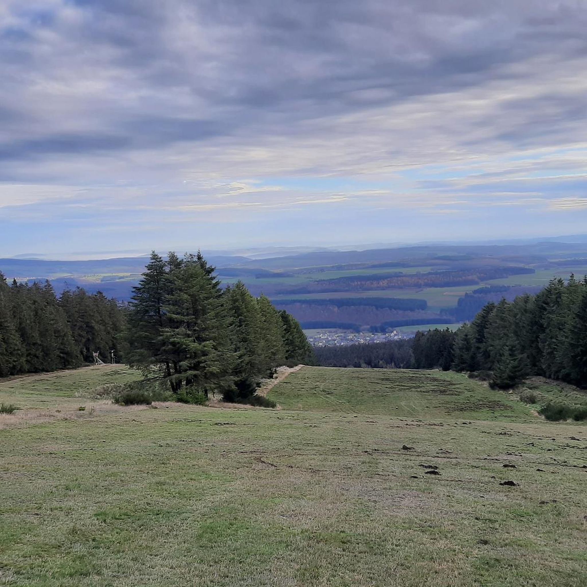
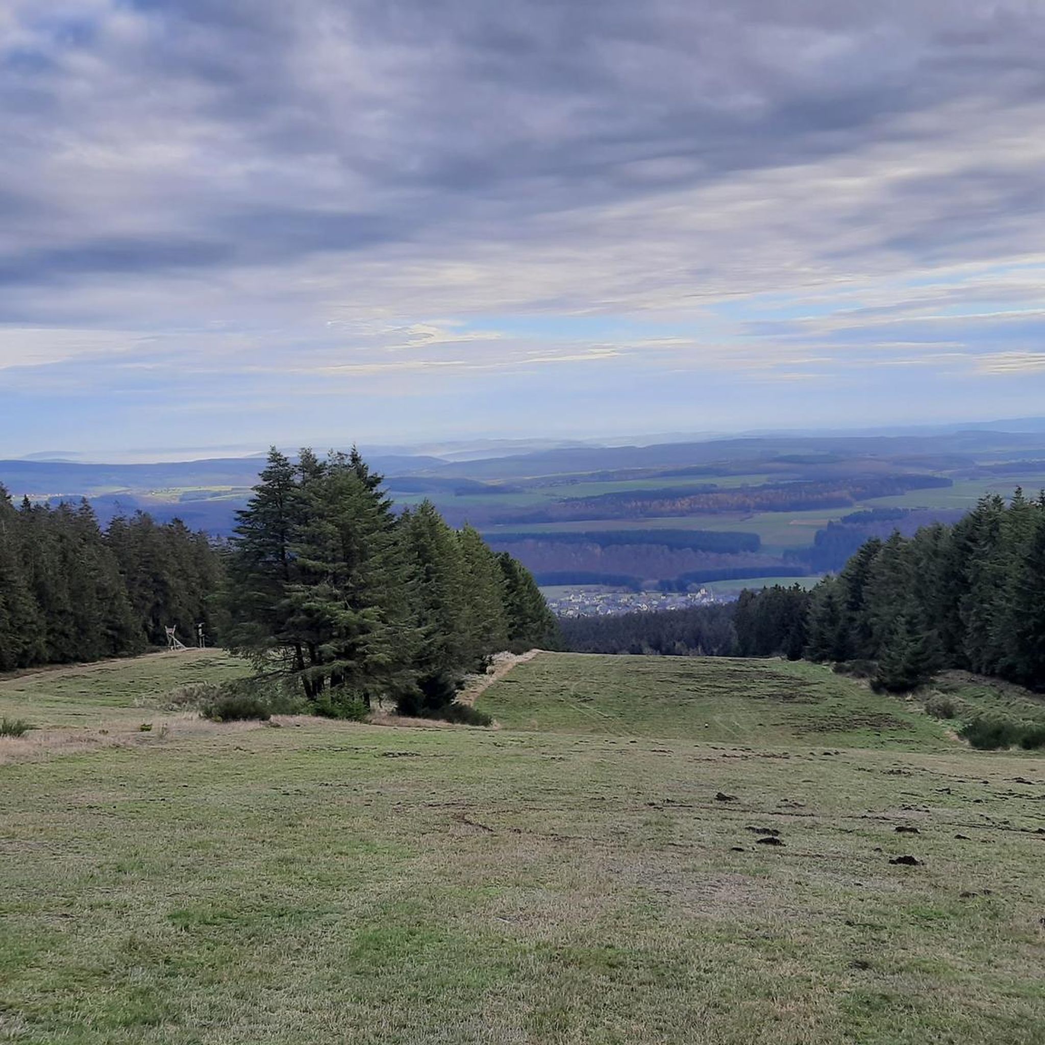
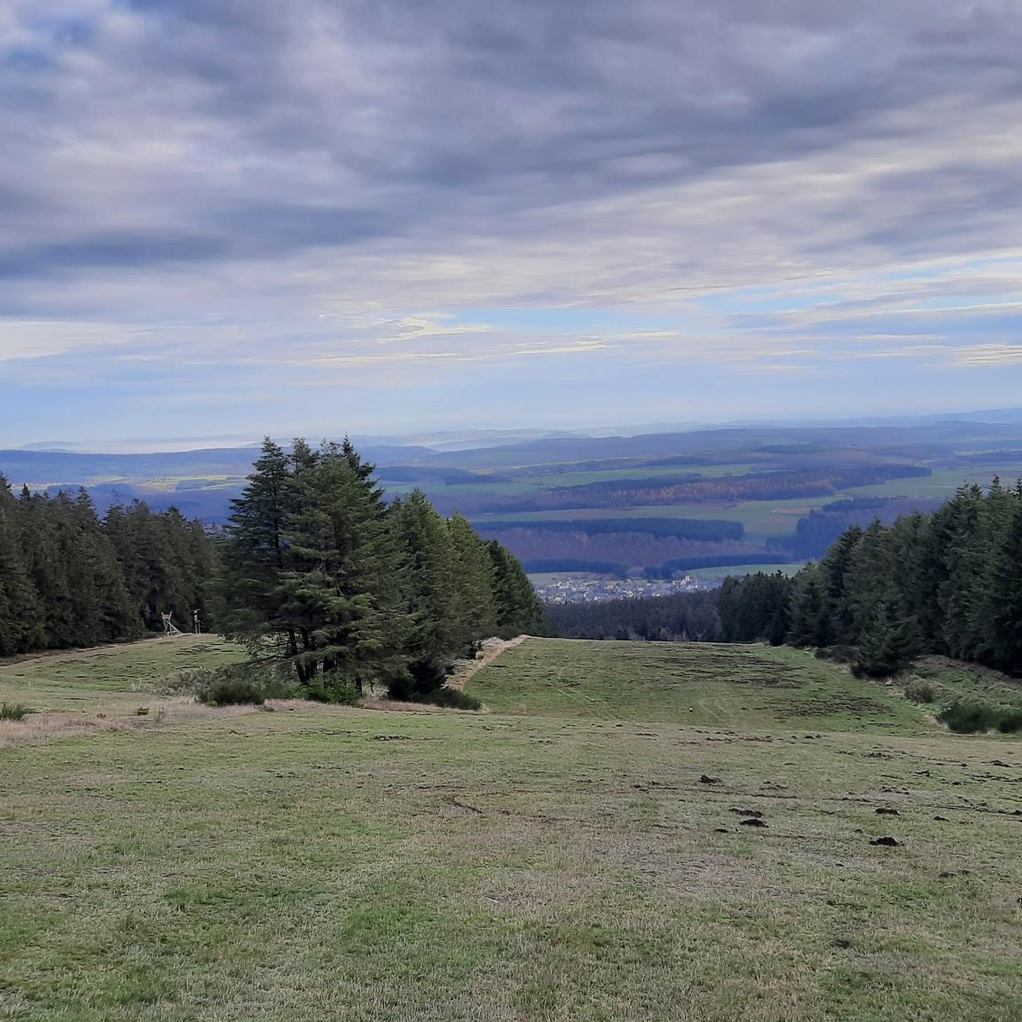
The Idarkopf offers excellent panoramic views over the surrounding Hunsrück heights. The new Idarkopf tower, a hybrid construction made of wood and hot-dip galvanized steel, was opened in December 2022 after the previous wooden tower, which was damaged by fire in 2018, was demolished in February 2022.
2
1

Not far from the Laufersweiler am Idarbach recreational area, which was built on the ruins of the former swimming pool, there is a tunnel entrance on the slope of the Hüttenberg directly on the serpentine path. A few meters above this there is a large grate in the forest floor, which secures the vertical shaft and offers the bats the best flight paths. After the tunnel mouth there is a grate that has long been sawn open, then the chamber that is closed at the top by the grate opens. From here a tunnel leads deep into the mountain, but it cannot be reached without equipment, as a shaft leads deep into another level that cannot be bypassed.
0
0

The observation tower on the Idarkopf mountain in the Saar-Hunsrück Nature Park, located in the EdelSteinLand region, offers breathtaking panoramic views from its height of over 30 meters. The original tower was destroyed by fire in 2018; now, a hybrid structure made of construction timber and hot-dip galvanized steel graces the summit. (Source: https://presse.rlp-tourismus.com/infosystem/infosystem/Aussichtspunkt-Idarkopfblick_Rhaunen/infosystem.html)
2
0
Frequently Asked Questions
How many running routes are available around Weitersbach?
Weitersbach offers a wide selection of over 100 running routes. These include 13 easy routes, 81 moderate routes, and 13 difficult routes, catering to various fitness levels and preferences.
What kind of terrain can I expect on the jogging trails in Weitersbach?
The terrain around Weitersbach is quite varied, ranging from easily navigable paths to more challenging routes with significant elevation changes. You'll find extensive woodlands, rolling hills, and scenic sections along the Idarbach stream, all within the picturesque Idar Forest and Hunsrück uplands.
Are there any easy running routes suitable for beginners or a relaxed jog?
Yes, Weitersbach has 13 easy running routes. For a gentle and scenic option, consider the View from the Idarkopf – The new Idarkopf Tower loop from Idarkopf. This 4.2 km route is mostly flat and leads to the Idarkopf Tower, offering expansive views.
Where can I find challenging running trails for advanced runners?
For those seeking a more demanding workout, Weitersbach offers 13 difficult running routes. A notable option is the Ascent to Hellkirch Ruins – Pensioners' Path at Wartenberg loop from Rhaunen, a challenging 23.5 km trail with significant elevation changes.
What are some scenic viewpoints or landmarks I can see while running in Weitersbach?
The region is rich in natural beauty and historical sites. The Idarkopf Tower on Idarkopf mountain offers breathtaking panoramic views over the Hunsrück heights. You might also encounter historical sites like the Hellkirch Ruins or natural formations such as Devil's Rock and Rabenkanzel Rock Formation along various trails.
Are there any circular running routes in the Weitersbach area?
Yes, many of the routes around Weitersbach are circular, allowing you to start and end at the same point. For example, the Pensioners' Path at Wartenberg – Bollenberg loop from Rhaunen is a moderate 12.8 km circular path featuring rolling hills and forest sections.
What do other runners say about the trails in Weitersbach?
The running routes in Weitersbach are highly regarded by the komoot community, with an average rating of 4.4 stars from over 60 reviews. Runners often praise the diverse terrain, the fresh forest air, and the stunning panoramic views, especially from the Idarkopf.
Are there any running routes that pass by historical sites or natural monuments?
Absolutely. Many routes offer glimpses of the region's history and natural wonders. You could explore trails near the Baldenau Castle Ruins or the ancient Schinderhannes Trough. The area also features interesting caves like the Rock tunnel.
What is the best time of year to go running in Weitersbach?
Weitersbach is suitable for outdoor activities throughout the year. The extensive forest cover provides welcome shade during warmer months, while the varied terrain offers different experiences in spring, autumn, and even winter. The panoramic views are particularly stunning on clear days, regardless of the season.
Are there any moderate running routes that offer good views?
Yes, many moderate routes combine enjoyable running with scenic vistas. The Pensioners' Path at Wartenberg – View of Wartenberg loop from Rhaunen is a moderate 11.2 km route that provides excellent views of the surrounding landscape.
Can I find routes that are suitable for a longer run, perhaps over 10 km?
Certainly. Weitersbach has numerous routes exceeding 10 km. The Running loop from Rhaunen is a moderate 12.9 km trail that takes you through varied terrain and woodlands, perfect for a longer run.
Most popular routes around Weitersbach
Most popular attractions around Weitersbach

Get inspired with the komoot mobile app


Explore more
Browse the best Running Trails & Routes in other regions.
