The best running trails around Niederwörresbach
4.2
(117)
1,437
runners
138
runs
Jogging routes around Niederwörresbach offer diverse landscapes within the Hunsrück region, providing varied terrain for runners. The area is characterized by ancient beech forests, mystical moors, and distinctive geological formations, including steep rocks and rocky ridges. Proximity to the Hunsrück-Hochwald National Park ensures access to a rich natural environment with well-maintained trails. The network of running paths caters to various fitness levels, from easy loops to more challenging routes with significant elevation gain.
Best jogging routes around Niederwörresbach
- The most popular jogging route is Kreuzbuche loop from Herborn, a 5.3 miles (8.5 km) trail that takes about 54 minutes to complete, winding through the local woodlands.
- Another top favourite among local runners is Little Forest Highway – Barrier at Wassergall loop from Vollmersbach, a moderate 5.3 miles (8.5 km) path. This route features accessible paths through forest areas, offering a steady running experience.
- Local runners also love the Little Forest Highway – Viewpoint Huben Rest Area loop from Niederwörresbach, a 12.3 miles (19.8 km) trail leading through varied forest terrain with significant elevation, often completed in about 2 hours 23 minutes.
- Jogging around Niederwörresbach is defined by ancient beech forests, mystical moors, and the scenic Hunsrück-Hochwald National Park. The extensive network offers options for different ability levels, from gentle paths to more demanding ascents.
- The routes in Niederwörresbach are highly rated by the komoot community with an average score of 4.4 stars from over 90 reviews. More than 1400 runners have used komoot to explore Niederwörresbach's varied terrain.
Last updated: August 6, 2026
4.6
(15)
120
runners
8.57km
00:55
110m
110m
Moderate run. Good fitness required. Mostly paved surfaces. Suitable for all skill levels.
5.0
(1)
18
runners
Hard run. Very good fitness required. Mostly accessible paths. Some sure footedness required.

Sign up for free
4.0
(1)
11
runners
Moderate run. Good fitness required. Mostly paved surfaces. Suitable for all skill levels.
8
runners
Moderate run. Good fitness required. Mostly paved surfaces. Suitable for all skill levels.
3.7
(3)
8
runners
3.95km
00:25
40m
40m
Easy run. Great for any fitness level. Mostly paved surfaces. Suitable for all skill levels.
Get access to more routes and recommendations from other explorers.
Sign up for free
Already have an account?
Our route recommendations are based on thousands of hikes, rides, and runs completed by other people on komoot.
Start today with a free account
Your next adventure awaits.
Login or Signup
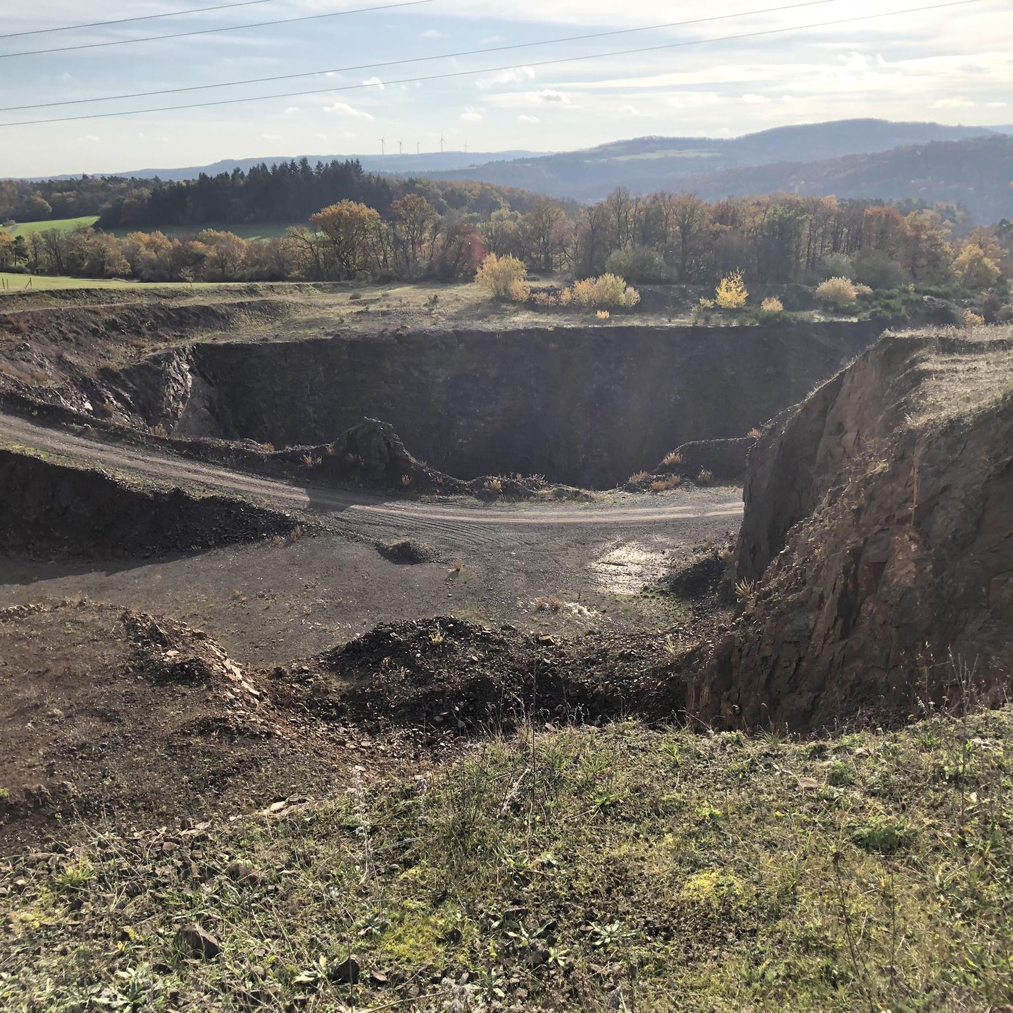
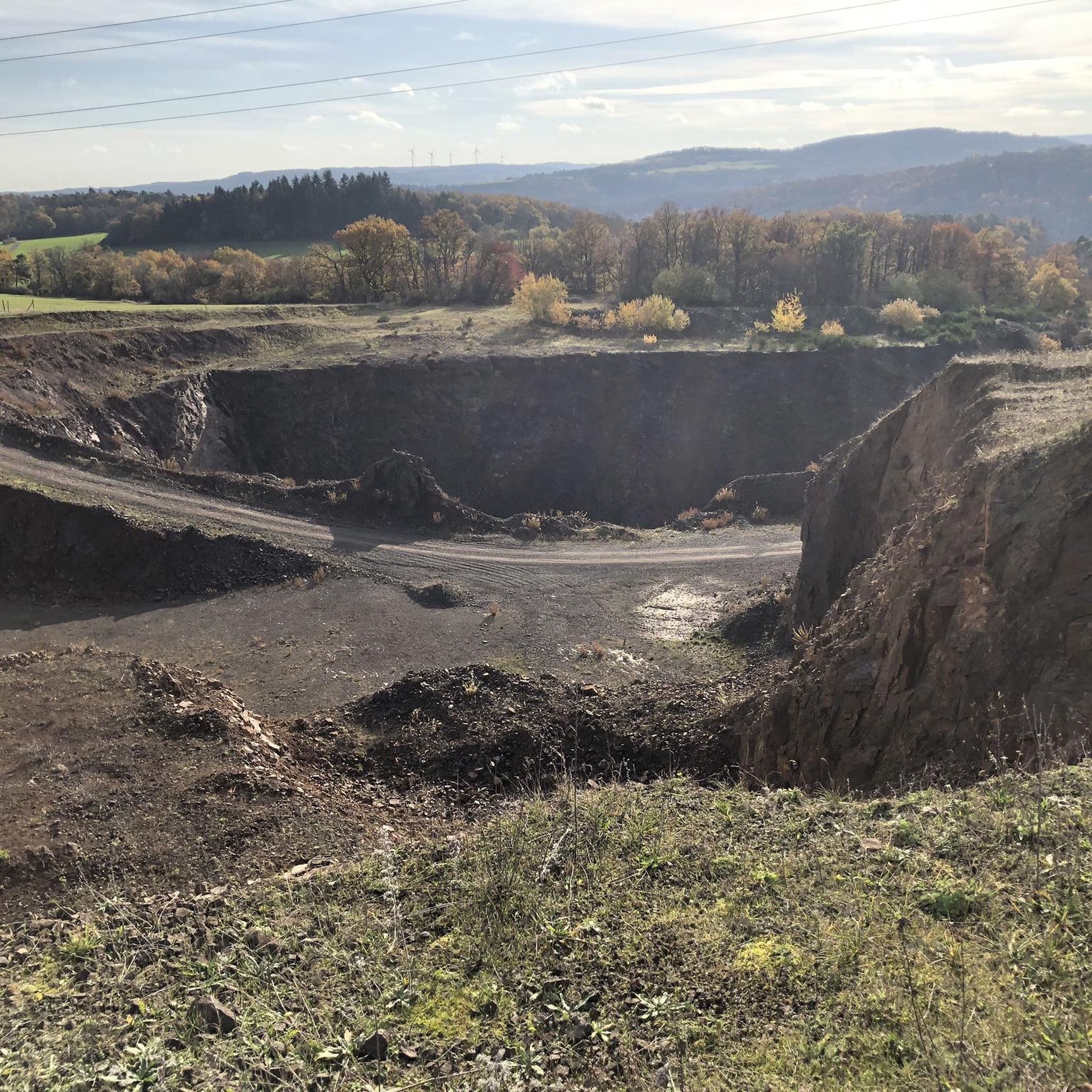
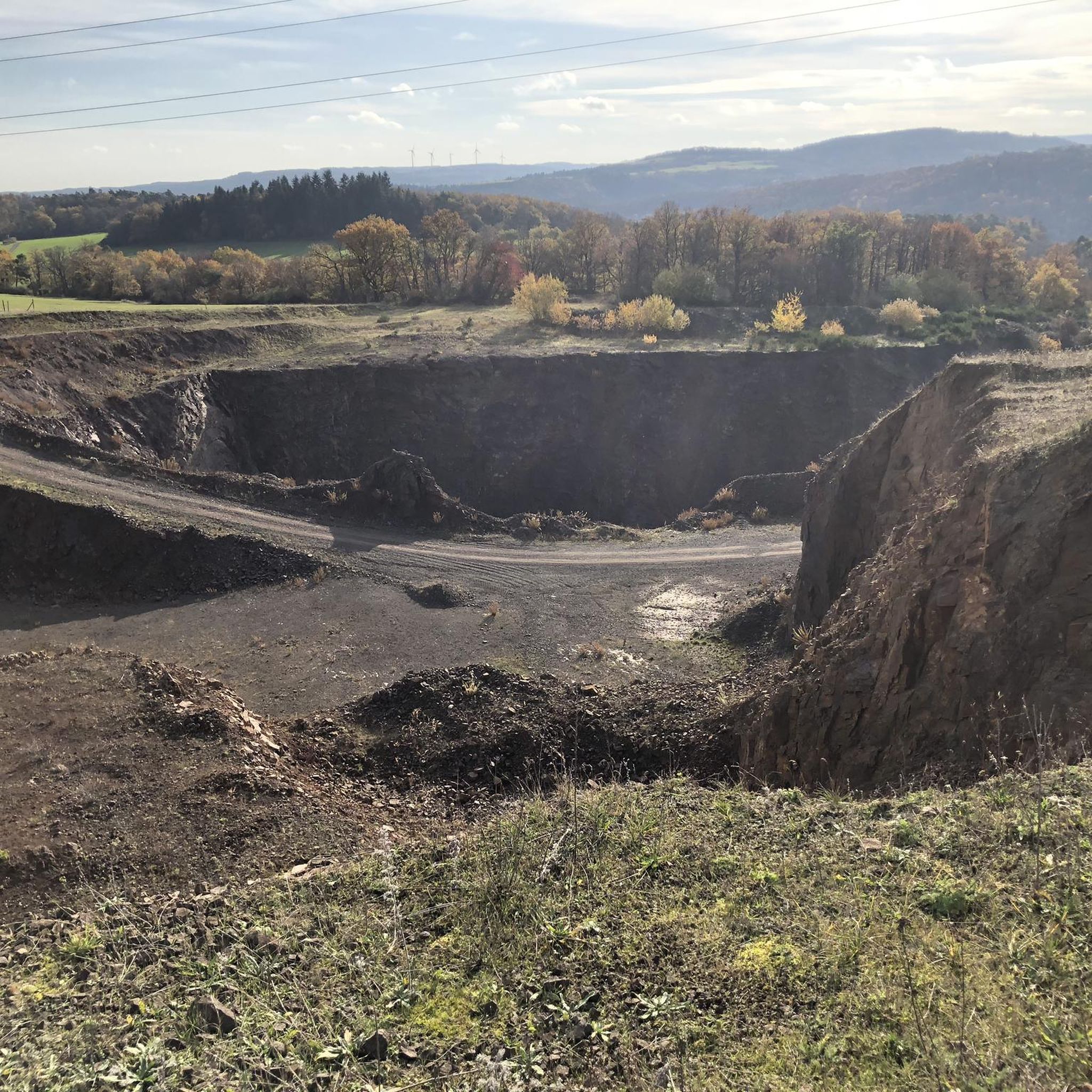
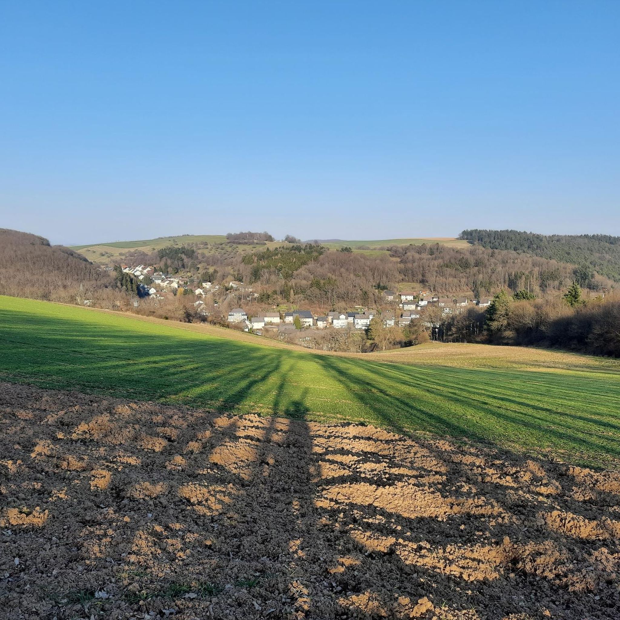
Tips from the Community

The Schrankänkanke on the Wassergall isn't that crazy. The horse farmer always ended up being driven over his land when two cars met. And no one drove slowly up there either! Now you can go biking or spstzazing with peace of mind 😊
0
0

Citizens' Initiative Offene Wassergall
0
0
Well, there it was, the cross beech
0
0

Always good for a little rest.
0
0

From here or from the hiking car park in Herborn you can start the national park cycle route.
0
0
Here she stood until the 🌩 hit
0
0
From here you have a great view of the beautiful Veitsrodt ;-)
0
0

Wonderfully sheltered on a hilltop with a view of the wide landscape
0
0
Frequently Asked Questions
How many running trails are available around Niederwörresbach?
The Niederwörresbach region offers a wide selection of running trails, with over 140 routes documented on komoot. This includes a variety of paths suitable for different fitness levels.
What kind of difficulty levels can I expect on the running routes in this area?
You'll find a diverse range of difficulty levels. There are 16 easy routes perfect for beginners or a relaxed jog, 109 moderate trails for a good workout, and 22 challenging routes for experienced runners seeking significant elevation gains.
What do other runners say about the trails in Niederwörresbach?
The running routes in Niederwörresbach are highly regarded by the komoot community, boasting an average rating of 4.4 stars from over 90 reviews. More than 1400 runners have explored the varied terrain, often praising the scenic ancient beech forests and well-maintained paths.
Are there many circular running routes in the Niederwörresbach area?
Yes, many of the running paths around Niederwörresbach are designed as loops, offering convenient circular tours. For example, the Kreuzbuche loop from Herborn is a popular 5.3-mile option that winds through local woodlands.
Are there any easy running routes suitable for beginners or a relaxed jog?
Absolutely. For an easy and pleasant run, consider the Part-time Lake – Sunny Viewpoint loop from Regulshausen. This route is just under 2.5 miles (3.9 km) with minimal elevation, making it ideal for a gentle jog.
What are some longer, more challenging running routes for experienced runners?
For a more demanding run, the Little Forest Highway – Viewpoint Huben Rest Area loop from Niederwörresbach is an excellent choice. This 12.3-mile (19.8 km) trail features significant elevation gain and leads through varied forest terrain, typically taking over two hours to complete.
What kind of natural landscapes and features can I expect to see while running?
The region is characterized by ancient beech forests, mystical moors, and distinctive geological formations. You'll also be close to the Hunsrück-Hochwald National Park, known for its rich biodiversity and scenic beauty. Many routes offer views of these natural wonders.
Are there any interesting landmarks or attractions along the running routes?
Yes, the area around Niederwörresbach is rich in points of interest. You might encounter historical sites like the Schmidtburg Castle Ruins, or natural features such as the adventurous Rock tunnel. The Kirschweiler Fortress also offers expansive views over the valley.
Are the running trails around Niederwörresbach suitable for families?
Many of the trails, especially the easier and moderate loops, are suitable for families. The diverse landscapes and well-maintained paths provide an enjoyable experience for all ages. Routes with less elevation and shorter distances are particularly family-friendly.
What is the best time of year to go jogging in Niederwörresbach?
The diverse landscapes of the Hunsrück region, with its ancient beech forests and varied terrain, make Niederwörresbach suitable for jogging throughout much of the year. Spring and autumn offer pleasant temperatures and beautiful scenery, while summer provides lush green views. Winter can also be an option, though some paths might be more challenging depending on snow and ice conditions.
Are there any routes that offer good viewpoints?
Yes, several routes provide excellent viewpoints. For instance, the Little Forest Highway – Viewpoint Huben Rest Area loop from Niederwörresbach explicitly mentions a viewpoint, offering scenic vistas over the surrounding Hunsrück landscape.
Can I find routes that are mostly through forests?
Absolutely. The region is known for its extensive ancient beech forests. Many routes, such as the Little Forest Highway – Barrier at Wassergall loop from Vollmersbach, feature accessible paths predominantly through forest areas, providing a shaded and immersive running experience.
Most popular routes around Niederwörresbach
Most popular attractions around Niederwörresbach

Get inspired with the komoot mobile app


Explore more
Browse the best Running Trails & Routes in other regions.
