The best running trails around Mörschied
4.3
(27)
382
runners
21
runs
Jogging around Mörschied offers access to a diverse natural landscape within the Hunsrück-Hochwald National Park. The region is characterized by dense forests, open meadows, and varied topography, providing a natural jogging experience. Trails predominantly consist of paths, forest roads, and gravel paths, with some stone paths featuring inclines. This varied terrain ensures engaging running routes for different fitness levels.
Best jogging routes around Mörschied
- The most popular jogging route is View from the Mörschieder Burr – Wildenburg Observation Tower loop…
Last updated: September 29, 2026
93
runners
Hard run. Very good fitness required. Mostly paved surfaces. Suitable for all skill levels.
30
runners
14.3km
01:39
340m
340m
Hard run. Very good fitness required. Mostly accessible paths. Some sure footedness required.

4.0
(4)
16
runners
Moderate run. Good fitness required. Mostly paved surfaces. Suitable for all skill levels.
3.0
(1)
14
runners
4.50km
00:29
60m
60m
Easy run. Great for any fitness level. Mostly paved surfaces. Suitable for all skill levels.
5.0
(1)
12
runners
5.52km
00:35
70m
70m
Moderate run. Good fitness required. Mostly paved surfaces. Suitable for all skill levels.
Get access to more routes and recommendations from other explorers.
Already have an account?
Our route recommendations are based on thousands of hikes, rides, and runs completed by other people on komoot.
Start today with a free account
Your next adventure awaits.
Tips from the Community

Beautiful enclosure with wild animals
0
0
Well protected in the onset of rain
0
0
Also beautiful in summer
0
0
Protection against unpredictable weather
0
0
Fitting for the castle the old chestnut tree
0
0
A detour and going up the tower once is worth it
0
0

This legendary place lies between gnarled trees and jagged rocks – with a simple wooden sign, yet a mystical aura. The name "Witches' Dance Ground" lends the scene a very unique atmosphere, which is particularly intense in the frosty winter. A quiet, slightly eerie place with a sense of historical magic. 💡 Tip 🔮 Stand for a moment in the middle of the square – history can almost be felt in the quiet snow.
1
1
This weathered stone structure acts like a silent sentinel over the snow-covered Hunsrück Forest. Presumably once part of an ancient defensive or viewing position, it now stands solitary and open on the edge of the Burr Plateau – surrounded by ice, rocks, and gnarled branches. An atmospheric place steeped in history and offering a panoramic view. 💡 Tip 🧭 Approach carefully – on a clear day, the view through the walls opens up deep into the Nahe Valley.
1
1
Frequently Asked Questions
How many running routes are available around Mörschied?
There are over 20 running routes available around Mörschied, offering a wide range of distances and difficulty levels suitable for various fitness levels. You'll find everything from short, easy loops to challenging long-distance trails.
Are there easy or beginner-friendly running trails in Mörschied?
Yes, Mörschied offers several easy running trails perfect for beginners or those looking for a relaxed jog. There are 4 routes classified as easy, such as the Running loop from Herrstein-Rhaunen, which is just under 3 miles (4.5 km) with minimal elevation gain.
What kind of terrain can I expect on the running routes in Mörschied?
The running routes in Mörschied, situated within the Hunsrück-Hochwald National Park, feature diverse terrain. You'll primarily encounter natural paths, forest roads, and gravel paths. Some routes also include stone paths with inclines, providing varied challenges and scenic views through dense forests and open meadows.
Are there any running routes with scenic viewpoints in Mörschied?
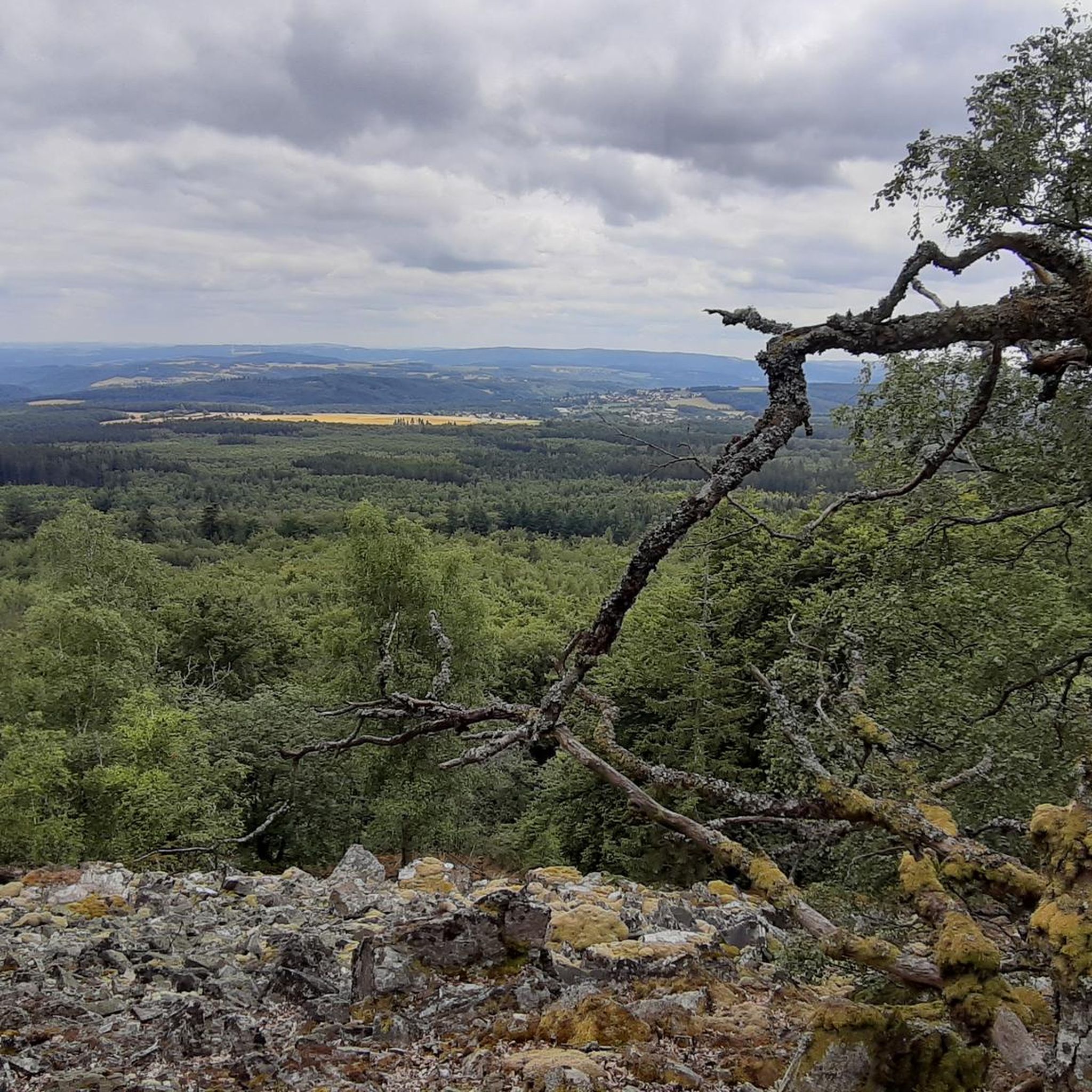
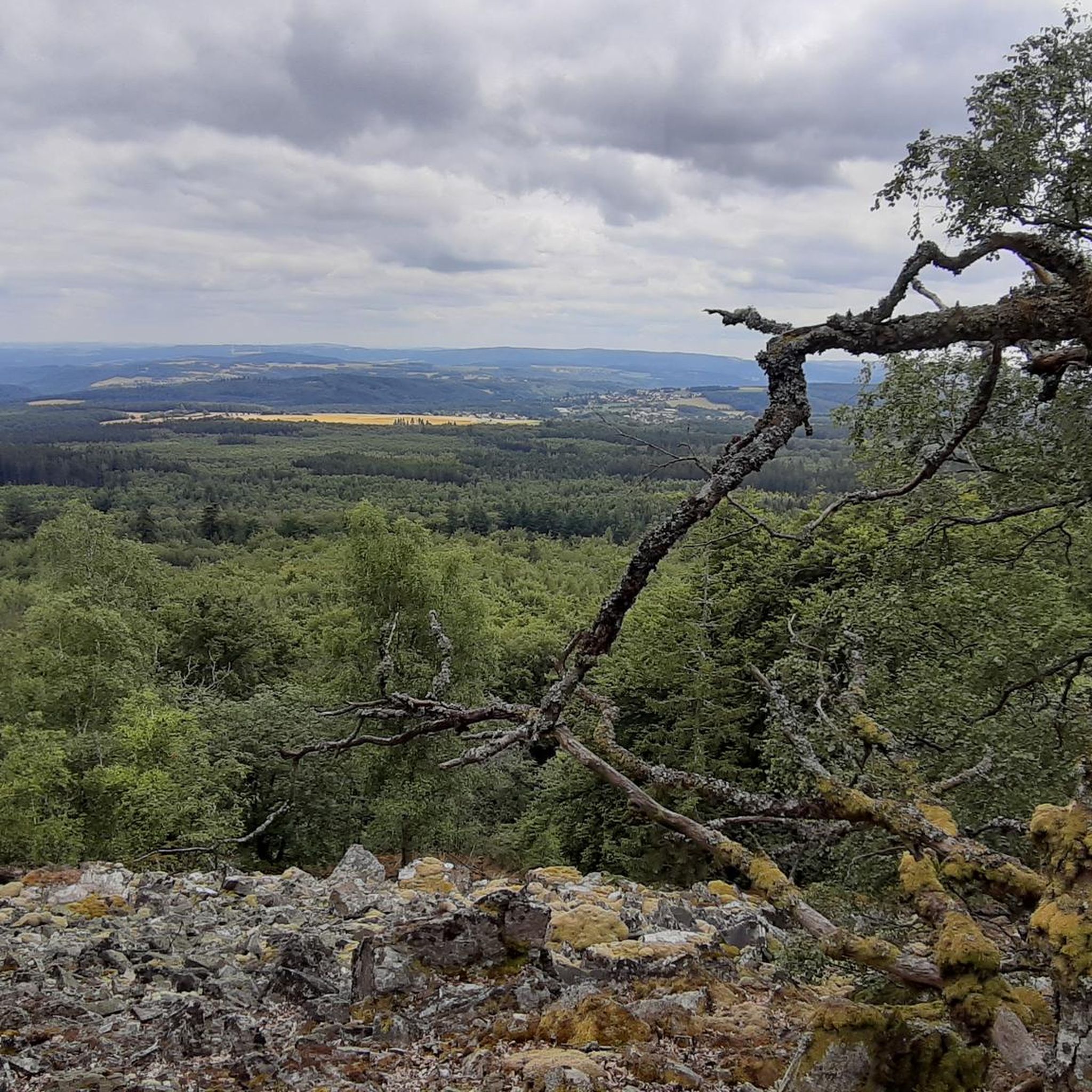
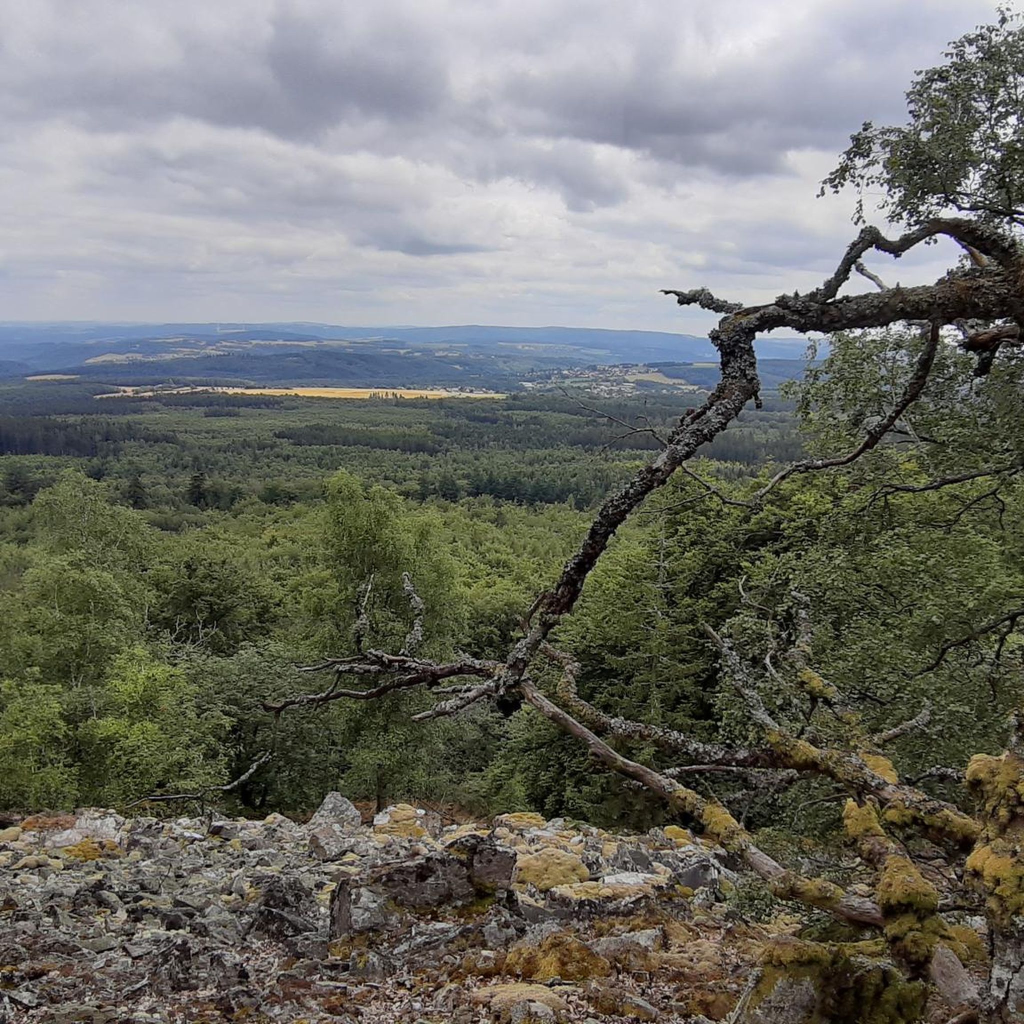
Absolutely! Many routes offer stunning views. For example, the challenging View from the Mörschieder Burr – Wildenburg Observation Tower loop from Herrstein-Rhaunen provides panoramic vistas from Mörschieder Burr and the Wildenburg Observation Tower. The region's natural protected areas like Mörschieder Burr and Wildenburg are known for their picturesque backdrops.
Can I find circular running routes in Mörschied?
Yes, Mörschied has numerous circular running routes. A popular option is the Kreuzbuche loop from Mörschied, an 8.7 miles (14.1 km) trail that takes you through dense woodlands and open areas, bringing you back to your starting point.
What do other runners enjoy most about jogging in Mörschied?
The running trails in Mörschied are highly rated by the komoot community, with an average score of 4.4 stars from over 20 reviews. Runners frequently praise the diverse natural landscape, the well-maintained paths through the Hunsrück-Hochwald National Park, and the engaging varied terrain that makes for an effective workout.
Are there any attractions or points of interest along the running routes?
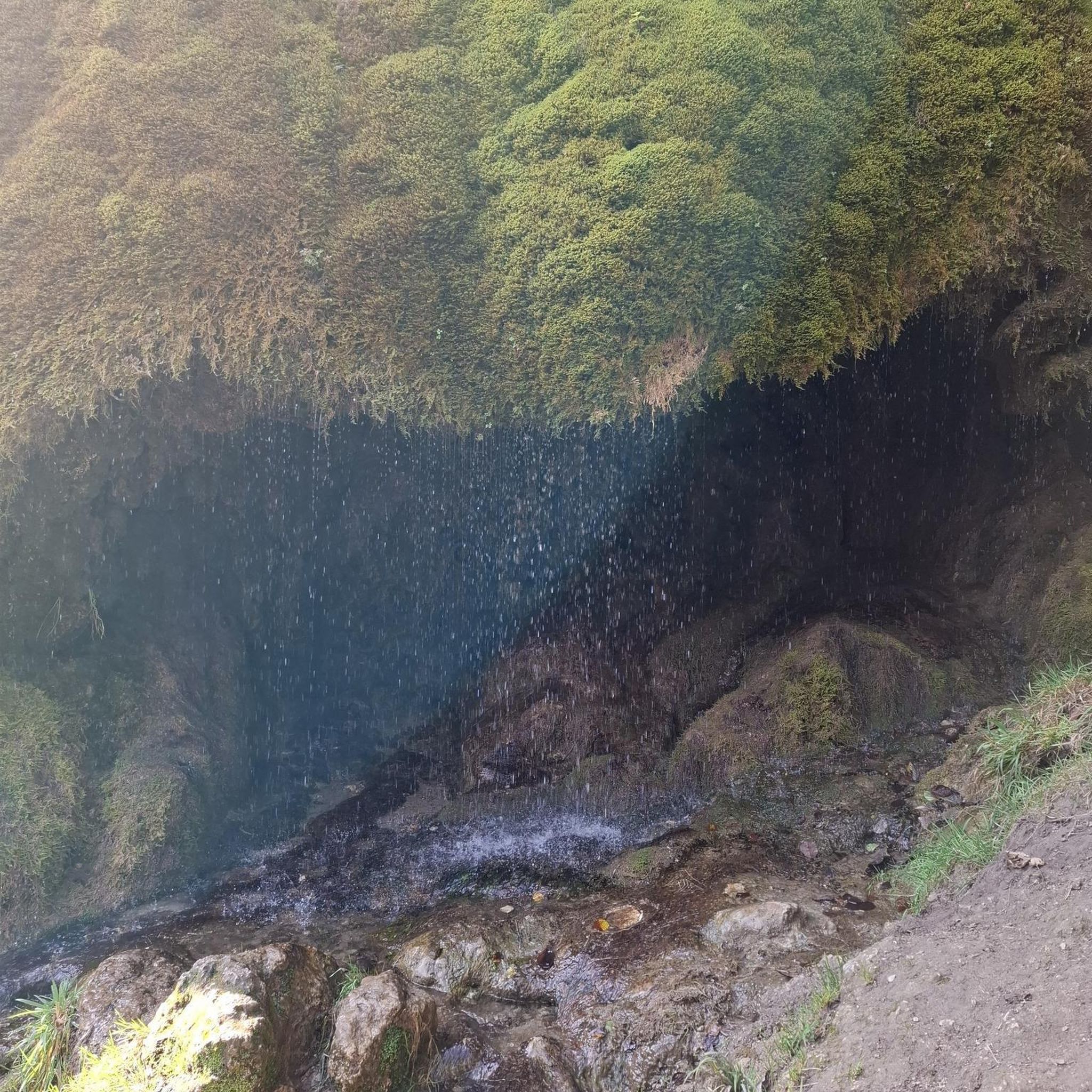
Yes, the area around Mörschied offers several natural attractions. While running, you might encounter beautiful lakes like Allenbacher Pond or Nixenweiher. There are also picturesque waterfalls, such as the Trübenbach Waterfall and the Katzenloch Waterfall, which can be a refreshing sight during your run.
Are the running trails in Mörschied suitable for dogs?
Many of the natural paths and forest roads in the Hunsrück-Hochwald National Park are generally dog-friendly, making them suitable for running with your canine companion. However, it's always advisable to keep dogs on a leash, especially in protected areas or near wildlife, and to check local regulations for specific trails.
What is the best time of year to go running in Mörschied?
Mörschied is an excellent destination for running year-round, but spring and autumn offer particularly pleasant conditions with mild temperatures and vibrant natural scenery. Summer provides lush green landscapes, while winter can transform the trails into a serene, snow-covered wonderland, though some paths might be more challenging due to ice or snow.
Are there any running routes that are particularly good for families?
While specific 'family-friendly' classifications aren't always available, shorter and easier routes with less elevation are generally best for families. The Running loop from Herrstein-Rhaunen is an easy option at 2.8 miles (4.5 km), making it suitable for families looking for a gentle jog or walk together.
Are there any cafes or places to eat near the running routes in Mörschied?
While the trails themselves are primarily natural and within the national park, you can find amenities in nearby villages. For example, the Reinhartsmühle Trout Farm offers dining options, and the Garden Restaurant at the Waterfall provides a scenic spot for a break and refreshment after your run.
What is the longest running route available in Mörschied?
The longest running route featured is the challenging View from the Mörschieder Burr – Wildenburg Observation Tower loop from Herrstein-Rhaunen, which spans 14.5 miles (23.4 km) with significant elevation gain. This route is ideal for experienced runners seeking a longer, more demanding workout.
Most popular attractions around Mörschied

Get inspired with the komoot mobile app


Explore more
Browse the best Running Trails & Routes in other regions.
