The best running trails around Herrstein
4.3
(103)
1,393
runners
143
runs
Jogging around Herrstein offers diverse landscapes on the edge of the Saar-Hunsrück Nature Park. The region features beautiful forests, deep valleys, and wide heights, providing varied terrain for runners. Joggers can expect ascents and descents, making for engaging and challenging runs through extensive natural areas. Its proximity to the Hunsrück-Hochwald National Park also provides a network of paths ideal for trail running.
Best jogging routes around Herrstein
- The most popular jogging route is View from the Mörschieder Burr – Wildenburg…
Last updated: October 27, 2026
93
runners
Hard run. Very good fitness required. Mostly paved surfaces.
30
runners
14.3km
01:39
340m
340m
Hard run. Very good fitness required. Mostly runnable paths. Some sure-footedness required.

5.0
(1)
18
runners
Hard run. Very good fitness required. Mostly runnable paths. Some sure-footedness required.
8
runners
2.97km
00:20
90m
80m
Easy run. Mostly paved surfaces.
5.0
(1)
5
runners
8.23km
00:55
140m
130m
Moderate run. Good fitness required. Mostly paved surfaces.
Get access to more routes and recommendations from other explorers.
Already have an account?
Our route recommendations are based on thousands of hikes, rides, and runs completed by other people on komoot.
Start today with a free account
Your next adventure awaits.
Popular around Herrstein
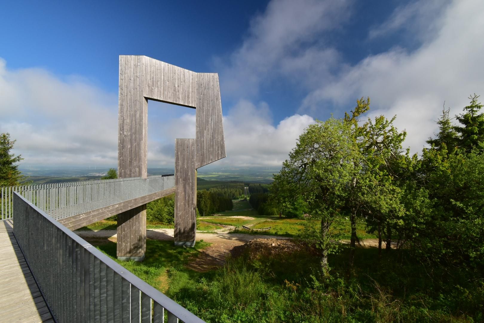
Saar-Hunsrück Climb – Hike in Germany where culture and nature meet
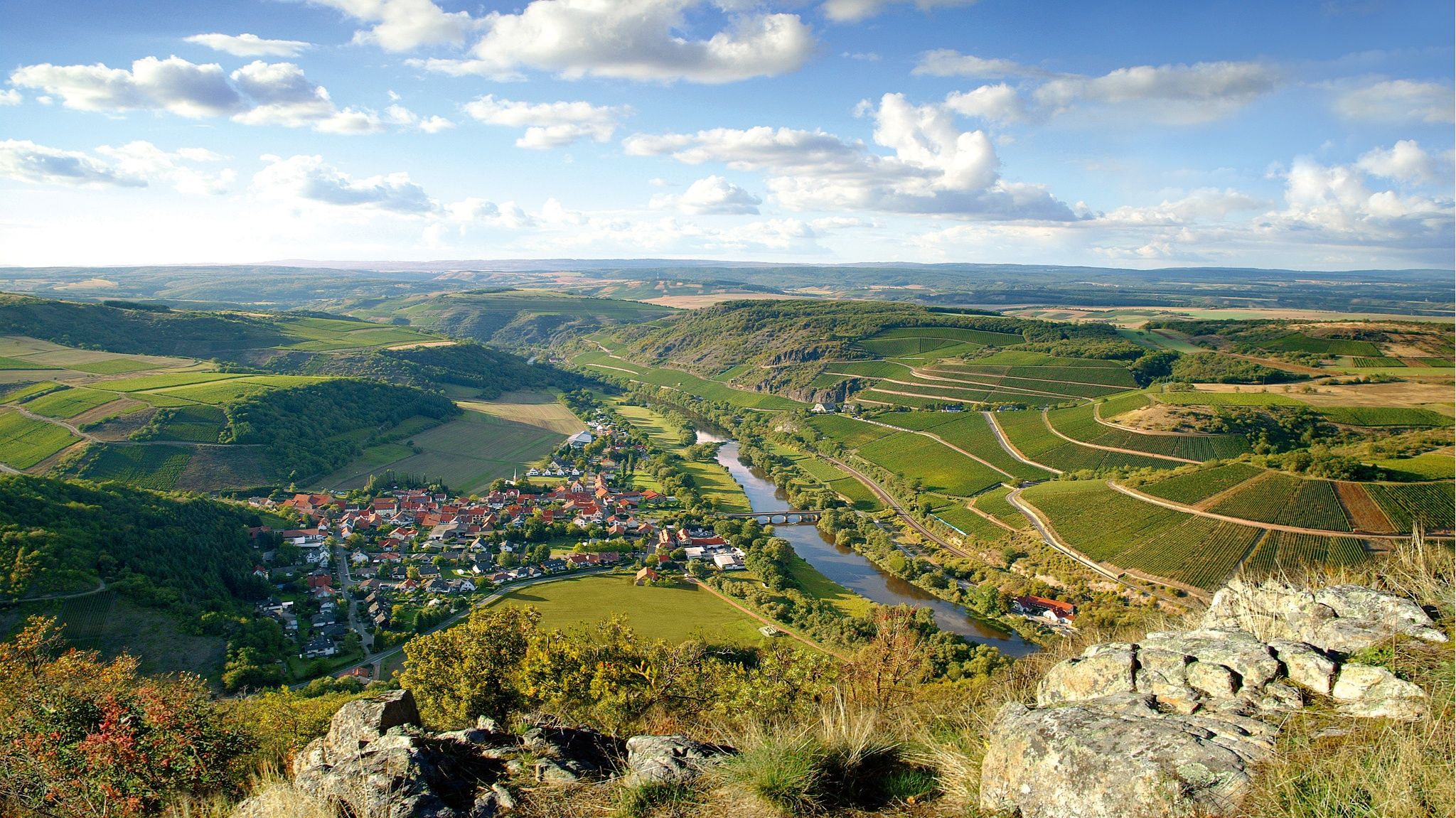
Top 10 hiking loops on the Nahe – Dream Loops and Vitaltours
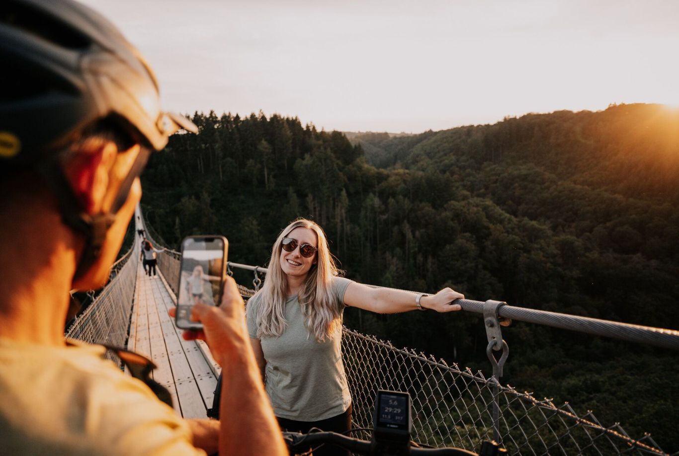
Cycling Tours to viewpoints in the Hunsrück-Nahe Region
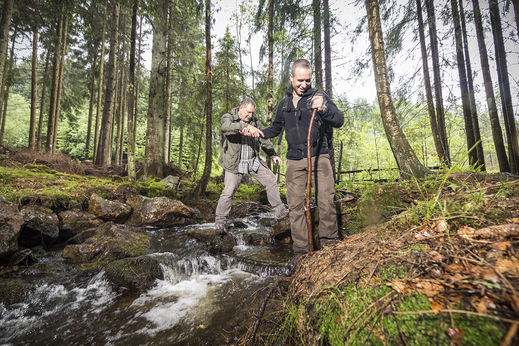
Off to the wild – hiking in the Birkenfelder Land
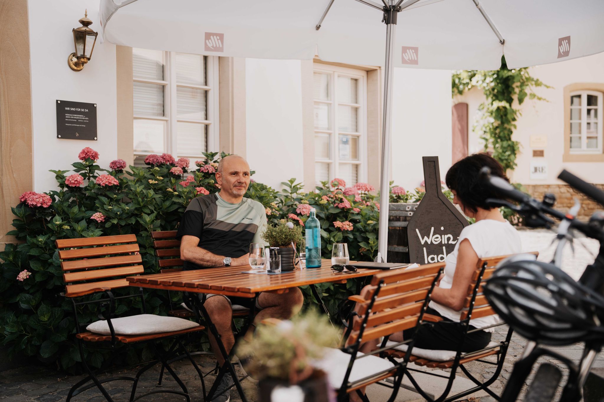
Genussradeln an der Nahe
Hiking around Herrstein
Road Cycling Routes around Herrstein
MTB Trails around Herrstein
Cycling around Herrstein

Gravel biking around Herrstein
Other adventures around Herrstein


Tips from the Community

After that comes the ascent :-) (but moderate)
0
0
Beautiful enclosure with wild animals
0
0
Well protected in the onset of rain
0
0
Also beautiful in summer
0
0
Protection against unpredictable weather
0
0
Fitting for the castle the old chestnut tree
0
0

This weathered stone structure acts like a silent sentinel over the snow-covered Hunsrück Forest. Presumably once part of an ancient defensive or viewing position, it now stands solitary and open on the edge of the Burr Plateau – surrounded by ice, rocks, and gnarled branches. An atmospheric place steeped in history and offering a panoramic view. 💡 Tip 🧭 Approach carefully – on a clear day, the view through the walls opens up deep into the Nahe Valley.
1
1
Frequently Asked Questions
How many running routes are available in Herrstein?
Herrstein offers a wide selection of running routes, with over 150 trails available for exploration. These routes cater to various fitness levels, including easy, moderate, and difficult options.
What kind of terrain can I expect on jogging trails around Herrstein?
The region around Herrstein is characterized by diverse terrain, including beautiful forests, deep valleys, and wide heights. Joggers can expect a mix of ascents and descents, providing engaging and sometimes challenging runs through extensive natural areas within the Saar-Hunsrück Nature Park and near the Hunsrück-Hochwald National Park.
Are there routes suitable for beginners or those looking for an easy run?
Yes, Herrstein offers several easy running routes. For instance, the Running loop from Herrstein-Rhaunen is a shorter, less strenuous option, perfect for beginners or a relaxed jog.
What do other runners say about the trails in Herrstein?
The running trails in Herrstein are highly rated by the komoot community, with an average score of 4.4 stars from over 85 reviews. More than 1300 runners have explored the area, often praising the varied terrain and scenic beauty.
Can I find running routes with historical landmarks or viewpoints?
Absolutely. Many routes offer a blend of nature and history. You can encounter landmarks like the Historic Old Town of Herrstein with its half-timbered houses, or enjoy panoramic views from spots like the Wildenburg Observation Tower. The View from the Mörschieder Burr – Wildenburg Observation Tower loop from Herrstein-Rhaunen is a great example, offering both views and varied forest paths.
Are there challenging running trails for experienced runners?
Yes, Herrstein provides challenging options for experienced runners. The region's varied terrain includes routes with significant elevation changes. The first stage of the Hildegard von Bingen Pilgrimage Trail, for example, is known for its steep gradients, and sections of the Saar-Hunsrück Climb also offer demanding 'ups and downs'.
Are the jogging routes around Herrstein suitable for families?
While many routes feature varied terrain, there are easier paths that families can enjoy. Look for routes designated as 'easy' in the guide, which typically have less elevation gain and shorter distances, making them more accessible for a family outing.
Can I bring my dog on the running trails in Herrstein?
Generally, dogs are welcome on most outdoor trails in the Herrstein region, especially within the natural parks. However, it's always advisable to keep them on a leash and check for any specific local regulations or protected areas where restrictions might apply.
Are there options for long-distance running or trail running?
Yes, Herrstein is an excellent base for long-distance and trail running. Its proximity to the Saar-Hunsrück Nature Park and Hunsrück-Hochwald National Park provides extensive trail networks. Long-distance routes like the Saar-Hunsrück Climb and the Hunsrück High Route (spanning almost 170 km) offer ample opportunities for extended runs through varied landscapes.
What are some natural features or scenic spots I might encounter while running?
You'll find numerous natural features and scenic spots. Expect to run through beautiful forests, deep valleys, and across wide heights offering panoramic views. Highlights include the Wildenburg Observation Tower, the Hexentanzplatz on the Wildenburger Kopf, and the Ringskopf Viewpoint and Rock Formations.
Is parking available near the running routes?
Yes, many running routes in Herrstein and the surrounding areas have designated parking facilities at their starting points or nearby villages. It's common to find parking available, especially near popular trailheads or in the historic town center.
What is the best time of year to go jogging in Herrstein?
The spring and autumn months are generally ideal for jogging in Herrstein, offering pleasant temperatures and vibrant natural scenery. Summer can also be great, especially in the cooler mornings or evenings, while winter runs can be beautiful but may require more preparation for potentially icy or snowy conditions.
Are there any circular running routes in Herrstein?
Yes, Herrstein offers several circular running routes. The 'Medieval Path' Dream Loop, for example, is a high-level hiking trail that starts and ends in Herrstein, providing a scenic and well-maintained circular option for joggers. Other routes like the Kreuzbuche loop from Mörschied also offer a complete circular experience.
Most popular attractions around Herrstein

Get inspired with the komoot mobile app


Explore more
Browse the best Running Trails & Routes in other regions.
