The best walks and hikes around Santilly
4.4
(264)
1,207
hikers
110
hikes
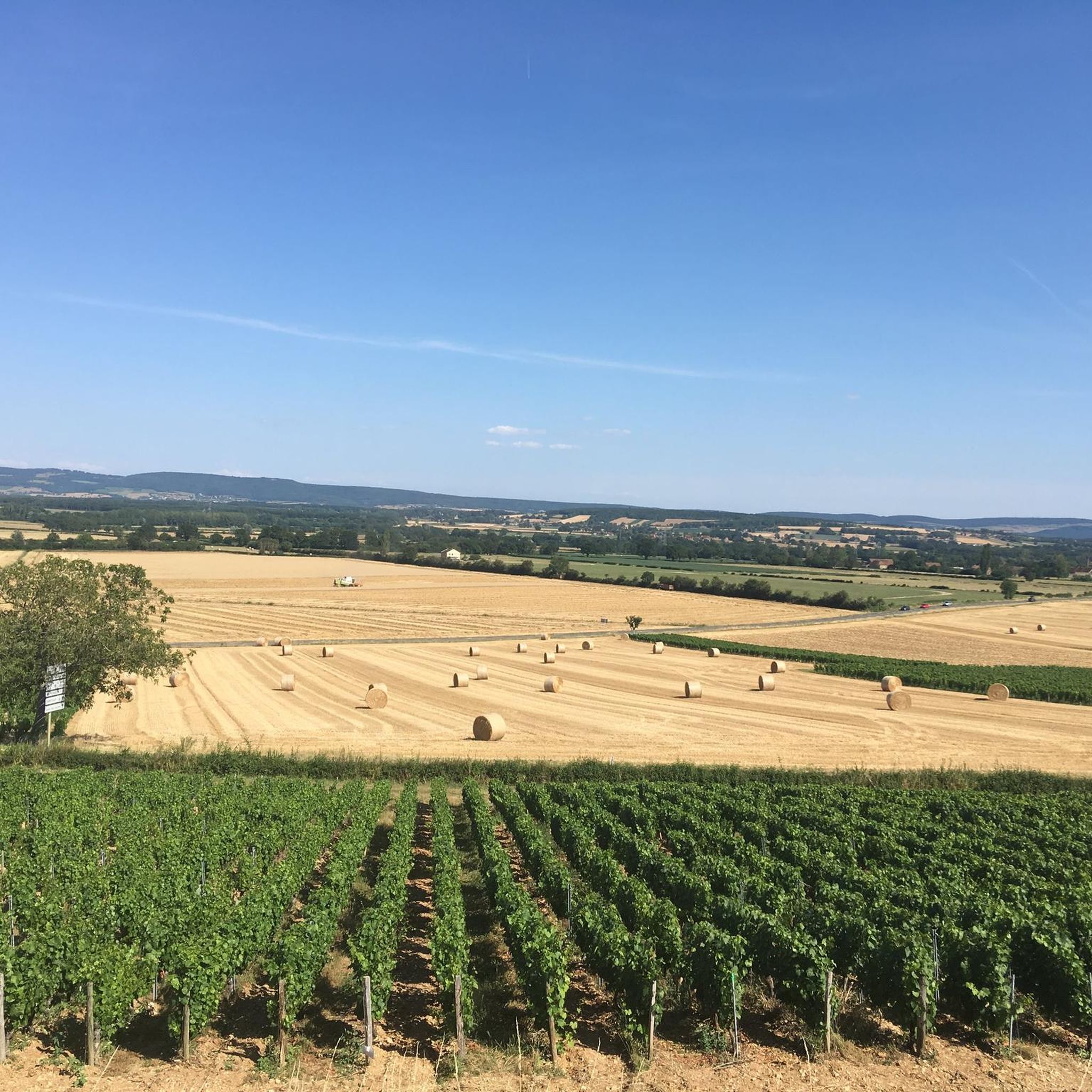
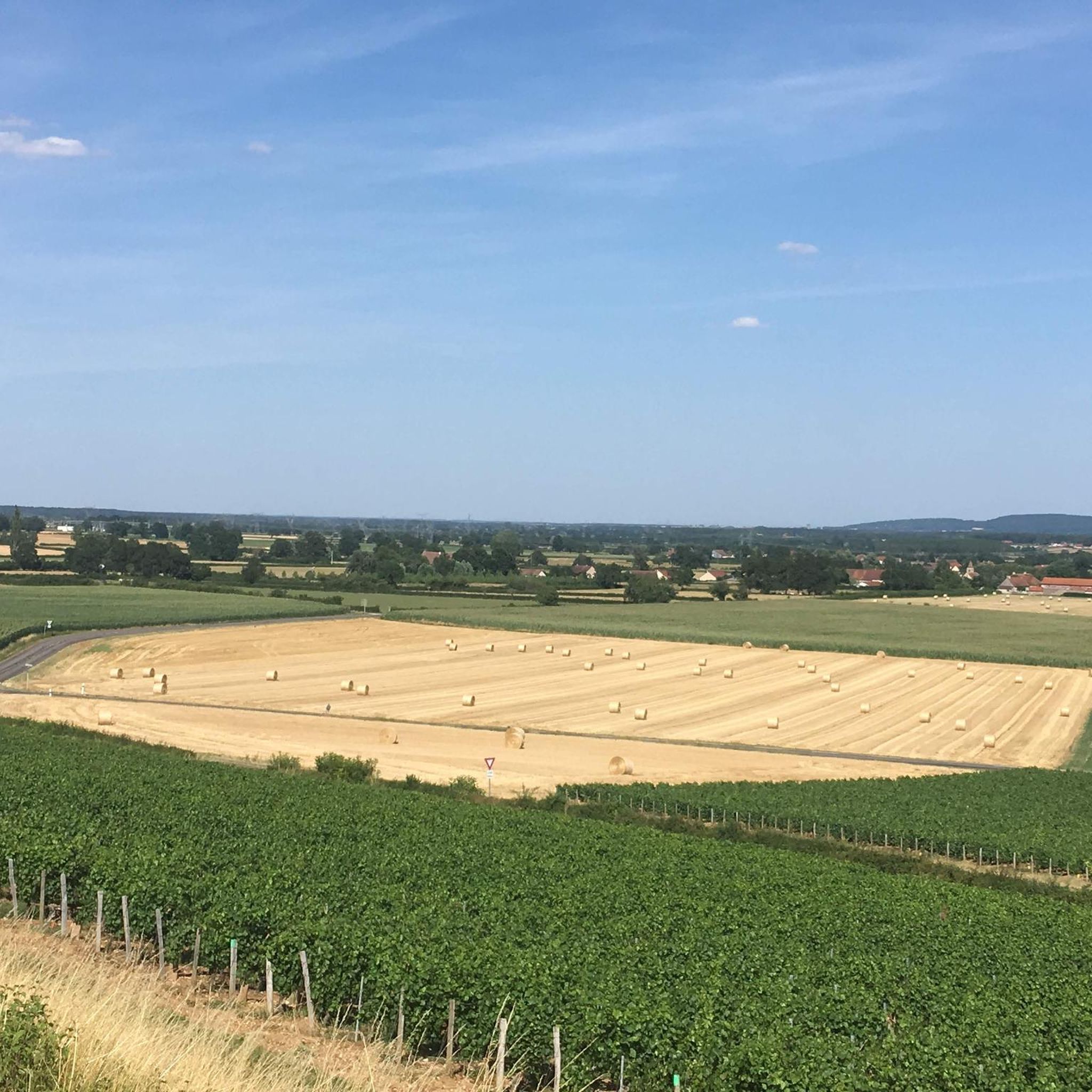
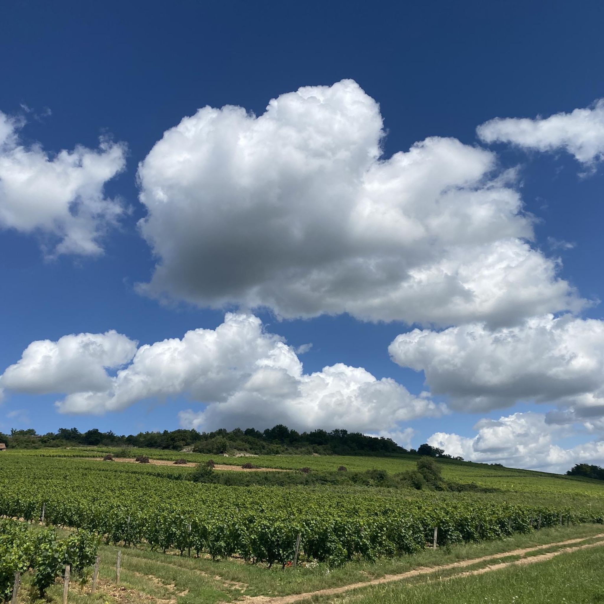
Hiking around Santilly reveals a landscape characterized by rolling hills, historical landmarks, and rural paths. The region features varied terrain, including ascents around points like Mont Péjus and routes that pass by ancient structures such as Sercy Castle and historic washhouses. These trails offer opportunities to explore the area's natural beauty and cultural heritage.
Best hiking trails around Santilly
- The most popular hiking route is Saint-Gengoux-le-National and Sercy Castle Loop, a 4.4 miles (7.1 km) trail that takes 1…
Last updated: November 5, 2026
4.4
(9)
31
hikers
7.05km
01:54
90m
90m
Easy hike. Easily walkable paths.
5.0
(2)
16
hikers
Moderate hike. Good fitness required. Easily walkable paths.

4.8
(9)
28
hikers
Moderate hike. Good fitness required. Easily walkable paths.
4.6
(5)
26
hikers
Moderate hike. Good fitness required. Easily walkable paths.
4.0
(2)
17
hikers
Moderate hike. Good fitness required. Easily walkable paths.
Get access to more routes and recommendations from other explorers.
Already have an account?
Our route recommendations are based on thousands of hikes, rides, and runs completed by other people on komoot.
Start today with a free account
Your next adventure awaits.

Tips from the Community

Enjoy this viewpoint to admire the Crainseny viaduct, which spans the valley of the same name. Built at the end of the 19th century, this 246-meter-long railway structure has 16 stone arches. It once allowed trains to connect Saint-Gengoux-le-National to Montchanin, until the line ceased operation in 1969.
0
0
Discovered in 1971, this former limestone quarry was exploited as early as the 1st century AD. It housed a sculpture workshop where, among other things, funerary steles and ex-votos were created. The site still preserves traces of the stone extraction and carving techniques used at the time. The quarry has been classified as a historical monument since 1973.
0
0

The Viaduc de Crainseny (French: Viaduc de Crainseny) is a historic railway bridge in the south of the Côte Chalonnaise region. The viaduct was built in 1882. It has a total length of 246 meters, spans the valley at a height of around 23 meters, and features a striking curve with a radius of 400 meters. The masonry bridge consists of 16 elegant semicircular arches, each with a span of 12 meters. Originally, the railway ran here on the Étiveau-Montchanin line, connecting the towns of Saint-Gengoux-le-National and Montchanin. Train traffic was discontinued in 1969.
0
0
The imposing church was originally built in the 12th century by the monks of the Abbey of Cluny. It officially belongs to the Cluniac sites and is on the candidate list for UNESCO World Heritage. The building combines different architectural eras. While the striking transept and the octagonal bell tower date from the Romanesque era, the three-aisled choir visible in the background shows Gothic features. A central eye-catcher in the sanctuary is the large, colorful neo-Gothic church window, which casts a soft light into the elongated interior. Along the mighty pillars of the nave, detailed sculptures and reliefs on the capitals can be seen in the foreground.
0
0

A very beautiful piece of work, a testament to the local railway era.
1
0


Very beautiful little town with all services and shops.
0
0
Superb little town, all shops and services.
2
0
Frequently Asked Questions
What kind of terrain can I expect when hiking around Santilly?
Hiking around Santilly features a landscape of rolling hills, historical landmarks, and rural paths. You'll find varied terrain, including gentle ascents around points like Mont Péjus and routes that pass through woodlands and open spaces.
How many hiking trails are available in Santilly?
There are over 120 hiking trails in Santilly, offering a wide range of options for different skill levels and preferences. This includes 44 easy routes, 70 moderate routes, and 7 more challenging trails.
Are there any easy, family-friendly hikes in Santilly?
Yes, Santilly offers several easy routes suitable for families. For instance, the Saint-Gengoux-le-National and Sercy Castle Loop is an easy 4.4-mile (7.1 km) trail with gentle elevation changes, perfect for a leisurely outing.
What historical landmarks or attractions can I see along the trails in Santilly?
Santilly's trails are rich with historical sites. You can explore ancient structures like Sercy Castle, pass by historic washhouses, or discover a Roman oppidum on routes such as Around Mont Péjus and the Roman oppidum. Other notable attractions include Cormatin Castle and the historic village of Saint-Gengoux-le-National.
Are there any circular hiking routes in Santilly?
Many of the trails in Santilly are designed as loops, allowing you to start and end at the same point. Examples include the Saint-Gengoux-le-National and Sercy Castle Loop and the Old wine press loop from Saint-Gengoux-le-National.
What is the best time of year to go hiking in Santilly?
Santilly generally offers a moderate climate, making hiking enjoyable year-round. However, spring and autumn often provide the most pleasant temperatures and beautiful scenery with blooming wildflowers or vibrant fall foliage.
What do other hikers enjoy most about hiking in Santilly?
The area is highly rated by the komoot community, with an average score of 4.4 stars from over 200 reviews. Hikers often praise the region's blend of historical sites, gentle hills, and peaceful rural pathways, offering a rewarding experience for various ability levels.
Are there any longer, more challenging hikes in Santilly?
While many routes are easy to moderate, Santilly does offer some longer options. For example, the La lavoir The washhouse – Historic Washhouse loop from Saint-Gengoux-le-National is a moderate 9.2-mile (14.8 km) trail that takes about 4 hours 14 minutes to complete, offering a more extended exploration of the rural landscapes.
Can I find trails that explore the natural features of Santilly?
Absolutely. Many trails wind through the natural beauty of Santilly, characterized by wooded areas and open spaces. Routes like Around Mont Péjus and the Roman oppidum offer views of the landscape, including ascents around Mont Péjus.
What is the typical elevation gain on hikes in Santilly?
The elevation gain varies depending on the trail. Many easy routes feature gentle changes, such as the Saint-Gengoux-le-National and Sercy Castle Loop with around 90 meters of ascent. Moderate trails, like the La lavoir The washhouse – Historic Washhouse loop, can have over 350 meters of elevation gain, providing more of a workout.
Are there specific points of interest related to local history on the trails?
Yes, Santilly's trails are dotted with historical points of interest. Beyond castles, you can find routes that specifically highlight local heritage, such as the La lavoir The washhouse – Saint-Gengoux-le-National loop, which passes by a historic washhouse, offering a glimpse into the region's past.
Most popular attractions around Santilly

Get inspired with the komoot mobile app


Explore more
Browse the best Hikes in other regions.
