The best road cycling routes around Adelmannsfelden
4.7
(283)
3,824
riders
15
rides
Road cycling around Adelmannsfelden offers diverse terrain within the picturesque hilly landscape of the Swabian Forest. The region is characterized by dense forests, picturesque valleys, and quaint villages, providing a dynamic riding experience with varied gradients. Cyclists can expect routes that wind through undulating terrain, featuring both challenging ascents and scenic descents. The area's topography within the Ostalbkreis district provides a mix of elevations suitable for road cycling.
Best road cycling routes around Adelmannsfelden
- The most popular road cycling route…
Last updated: October 7, 2026
5.0
(3)
26
riders
34.9km
01:31
260m
260m
Easy road ride. Great for any fitness level. Mostly well-paved surfaces and easy to ride.
6
riders
Hard road ride. Very good fitness required. Mostly well-paved surfaces and easy to ride.

4
riders
49.9km
02:20
590m
580m
Moderate road ride. Good fitness required. Mostly well-paved surfaces and easy to ride.
4.0
(1)
81
riders
Moderate road ride. Good fitness required. Some segments of this route may be unpaved and difficult to ride.
5.0
(4)
15
riders
27.6km
01:16
280m
280m
Easy road ride. Great for any fitness level. Mostly well-paved surfaces and easy to ride.
Get access to more routes and recommendations from other explorers.
Already have an account?
Our route recommendations are based on thousands of hikes, rides, and runs completed by other people on komoot.
Start today with a free account
Your next adventure awaits.

Tips from the Community

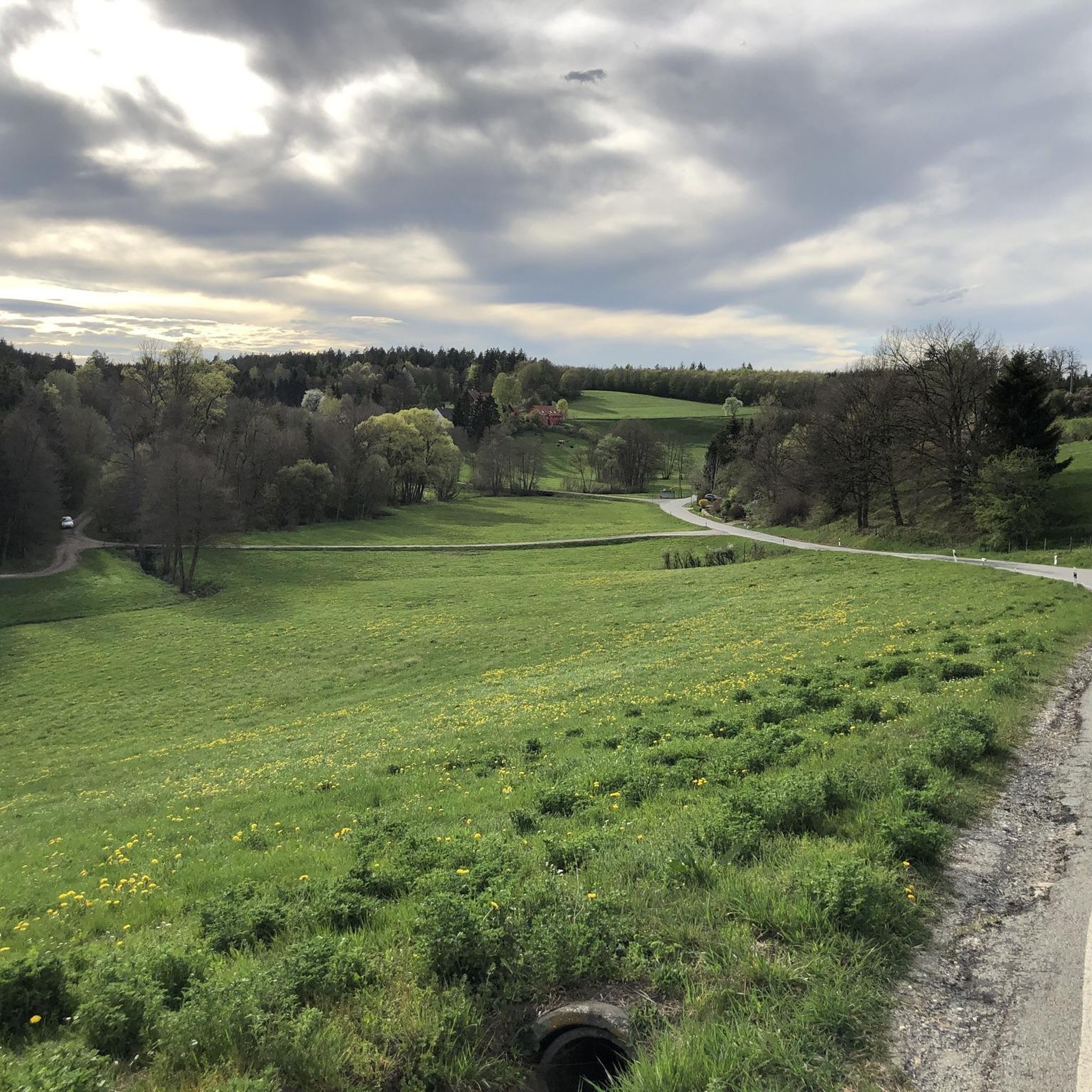
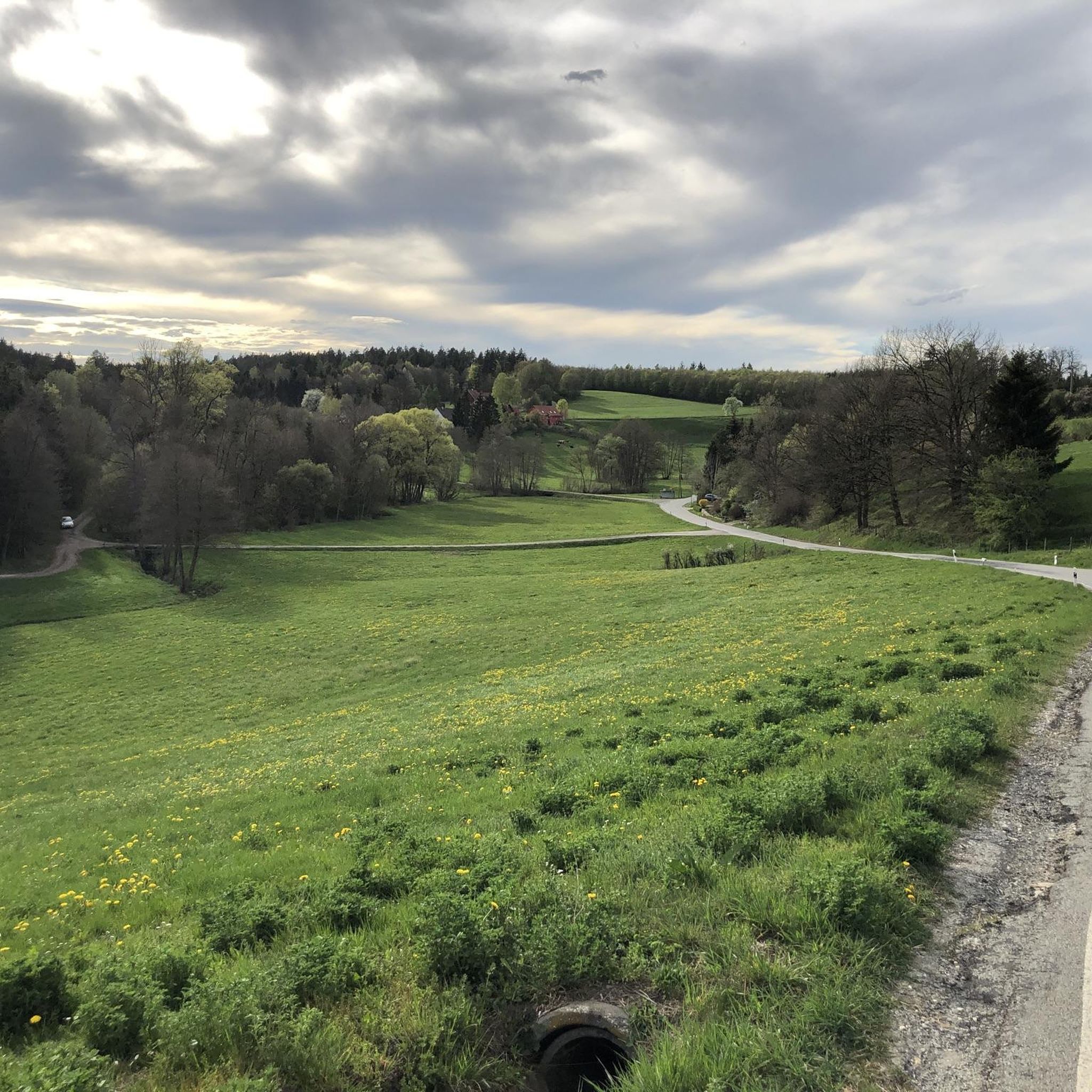
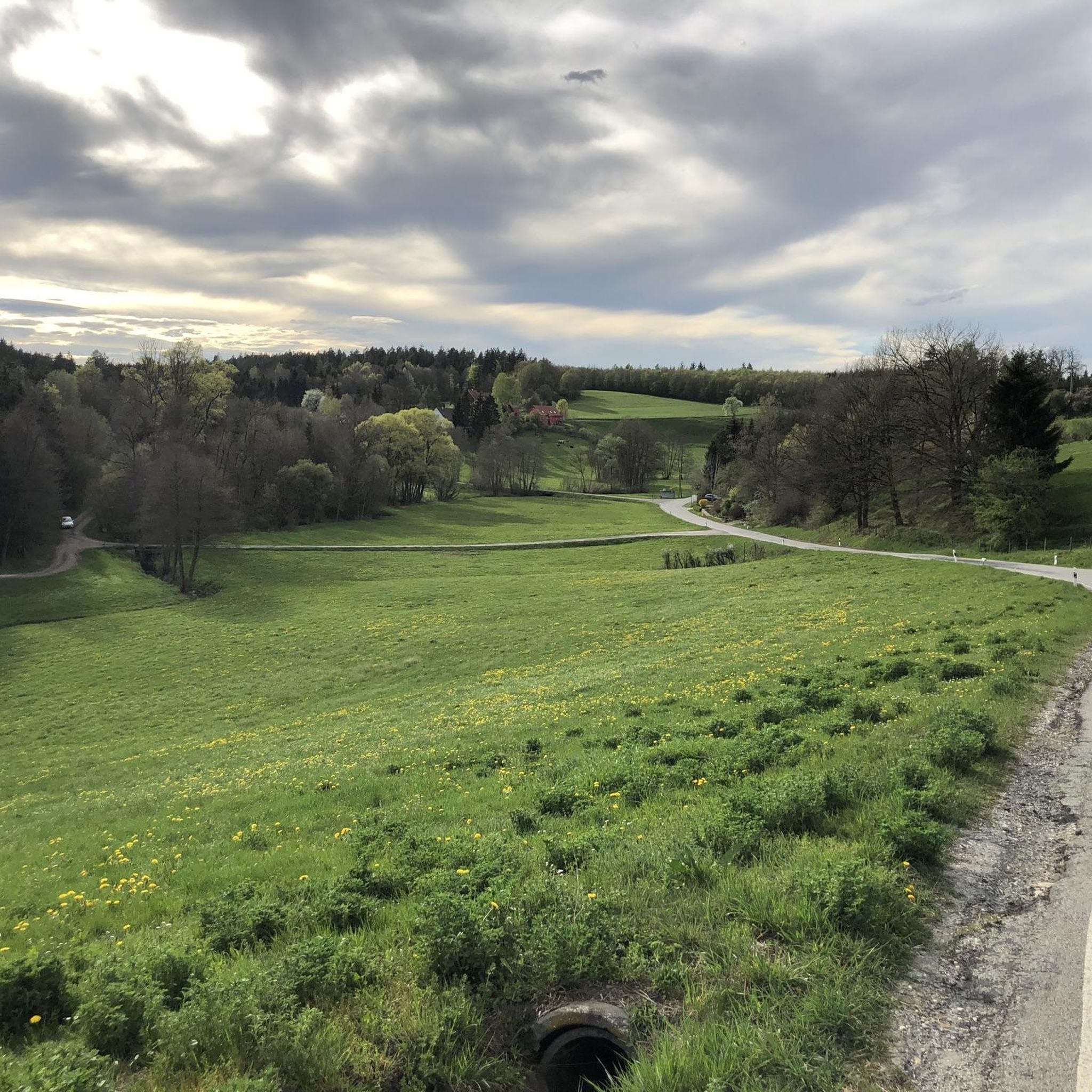
A beautiful valley leading to the Kocher. Kilometers long and it looks like a fairytale forest
0
0

Thanks to the initiative of Sieger Köder and intensive research, a Way of St. James has been reconstructed over the Hohenberg. The neo-Romanesque church dates back to a 12th-century Benedictine priory and is richly decorated with artworks by the painter and pastor Sieger Köder. Next to the Köder is the Pilgrim House with an inn on the garden level.
0
0

🔍 Special feature for railway fans The 23 105 proudly bears a sign with the inscription: „I am the last steam locomotive built for the Deutsche Bundesbahn.“
1
0
🚂 The steam locomotive 23 105 is a very special technical rarity: It is the last steam locomotive that was officially put into service by the German Federal Railway (DB).
2
0
🏰Wasseralfingen Castle is one of the oldest and most historically significant buildings in the Wasseralfingen district of Aalen. It is picturesquely situated near the Kocher River and looks back on a history spanning over 675 years.
1
0

Beautiful view of the Kocher Valley towards Westheim
1
0

The three-aisled church "St. Michael's" in Abtsgmünd. Built as a neo-Gothic basilica with a late Romanesque tower basement.
2
0

Frequently Asked Questions
What is the general terrain like for road cycling around Adelmannsfelden?
The region around Adelmannsfelden is characterized by a picturesque hilly landscape within the Swabian Forest. You can expect a dynamic riding experience with varied gradients, featuring both challenging ascents and scenic descents through dense forests, picturesque valleys, and quaint villages. The terrain offers a 'constant up and down' with sometimes short but steep crests.
How many road cycling routes are available in Adelmannsfelden?
There are over 200 road cycling routes available around Adelmannsfelden, catering to various ability levels from easy to difficult. The komoot community has highly rated these routes, with an average score of 4.6 stars from over 9 reviews.
Are there easy road cycling routes suitable for beginners or those seeking a more relaxed ride?
Yes, Adelmannsfelden offers 32 easy road cycling routes. An example of a more gentle experience is the Sauerberg – Scenic Road in Bühleral loop from Adelmannsfelden, an easy 34.2 km (21.2 miles) path that takes you through scenic roads and valleys.
What kind of challenging routes are available for experienced road cyclists?
For experienced cyclists, there are 19 difficult routes and 162 moderate routes. A challenging option is the View of Hohenstadt – Gaildorf — Old Town and Castle loop from Hinterbüchelberg, which is 83.9 km (52.1 miles) long and features significant elevation gain through varied landscapes.
What natural features and landmarks can I expect to see along the road cycling routes?
Road cycling routes often wind through dense forests, picturesque valleys, and past natural features like the Hammerschmiedesee. You might also encounter views of the Kaiserbergen from elevated points. Notable landmarks include the Orrotsee, the View of Niederalfingen Castle, and the historic Marktplatz and Basilica of St. Vitus, Ellwangen.
Are there any routes that offer panoramic views?
Yes, the hilly topography of the region means many routes offer scenic vistas. The Altenbergturm, the highest point in the Schwäbisch Hall district, provides panoramic views from its 600-meter-high platform and could be a destination or a viewpoint along a longer ride.
When is the best time of year for road cycling in Adelmannsfelden?
The region is generally favorable for road cycling during the warmer months. The 'constant up and down' terrain is enjoyable when conditions are dry. While specific seasonal data isn't provided, spring through autumn typically offers the best weather for exploring the dense forests and picturesque valleys.
Is parking available for cyclists in Adelmannsfelden?
Yes, Adelmannsfelden is well-equipped for outdoor activities. Places like the Golf- und Freizeitzentrum Grafenhof serve as starting points for tours, suggesting parking facilities are available for visitors and cyclists.
Are there any circular road cycling routes in the area?
Yes, many of the routes around Adelmannsfelden are designed as loops. Examples include the Comburg Abbey – Einkorn Climb loop from Pommertsweiler and the St. James' Church Hohenberg – Hammerschmiede Lake loop from Grafenhof, allowing you to start and end at the same point.
What cultural attractions can I visit during a road cycling trip?
Beyond natural beauty, you can explore cultural highlights such as Adelmannsfelden Castle, St. George's Church with its baroque architecture, and the historic Market Square. For a longer ride, the UNESCO World Heritage site Limesmuseum in Aalen is also nearby.
What is the typical distance of road cycling routes in Adelmannsfelden?
The routes vary significantly in distance. For example, the View of Hohenstadt – Rötenbachtal loop from Adelmannsfelden is 27.3 km (17 miles), while the View of Hohenstadt – Gaildorf — Old Town and Castle loop from Hinterbüchelberg extends to 83.9 km (52.1 miles), offering options for different endurance levels.
Most popular routes around Adelmannsfelden
Most popular attractions around Adelmannsfelden

Get inspired with the komoot mobile app


Explore more
Browse the best Road cycling routes in other regions.
