The best road cycling routes around Collonge-En-Charollais
4.8
(18)
441
riders
69
rides
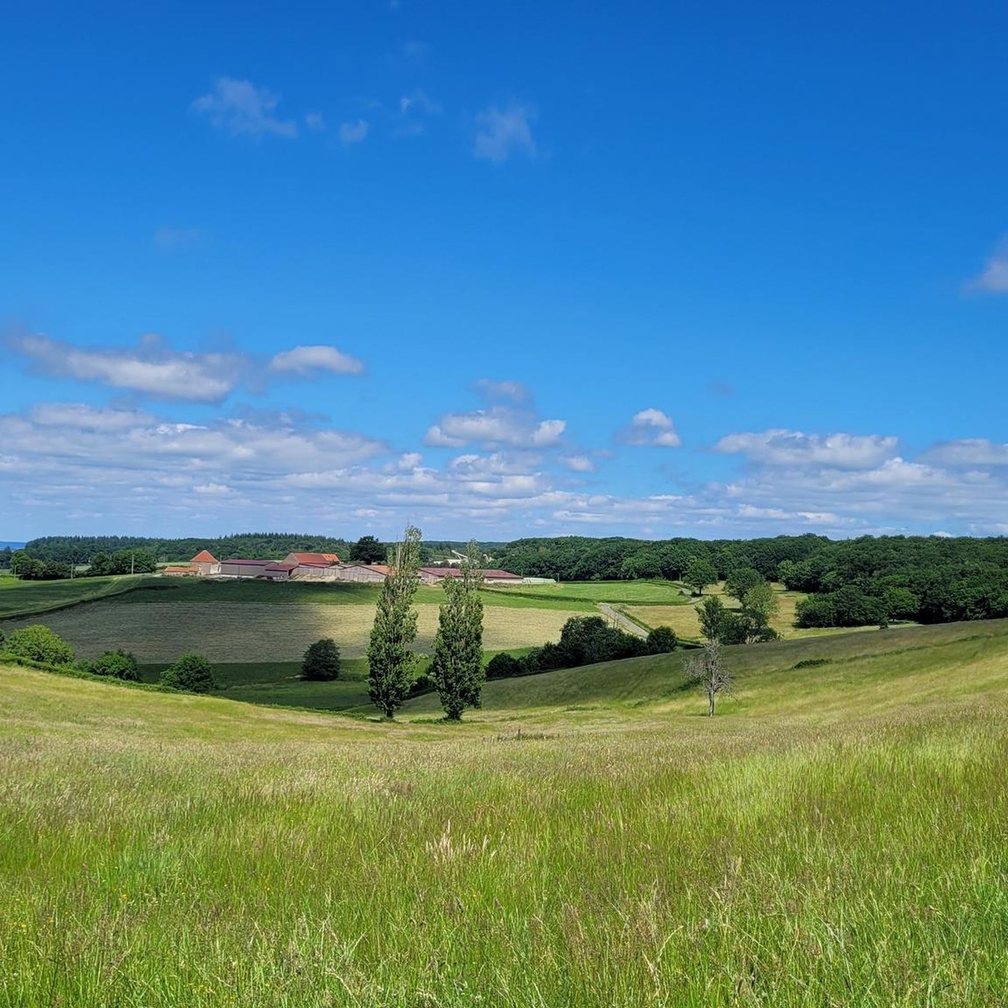
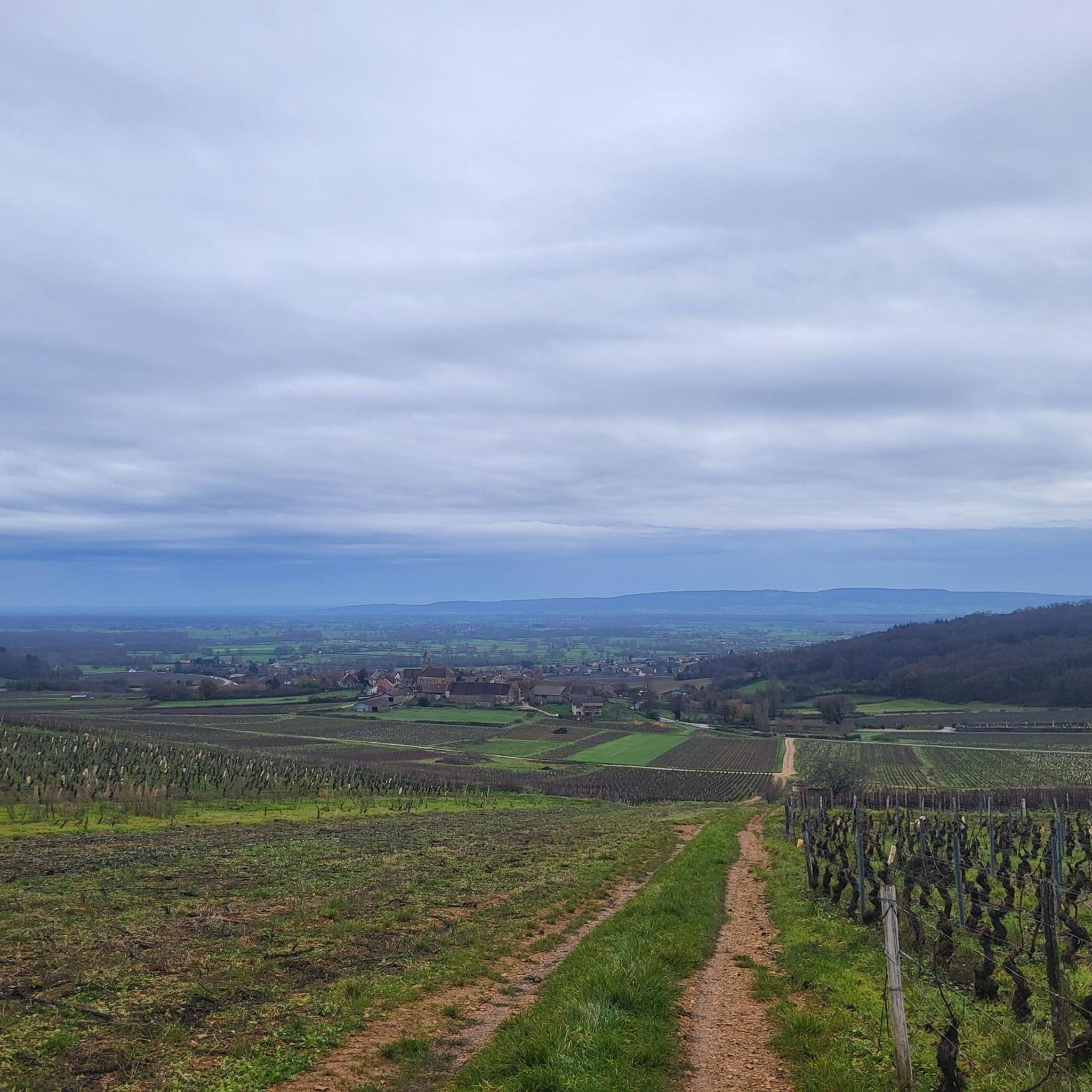
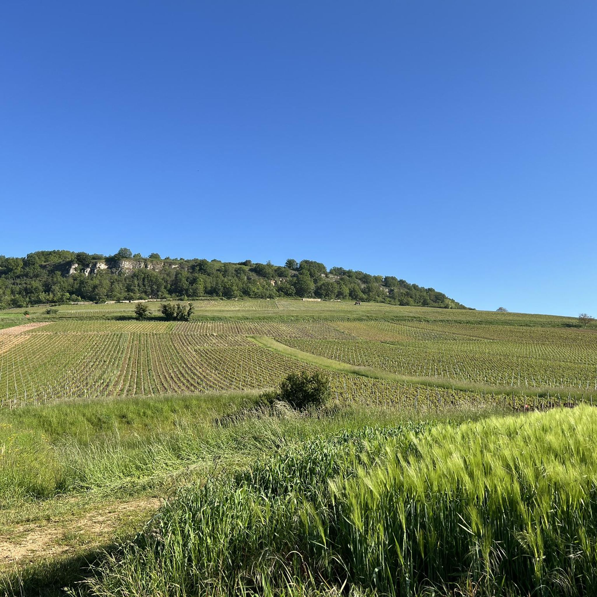
Road cycling routes around Collonge-En-Charollais traverse a diverse landscape in Saône-et-Loire, Bourgogne-Franche-Comté. The region features altitudes ranging from 233 to 489 meters, providing significant elevation changes for cyclists. Approximately 70% of the area is covered by forests, offering varied routes through natural settings. The terrain includes bocage, limestone plateaus, and a valley carved by the Laveau stream, with the prominent Mont Saint-Vincent contributing to scenic views.
Best road cycling routes around Collonge-En-Charollais
- The most popular road cycling route is Cycle…
Last updated: May 26, 2026
23
riders
71.3km
03:20
800m
800m
Moderate road ride. Good fitness required. Mostly well-paved surfaces and easy to ride.
4.0
(1)
16
riders
43.7km
02:06
570m
570m
Moderate road ride. Good fitness required. Mostly well-paved surfaces and easy to ride.

Sign up for free
5.0
(1)
9
riders
92.0km
04:20
1,140m
1,140m
Hard road ride. Very good fitness required. Mostly well-paved surfaces and easy to ride.
12
riders
Moderate road ride. Good fitness required. Mostly well-paved surfaces and easy to ride.
10
riders
28.8km
01:25
460m
460m
Moderate road ride. Good fitness required. Mostly well-paved surfaces and easy to ride.
Get access to more routes and recommendations from other explorers.
Sign up for free
Already have an account?
Our route recommendations are based on thousands of hikes, rides, and runs completed by other people on komoot.
Start today with a free account
Your next adventure awaits.
Login or Signup

Tips from the Community

It was built in 1825 by Lazare Narjoux and served the grain trade.
1
0

This small 15th-century castle, built of brick, has not undergone any restoration. In the 18th century, it still had a rectangular enclosure with four towers. Only a main residential building remains between two large square towers topped with high hipped roofs. The larger of the two towers features elegant mullioned windows. Some bays have retained medieval wrought-iron grilles.
0
0

Montceau-les-Mines, a former mining town in Saône-et-Loire, blends industrial heritage, a dynamic cultural life, a marina on the Canal du Centre and green spaces around the Lac du Plessis.
0
0

Toilet on site, water point, the best!
1
0
Perfect for taking a short break, water point nearby
0
0

very beautiful in summer you can see Mont Blanc when the sky is clear.
0
0

Reminiscence of Henri IV. Interesting exhibitions today.
0
0

To see Burgundy from 610m altitude.
0
0
Frequently Asked Questions
What kind of terrain can I expect when road cycling in Collonge-en-Charollais?
Collonge-en-Charollais offers a diverse and engaging terrain for road cyclists. You'll encounter significant elevation changes, with altitudes ranging from 233 to 489 meters. The landscape features extensive forests, traditional bocage (hedgerow-lined fields), and limestone plateaus. The region is also characterized by valleys carved by streams like the Laveau, and the prominent Mont Saint-Vincent, which provides scenic viewpoints.
Are there road cycling routes suitable for beginners in Collonge-en-Charollais?
While the region is known for its significant elevation changes, there are options for various ability levels. Out of 68 total road cycling routes, 3 are classified as easy, and 55 are moderate. This means beginners can find suitable paths, though many routes will offer a good challenge.
What natural attractions can I see while road cycling in the area?
Beyond the general scenic beauty of forests and valleys, the region boasts unique geological features. You might encounter the 'Mer de Pierres' (Sea of Stones), a fascinating accumulation of sandstone blocks. The area's diverse geology, including limestone hills and granitic zones, contributes to varied and interesting natural landscapes along the routes.
Are there any historical or cultural landmarks accessible by road bike?
Yes, the region offers several points of interest. You can cycle past the historic Saint-Etienne church, with Romanesque foundations, or the Monument de Maranges. For those on longer rides, nearby attractions like the La Serrée Castle and Château Pontus de Tyard are within reasonable cycling distance, offering cultural stops.
What do other road cyclists enjoy most about the routes in Collonge-en-Charollais?
The road cycling routes in Collonge-en-Charollais are highly rated by the komoot community, with an average score of 4.8 stars from over 20 reviews. Cyclists often praise the varied terrain, the challenge of the elevation changes, and the immersion in nature provided by the extensive forests and picturesque rural landscapes.
Are there any challenging climbs for experienced road cyclists?
Absolutely. The region's 'dénivelé important' (significant elevation changes) and the presence of Mont Saint-Vincent mean there are plenty of challenging climbs. For instance, the difficult Saint-Gengoux-le-National – Saint-Mard-de-Vaux Hill loop from Mont-Saint-Vincent features over 1100 meters of elevation gain, providing a substantial test for experienced riders.
Can I find circular road cycling routes in Collonge-en-Charollais?
Yes, many of the road cycling routes in Collonge-en-Charollais are designed as loops, allowing you to start and finish at the same point. An example is the moderate Saint-Gengoux-le-National – Pontus de Tyard Castle loop from Collonge-en-Charollais, which offers a scenic circular ride.
What is the best time of year for road cycling in Collonge-en-Charollais?
While specific seasonal conditions can vary, the diverse terrain and natural beauty of Collonge-en-Charollais make it enjoyable for road cycling across multiple seasons. Spring and autumn generally offer pleasant temperatures and vibrant landscapes, while summer can be excellent for longer rides, though it's always wise to check local weather forecasts.
Are there any facilities like drinking water points along the routes?
The municipality of Collonge-en-Charollais is notable for its numerous water points, including 36 wells, 6 fountains, and 13 springs. While not all may be directly on every cycling route, the presence of an Accessible Drinking Water Fountain in Saint-Gengoux-le-National suggests that finding water sources is possible, especially in or near villages.
How many road cycling routes are available around Collonge-en-Charollais?
There are over 60 road cycling routes available around Collonge-en-Charollais. This includes a variety of difficulties, with 3 easy, 55 moderate, and 10 difficult routes, ensuring options for every skill level.
What is a good moderate-difficulty road cycling route to explore the region?
A popular moderate route is the Saint-Gengoux-le-National – Buxy Station loop from Mont-Saint-Vincent. This 71.3 km path features significant elevation gain around Mont-Saint-Vincent, offering a rewarding experience without being overly strenuous for intermediate cyclists.
Most popular routes around Collonge-En-Charollais
Most popular attractions around Collonge-En-Charollais

Get inspired with the komoot mobile app


Explore more
Browse the best Road cycling routes in other regions.
