The best running trails around Mary
4.8
(7)
222
runners
41
runs
Jogging routes around Mary offer a diverse landscape for runners, characterized by its mixed woodlands and tranquil ponds. The region features a network of trails that wind through natural areas, providing varied terrain for different fitness levels. These routes often include sections through forests and past water bodies, making for a varied running experience.
Best jogging routes around Mary
- The most popular jogging route is Bois Communal de Châtelaine loop from Mont-Saint-Vincent, a 8.0 miles (12.8 km) trail that…
Last updated: May 23, 2026
15
runners
12.8km
01:34
260m
250m
Moderate run. Good fitness required. Mostly paved surfaces. Suitable for all skill levels.
11
runners
14.4km
01:41
350m
350m
Hard run. Very good fitness required. Mostly paved surfaces. Suitable for all skill levels.

Sign up for free
10
runners
26.1km
03:08
640m
640m
Hard run. Very good fitness required. Mostly paved surfaces. Suitable for all skill levels.
5.0
(1)
7
runners
22.6km
02:43
580m
580m
Hard run. Very good fitness required. Mostly paved surfaces. Suitable for all skill levels.
5.0
(1)
6
runners
18.8km
02:17
480m
480m
Hard run. Very good fitness required. Mostly paved surfaces. Suitable for all skill levels.
Get access to more routes and recommendations from other explorers.
Sign up for free
Already have an account?
Our route recommendations are based on thousands of hikes, rides, and runs completed by other people on komoot.
Start today with a free account
Your next adventure awaits.
Login or Signup

Frequently Asked Questions
How many running routes are available in the Mary area?
The Mary area offers a diverse selection of over 35 running routes. These routes cater to various fitness levels, with a mix of moderate and challenging trails through woodlands and around tranquil ponds.
Are there any easy running routes for beginners in Mary?
While many routes in Mary are rated moderate to difficult, the region's diverse terrain, particularly in areas like St. Mary's County, Maryland, offers some accessible options. Look for trails within local parks that might feature paved or less challenging unpaved pathways suitable for beginners. Always check the route details for elevation changes before heading out.
Can I find circular jogging routes in Mary?
Yes, many of the running routes in Mary are designed as loops, offering a complete circular experience. For example, the Bois Communal de Châtelaine loop from Mont-Saint-Vincent is a popular 8-mile circular trail through wooded areas. Another option is the Étang de Serles – Étang Guillot loop from Gourdon, which offers scenic views around ponds.
What kind of scenery can I expect on the running trails around Mary?
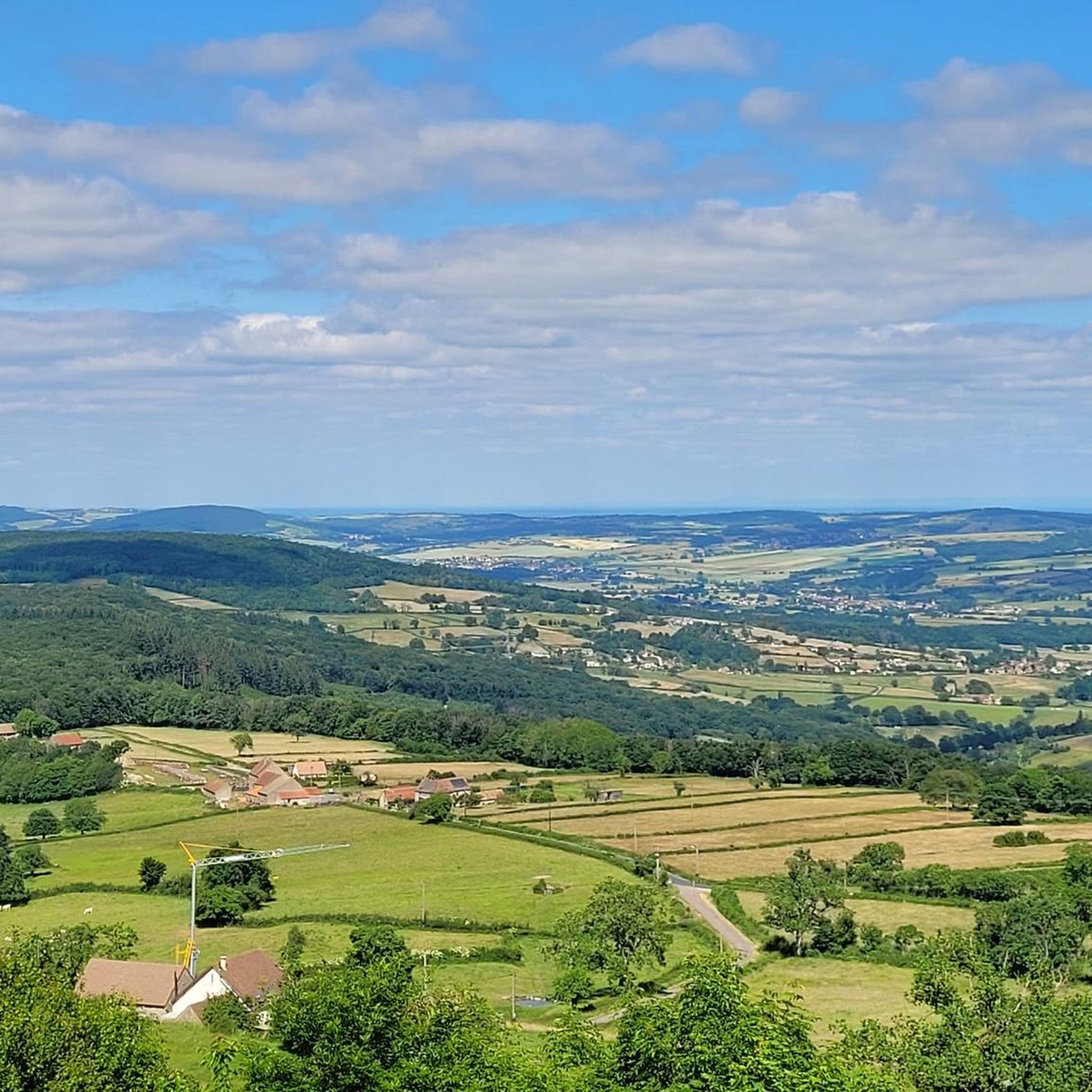
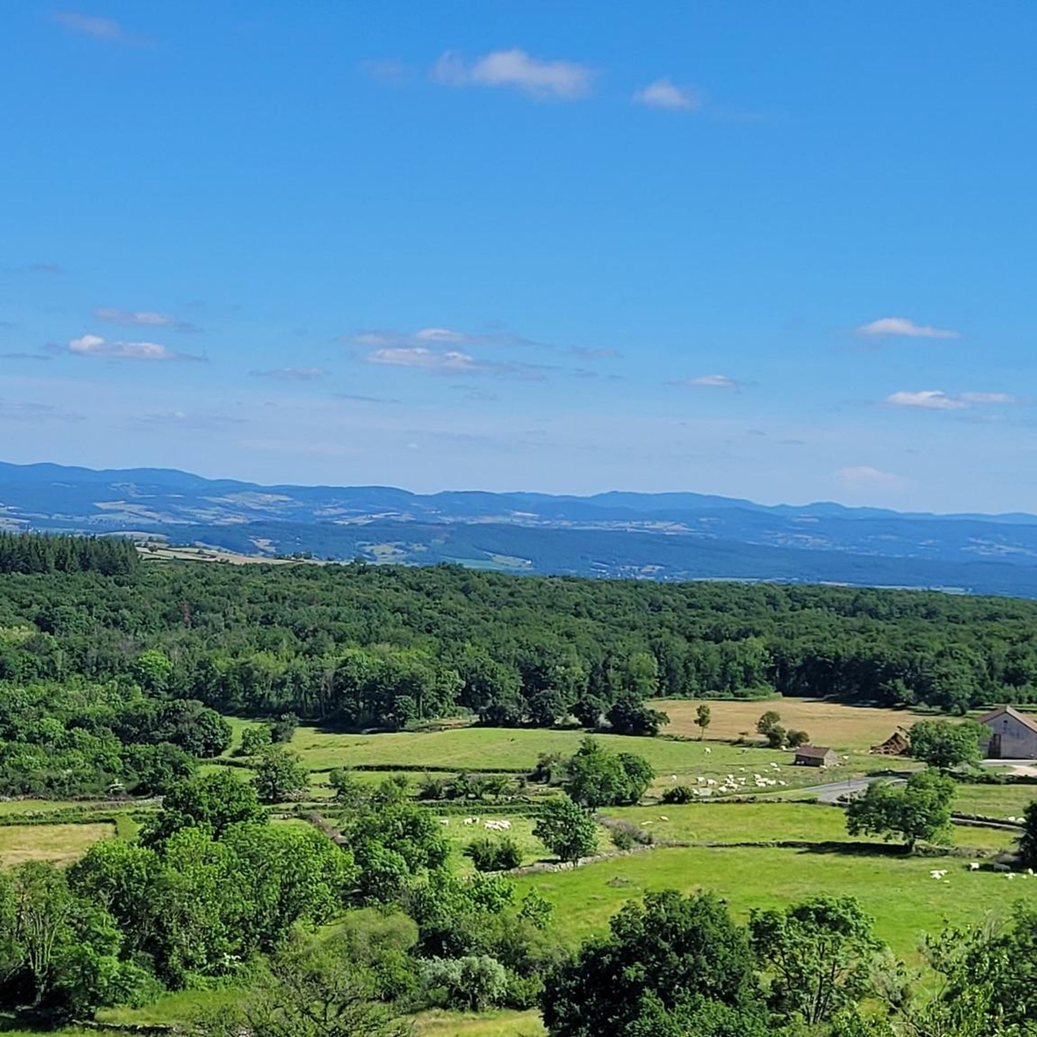
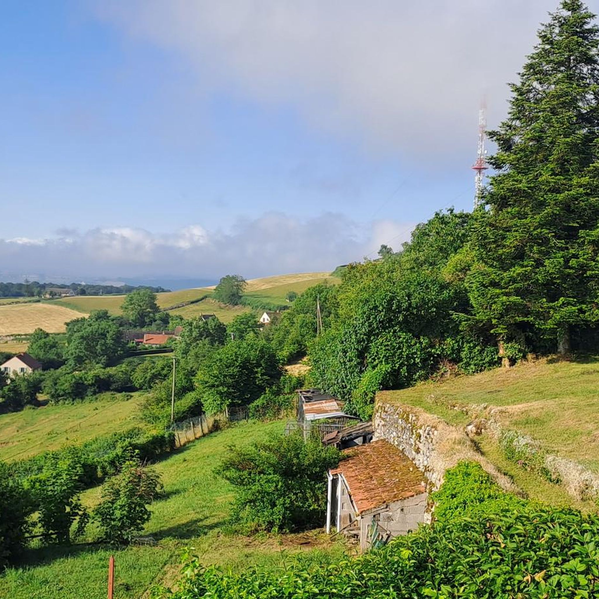
Running routes in Mary offer varied scenery, characterized by communal woods, serene ponds, and diverse ecosystems. You'll often find yourself jogging through mixed hardwoods and dense forests, with opportunities to enjoy views of waterways and natural landscapes. Some trails, particularly in areas like St. Mary's County, Maryland, also feature historical sites and waterfront paths.
Are there any dog-friendly running trails in Mary?
Many natural trails in the Mary area, especially those in parks and natural resource areas, are generally dog-friendly. However, it's always best to check specific park regulations or route descriptions for any restrictions, and ensure your dog is on a leash. Respect local wildlife and other trail users.
What are some scenic viewpoints or landmarks I can see while running in Mary?
The Mary area offers several scenic points of interest. You can enjoy panoramic views from trails like the View from Mont Saint-Cyr loop from Gourdon. Additionally, the region features historical landmarks such as La Serrée Castle and Pontus de Tyard Castle, which can be explored near some routes. The Views of the Savigny-sur-Grosne area also provide picturesque backdrops for your run.
What do other runners say about the trails in Mary?
The running routes in Mary are highly rated by the komoot community, with an average score of 4.8 stars from over 7 reviews. Runners often praise the varied terrain, the tranquility of the woodlands, and the scenic beauty of the ponds and natural areas. Over 260 runners have used komoot to explore Mary's diverse trails.
Are there any running routes in Mary that are accessible by public transport?
While specific public transport access varies by route, many parks and trailheads in the broader region of St. Mary's County, Maryland, are often reachable by local transit services. It's recommended to check local bus schedules and routes for specific trail starting points. For routes like those starting from Gourdon or Mont-Saint-Vincent, personal transport might be more convenient.
What is the best time of year for running in Mary?
The diverse terrain and climate of the region, similar to Maryland, make it suitable for year-round outdoor activities. Spring and autumn offer pleasant temperatures and vibrant scenery, while summer can be enjoyed on shaded trails. Winter running is also possible, though conditions may vary, so always check local weather forecasts.
Are there any longer, more challenging running routes for experienced runners?
Yes, for experienced runners seeking a challenge, Mary offers several difficult routes with significant elevation changes. The Étang de Serles – Étang de Laguche loop from Gourdon is a substantial 16-mile trail leading through a landscape of ponds and forests, often completed in about 3 hours. Another challenging option is the Étang de Serles – Le Bouchot loop from Mary, a 14-mile route with considerable elevation.
Are there any wheelchair-accessible running paths in Mary?
While many natural trails in Mary feature varied terrain, some parks and recreational areas, particularly in St. Mary's County, Maryland, offer accessible trails and facilities. These often include paved pathways or boardwalks designed for easier access. It's advisable to check specific park websites or route descriptions for accessibility information.
Most popular attractions around Mary

Get inspired with the komoot mobile app


Explore more
Browse the best Running Trails & Routes in other regions.
