The best running trails around Montauban-De-Picardie
4.6
(31)
1,020
runners
88
runs
Jogging routes around Montauban-De-Picardie are situated in the Somme department, characterized by the landscapes of Picardy. The area features a network of local roads and paths that connect to historical sites and traverse the surrounding countryside. While the commune itself is small, the wider Somme department offers diverse landscapes for outdoor activities, including forests and rivers. The terrain is generally gentle, with modest elevation changes suitable for running.
Best jogging routes around Montauban-De-Picardie
- The most popular jogging route is Lochnagar…
Last updated: October 3, 2026
3
runners
10.1km
01:05
80m
80m
Jog this 6.3-mile (10.1 km) moderate loop from La Boisselle to explore the historic Lochnagar Crater and Fricourt German Military Cemetery.
7
runners
9.35km
01:06
80m
80m
Hard run. Good fitness required. Sure-footedness, sturdy shoes and alpine experience required.

5.0
(1)
5
runners
14.8km
01:32
110m
100m
Moderate run. Good fitness required. Mostly paved surfaces. Suitable for all skill levels.
3
runners
7.70km
00:50
70m
70m
Moderate run. Good fitness required. Mostly paved surfaces. Suitable for all skill levels.
5
runners
11.9km
01:17
110m
110m
Moderate run. Good fitness required. Mostly paved surfaces. Suitable for all skill levels.
Get access to more routes and recommendations from other explorers.
Already have an account?
Our route recommendations are based on thousands of hikes, rides, and runs completed by other people on komoot.
Start today with a free account
Your next adventure awaits.


Tips from the Community

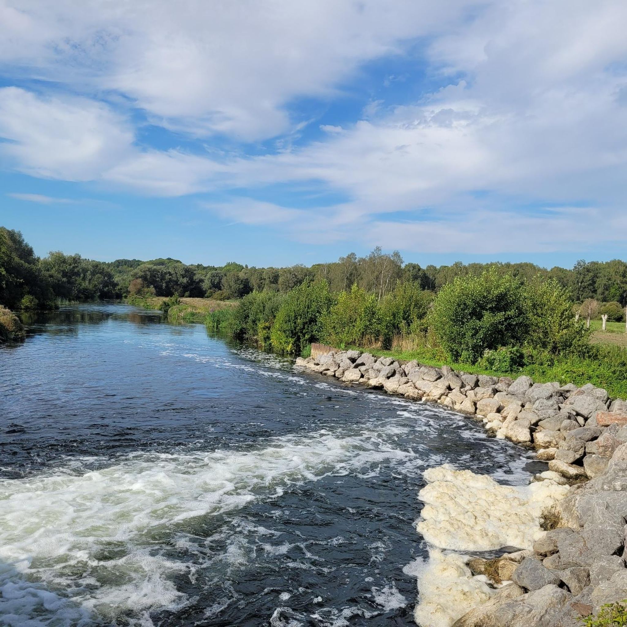
Welcome to Eclusier-Vaux, a municipality in the Somme with 85 inhabitants.
15
0

There are several small locks with benches to view them well
5
0

The Cratère de Lochnagar, an impressive war memorial, was created by a huge mine blown up by the British Royal Engineers on 1 July 1916, as part of the Battle of the Somme. The explosion marked the beginning of the battle and left a crater 90 metres in diameter and 25 metres deep. Interestingly, the crater was named after Lochnagar Street, the trench from which the tunnel was dug. The crater is now a preserved site of remembrance and a religious service is held there every year on 1 July in memory of those who died.
8
0
The Nymphe d'Aveluy is a historical monument in Aveluy, France, commemorating the artwork created by French soldiers during World War I. During periods of rest between battles, soldiers created sculptures and engravings, including the famous "Nymphe d'Aveluy". These works were often photographed and sent to their families on postcards.
1
0

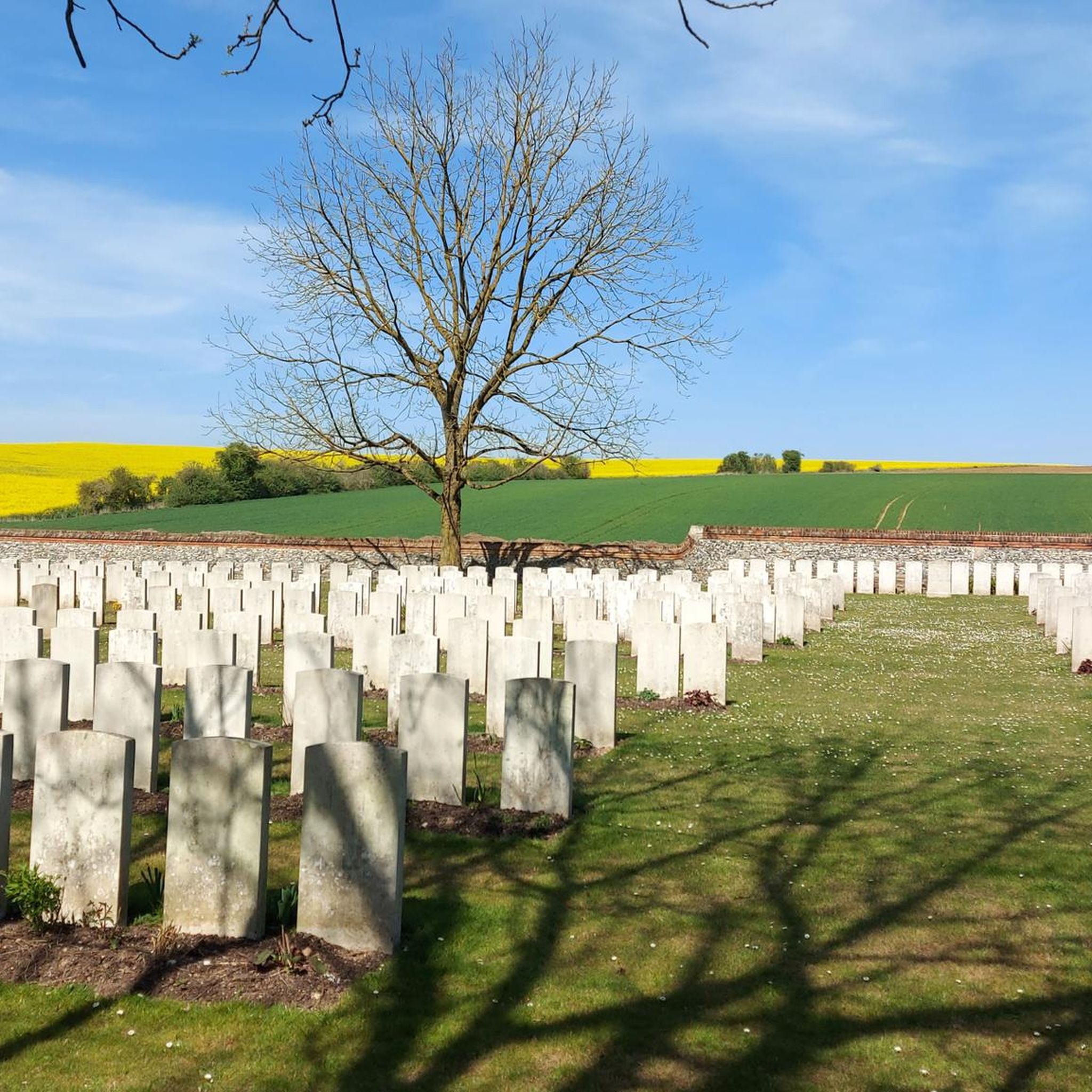
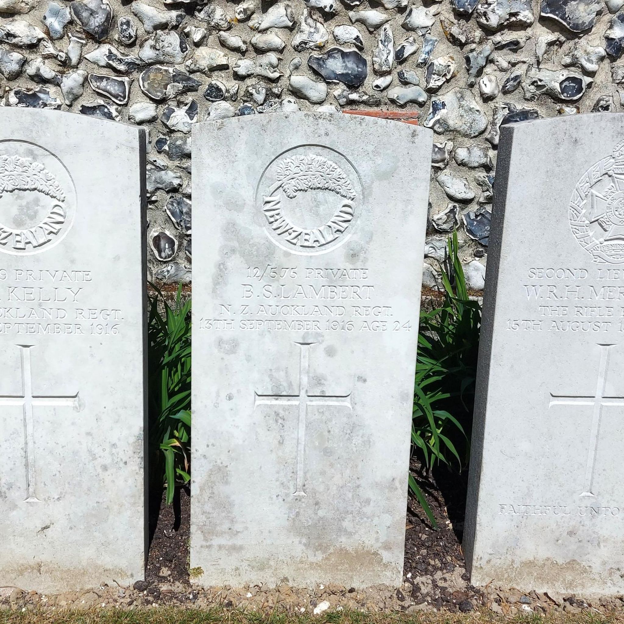
The village of Combles was captured by the Germans in August 1916, lost in March 1918 and finally recaptured five months later. This cemetery, which was started by the Guards Division, contains the graves of 182 British soldiers and four Newfoundlanders who fell in these engagements.
0
0


Just off the road to Bapaume, is the site of the grand mine. At 7am on the 1st July 1916 the biggest explosion in history cause this hole o e of several that marked the start of the Battle of the Somme. Well worth a visit.
0
0
Frequently Asked Questions
How many running routes are available around Montauban-De-Picardie?
There are over 90 running routes around Montauban-De-Picardie, offering a variety of options for different preferences and fitness levels. The komoot community has explored these trails over 990 times.
What kind of terrain can I expect on jogging routes in Montauban-De-Picardie?
The jogging routes in Montauban-De-Picardie are characterized by the rural landscapes of Picardy. You'll find a network of local roads and paths, often traversing the countryside. The terrain is generally gentle, with modest elevation changes, making it suitable for various running abilities.
Are there easy running routes suitable for beginners in Montauban-De-Picardie?
Yes, there are several easy running routes around Montauban-De-Picardie perfect for beginners or those looking for a relaxed run. These routes typically feature gentle terrain and shorter distances.
What do other runners say about the trails in Montauban-De-Picardie?
The running routes in Montauban-De-Picardie are highly rated by the komoot community, with an average score of 4.6 stars from over 29 reviews. Runners often praise the quiet rural paths and the opportunity to combine exercise with historical exploration.
Can I see any historical landmarks while jogging in Montauban-De-Picardie?
Absolutely. Many running routes in the area pass by significant historical sites. For instance, the Lochnagar crater and German military cemetery of Fricourt loop takes you past the historic Lochnagar Crater. Other notable landmarks nearby include the La Boisselle Mine Crater and the Thiepval Memorial.
Are there scenic viewpoints along the running paths in this region?
Yes, you can find scenic viewpoints along some of the running paths. For example, the Vaux Viewpoint loop from Curlu leads to a notable vista. You can also find the Frise Viewpoint on other routes, offering picturesque views of the Picardy landscape.
Are there any circular running routes available?
Many of the running routes around Montauban-De-Picardie are designed as loops, offering a convenient way to start and finish at the same point. Examples include the popular Lochnagar crater and German military cemetery of Fricourt loop and the Frise Lock loop from Curlu.
What is the typical length of running trails in this area?
The running trails around Montauban-De-Picardie vary in length, but many fall within the 6 to 15-kilometer range. For instance, the Lochnagar crater and German military cemetery of Fricourt loop is about 10.1 km, while the Vaux Viewpoint – Frise Lock loop from Éclusier-Vaux is around 14.7 km.
Are there any challenging running trails with significant elevation changes?
While the region is generally characterized by gentle terrain, there are some routes that offer more challenge. About 24 of the available routes are rated as difficult, featuring more significant elevation gains. For example, the Vaux Viewpoint loop from Curlu includes varied terrain and notable ascents.
Are the running routes in Montauban-De-Picardie suitable for families?
Given the generally gentle terrain and rural paths, many of the running routes around Montauban-De-Picardie can be suitable for families, especially those looking for a leisurely jog or walk. It's always a good idea to check the specific route details for distance and difficulty to ensure it matches your family's capabilities.
Can I bring my dog on the running trails?
In general, dogs are welcome on many rural paths and trails in France, especially when kept on a leash. However, specific rules can vary, particularly in nature reserves or near private property. It's advisable to check local signage or specific route information for any restrictions before heading out with your dog.
What is the best time of year for running in Montauban-De-Picardie?
The Somme department, where Montauban-De-Picardie is located, offers pleasant conditions for outdoor activities for much of the year. Spring and autumn typically provide mild temperatures and beautiful scenery. Summer can be warm but is generally suitable, while winter runs are possible, though paths might be muddy or frosty. Always check local weather conditions before your run.
Are there options for running along rivers or canals?
Yes, the region features riverine landscapes. The Frise Lock loop from Curlu, for instance, follows the river, offering flat sections and pleasant views. The wider Somme department is known for its rivers, providing opportunities for scenic runs along watercourses.
Most popular routes around Montauban-De-Picardie
Most popular attractions around Montauban-De-Picardie

Get inspired with the komoot mobile app


Explore more
Browse the best Running Trails & Routes in other regions.
