The best walks and hikes around Longueval
4.4
(169)
923
hikers
64
hikes
Hiking around Longueval offers trails through a landscape characterized by gentle hills, agricultural fields, and historical sites. The region, situated in the Somme department, features routes that often pass through memorial areas and provide views of the surrounding countryside. Elevation changes are typically modest, making many paths accessible for various fitness levels.
Best hiking trails around Longueval
- The most popular hiking route is Around the Thiepval Memorial Trail, a 5.2 miles (8.4 km) trail that takes 2 hours 13…
Last updated: October 26, 2026
4.5
(4)
43
hikers
7.91km
02:10
80m
80m
Moderate hike. Good fitness required. Mostly walkable paths. Sure-footedness required.
4.7
(11)
65
hikers
10.2km
02:37
40m
40m
Moderate hike. Good fitness required. Easily walkable paths.

15
hikers
Moderate hike. Mostly walkable paths. Sure-footedness required.
4.3
(3)
9
hikers
13.2km
03:32
150m
150m
Moderate hike. Good fitness required. Easily walkable paths.
2
hikers
18.5km
04:56
200m
200m
Moderate hike. Good fitness required. Easily walkable paths.
Get access to more routes and recommendations from other explorers.
Already have an account?
Our route recommendations are based on thousands of hikes, rides, and runs completed by other people on komoot.
Start today with a free account
Your next adventure awaits.


Tips from the Community

The path is narrow and runs along the steep slope. Caution, limestone can be particularly slippery in damp conditions. However, at the right time of year, you have the opportunity to discover orchids here and otherwise it is a species-rich environment - not to mention the pretty view.
1
0

Welcome to Eclusier-Vaux, a municipality in the Somme with 85 inhabitants.
15
0

There are several small locks with benches to view them well
5
0

Officially part of the Historial de la Grande Guerre, the Thiepval Museum is located near the impressive Thiepval Memorial and offers an in-depth look at the Battle of the Somme of 1916. Opened in 2016 to mark the centenary of this bloody battle, the museum comprises seven thematic areas, each highlighting a different aspect of the war. One of the highlights is the 60-metre-long panoramic comic strip by artist Joe Sacco, which vividly depicts the events of 1 July 1916. Visitors will gain insight not only into the military strategies, but also into the human suffering and the culture of remembrance surrounding the missing of the Somme.
5
0
The Tour d'Ulster, also known as the Helen Tower or Tour de Belfast, is a British war memorial. It was built in 1921 to commemorate the soldiers of the 36th Ulster Division who died during the Battle of the Somme in World War I. The tower is a replica of a neo-Gothic tower in Clandeboye Park, near Belfast, where the 36th Division trained. An interesting anecdote is that the 36th Ulster Division was the first to attack during the Battle of the Somme on 1 July 1916, but suffered heavy losses from both German and British artillery fire. The division lost over 5,500 men in just a few hours. The Tour d'Ulster has a cafeteria where you can enjoy a cup of tea, scones or Tayto chips, a specialty from Northern Ireland. It is a nice place to relax.
6
0
The Cratère de Lochnagar, an impressive war memorial, was created by a huge mine blown up by the British Royal Engineers on 1 July 1916, as part of the Battle of the Somme. The explosion marked the beginning of the battle and left a crater 90 metres in diameter and 25 metres deep. Interestingly, the crater was named after Lochnagar Street, the trench from which the tunnel was dug. The crater is now a preserved site of remembrance and a religious service is held there every year on 1 July in memory of those who died.
8
0
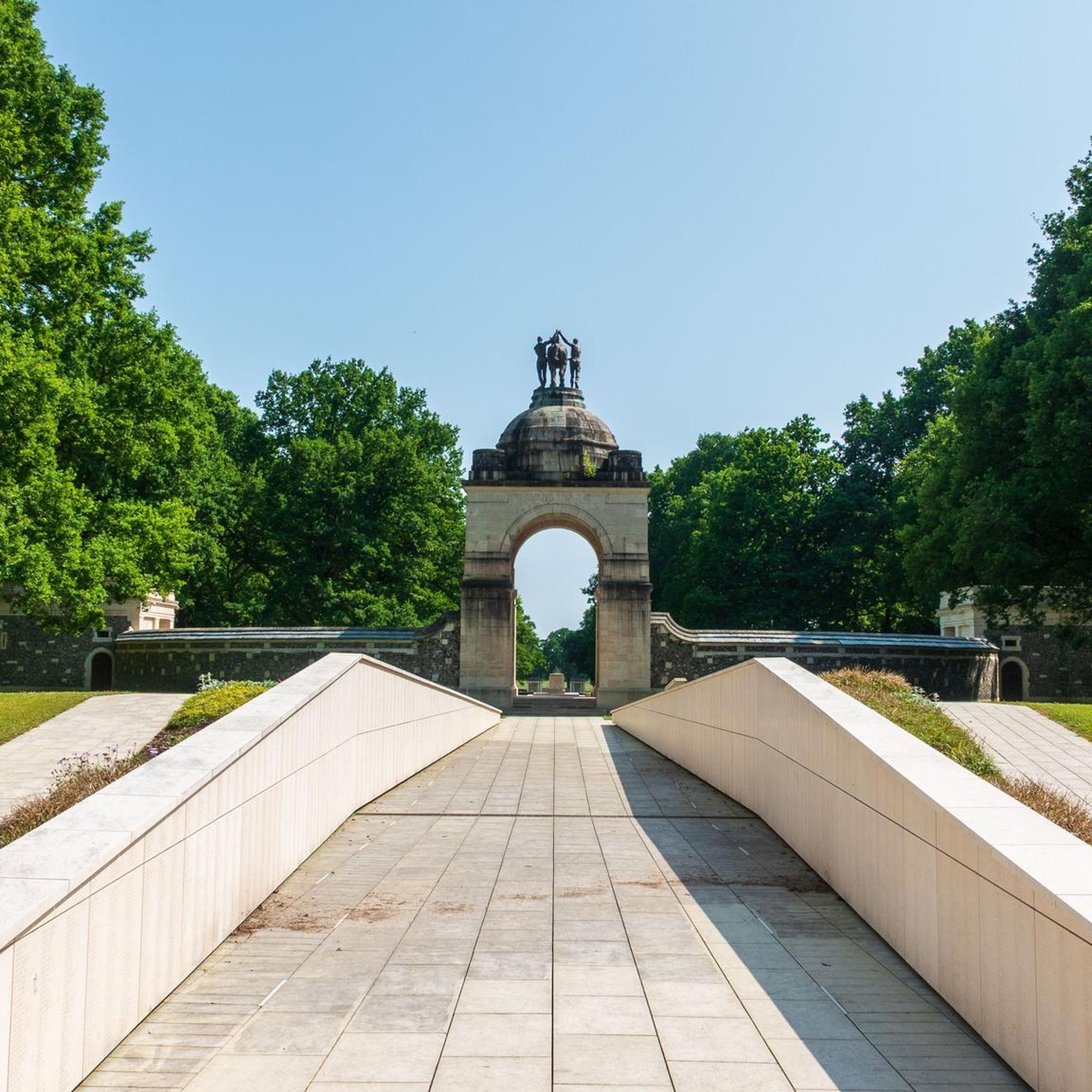
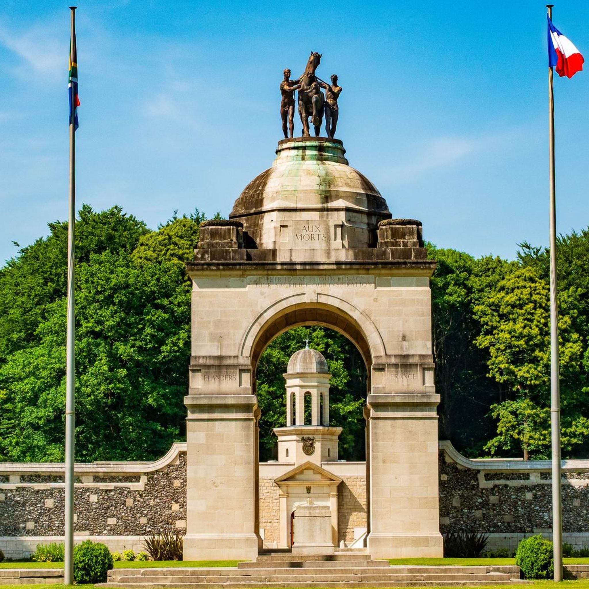
An interesting anecdote is that the monument was inaugurated in 1932 by the Prince of Wales and the French President Albert Lebrun. The monument consists of a series of arches supported by sixteen massive square pillars, on which the names of the missing soldiers are engraved. At the foot of the monument is a Franco-British military cemetery with 600 graves: 300 French and 300 British soldiers.
6
0
Frequently Asked Questions
How many hiking trails are there in Longueval?
Longueval offers a selection of nearly 60 hiking trails. These routes traverse a landscape of gentle hills, agricultural fields, and significant historical sites, providing options for various fitness levels.
Are there easy hikes suitable for beginners in Longueval?
Yes, Longueval is well-suited for beginners, with 21 easy hikes available. These trails typically feature modest elevation changes and accessible paths. An excellent option for an easy walk is the Frise Lock loop from Feuillères, which is just under 3 miles (4.7 km) long.
What are the typical lengths of hikes around Longueval?
Hikes around Longueval vary in length, but many popular routes are moderate and range from 5 to 6 miles (8 to 10 km). For example, the Around the Thiepval Memorial Trail is 5.2 miles (8.4 km), and the Lochnagar crater and German military cemetery of Fricourt loop is 6.2 miles (10.0 km).
Are there family-friendly hiking options in Longueval?
The gentle terrain and modest elevation changes in Longueval make many trails suitable for families. Look for the 'easy' rated hikes, which are generally shorter and less demanding, perfect for walks with children. The historical context of the region can also provide an educational element for older children.
Can I bring my dog on hikes in Longueval?
Generally, dogs are welcome on hiking trails in Longueval, especially on paths through open fields and rural areas. However, it's always best to keep your dog on a leash, particularly near historical sites, agricultural land, or when passing through villages. Be mindful of local regulations and respect other hikers and wildlife.
Are there circular walks available in Longueval?
Yes, many of the trails around Longueval are designed as circular routes, allowing you to start and end at the same point without retracing your steps. Examples include the Lochnagar crater and German military cemetery of Fricourt loop and the Somme River and Dam Viewpoint – Frise Lock loop from Feuillères.
What kind of historical sites or landmarks can I see while hiking?
Longueval is rich in historical significance, particularly related to WWI. Many trails pass by or lead to important landmarks. You can visit sites like the Lochnagar Crater, the Thiepval Memorial, or the La Boisselle Mine Crater. These sites offer a poignant glimpse into the region's past.
What do other hikers say about the trails in Longueval?
The trails in Longueval are highly rated by the komoot community, with an average score of 4.4 stars from over 120 reviews. Hikers often praise the well-maintained paths, the historical context, and the peaceful, open countryside views.
When is the best time of year to go hiking in Longueval?
The best time to hike in Longueval is typically from spring through autumn (April to October). During these months, the weather is generally mild and pleasant, and the landscape is vibrant. Summer offers longer daylight hours, while spring and autumn provide comfortable temperatures and beautiful seasonal colors.
Are there any hikes that feature viewpoints or scenic spots?
Yes, several routes offer scenic vistas across the Somme countryside. You can find excellent views at the Frise Viewpoint or the Vaux Viewpoint. Trails along the Somme River also provide picturesque riverine landscapes.
Is parking available at the trailheads in Longueval?
Parking is generally available near the starting points of many popular trails and historical sites in Longueval and the surrounding villages. Given the rural nature of the area, you'll often find designated parking areas or roadside spots, especially near memorials and visitor centers.
Are there any trails that pass by water features like rivers or lakes?
Yes, the region features trails that follow the Somme River. The Somme River and Dam Viewpoint – Frise Lock loop from Feuillères is a great example, leading you through riverine landscapes and past the Frise Lock.
What should I wear for hiking in Longueval?
For hiking in Longueval, comfortable walking shoes or light hiking boots are recommended due to the varied terrain, which can include paved paths, dirt tracks, and grassy fields. Layered clothing is advisable, as weather can change, and a waterproof jacket is always a good idea, especially outside of peak summer. Sun protection is also important for open, exposed sections.
Most popular attractions around Longueval

Get inspired with the komoot mobile app


Explore more
Browse the best Hikes in other regions.
