The best road cycling routes around Guillemont
3.5
(9)
151
riders
55
rides
Road cycling routes around Guillemont are situated in a rural commune within the Somme department of northern France, characterized by generally flat to gently rolling terrain. The region's landscape is shaped by the Somme River and its canals, offering routes that often follow converted towpaths. Cyclists can explore river valleys, marshes, and historical sites, with elevations typically ranging from 94 to 156 meters within Guillemont itself. The broader Somme area provides access to diverse landscapes, including the Bay of Somme…
Last updated: May 20, 2026
6
riders
Easy road ride. Great for any fitness level. Mostly well-paved surfaces and easy to ride.
5
riders
Moderate road ride. Good fitness required. Mostly well-paved surfaces and easy to ride.

Sign up for free
3.0
(1)
4
riders
53.8km
02:21
350m
350m
Moderate road ride. Good fitness required. Mostly well-paved surfaces and easy to ride.
4
riders
41.8km
02:10
340m
340m
Moderate road ride. Good fitness required. Mostly well-paved surfaces and easy to ride.
4
riders
32.3km
01:36
280m
280m
Easy road ride. Great for any fitness level. Mostly well-paved surfaces and easy to ride.
Get access to more routes and recommendations from other explorers.
Sign up for free
Already have an account?
Our route recommendations are based on thousands of hikes, rides, and runs completed by other people on komoot.
Start today with a free account
Your next adventure awaits.
Login or Signup



Tips from the Community

In addition to the exceptional viewpoint, the landscape interpretation table allows you to better understand the environment that unfolds before you.
0
0

Magnificent viewpoint overlooking the Somme Valley. The climb is quite steep to get there from Péronne.
0
0

Also a bicycle repair and electric bike charging point
0
0

magnificent view
0
0

The Cratère de Lochnagar, an impressive war memorial, was created by a huge mine blown up by the British Royal Engineers on 1 July 1916, as part of the Battle of the Somme. The explosion marked the beginning of the battle and left a crater 90 metres in diameter and 25 metres deep. Interestingly, the crater was named after Lochnagar Street, the trench from which the tunnel was dug. The crater is now a preserved site of remembrance and a religious service is held there every year on 1 July in memory of those who died.
8
0

The town of Bapaume presents one of the most traditional facets of Pas-de-Calais. From its belfry in the village center to the many trails that surround it, discover an authentic village.
0
0
French politician, MP and then resistance fighter, born on November 6, 1890 in Bapaume, he became mayor of the town in 1929. In 1934, he was elected general councilor of Pas-de-Calais. In 1936, he ran in the legislative elections and was elected in the second round. He was arrested in 1943 by the Nazis as he left the prefecture, and deported to the Gross-Rosen camp where he died on November 27, 1944. Since 1948, a monument showing him at the time of his arrest honors his memory. At the Town Hall there is an urn with soil from Gross-Rosen as well as a painting of him.
0
0

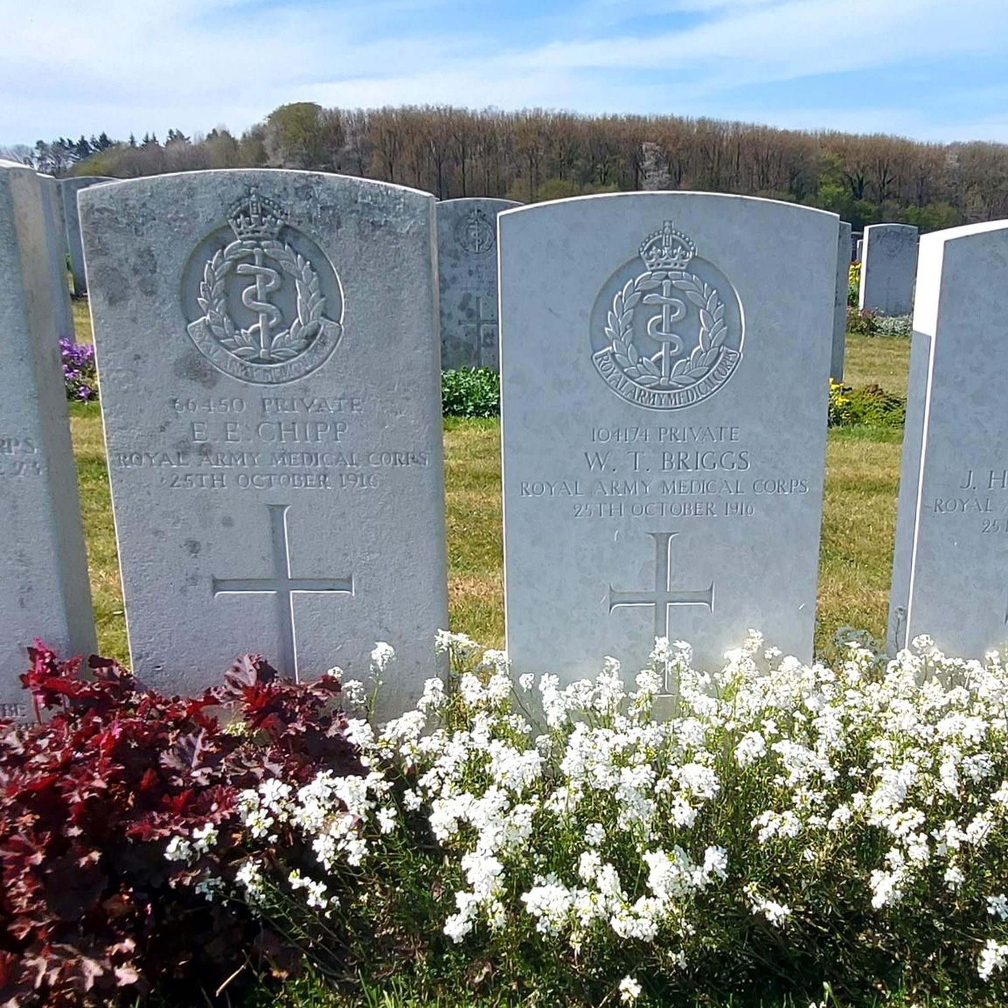
The cemetery's name, "Adanac," was formed by reversing the letters of "Canada" to honor the 1,078 Canadians buried there. There are now 3,187 Commonwealth and First World War commemorative graves in this cemetery, of which 1,709 are unidentified: 1,989 British, 1,074 Canadian, 70 New Zealand, 56 Australian, and 1 German. The village of Miraumont was occupied by British troops on February 24 and 25, 1917, following the German withdrawal to the Hindenburg Line. The village, recaptured by the Germans on March 25, 1918, was finally captured by the 42nd (East Lancashire) Division on August 24.
0
0
Frequently Asked Questions
What kind of terrain can I expect on road cycling routes around Guillemont?
The road cycling routes around Guillemont and the broader Somme region feature generally flat to gently rolling terrain. You'll often find yourself cycling alongside the Somme River and its canals, with elevations typically ranging from 94 to 156 meters within Guillemont itself. This makes the area suitable for various fitness levels.
Are there road cycling routes suitable for families in the Guillemont area?
Yes, the Somme Valley cycle route, which is easily accessible from the Guillemont area, often follows converted towpaths alongside the River Somme. This provides a peaceful and comfortable cycling experience on generally flat terrain, making it suitable for families. Look for routes described as 'easy' or 'moderate' for the most family-friendly options.
What historical sites or landmarks can I see while road cycling near Guillemont?
The region is rich in World War I history. You can cycle near significant sites such as the Lochnagar Crater, the Thiepval Memorial, and the La Boisselle Mine Crater. Many routes, like the Château de Péronne – Doingt Greenway loop from Nécropole nationale de France à l'Ouvrage des Bois, lead through historical areas, allowing you to engage with the indelible marks left by World War I.
Are there circular road cycling routes available from Guillemont?
Yes, many of the road cycling routes around Guillemont are designed as loops. For example, the Château de Suzanne – Towpath Along the Somme River loop from Cléry-sur-Somme offers a substantial circular ride following the Somme River. You'll find various other circular options catering to different distances and difficulties.
What is the best time of year for road cycling around Guillemont?
The Somme region offers pleasant cycling conditions during spring, summer, and early autumn. These seasons typically provide milder weather and lush landscapes, making for an enjoyable experience. The generally gentle terrain means routes are accessible for a good portion of the year.
Where can I find parking for road cycling routes near Guillemont?
While specific parking areas for each route may vary, many towns and villages along the Somme Valley, including those near Guillemont, offer public parking facilities. Look for parking in larger towns like Péronne or near popular starting points for routes, such as Cléry-sur-Somme or Carnoy-Mametz.
Can I access road cycling routes near Guillemont using public transport?
The Somme region has a network of public transport, including train services to larger towns like Amiens and Péronne. From these hubs, local buses or short rides can connect you to villages near cycling routes. The region also has 'Accueil Vélo' certified services, which often include facilities for cyclists, making it easier to combine cycling with public transport.
What kind of amenities are available for cyclists in villages around Guillemont?
The Somme region is equipped with 'Accueil Vélo' certified accommodations and services, particularly in larger towns and along the main cycling routes. These services ensure cyclists have access to facilities like secure bike shelters, repair kits, and helpful information. You'll also find cafes, restaurants, and small shops in many of the charming towns and villages you pass through.
How challenging are the road cycling routes in the Guillemont area?
The routes around Guillemont cater to a range of abilities. You'll find easy routes with minimal elevation gain, moderate paths like the Canal de la Somme Cycle Path – Saint-Léger Church loop from Carnoy-Mametz, and some more difficult options with greater distances and elevation changes, such as the Château de Péronne – Doingt Greenway loop from Nécropole nationale de France à l'Ouvrage des Bois. Overall, the region's generally gentle terrain makes it accessible for most road cyclists.
What do other road cyclists enjoy most about cycling in Guillemont?
The road cycling routes around Guillemont are highly rated by the komoot community, with an average score of 3.5 stars from over 10 reviews. Cyclists often praise the peaceful experience along the Somme River and canals, the blend of natural beauty with historical World War I sites, and the well-maintained paths that offer diverse options for all skill levels.
Are there any specific long-distance road cycling routes that pass through or near Guillemont?
Yes, the renowned Somme Valley cycle route (Véloroute Vallée de Somme) stretches for approximately 160 to 200 kilometers and passes through the wider Somme region, making it accessible from Guillemont. This route follows the calm course of the Somme River, offering a continuous and scenic long-distance cycling experience. You can find more information about this route on France Vélo Tourisme.
Most popular attractions around Guillemont

Get inspired with the komoot mobile app


Explore more
Browse the best Road cycling routes in other regions.
