The best walks and hikes around Ginchy
4.4
(156)
830
hikers
62
hikes
Hiking around Ginchy offers routes through a landscape characterized by river valleys, low hills, and open countryside in the Somme department of Hauts-de-France. The region features gentle elevation changes, with elevations ranging from 85 to 157 meters, making it accessible for various hiking abilities. Trails often follow the Somme River, providing views of the waterway and surrounding agricultural areas, with some routes including wooded sections and viewpoints over the local terrain. The area's historical significance from World War I also…
Last updated: October 26, 2026
4.7
(12)
67
hikers
10.1km
02:36
40m
40m
Moderate hike. Good fitness required. Easily walkable paths.
4.5
(4)
43
hikers
7.91km
02:10
80m
80m
Moderate hike. Good fitness required. Mostly walkable paths. Sure-footedness required.

4.0
(6)
31
hikers
4.71km
01:12
20m
20m
Easy hike. Easily walkable paths.
4.0
(5)
21
hikers
5.43km
01:24
30m
30m
Easy hike. Easily walkable paths.
4.6
(5)
19
hikers
18.9km
05:00
130m
130m
Hard hike. Very good fitness required. Mostly walkable paths. Sure-footedness required.
Get access to more routes and recommendations from other explorers.
Already have an account?
Our route recommendations are based on thousands of hikes, rides, and runs completed by other people on komoot.
Start today with a free account
Your next adventure awaits.

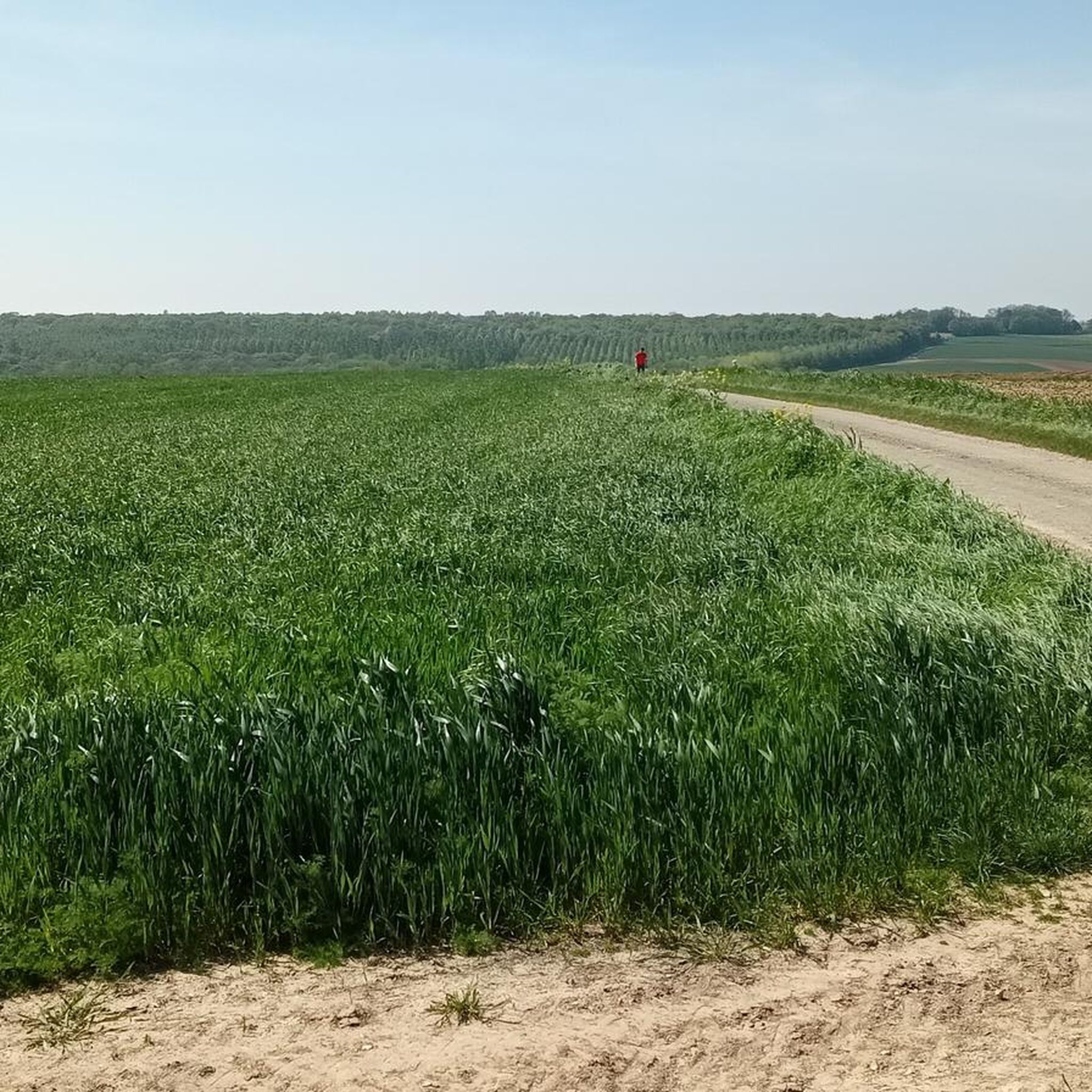


Tips from the Community

The path is narrow and runs along the steep slope. Caution, limestone can be particularly slippery in damp conditions. However, at the right time of year, you have the opportunity to discover orchids here and otherwise it is a species-rich environment - not to mention the pretty view.
1
0

Welcome to Eclusier-Vaux, a municipality in the Somme with 85 inhabitants.
15
0
viewpoint la Montagne de Frise
14
0
Nice campsite and starting point for walks and bike rides, over rolling shelves or flat along shores.
16
0
One day in July 1916. Our recaptured villages Frise and Feuillères, on the left bank of the Somme, were conquered on July 2 and 3. In Frise, the church had been reduced to a gaping ruin. The locks and footbridges of the Somme canal were also out of order. Infantrymen were talking at the entrance to a shelter.
17
0

There are several small locks with benches to view them well
5
0
A lot of fishing is done here, there is plenty of clear running water and several fishing ponds.
19
0
Frequently Asked Questions
What kind of landscape can I expect when hiking in Ginchy?
Hiking around Ginchy offers routes through a landscape characterized by river valleys, low hills, and open countryside. Trails often follow the Somme River, providing views of the waterway and surrounding agricultural areas. You'll also find wooded sections and viewpoints over the local terrain.
How many hiking trails are available around Ginchy?
There are over 50 hiking routes available around Ginchy. These include a mix of easy, moderate, and a few more challenging options to suit various preferences and fitness levels.
What is the overall difficulty level of hiking trails in Ginchy?
The majority of hiking trails in Ginchy are considered easy or moderate. Out of over 50 routes, 17 are easy, 33 are moderate, and only 3 are classified as difficult. This makes the region accessible for a wide range of hikers.
Are there any circular hiking routes in Ginchy?
Yes, many of the trails in Ginchy are circular. For example, the Somme River and Dam Viewpoint – Frise Lock loop from Feuillères is a popular circular route offering river views. Another option is the Bois, the mountain of vaux – Vaux Viewpoint loop from Éclusier-Vaux, which winds through wooded areas.
What are some interesting landmarks or viewpoints to see along the trails in Ginchy?
The Ginchy area features several points of interest. You can visit the Lochnagar Crater, a significant historical site, or enjoy panoramic views from the Frise Viewpoint. The Vaux Viewpoint is also notable for its scenic outlooks.
Are there any longer, more challenging hikes in the Ginchy area?
While most trails are easy to moderate, there are a few longer options. The Frise Viewpoint – Frise Lock loop from Feuillères is a moderate 18.8 km (11.7 mi) route that provides a more extended hiking experience. Another longer option is the Péronne – Archers' Hill loop from Cléry-sur-Somme, covering 16.6 km (10.3 mi).
What do other hikers say about the trails in Ginchy?
The trails in Ginchy are highly rated by the komoot community, with an average score of 4.4 stars from over 100 reviews. Hikers often praise the region's gentle elevation changes, scenic river views, and the variety of routes available for different skill levels.
Are there any trails suitable for families with children?
Yes, Ginchy offers several easy routes that are well-suited for families. The gentle elevation changes and well-defined paths make it enjoyable for all ages. The Frise Lock loop from Feuillères, at 4.7 km (2.9 mi), is an easy option that can be completed in just over an hour.
Is there parking available at the trailheads in Ginchy?
While specific parking information for every trailhead isn't detailed here, many routes around Ginchy, especially those starting from villages like Feuillères or Éclusier-Vaux, typically have local parking options available. It's advisable to check local maps or komoot tour details for specific starting points.
What is the best time of year to go hiking in Ginchy?
Given the landscape of river valleys and open countryside, Ginchy is generally pleasant for hiking from spring through autumn. Spring brings blooming flora, while autumn offers beautiful colors. Summer is also suitable, but always check local weather conditions before heading out.
Are there any trails that follow the Somme River?
Yes, many routes in Ginchy feature sections along the Somme River. The Somme River and Dam Viewpoint – Frise Lock loop from Feuillères is a prime example, offering continuous views of the waterway and its surroundings.
Most popular attractions around Ginchy

Get inspired with the komoot mobile app


Explore more
Browse the best Hikes in other regions.
