The best road cycling routes around Ignaucourt
4.1
(25)
533
riders
138
rides
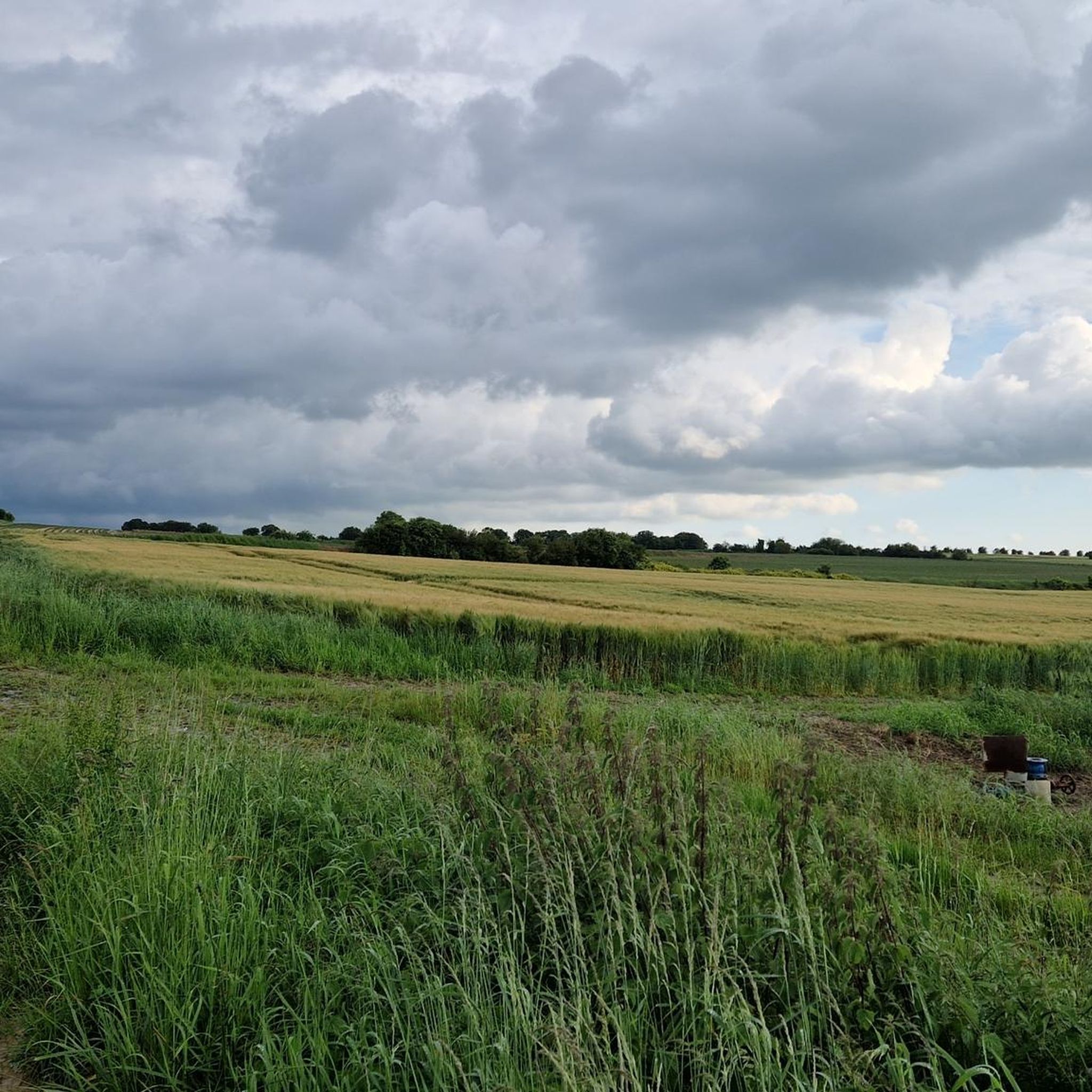
Road cycling routes around Ignaucourt are situated in the Somme department of the Hauts-de-France region, characterized by elevations ranging from 46 to 99 meters. The terrain features a mix of river valleys, agricultural fields, and rolling countryside. The area is drained by the Luce and Margot rivers, contributing to a verdant landscape suitable for various skill levels.
Best road cycling routes around Ignaucourt
- The most popular road cycling route is Chemin de Hailles loop from Beaucourt-en-Santerre, a 35.6 miles…
Last updated: July 27, 2026
12
riders
119km
05:36
970m
970m
Hard road ride. Very good fitness required. Some segments of this route may be unpaved and difficult to ride.
11
riders
46.7km
02:06
310m
310m
Moderate road ride. Good fitness required. Mostly well-paved surfaces and easy to ride.

Sign up for free
5
riders
28.2km
01:11
170m
170m
Easy road ride. Great for any fitness level. Mostly well-paved surfaces and easy to ride.
4
riders
65.4km
02:57
440m
440m
Moderate road ride. Good fitness required. Mostly well-paved surfaces and easy to ride.
4.0
(1)
2
riders
79.1km
03:48
710m
710m
Moderate road ride. Good fitness required. Mostly well-paved surfaces and easy to ride.
Get access to more routes and recommendations from other explorers.
Sign up for free
Already have an account?
Our route recommendations are based on thousands of hikes, rides, and runs completed by other people on komoot.
Start today with a free account
Your next adventure awaits.
Login or Signup



Tips from the Community

In addition to the exceptional viewpoint, the landscape interpretation table allows you to better understand the environment that unfolds before you.
0
0

Magnificent viewpoint overlooking the Somme Valley. The climb is quite steep to get there from Péronne.
0
0

Enjoy going to the magnificent show: The Breath of the Earth
0
2

magnificent view
0
0

The Tour d'Ulster, also known as the Helen Tower or Tour de Belfast, is a British war memorial. It was built in 1921 to commemorate the soldiers of the 36th Ulster Division who died during the Battle of the Somme in World War I. The tower is a replica of a neo-Gothic tower in Clandeboye Park, near Belfast, where the 36th Division trained. An interesting anecdote is that the 36th Ulster Division was the first to attack during the Battle of the Somme on 1 July 1916, but suffered heavy losses from both German and British artillery fire. The division lost over 5,500 men in just a few hours. The Tour d'Ulster has a cafeteria where you can enjoy a cup of tea, scones or Tayto chips, a specialty from Northern Ireland. It is a nice place to relax.
6
0

Tour d'Ulster has a cafeteria where you can enjoy a cup of tea, scones or Tayto chips, a specialty from Northern Ireland. It is a nice place to relax for a while.
1
0
The Tour d'Ulster, also known as the Helen Tower or Tour de Belfast, is a British war memorial. It was built in 1921 to commemorate the soldiers of the 36th Ulster Division who died during the Battle of the Somme in World War I. The tower is a replica of a neo-Gothic tower in Clandeboye Park, near Belfast, where the 36th Division trained. An interesting anecdote is that the 36th Ulster Division was the first to attack during the Battle of the Somme on 1 July 1916, but suffered heavy casualties from both German and British artillery fire. The division lost over 5,500 men in just a few hours.
1
0
Frequently Asked Questions
How many road cycling routes are available around Ignaucourt?
There are over 140 road cycling routes available around Ignaucourt, catering to various skill levels. This includes more than 50 easy routes, 80 moderate routes, and a few more challenging options.
What is the typical terrain like for road cycling near Ignaucourt?
The terrain around Ignaucourt, situated in the Santerre region of the Somme department, is generally gently undulating. You'll encounter elevations ranging from 46 to 99 meters, with serene river valleys like the Luce and Margot, and extensive agricultural fields. This topography makes for accessible cycling with modest gradients.
Are there routes suitable for beginners or less experienced cyclists?
Yes, Ignaucourt offers many options for beginners. Over 50 of the routes are classified as easy. For example, the Roadbike loop from Mézières-en-Santerre is an easy 34.3 km ride with gentle gradients, perfect for a relaxed outing.
What is the best time of year to go road cycling in the Ignaucourt area?
The spring and summer months (roughly April to September) are generally the most pleasant for road cycling in the Somme department. The weather is milder, and the agricultural landscapes are vibrant. Autumn can also be beautiful with changing foliage, though temperatures will be cooler.
Are there any major regional cycling routes accessible from Ignaucourt?
Yes, Ignaucourt's location provides excellent access to significant regional cycling networks. You can easily reach segments of the Somme Valley Cycle Route, which follows the Somme River, and the Memory Cycle Route, which connects major cities like Amiens and Arras through World War I memorial sites.
What historical sites or landmarks can I explore while cycling near Ignaucourt?
The region is rich in history, particularly related to World War I. While cycling, you can visit sites like the Villers-Bretonneux Australian National Memorial. The Memory Cycle Route specifically guides cyclists through these significant memorial locations.
Are there any natural attractions or scenic spots along the routes?
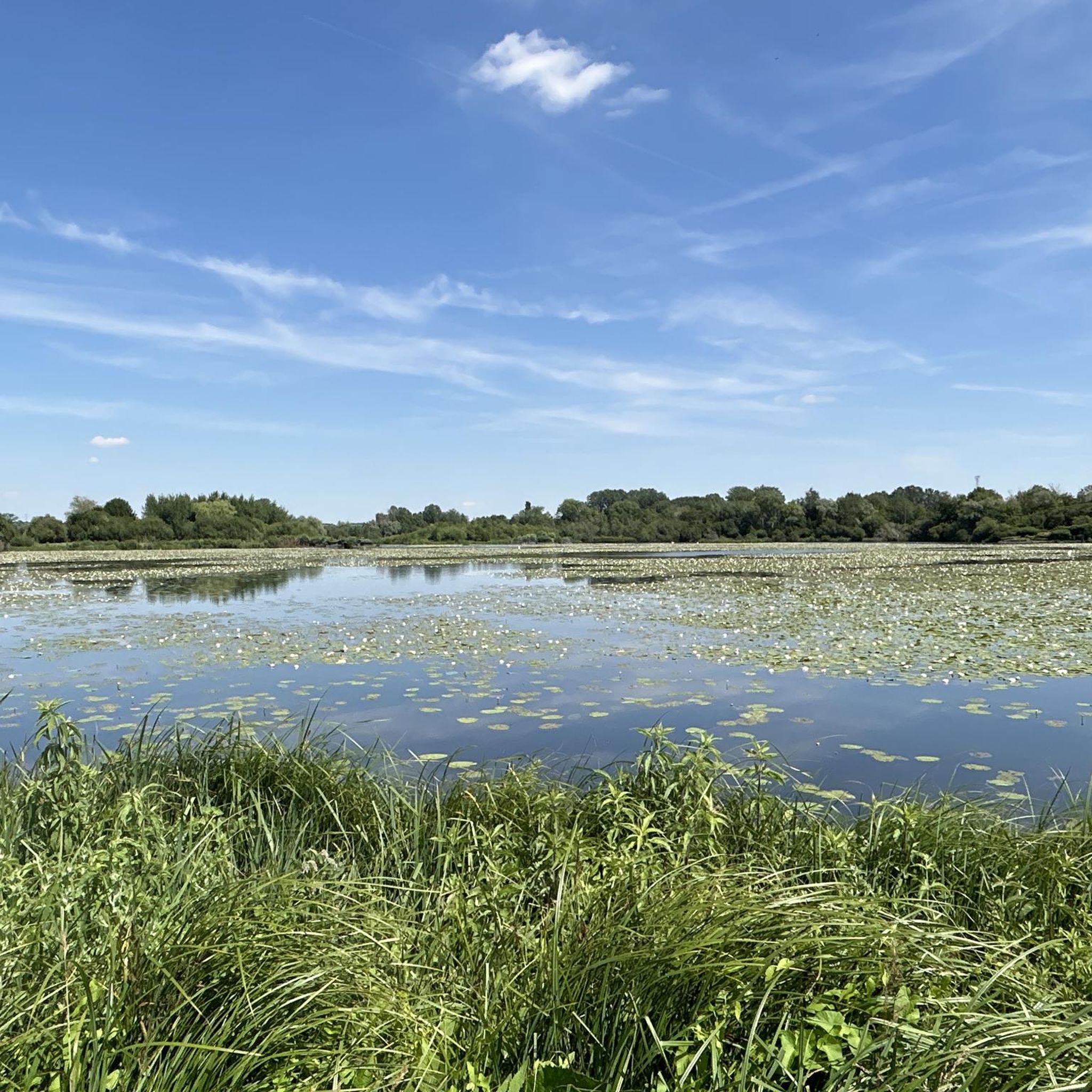
Absolutely. The Somme department is known for its natural beauty. Along routes, especially those near the Somme River, you can discover serene river valleys, marshlands, ponds, and peat bogs. The Towpath Along the Somme River offers picturesque views and a tranquil cycling experience.
Are the road cycling routes around Ignaucourt suitable for families?
Many routes around Ignaucourt, particularly the easy ones and segments of the Somme Valley Cycle Route, are suitable for families. The generally gentle topography and dedicated cycle paths make for a safe and enjoyable experience. The Somme Valley Cycle Route, for instance, is largely tarmac with modest elevation, ideal for family outings.
Can I bring my dog along on road cycling routes in this area?
While the region is generally outdoor-friendly, road cycling routes are typically designed for speed and efficiency, which may not be ideal for dogs. If you wish to bring your dog, consider routes with wider shoulders or dedicated paths, and always ensure your dog's safety and comfort, especially on longer rides or in warmer weather. For off-road adventures, the broader Somme region offers many hiking and nature trails that might be more suitable for dogs.
Are there parking facilities available for cyclists?
Yes, parking is generally available in the villages and towns that serve as starting points for many routes. For accessing regional routes like the Somme Valley Cycle Route, you can often find parking in larger towns along its path, such as Amiens or Péronne.
Are there places to stop for refreshments or accommodation near the cycling routes?
Yes, the small villages and towns scattered throughout the Somme department offer various amenities. You'll find cafes, restaurants, and local shops in many of these communities. Along the Somme Valley Cycle Route, renovated former lock-keepers' houses sometimes provide accommodation services, and picnic areas are common.
What do other cyclists say about road cycling in Ignaucourt?
The road cycling routes around Ignaucourt are highly rated by the komoot community, with an average score of 4.5 stars from over 17 reviews. Cyclists often praise the undulating agricultural landscapes, the serene river valleys, and the accessibility to extensive regional cycling networks that offer options for different ability levels.
Can you recommend a moderate road cycling route for a longer ride?
For a moderate and longer ride, consider the Chemin de Hailles loop from Villers-aux-Érables. This route covers approximately 51.6 km with moderate elevation gain, offering a good challenge while still enjoying the scenic countryside.
Most popular routes around Ignaucourt
Most popular attractions around Ignaucourt

Get inspired with the komoot mobile app


Explore more
Browse the best Road cycling routes in other regions.
