The best running trails around Waldorf
4.5
(701)
9,979
runners
357
runs
Jogging around Waldorf, Maryland, offers access to a diverse array of natural landscapes and trails. The region features extensive wooded areas, scenic lakes, and river views, providing varied terrain for runners. Many routes traverse well-maintained paths, including paved rail trails and natural surface trails through forests. This combination of local parks and proximity to larger state parks ensures a rich environment for jogging.
Best jogging routes around Waldorf
- The most popular jogging route is View of Mönchsheide – Mönchsheide Glider Airfield loop from Waldorf, a 4.3 miles (6.9 km) trail that takes about 43 minutes to complete. This moderate route offers views of the surrounding landscape.
- Another top favourite among local runners is Gutshof Zur Mönchsheide Airfield – Mönchsheide Glider Airfield loop from Waldorf, a moderate 4.0 miles (6.5 km) path. This route winds through wooded areas, providing a natural setting for a run.
- Local runners also love the Mönchsheide Glider Airfield loop from Waldorf, a 3.0 miles (4.8 km) trail leading through open areas, often completed in about 30 minutes.
- Jogging around Waldorf is defined by wooded areas, scenic lakes, and river views, with options ranging from easy paved paths to more rugged, natural trails. The network offers routes suitable for various ability levels, from beginners to experienced runners.
- The routes in Waldorf are highly rated by the komoot community with an average score of 4.4 stars from over 600 reviews. More than 8000 runners have used komoot to explore Waldorf's varied terrain.
Last updated: August 6, 2026
4.9
(13)
99
runners
Moderate run. Good fitness required. Mostly paved surfaces. Suitable for all skill levels.
4.2
(5)
110
runners
Moderate run. Good fitness required. Mostly paved surfaces. Suitable for all skill levels.

Sign up for free
4.2
(5)
29
runners
5.11km
00:32
50m
50m
Moderate run. Good fitness required. Mostly paved surfaces. Suitable for all skill levels.
23
runners
13.6km
01:31
210m
210m
Moderate run. Good fitness required. Mostly paved surfaces. Suitable for all skill levels.
15
runners
Moderate run. Good fitness required. Mostly paved surfaces. Suitable for all skill levels.
Get access to more routes and recommendations from other explorers.
Sign up for free
Already have an account?
Our route recommendations are based on thousands of hikes, rides, and runs completed by other people on komoot.
Start today with a free account
Your next adventure awaits.
Login or Signup

Tips from the Community

Looks like a perfect place for nature lovers and adventure seekers. Great recommendation! https://www.flextimemanager.com.co
0
0
This highlight is located in a protected area. Please check local regulations and rules before visiting, as there are often specific requirements regarding access, conduct, or safety measures. https://www-acculynx.com
0
0

I always find it interesting to observe gliding operations
0
0

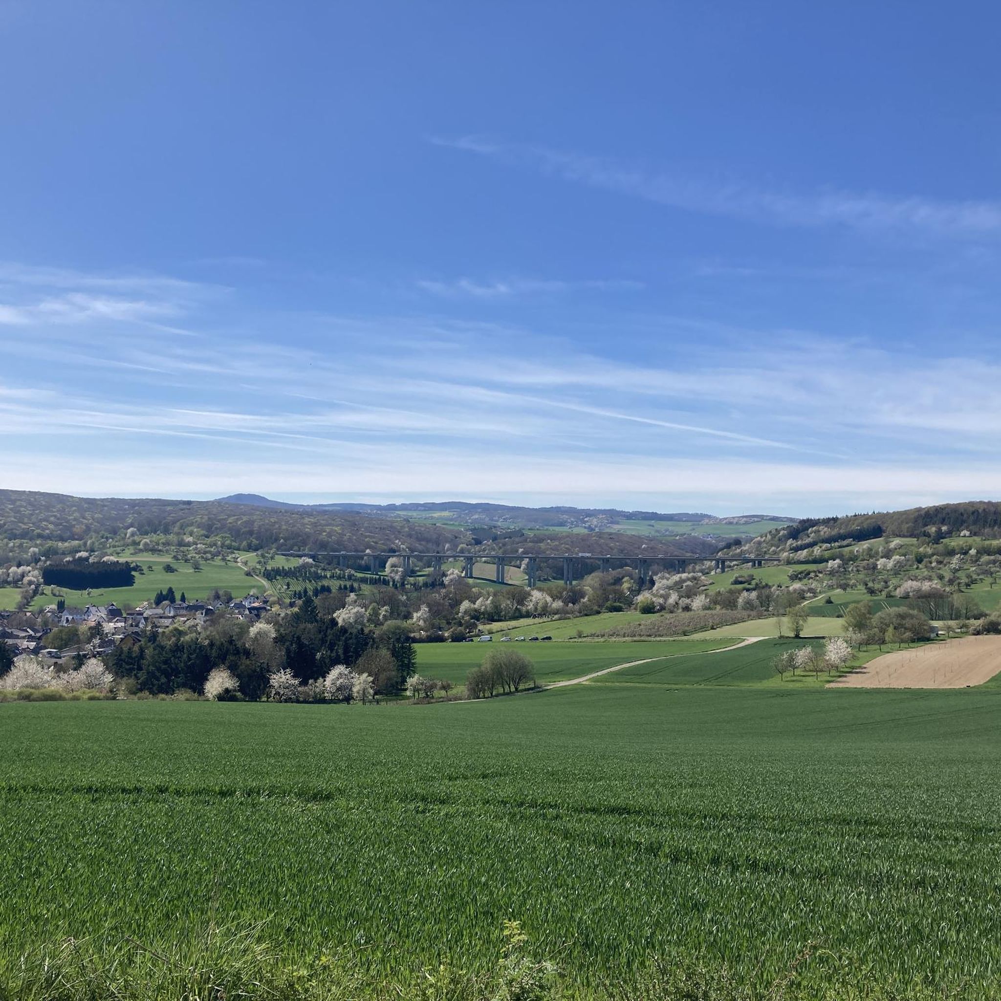
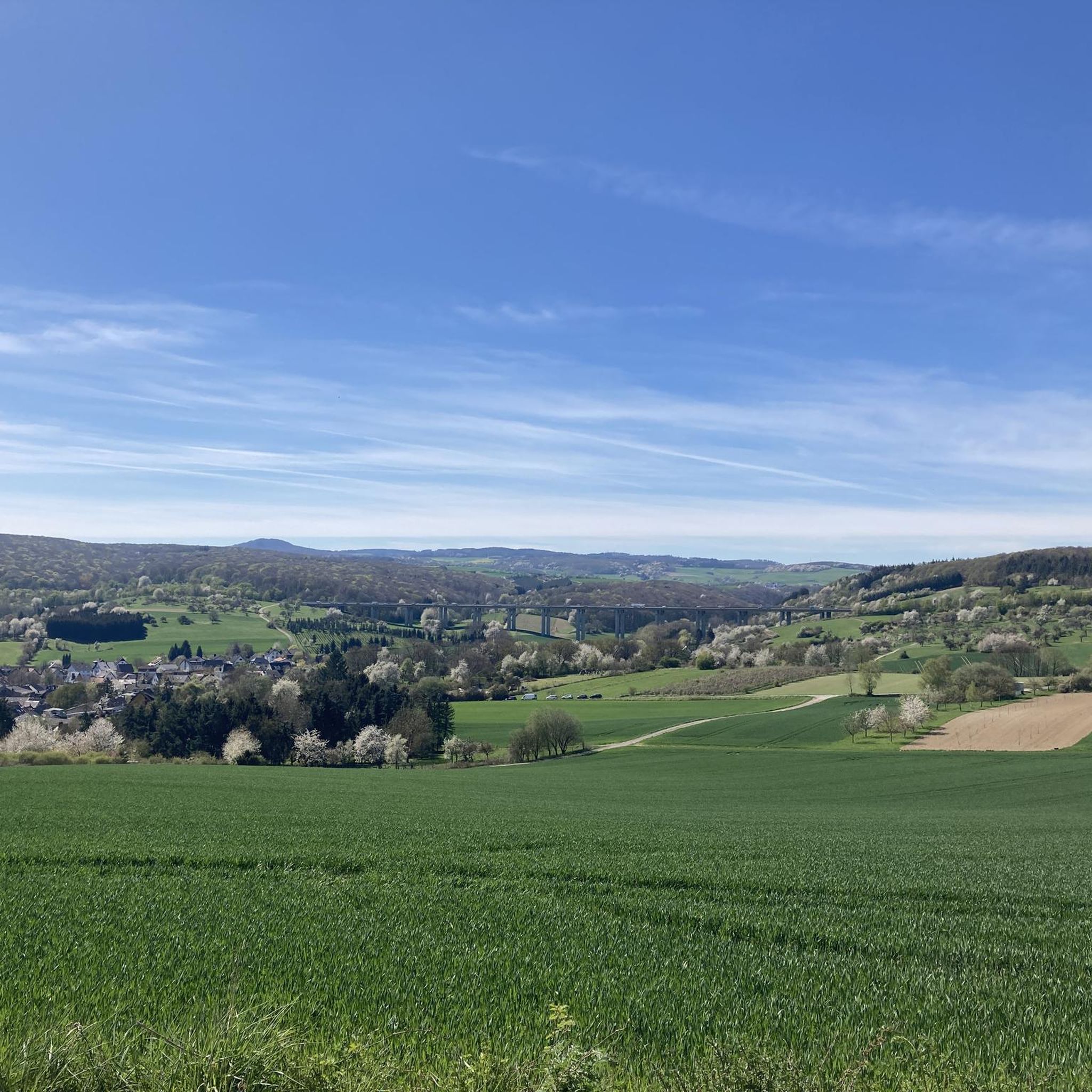
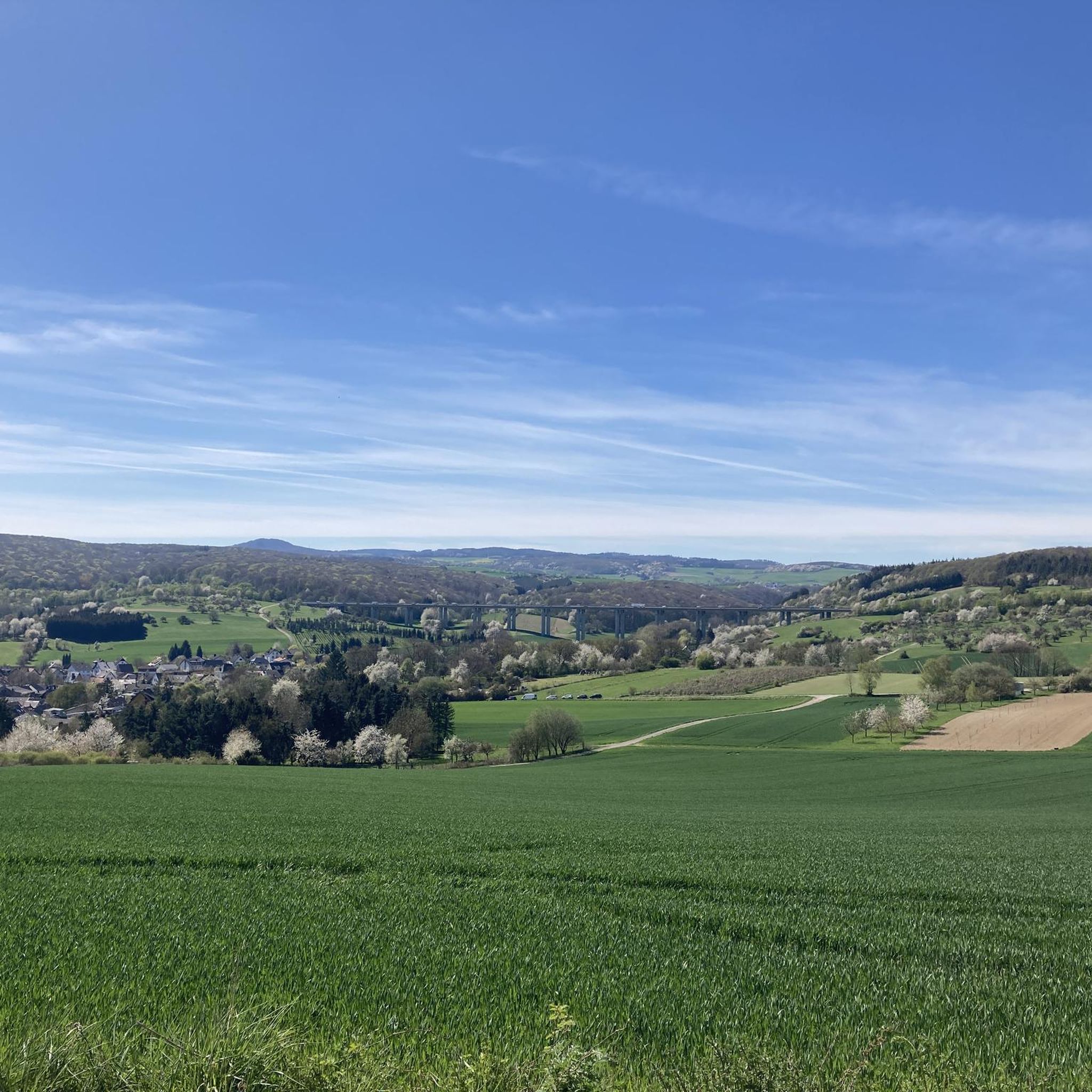
One of the few spots on this stage of the Rhine Castle Trail with a view of the Eifel Mountains and the volcanic cones. A glider airfield is located at the edge of the forest opposite.
1
0

Beautiful view of the maar and Olbrück Castle in the background
2
0
Glider airport with meadow runway.
2
0

East of Oberdürenbach lies the former basalt cone "Steinberg" (Steimerich), one of the three Tertiary volcanoes in the Brohltal. The quality of the basalt rock was excellently suited for road construction (cobblestones), as track ballast or as basalt chippings. As early as 1870, there were interested parties who considered the industrial extraction of this natural treasure. In the 1920s, Steinhandel Rauen AG from Mühlheim/Ruhr acquired the concession for operating the quarry on the Steinberg in order to extract the coveted natural stone on a large scale. For this purpose, the company built a large gravel plant in Oberzissen in 1924. Initially, the material was transported there by horse-drawn and ox-drawn carts. From 1925 onwards, the construction of a cable car created a practical connection between the quarry and the gravel plant. Further transport of the stone material to the Rhine port in Brohl was carried out by the Brohltalbahn. From Brohl, the building material for road construction, for bank reinforcements on rivers, canals and the sea, continued to destinations at home and abroad by ship or Reichsbahn. After a short time, the hilltop disappeared. Over the years, the workers created an almost 75 m deep funnel with their pneumatic drills. In the process, they encountered two springs that yielded over 30 cubic meters per day. These water masses had to be pumped out every day before work began. During World War II, work on the Steimerich was stopped. In a very short time, the quarry filled with spring water. This created a lake of about one hectare with a water depth of up to 30 m. Even during the war, the clean water was used for swimming. The idea of reactivating the quarry in the 1950s was quickly abandoned. The Rauen company preferred to invest in the already existing quarry on the Hannebacher Ley... CONTINUATION and FURTHER INFORMATION: https://www.osteifel-aktiv.de/41527/41928.html
1
0
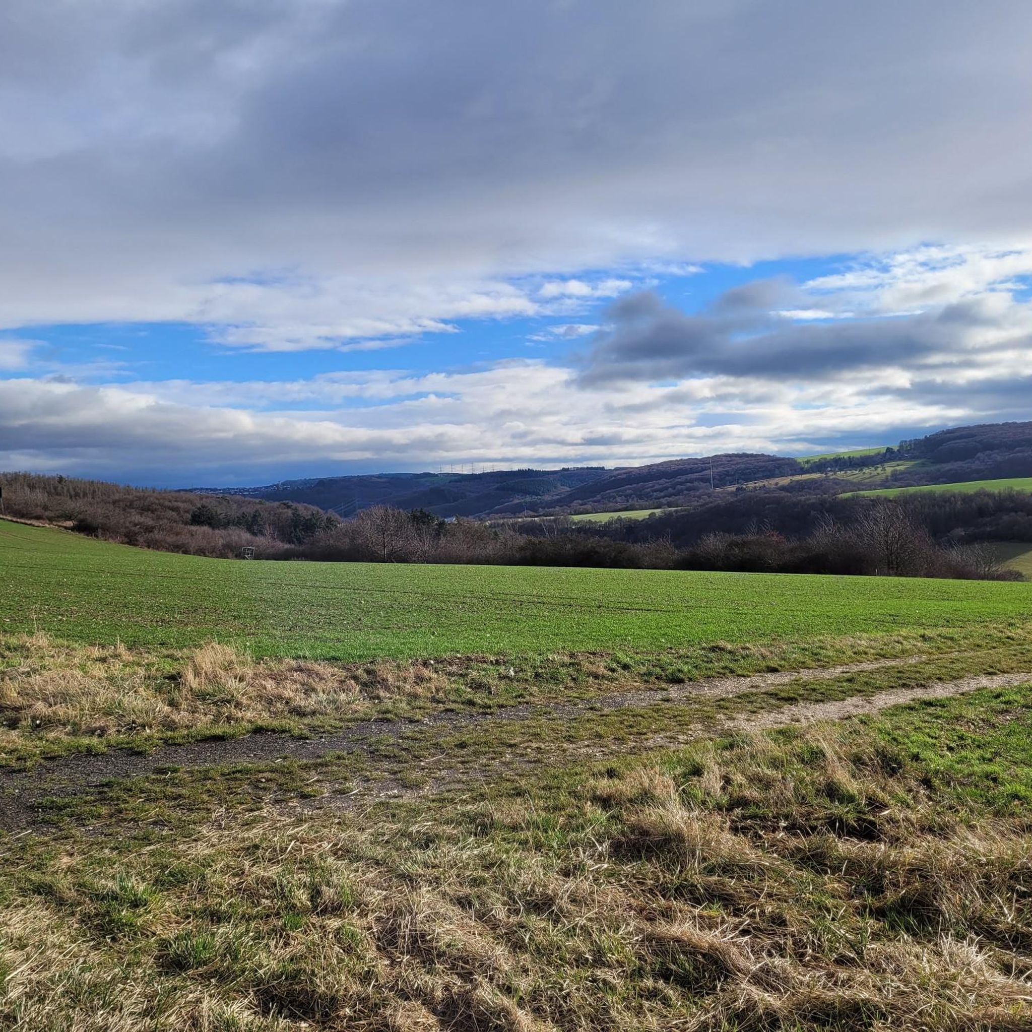
Beautiful! 👌 It is a little off the main path and can be reached via a narrow meadow path. But the little detour is definitely worth it! 😃
0
0
Frequently Asked Questions
What types of terrain can I expect on running routes around Waldorf?
Jogging routes around Waldorf offer a diverse range of terrain. You'll find well-maintained paths, including paved rail trails like the Indian Head Rail Trail, and natural surface trails winding through extensive wooded areas. Many routes feature scenic lakes and river views, providing a varied experience from easy, flat paths to more rugged, natural trails.
Are there many easy running routes for beginners in Waldorf?
Yes, Waldorf offers a good selection of easy running routes suitable for beginners. Out of nearly 300 routes, 31 are classified as easy. For example, the Mönchsheide Glider Airfield loop from Waldorf is an easy 3.0-mile (4.8 km) trail that leads through open areas and can be completed in about 30 minutes.
What are some scenic running trails with natural features in the Waldorf area?
The Waldorf area is rich in natural beauty. You can find scenic routes through Cedarville State Forest, which features 19.5 miles of trails through pine and deciduous trees, often with bridges over streams. The Indian Head Rail Trail offers views of farmland, natural wetlands, and mature forests. For dramatic cliffs and river views, consider trails at Fort Washington Park, such as the Swan Creek Perimeter Trail.
Are there any running routes in Waldorf that are suitable for families or strollers?
For families and those with strollers, paved trails are often the best choice. The 13-mile Indian Head Rail Trail is a flat, paved option offering scenic views. Additionally, local parks like Pinefield Community Park provide serene environments with lush greenery and well-maintained trails that are generally suitable for leisurely runs or walks with a stroller.
Can I bring my dog on the jogging trails in Waldorf?
Many trails in the Waldorf area are multi-use and generally dog-friendly, provided your dog is on a leash. Cedarville State Forest, for instance, has numerous trails where dogs are welcome. Always check specific park regulations before heading out, but generally, natural surface trails in parks and forests are good options for running with your canine companion.
What kind of landmarks or points of interest can I see while jogging around Waldorf?
While jogging around Waldorf, you might encounter various points of interest. Some routes could lead you near natural attractions like the Waterfall in the Wolfsschlucht or the Wolf Gorge Waterfall and Trass Cliffs. You might also find historical sites or viewpoints, such as those offering views of the Potomac River from Fort Washington Park.
Are there many loop running trails available in Waldorf?
Yes, many of the running routes in Waldorf are designed as loops, which are popular for their convenience. For example, the View of Mönchsheide – Mönchsheide Glider Airfield loop from Waldorf is a popular 4.3-mile (6.9 km) loop. Another favorite is the Gutshof Zur Mönchsheide Airfield – Mönchsheide Glider Airfield loop from Waldorf, a moderate 4.0-mile (6.5 km) path.
What do other runners enjoy most about the jogging routes in Waldorf?
The running routes in Waldorf are highly rated by the komoot community, with an average score of 4.4 stars from over 600 reviews. Runners often praise the diverse terrain, from wooded areas to scenic lakes and river views, and appreciate the variety of options suitable for different ability levels. The well-maintained paths and natural settings are frequently highlighted as key attractions.
What is the typical length of running trails in Waldorf?
The running trails in Waldorf vary significantly in length to suit different preferences. For instance, you can find shorter loops like the Mönchsheide Glider Airfield loop from Waldorf at 3.0 miles (4.8 km), or longer options such as the 13-mile Indian Head Rail Trail. The average distance for routes in the area is around 4-5 miles, offering a good balance for most runners.
Are there options for running in winter around Waldorf?
While specific winter trail conditions can vary, many of Waldorf's trails remain accessible in winter. Paved paths like the Indian Head Rail Trail are often easier to navigate. For natural surface trails, be mindful of potential ice or snow. The wooded areas can offer a beautiful, serene running experience during the colder months, but always check local conditions before heading out.
Where can I find parking for running trails in Waldorf?
Many parks and trailheads in and around Waldorf offer designated parking areas. For example, Cedarville State Forest and Fort Washington Park have visitor parking. While specific parking details for every route aren't always listed, most regional parks and popular trail access points are equipped with facilities for visitors arriving by car.
How many running routes are available in the Waldorf area?
There are over 290 running routes available in the Waldorf area, catering to a wide range of preferences and fitness levels. This extensive network includes routes through local parks, state forests, and along scenic rail trails, ensuring plenty of options for every runner.
Most popular attractions around Waldorf

Get inspired with the komoot mobile app


Explore more
Browse the best Running Trails & Routes in other regions.
