The best mountain hikes around Schuld
4.7
(48)
107
hikers
1
hike
Mountaineering routes around Schuld are characterized by the rugged terrain of the Ahr Valley, featuring forested hills, rocky outcrops, and significant elevation changes. The region offers challenging ascents and descents through varied landscapes. These routes often lead to prominent summits, providing expansive views of the surrounding Eifel region. The area's geology contributes to diverse trails suitable for experienced mountaineers.
Best mountaineering routes around Schuld
- The most popular mountaineering route is Teufelsley summit – Engelsley Summit Cross loop from Altenahr,…
Last updated: August 11, 2026
4.8
(13)
33
hikers
5.81km
01:56
170m
170m
Hard mountaineering route. Great for any fitness level. Sure-footedness, sturdy shoes and alpine experience required.
4.5
(13)
35
hikers
14.3km
04:39
550m
550m
Hard mountaineering route. Good fitness required. Sure-footedness, sturdy shoes and alpine experience required.

Sign up for free
4.9
(16)
22
hikers
16.6km
05:33
660m
660m
Hard mountaineering route. Very good fitness required. Sure-footedness, sturdy shoes and alpine experience required.
4.7
(3)
11
hikers
16.5km
05:02
510m
510m
Hard mountaineering route. Very good fitness required. Sure-footedness, sturdy shoes and alpine experience required.
4.5
(2)
4
hikers
18.7km
05:55
660m
660m
Hard mountaineering route. Very good fitness required. Sure-footedness, sturdy shoes and alpine experience required.
Our route recommendations are based on thousands of hikes, rides, and runs completed by other people on komoot.
Start today with a free account
Your next adventure awaits.
Login or Signup
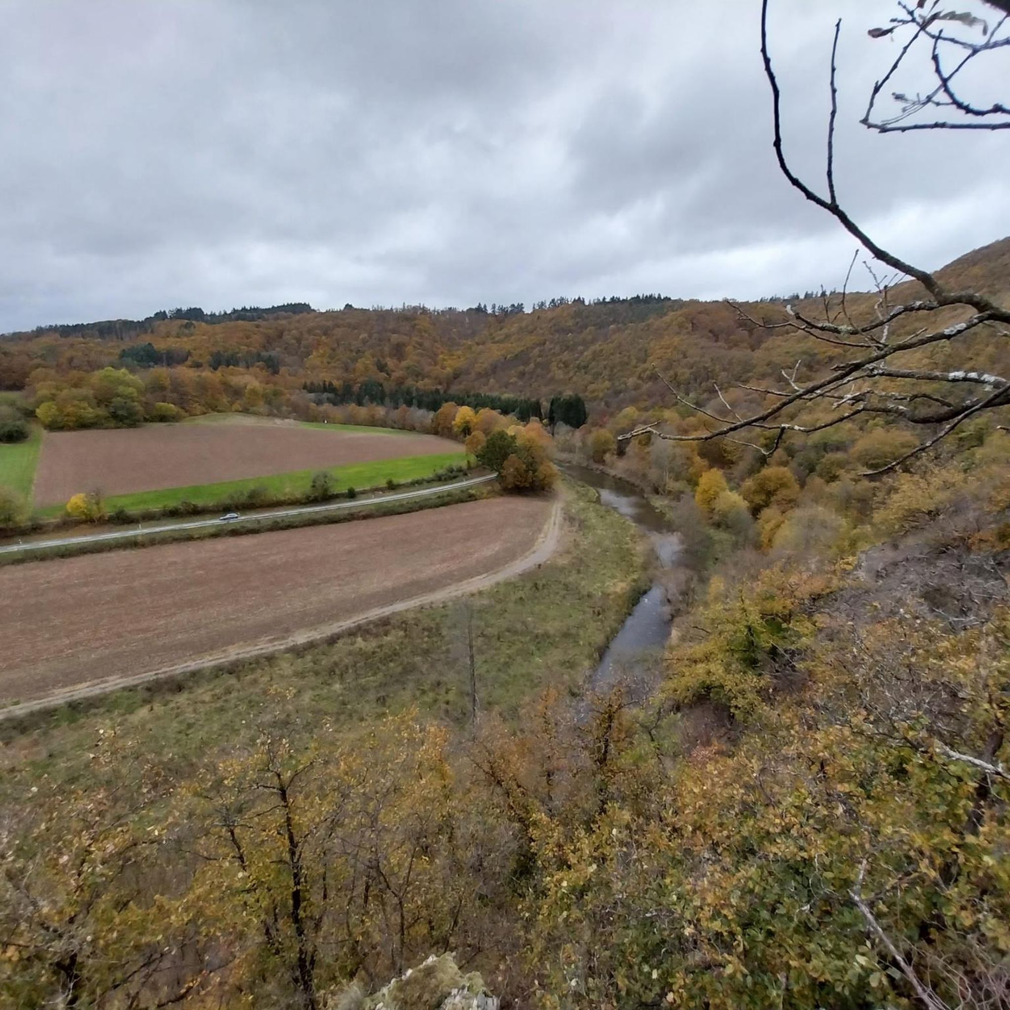
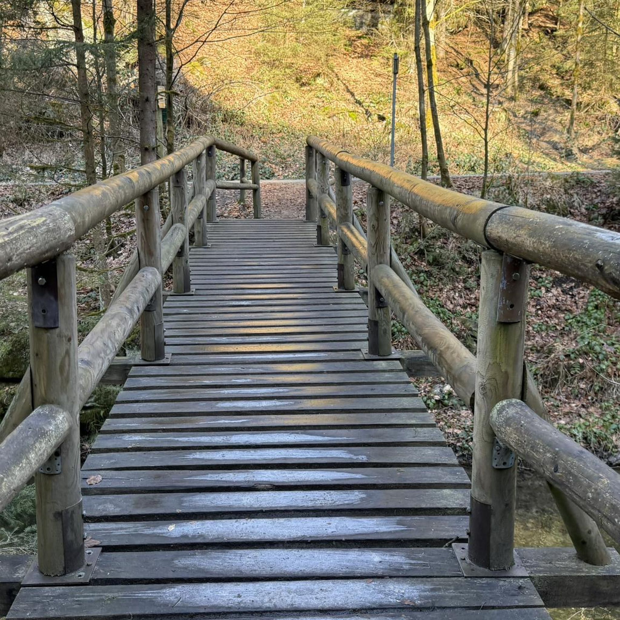
Tips from the Community

During wine week there will be a wine kiosk here and you can buy a holder to put your wine glass in 😀
17
1
The devil once went to the Ahr valley and was so pleased with the land and its people, but especially the excellent red wine, that he forgot his way home. One day, while he was resting on the mountain opposite Are Castle, his grandmother approached him in the form of a beautiful girl. In the arms of the lovesick devil, she quickly changed back into the disgusting old woman he knew all too well. Angrily, he grabbed his grandmother and threw her back through the rock face into hell. This is how the Teufelsloch came into being, which can still be seen above Altenahr today.
20
0

Really alpine trail with easier climbing sections, not always very stable rock and sometimes finding the way requires a bit of intuition.
4
0

The dwarf or angel hole at Engelsley is significantly smaller and more difficult to reach than the devil's hole. The Engelsley is not suitable for inexperienced hikers!
1
0

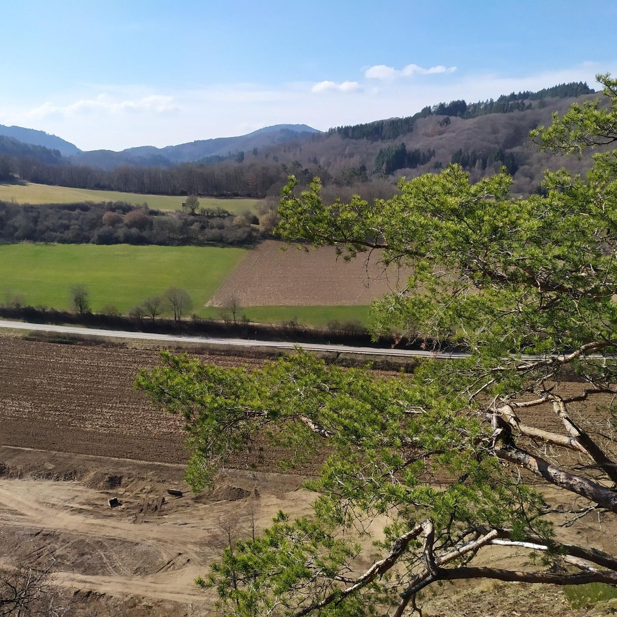
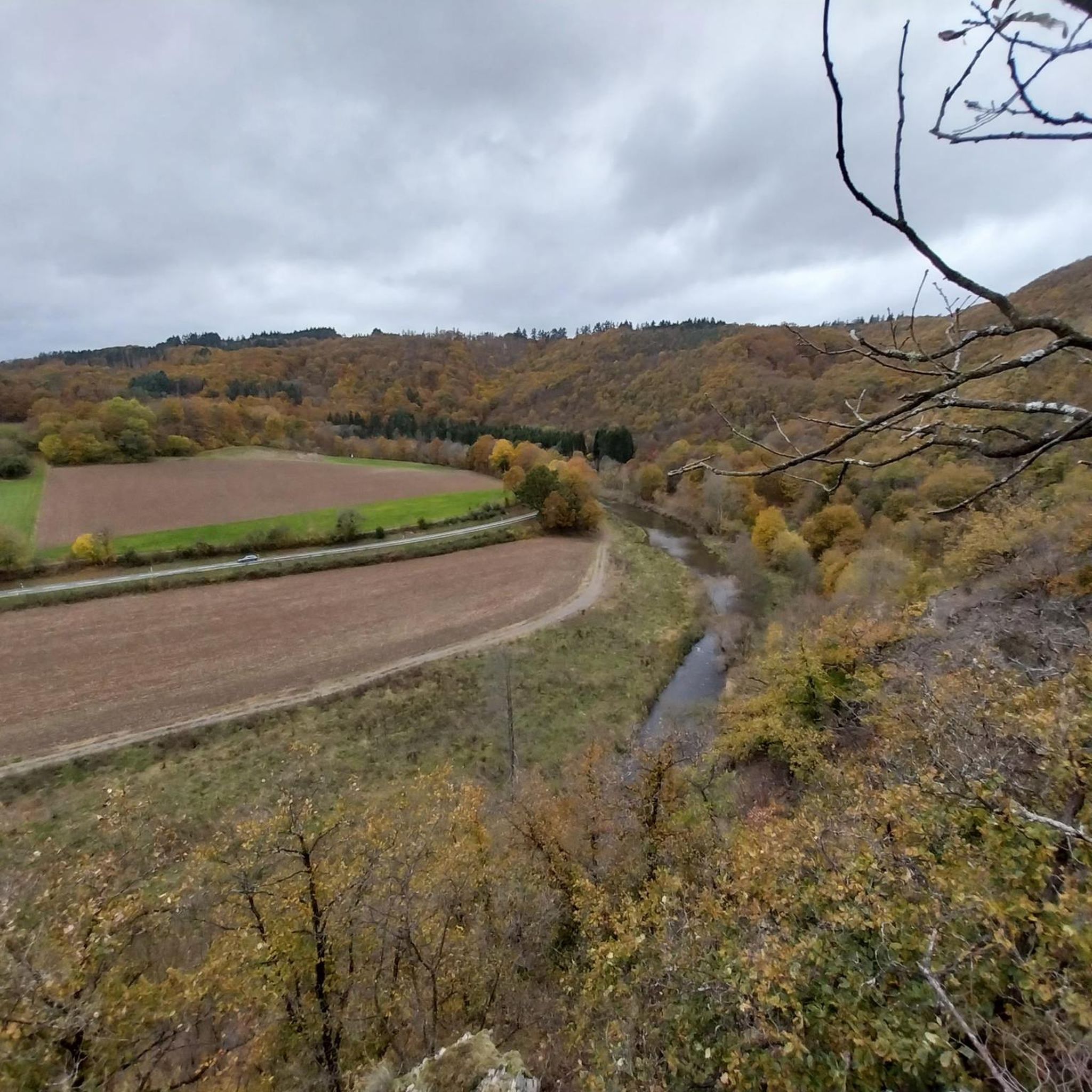
The attentive hiker will not have missed the Stations of the Cross lining the path. At this viewpoint far above the river, which offers a beautiful view into the Ahrtal valley, I would therefore like to recall a fitting thought from the Bishop of Innsbruck, Reinhold Stecher (*1921, + 2013), who felt very connected to nature and the mountains throughout his life, because he saw in them God's wonderful creation, which was entrusted to us humans. „Silence is the invitation to deeper humanity.“
20
1

Since the original staircase including the attachment to the shore was washed away by the tide, you have to climb down the stones.
0
0
Not as well known as his "brother". However, the Engelsley is only for experienced mountaineers, not hikers!
0
0
The Teufelsley (T4, partly T5) & Engelsley (T5) are tightrope walks. The flooring is mainly rock; also larger boulders. Both have a good grip (but sometimes have sharp edges), provided it is dry. At the Engelsley, the scree is a little smaller/loose and thus the sure-footedness decreases! Since these are difficult mountain/alpine trails (>T4), there are no safety devices (climbers usually secure themselves). -> For this reason, clear advice on my part: Grds ONLY to do when the ground is dry (i.e. no rain the day before) and/or when there are not too many leaves on the rock (autumn). The direction is also important: The ridges are naturally narrow and especially on the Engelsley, there are no alternatives to/from the summit. Unfortunately, I followed the planned tour without prior checking and was lucky. On the Teufelsey, the other 3 people also went in the same direction; I was alone on the Engelsley and can therefore not judge it. -> Grds I advise: from south to north Engelsley: This tightrope walk is no problem for experienced mountaineers (I deliberately avoid the word hiker) with the appropriate previous knowledge and possibly equipment. Summit book is available. -> Komoot warning: Parts of your route are very dangerous The route may contain very technical, difficult or dangerous terrain. Special equipment and previous knowledge are absolutely necessary.
5
1
Frequently Asked Questions
What is the typical difficulty level for mountaineering routes around Schuld?
The mountaineering routes in the Schuld area are generally considered difficult, featuring significant elevation changes and varied terrain. They are best suited for experienced mountaineers seeking a challenge.
Are there any easier or family-friendly mountaineering options in Schuld?
The routes highlighted in this guide are primarily challenging and rated as difficult, making them less suitable for beginners or young families. The rugged terrain of the Ahr Valley, with its steep ascents and descents, requires a good level of fitness and experience. For easier walks, you might consider exploring other hiking guides in the wider Eifel region.
What is the best time of year to go mountaineering in Schuld?
The best time for mountaineering in Schuld is typically from spring to autumn (April to October). During these months, the weather is generally more stable, and the trails are clear of snow and ice. Autumn offers particularly beautiful scenery with vibrant fall foliage. Winter mountaineering is possible but requires appropriate gear and caution due to potentially icy conditions.
Are there any circular mountaineering routes around Schuld?
Yes, many of the mountaineering routes in the Schuld area are designed as circular walks. For example, the challenging Teufelsley summit – Engelsley Summit Cross loop from Altenahr and the Devil's Hole – Teufelsley summit loop from Kesseling are both popular circular options, allowing you to start and end at the same point.
What kind of views can I expect on these mountaineering routes?
Mountaineering routes around Schuld often lead to prominent summits and exposed viewpoints, offering expansive panoramic views of the surrounding Eifel region and the picturesque Ahr Valley. You'll encounter diverse landscapes, from dense woodlands to rocky outcrops.
What kind of gear should I bring for mountaineering in Schuld?
Given the difficult nature of these routes, it's essential to come prepared. We recommend sturdy hiking boots with good ankle support, appropriate weather-resistant clothing (layers are key), sufficient water and snacks, a map or GPS device, and a first-aid kit. Trekking poles can also be very helpful on steep ascents and descents.
Are there any interesting landmarks or attractions to see along the routes?
While focusing on the natural beauty, some routes pass near historical sites. For example, you might encounter views of ancient ruins or unique rock formations. The wider region also features attractions like Are Castle Ruins or the Aremberg Castle Tower, which can be explored as separate excursions.
Are there places to eat or drink near the mountaineering trails?
Many of the routes start or pass through villages like Altenahr, Kesseling, or Ahrbrück. These towns typically offer various options for refreshments, from traditional German Gasthäuser to cafes, where you can refuel before or after your mountaineering adventure.
Do I need a permit for mountaineering in the Schuld area?
No, generally you do not need a special permit for mountaineering or hiking on the marked trails in the Schuld area. However, always respect local regulations, stay on designated paths, and be mindful of private property and nature conservation areas.
What do other mountaineers enjoy most about the routes in Schuld?
The mountaineering routes in Schuld are highly rated by the komoot community, with an average score of 4.7 stars. Reviewers often praise the challenging ascents, the rewarding panoramic views from the summits, and the varied terrain that keeps the experience engaging. Many appreciate the feeling of accomplishment after completing these demanding trails.
Are there any lakes or swimming spots near the mountaineering routes?
While the primary focus of these routes is mountain terrain, the broader region around Schuld does feature some beautiful water bodies. You can find highlights such as the Hoffelder Kopp Quarry Lake or the Hidden Basalt Lake. However, always check local regulations regarding swimming, as not all natural water bodies are open for public bathing.
Where can I find parking for these mountaineering routes?
Many of the mountaineering routes, such as the Teufelsley summit – Altenahrer Eck loop from Altenahr, begin in or near towns like Altenahr, Kesseling, or Ahrbrück. These locations typically offer public parking facilities, often near trailheads or town centers. It's advisable to check specific starting points for parking availability before your trip.
Most popular attractions around Schuld

Get inspired with the komoot mobile app


Explore more
Browse the best Mountain Hikes & Routes in other regions.
