The best road cycling routes around Montsecret-Clairefougère
4.3
(62)
2,163
riders
358
rides
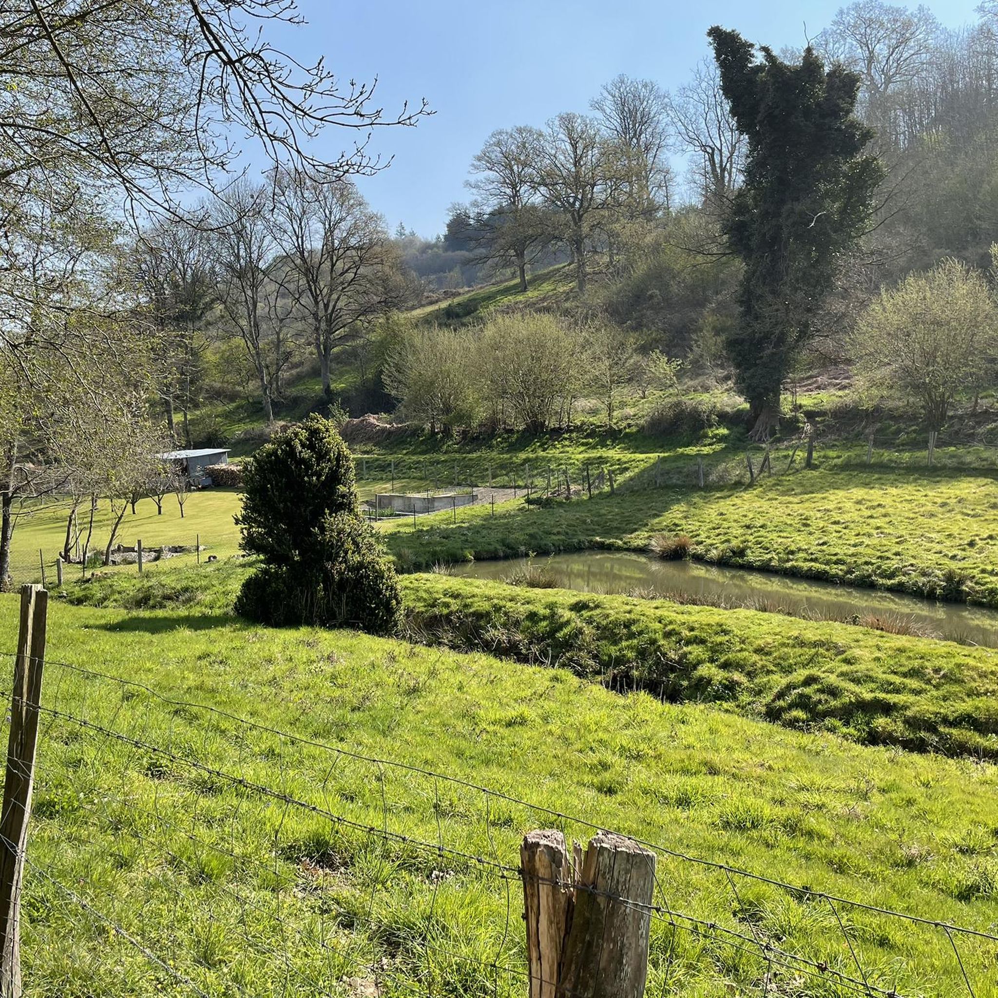
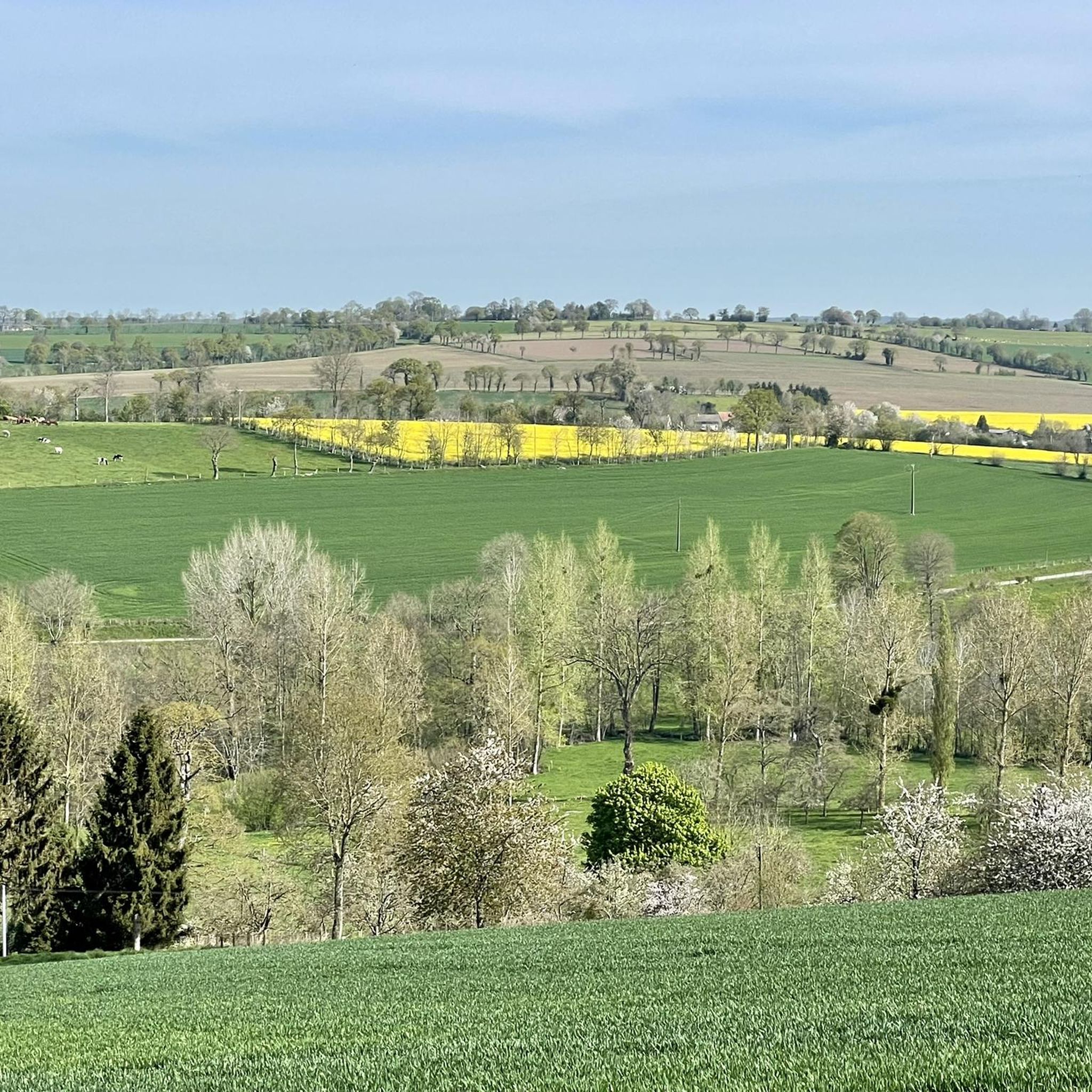
Road cycling routes around Montsecret-Clairefougère traverse a naturally preserved environment characterized by green valleys, forests, and picturesque villages. The terrain offers varied experiences, including gentle ascents and descents, with altitudes ranging from 115 to 242 meters. This area provides a network of roads suitable for exploring the region's bucolic landscapes and natural features.
Best road cycling routes around Montsecret-Clairefougère
- The most popular road cycling route is Château de Pontécoulant – Vallon de la Vère loop from Montsecret-Clairefougère, a 29.4…
Last updated: July 29, 2026
20
riders
52.5km
02:20
490m
490m
Moderate road ride. Good fitness required. Mostly well-paved surfaces and easy to ride.
3.0
(1)
20
riders
Moderate road ride. Good fitness required. Mostly well-paved surfaces and easy to ride.

Sign up for free
20
riders
66.7km
03:26
1,070m
1,080m
Hard road ride. Very good fitness required. Mostly well-paved surfaces and easy to ride.
11
riders
65.1km
03:16
840m
840m
Moderate road ride. Good fitness required. Some segments of this route may be unpaved and difficult to ride.
4.5
(2)
8
riders
31.4km
01:26
340m
340m
Moderate road ride. Good fitness required. Mostly well-paved surfaces and easy to ride.
Get access to more routes and recommendations from other explorers.
Sign up for free
Already have an account?
Our route recommendations are based on thousands of hikes, rides, and runs completed by other people on komoot.
Start today with a free account
Your next adventure awaits.
Login or Signup


Tips from the Community

beautiful stained glass windows in this church which was spared by the bombings
0
0


A male tree and a female tree with trunks 11m in circumference.
0
0

A jewel of Swiss Normandy, a 16th century residence with an English garden. You will also admire the small road typical of the Normandy bocage.
0
0

The highest waterfall in the west of France
1
0
FYI the white abbey of Mortain is no longer accessible to the public. It has become private and the GR no longer passes through the abbey
3
0

The viewpoint offers a superb panoramic view of the region. Accessible with or without a bicycle. A great spot for sunrise or sunset! Be careful, the steps can be slippery!
0
0
Frequently Asked Questions
How many road cycling routes are available in Montsecret-Clairefougère?
There are over 370 road cycling routes around Montsecret-Clairefougère, offering a wide range of options for various skill levels and preferences.
What kind of terrain can I expect when road cycling around Montsecret-Clairefougère?
The region features a naturally preserved environment with green valleys, forests, and picturesque villages. You can expect varied terrain, including gentle ascents and descents, with altitudes ranging from 115 to 242 meters. For more challenging, hilly landscapes, the nearby "Suisse Normande" region is also accessible.
Are there road cycling routes suitable for beginners or those looking for an easier ride?
Yes, Montsecret-Clairefougère offers 33 easy road cycling routes. These routes typically feature less elevation gain and shorter distances, making them ideal for a relaxed ride.
What are some scenic highlights or viewpoints I can discover on a road bike?
Road cycling routes in the area often pass through picturesque villages and offer views of green valleys and forests. A notable natural highlight is the Roche d'Oëtre, which provides breathtaking views over the luxuriant gorges of the Rouvre river. You might also encounter historical paths like the "Chemin du Noireau".
Are there any interesting landmarks or attractions near the cycling routes?
Yes, several interesting landmarks are accessible. You could visit the Château de Flers, explore the Mont de Cerisy and its Castle Ruins, or see the unique Millennial Yew of Estry.
What is the best time of year for road cycling in Montsecret-Clairefougère?
The region's bucolic environment and varied terrain are enjoyable throughout the warmer months. Spring and autumn offer pleasant temperatures and beautiful scenery, while summer provides longer daylight hours for extended rides through the green valleys and forests.
Are there any circular road cycling routes available?
Yes, many routes in the area are designed as loops. For example, the Château de Pontécoulant – Vallon de la Vère loop from Montsecret-Clairefougère is a popular moderate circular route covering 29.4 miles (47.3 km).
What do other road cyclists enjoy most about cycling in Montsecret-Clairefougère?
The area is highly rated by the komoot community, with an average score of 4.4 stars from over 50 reviews. Cyclists often praise the region's naturally preserved environment, the variety of terrain, and the scenic routes through green valleys and picturesque villages.
Are there challenging routes for experienced road cyclists?
Absolutely. There are 75 difficult road cycling routes in the area. An example is the Chapelle Saint-Rémi – Chaulieu Viewpoint loop from Tinchebray, a 41.7-mile (67.1 km) route with a significant elevation gain of 3,254 feet (992 m).
Can I find routes that pass through the Vallon de la Vère?
Yes, the Vallon de la Vère is a popular and scenic area for road cycling. Routes like the Chapelle Saint-Rémi – Vallon de la Vère loop from Tinchebray offer beautiful views as they traverse this valley.
Are there options for longer road cycling tours in the region?
Yes, the region offers numerous longer routes. For instance, the The upper Sée valley – La Grande Cascade de Mortain loop from Tinchebray is a moderate 40.2-mile (64.6 km) route, providing a substantial ride through varied landscapes.
Most popular routes around Montsecret-Clairefougère
Most popular attractions around Montsecret-Clairefougère

Get inspired with the komoot mobile app


Explore more
Browse the best Road cycling routes in other regions.
