The best road cycling routes around Val-Revermont
4.5
(101)
3,223
riders
32
rides
Road cycling routes around Val-Revermont are situated at the foot of the Revermont mountains, which form the western foothills of the Jura massif. This region features calcareous reliefs and a dynamic terrain with both challenging climbs and scenic routes. The landscape includes sunny slopes traversing forests, meadows, and dry grasslands, alongside unique geological formations like "reculées" (blind valleys). Higher peaks such as Mont Myon (666 meters) and Mont Nivigne (768 meters) contribute to the varied elevation.
Best road cycling routes…
Last updated: October 7, 2026
100
riders
51.0km
02:41
830m
830m
Moderate road ride. Good fitness required. Mostly well-paved surfaces and easy to ride.
5.0
(2)
47
riders
77.7km
03:39
800m
800m
Moderate road ride. Good fitness required. Mostly well-paved surfaces and easy to ride.

44
riders
77.5km
03:26
650m
650m
Moderate road ride. Good fitness required. Mostly well-paved surfaces and easy to ride.
17
riders
54.1km
03:00
900m
900m
Hard road ride. Very good fitness required. Some segments of this route may be unpaved and difficult to ride.
3.0
(1)
14
riders
30.1km
01:41
600m
600m
Moderate road ride. Good fitness required. Some segments of this route may be unpaved and difficult to ride.
Get access to more routes and recommendations from other explorers.
Already have an account?
Our route recommendations are based on thousands of hikes, rides, and runs completed by other people on komoot.
Start today with a free account
Your next adventure awaits.
Tips from the Community

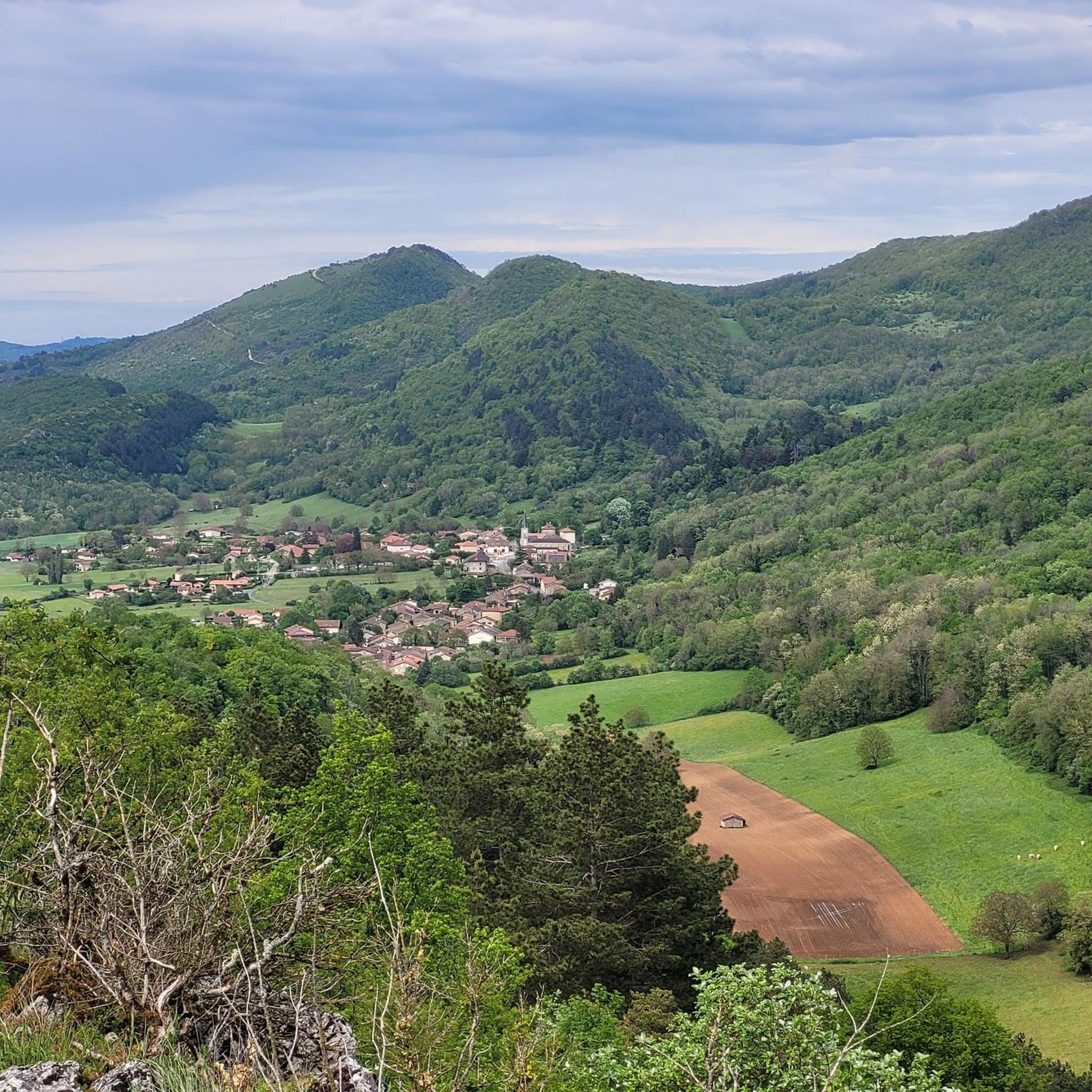
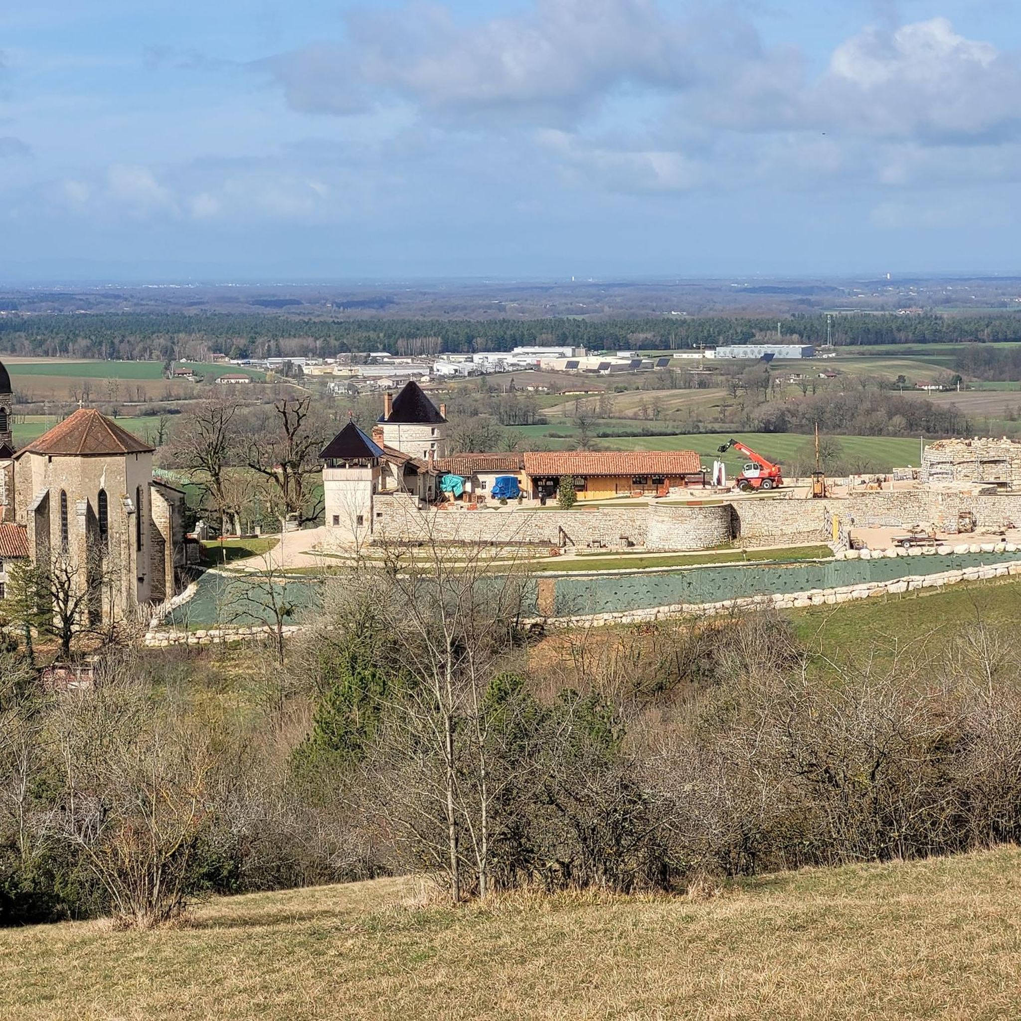
Nice view not far from Bouvent Park
0
0


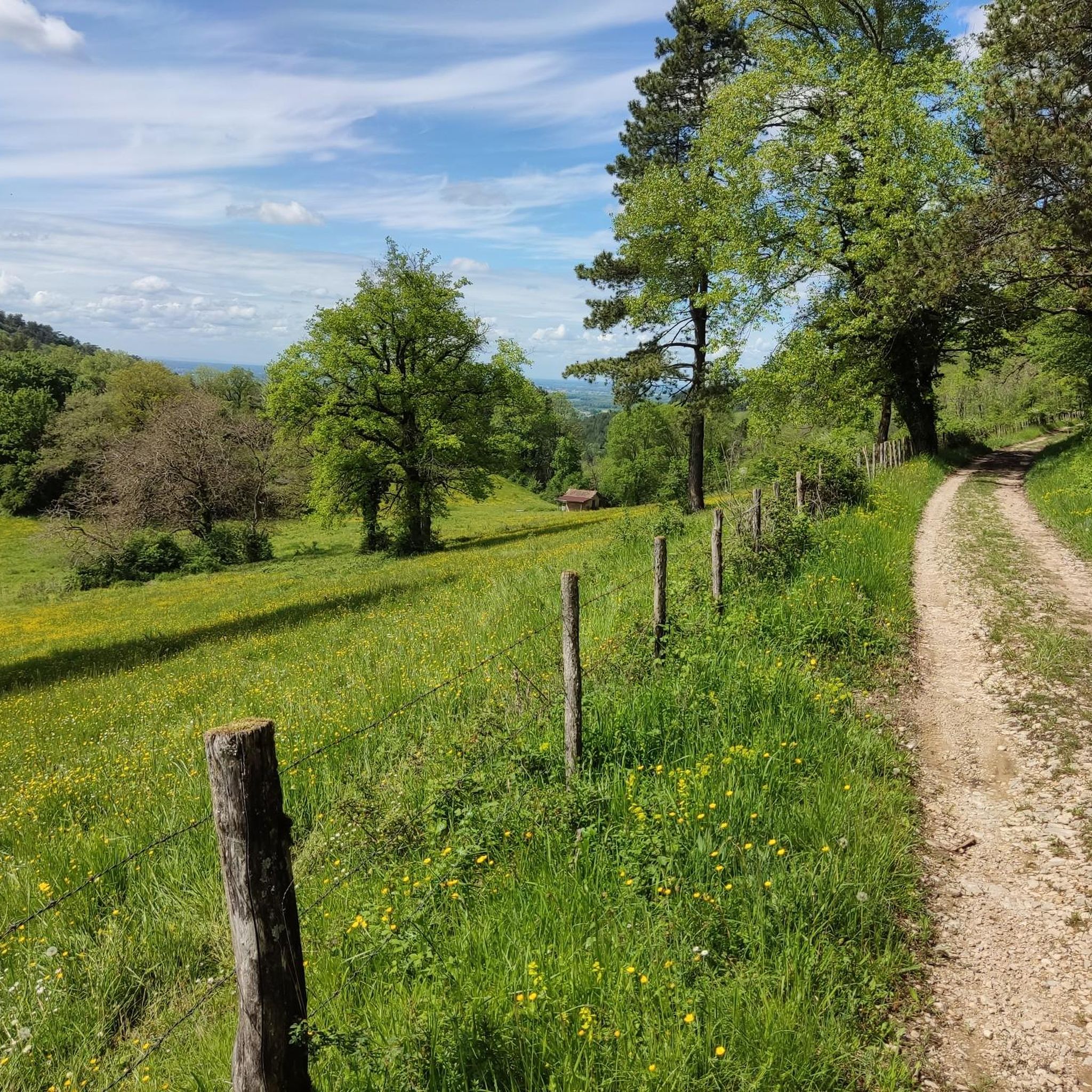
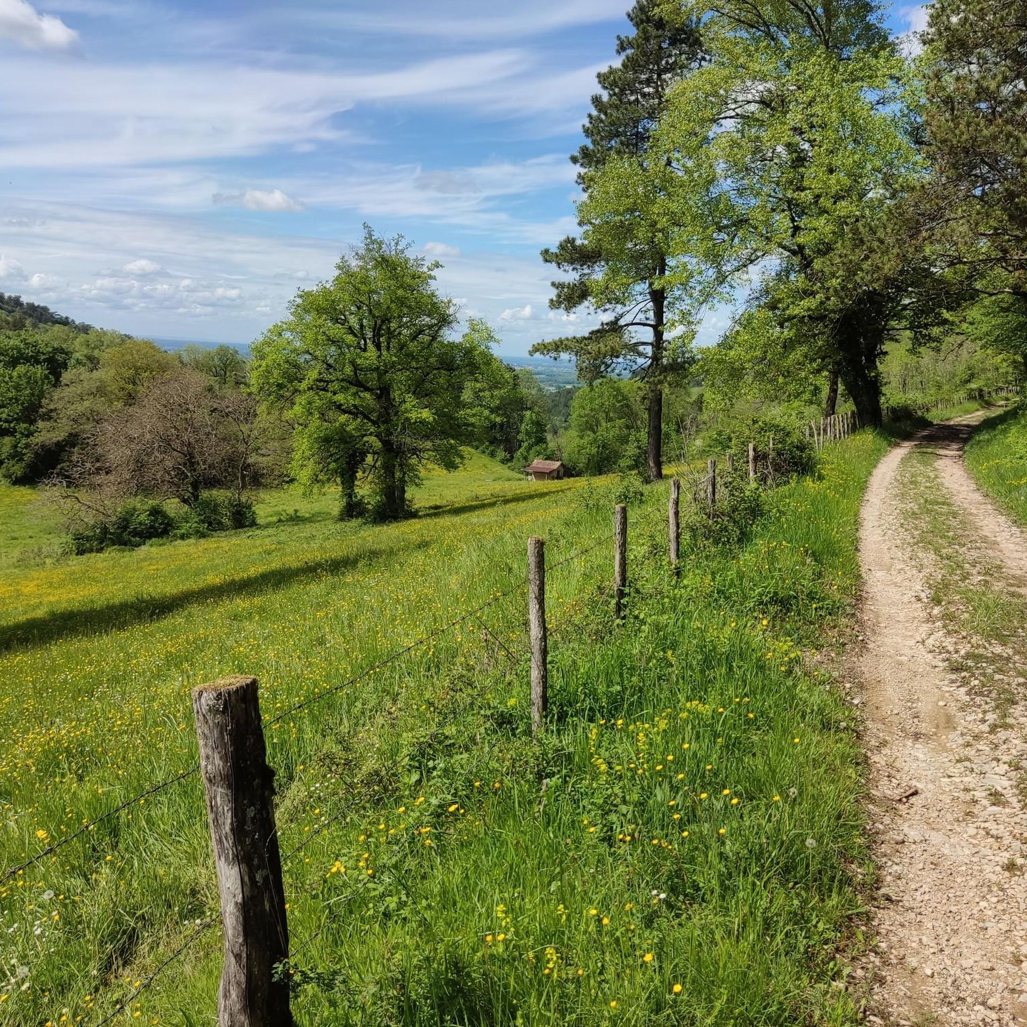
good shoes, lots of stone paths
0
0
Great route if you like climbing. Beautiful sections with gradients over 10% 🥵
0
0
beautiful unobstructed view towards Bourg-en-Bresse
0
0


Frequently Asked Questions
How many road cycling routes are available in Val-Revermont?
Val-Revermont offers a diverse network of over 40 road cycling routes. These routes cater to various skill levels, with a good mix of moderate and challenging options.
What is the typical terrain and elevation gain for road cycling in Val-Revermont?
The terrain in Val-Revermont is dynamic, situated at the foot of the Revermont mountains, which are the western foothills of the Jura massif. You can expect calcareous reliefs, sunny slopes, forests, meadows, and unique geological formations like "reculées" (blind valleys). Routes often feature significant climbs, with higher peaks like Mont Myon (666 meters) and Mont Nivigne (768 meters) contributing to varied elevation. For example, the Ascension du Mont July – Montmerle Ascent loop from Val-Revermont covers over 53 km with nearly 900 meters of elevation gain.
What are some notable landmarks or viewpoints I can expect to see along the road cycling routes?
As you cycle through Val-Revermont, you'll encounter various points of interest. Mont Myon is a prominent landmark known for its superb viewpoints. Other attractions include the Ruins of Jasseron Castle, the impressive Cize-Bolozon Viaduct, and the Jarbonnet Rocks which offer scenic vistas. The region's charming villages like Treffort, Cuisiat, and Pressiat also provide cultural stops.
Are there any family-friendly road cycling options in Val-Revermont?
While many routes in Val-Revermont feature moderate to difficult climbs due to the mountainous terrain, there are some easier options available. The region's extensive trail network includes routes suitable for different levels. For specific family-friendly road cycling routes, it's best to check individual route details on komoot for distance and elevation profiles to ensure they match your family's capabilities.
What is the best time of year for road cycling in Val-Revermont?
Val-Revermont, with its sunny slopes, is generally pleasant for road cycling from spring through autumn. The warmer months offer ideal conditions to explore the diverse landscapes of forests, meadows, and dry grasslands. Always check local weather forecasts before heading out, especially during shoulder seasons.
Where can I find parking for road cycling routes in Val-Revermont?
Many road cycling routes in Val-Revermont start from villages like Treffort, Cuisiat, or Pressiat, where public parking is typically available. The Grange du Pin Leisure Complex, a hub for outdoor activities, also serves as a starting point for many trails and likely offers parking facilities. It's advisable to check the starting point of your chosen route for specific parking information.
What do other road cyclists enjoy most about cycling in Val-Revermont?
The road cycling routes in Val-Revermont are highly rated by the komoot community, with an average score of 4.4 stars from over 9 reviews. Cyclists often praise the varied terrain, the challenging climbs, and the scenic loops that pass through picturesque villages and natural landscapes. The diversity of routes, from moderate to difficult, is also frequently highlighted.
Are there any cafes or accommodations suitable for cyclists in Val-Revermont?
Yes, the charming villages within Val-Revermont, such as Treffort, Cuisiat, and Pressiat, offer local amenities including cafes and restaurants where cyclists can refuel. The Grange du Pin Leisure Complex is also a hub for activities and likely provides facilities. For accommodation, you can find options in these villages or nearby towns that cater to visitors exploring the region.
Can I use public transport to access road cycling routes in Val-Revermont with my bike?
Public transport options in rural areas like Val-Revermont can be limited, and policies regarding bikes on buses or trains vary. It's recommended to check with local transport providers directly for their specific regulations on carrying bicycles. Often, driving to a starting point with your bike is the most convenient option.
What kind of challenges can I expect on the more difficult road cycling routes?
The more difficult road cycling routes in Val-Revermont, particularly those venturing into the higher elevations of the Revermont mountains, feature significant and sustained climbs. You can expect challenging gradients and long ascents, such as those found on the Grand-Corrent Climb – Simandre-sur-Suran loop from Treffort, which includes over 830 meters of elevation gain over 51 km. These routes are best suited for experienced cyclists seeking a strenuous workout and rewarding views.
Are there any natural monuments or unique geological features to explore while cycling?
Absolutely. The region is known for its unique geological formations, including "reculées" (blind valleys). You can also find natural monuments like the Grotte de Corveissiat, the Dinosaur Footprints of Villette, and the Cascade de la Pisse Vache. These offer interesting detours or points of interest along your ride.
What is the longest road cycling route available in Val-Revermont?
Among the longer routes, the Montmerle Ascent – Notre Dame des Conches loop from Cuisiat is a notable option, covering approximately 77.6 km with significant ascents. Another similar length route is the La Raza Campsite – Simandre-sur-Suran loop from Cuisiat, at about 77.5 km, leading through diverse landscapes and villages.
Most popular attractions around Val-Revermont

Get inspired with the komoot mobile app


Explore more
Browse the best Road cycling routes in other regions.
