The best walks and hikes around Aime-La-Plagne
4.4
(512)
5,453
hikers
86
hikes
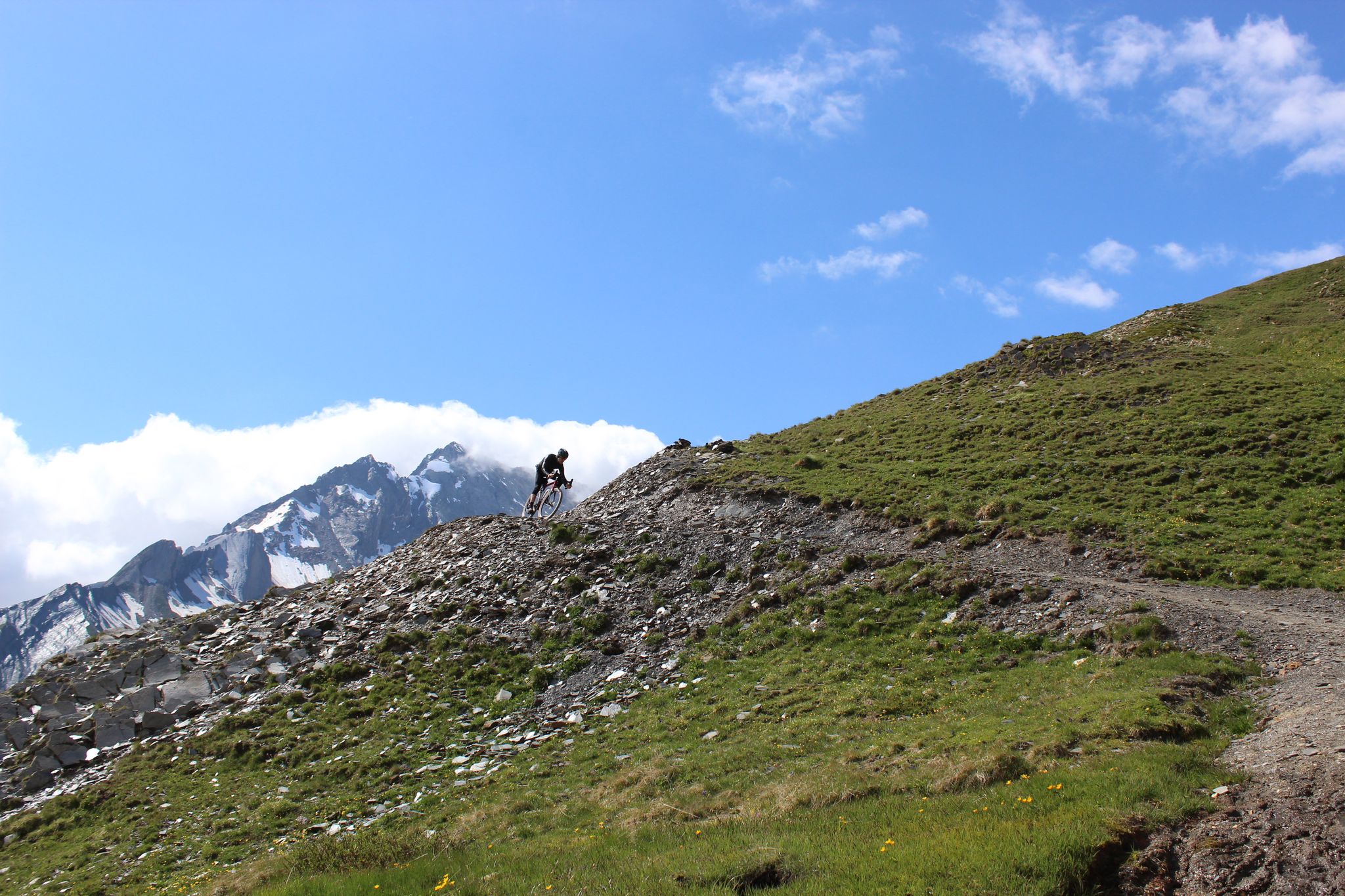
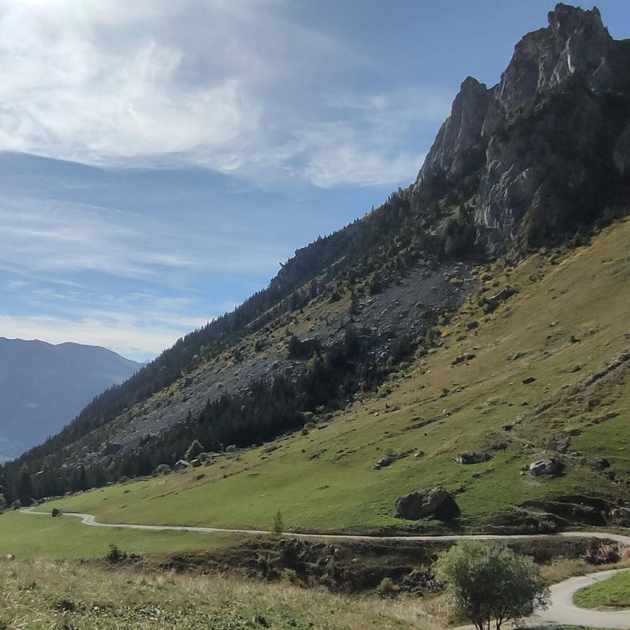
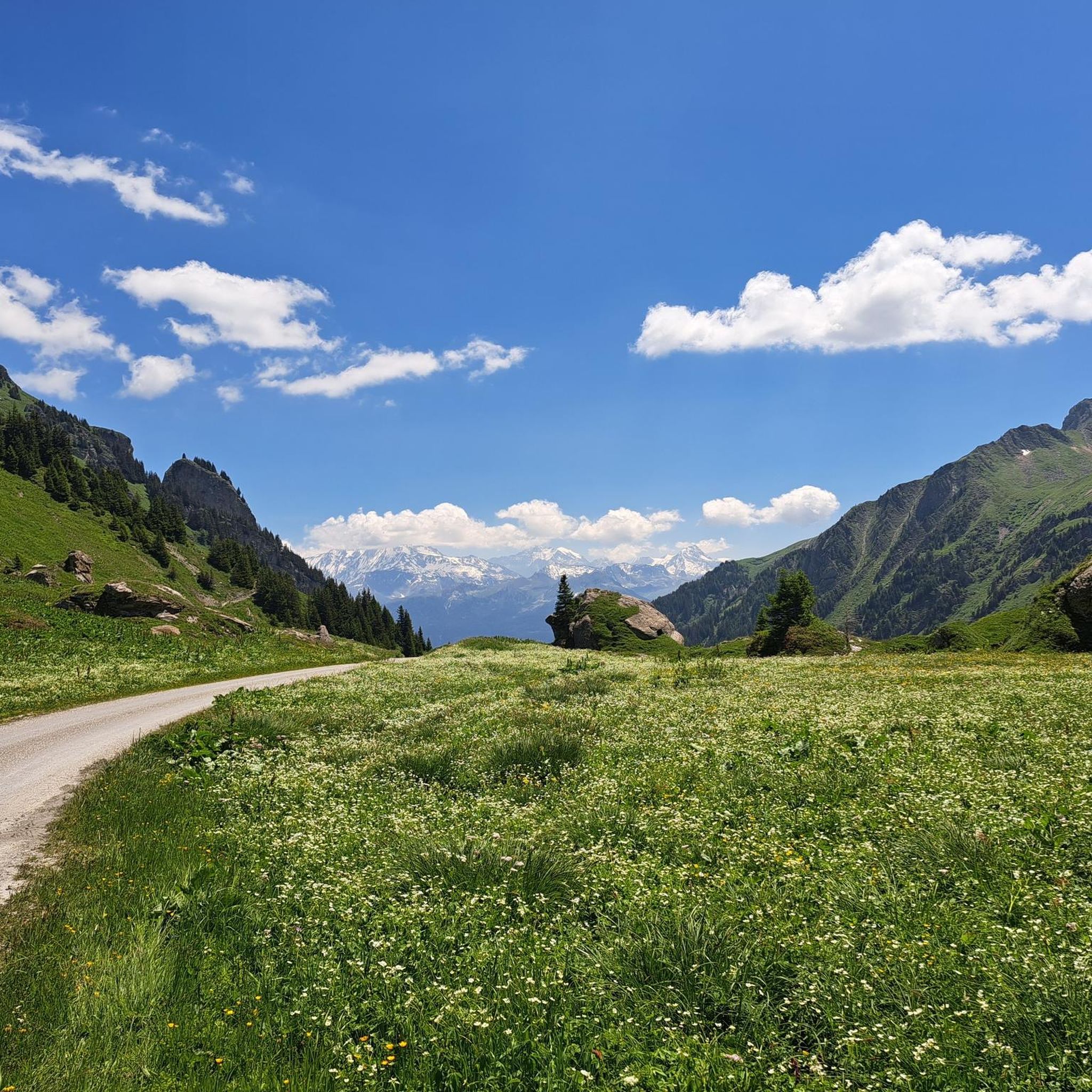
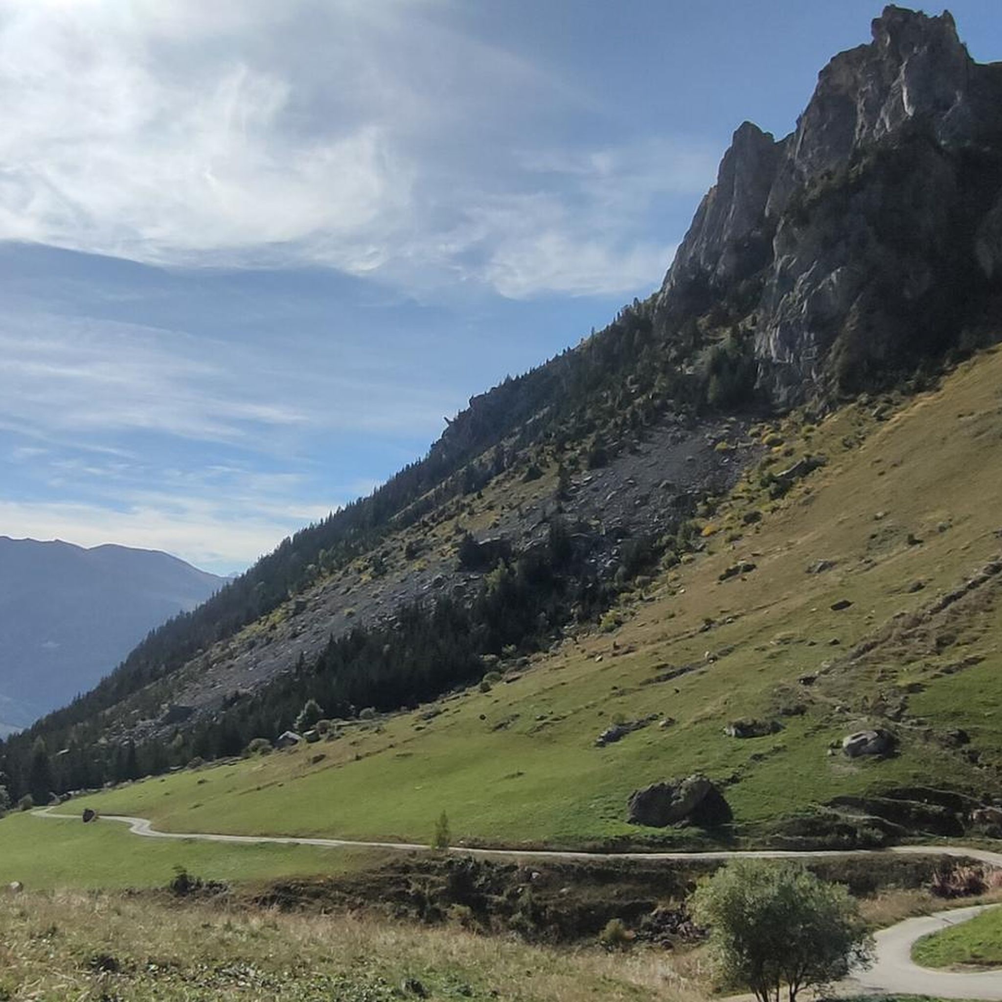
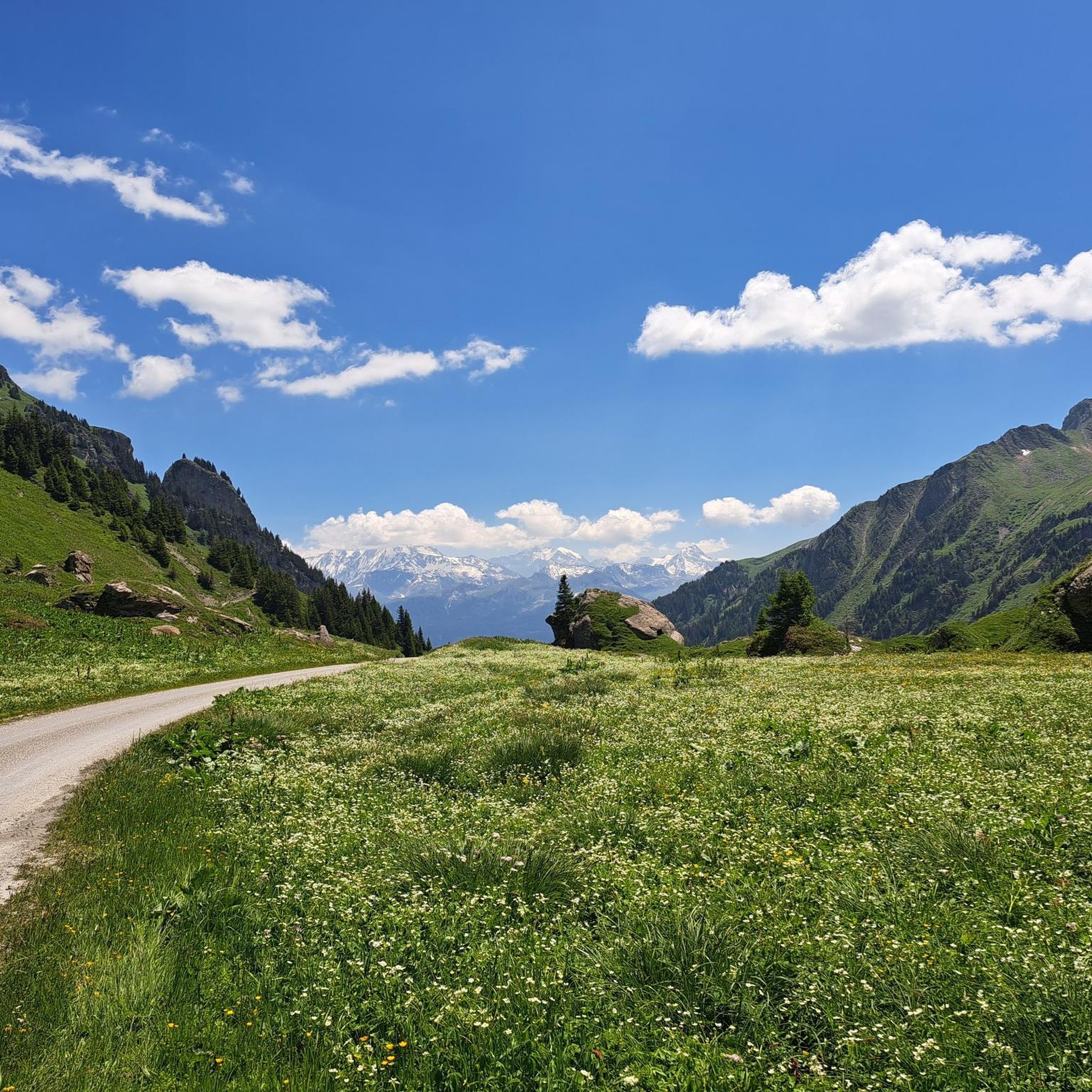
Hiking around Aime-La-Plagne offers access to diverse alpine landscapes in the Tarentaise Valley of the French Alps. The region features majestic mountain peaks, high-altitude lakes, and expansive valleys. Hikers can explore lush forests and alpine pastures, providing varied terrain for outdoor activities.
Best hiking trails around Aime-La-Plagne
- The most popular hiking route is Mont Jovet summit loop from Piste Olympique de bobsleigh de la Plagne, an 8.4 miles (13.5 km) trail that takes 5 hours 11 minutes to complete. This difficult route offers panoramic views from the summit.
- Another top favourite among local hikers is Fairy Lake – Mont Coin loop from Garriottet, a difficult 9.5 miles (15.3 km) path. This trail leads through alpine scenery, passing high-altitude lakes and offering mountain vistas.
- Local hikers also love the La Coire Refuge – Coin Pass loop from Granier, a 7.8 miles (12.6 km) trail leading through mountain passes and towards a refuge, often completed in about 4 hours 54 minutes.
- Hiking around Aime-La-Plagne is defined by majestic mountain peaks, serene high-altitude lakes, and diverse alpine pastures. The network offers options for various ability levels, from easy strolls to challenging multi-day treks.
- The routes in Aime-La-Plagne are highly rated by the komoot community with an average score of 4.5 stars from over 390 reviews. More than 4000 hikers have used komoot to explore Aime-La-Plagne's varied terrain.
Last updated: September 28, 2026
4.7
(22)
188
hikers
Hard hike. Very good fitness required. Mostly accessible paths. Sure-footedness required.
4.8
(9)
121
hikers
15.3km
06:27
920m
920m
Hard hike. Very good fitness required. Mostly accessible paths. Sure-footedness required.

4.7
(10)
116
hikers
11.0km
03:07
250m
250m
Moderate hike. Good fitness required. Easily-accessible paths. Suitable for all skill levels.
4.9
(10)
86
hikers
12.6km
04:55
820m
820m
Moderate hike. Good fitness required. Mostly accessible paths. Sure-footedness required.
4.3
(3)
98
hikers
6.58km
01:57
200m
200m
Easy hike. Great for any fitness level. Easily-accessible paths. Suitable for all skill levels.
Get access to more routes and recommendations from other explorers.
Already have an account?
Our route recommendations are based on thousands of hikes, rides, and runs completed by other people on komoot.
Start today with a free account
Your next adventure awaits.

Other adventures around Aime-La-Plagne

Tips from the Community

El Cormet d'Arêches is an Alpine mountain pass located at an altitude of 2,107 meters in the Savoie department, in the Auvergne-Rhône-Alpes region, France. It connects the Beaufort region with the Aime valley.
0
0
Col du Coin is a pass at an altitude of 2,387 metres. Col du Coin is located near the locality of Plan Brunet, as well as Presset. The Col du Coin is a mountain pass in the French Alps, in Savoy, between the Beaufortain massif to the north and the Tarentaise valley to the south. At an altitude of 2398 metres, it is dominated by Mont Coin. It is part of the long-distance hiking route Tour du Beaufortain, between the Cormet d'Arêches pass to the southwest and the Presset refuge to the northeast.
0
0
El Refugio de la Coire (Refuge de la Coire) is a mountain accommodation located at 2,059 meters above sea level in the French Alps, between the Tarentaise and Beaufortain massifs, in the town of Granier. Stopover point on hiking routes such as the Tour du Beaufortain, ski touring excursions in winter and mountain bike traverses
0
0


beautiful and peaceful lake, great to have a lunch break with a view
0
0

Frequently Asked Questions
How many hiking trails are available around Aime-La-Plagne?
There are over 80 hiking routes in the Aime-La-Plagne area, catering to various skill levels. This includes 19 easy trails, 46 moderate options, and 15 more challenging routes for experienced hikers.
What kind of landscapes can I expect to see while hiking in Aime-La-Plagne?
Aime-La-Plagne offers diverse alpine landscapes, from majestic mountain peaks like Mont Jovet and Roche Parstire to serene high-altitude lakes such as Lac des Fées and Lake Saint-Guérin. You'll also traverse expansive valleys, lush forests like Bois de Cythère, and alpine pastures, many offering panoramic views of the Tarentaise Valley and Mont Blanc.
Are there any easy, family-friendly hikes in the region?
Yes, Aime-La-Plagne has several easy routes suitable for families. An excellent option is the Viewpoint loop from Bonnegarde du Bas, which is about 5.4 km long and takes around 1 hour 36 minutes to complete, offering gentle ascents and scenic views.
Where can I find the best panoramic views in Aime-La-Plagne?
Many trails lead to exceptional viewpoints. The summit of Mont Jovet, accessible via the Mont Jovet summit loop from Piste Olympique de bobsleigh de la Plagne, offers extensive panoramas. Other notable spots include Roche Parstire (highlight) and the Dent du Villard Summit, which can provide clear views of Mont Blanc on a good day.
Are there any circular walks available in Aime-La-Plagne?
Yes, many routes in the area are circular, allowing you to start and end at the same point. Examples include the challenging Fairy Lake – Mont Coin loop from Garriottet, which takes you past high-altitude lakes, or the moderate La Coire Refuge – Coin Pass loop from Granier.
What kind of wildlife can I expect to see on the trails?
The region is rich in alpine wildlife. Hikers frequently encounter marmots, and you might spot ibex and chamois in rocky terrains. The diverse plant life includes protected species like edelweiss and gentian. The area is also home to various birds and nearly 140 species of butterflies.
Are there any notable landmarks or attractions along the hiking routes?
Yes, several interesting landmarks and natural features can be explored. You can visit the historic Chapelle Notre-Dame des Vernettes, or explore mountain passes like Cormet de Roselend and Grand Fond Pass. Refuges like Presset Refuge also offer scenic stops.
What do other hikers enjoy most about the trails in Aime-La-Plagne?
The trails in Aime-La-Plagne are highly rated by the komoot community, with an average score of 4.5 stars from over 390 reviews. Hikers often praise the breathtaking panoramic views, the diverse alpine scenery, and the well-marked paths that cater to all ability levels.
Are there any hikes that pass by high-altitude lakes?
Absolutely. The region is dotted with beautiful high-altitude lakes. The Fairy Lake – Mont Coin loop from Garriottet is a prime example, leading you past Lac des Fées. Another option is the La Coire Refuge – Lake Saint-Guérin loop from Granier, which includes the picturesque Lake Saint-Guérin.
What is the best time of year for hiking in Aime-La-Plagne?
The best time for hiking in Aime-La-Plagne is typically during the summer months, from June to September, when the alpine pastures are green, wildflowers are in bloom, and the weather is generally favorable. Many high-altitude trails are clear of snow during this period, offering full accessibility and stunning views.
Are there any challenging day hikes for experienced hikers?
Yes, for experienced hikers seeking a challenge, the Mont Jovet summit loop from Piste Olympique de bobsleigh de la Plagne is a difficult 13.5 km route with significant elevation gain, offering rewarding panoramic views from the summit. The Fairy Lake – Mont Coin loop from Garriottet is another demanding option, covering 15.3 km through alpine terrain.
Most popular routes around Aime-La-Plagne
Most popular attractions around Aime-La-Plagne

Get inspired with the komoot mobile app


Explore more
Browse the best Hikes in other regions.
