The best running trails around Les Avenières-Veyrins-Thuellin
4.4
(50)
1,428
runners
25
runs
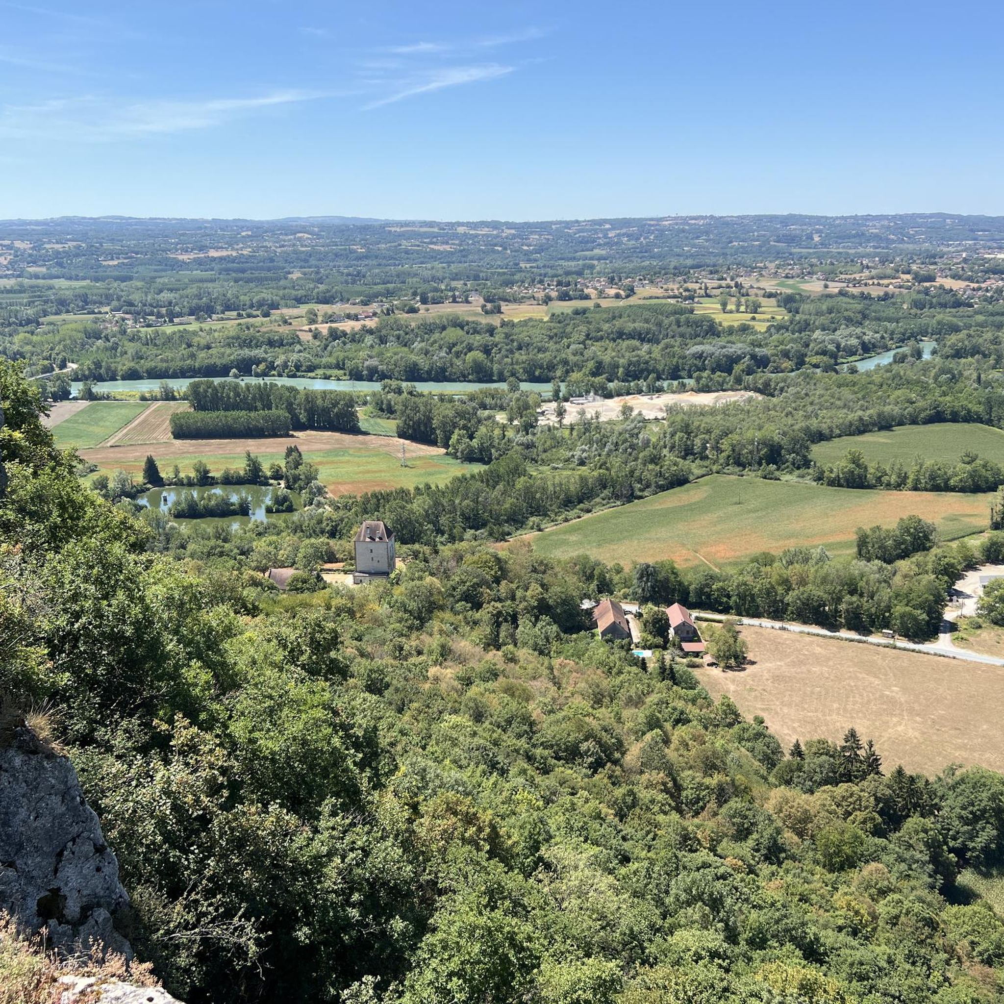
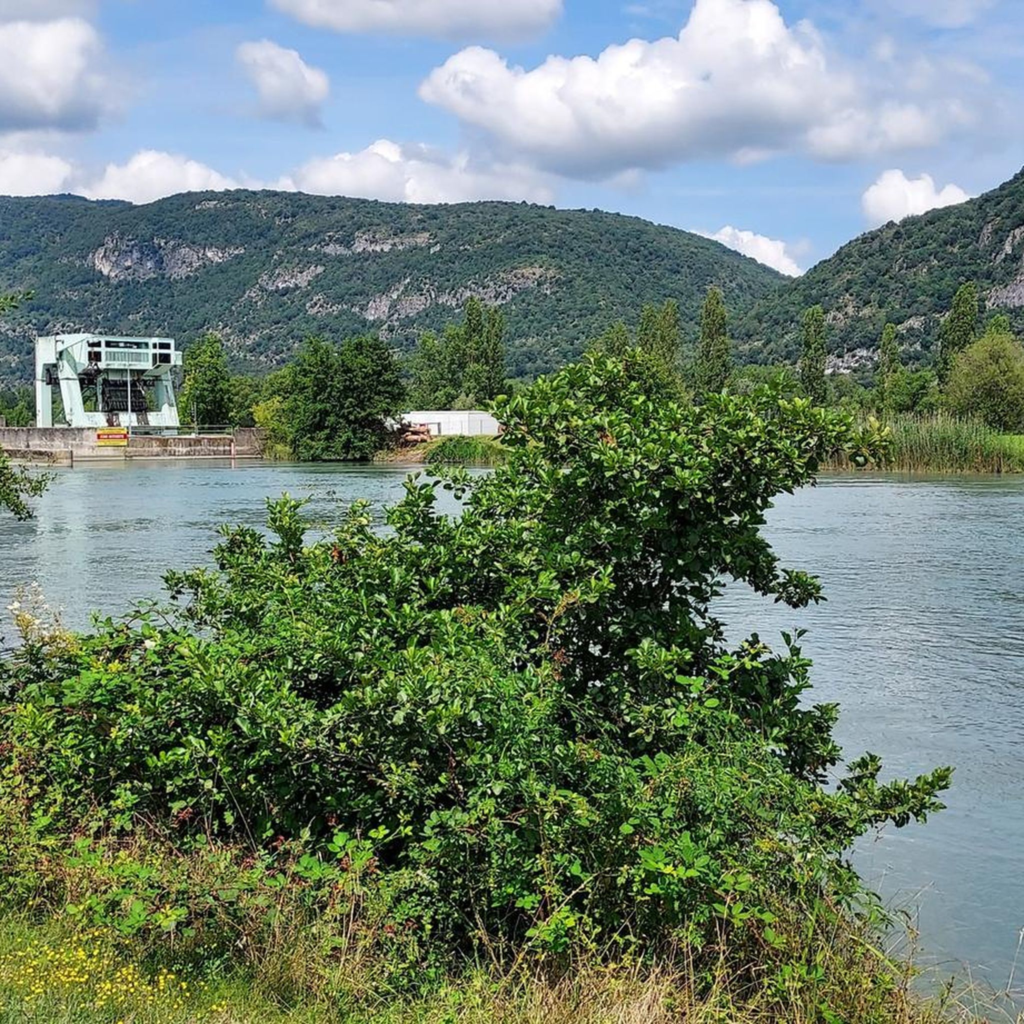
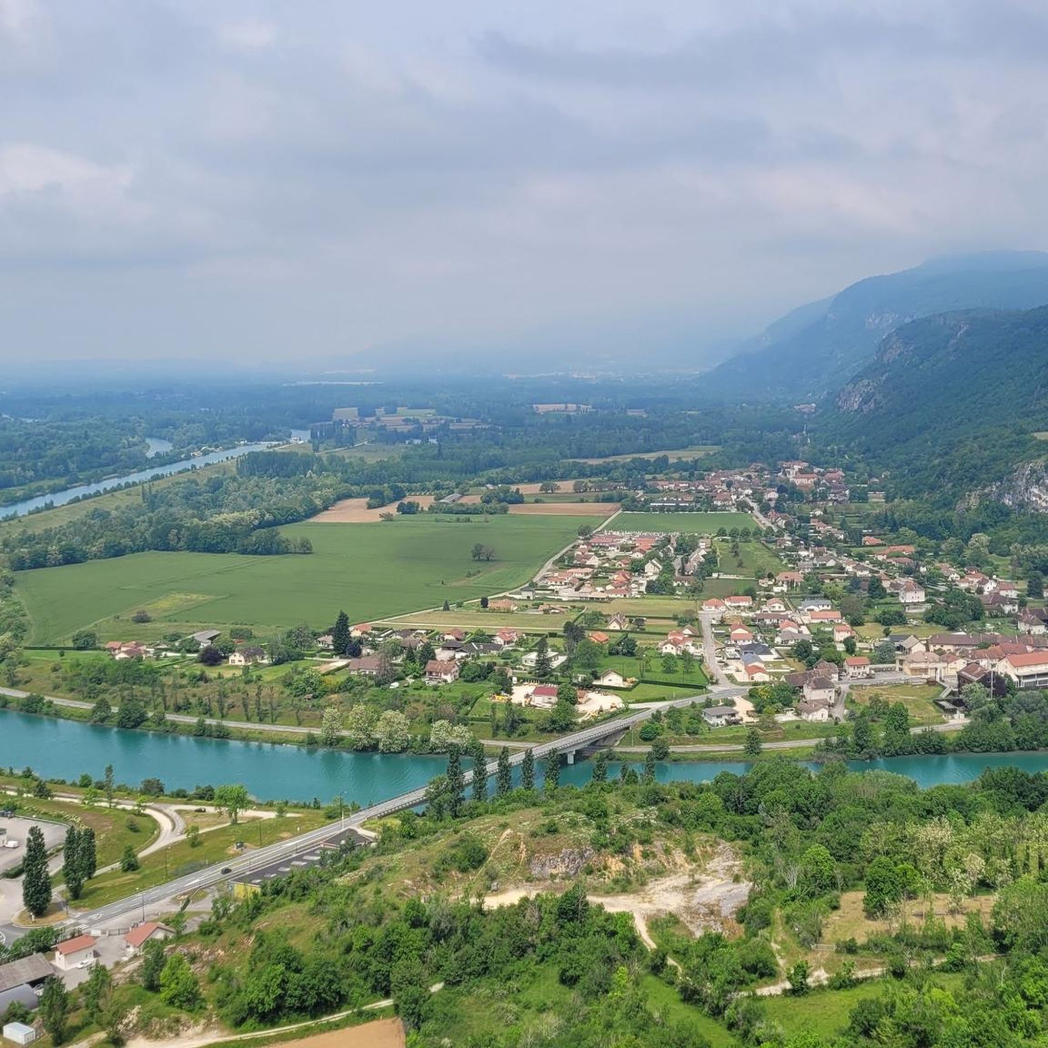
Jogging routes around Les Avenières-Veyrins-Thuellin offer diverse terrain within the Balcons du Dauphiné region. The area is characterized by the Rhône river, which provides picturesque paths along its banks, and the adjacent Haut Rhône Français National Nature Reserve, known for its alluvial fauna and flora. Runners can explore a mix of landscapes, including riverine ecosystems, hills, and forests, providing varied options for different fitness levels.
Best jogging routes around Les Avenières-Veyrins-Thuellin
- The most popular jogging route is Gippet Amandine loop from Saint-Benoît, an 8.5 miles (13.7 km) trail that takes 1 hour 30 minutes to complete. This moderate route offers views of the local countryside.
- Another top favourite among local runners is Running loop from Les Avenières Veyrins-Thuellin, a moderate 6.6 miles (10.6 km) path. This route explores the immediate surroundings of the town, featuring a mix of paved and natural surfaces.
- Local runners also love the Gippet Amandine loop from Réserve naturelle nationale du Haut-Rhône français, an 8.3 miles (13.4 km) trail leading through the protected natural reserve, often completed in about 1 hour 23 minutes.
- Jogging around Les Avenières-Veyrins-Thuellin is defined by the Rhône river, the Haut Rhône Français National Nature Reserve, and a network of paths through local hills and forests. The region offers a variety of running routes suitable for different ability levels, from easy loops to more challenging trails with moderate elevation gains.
- The routes in Les Avenières-Veyrins-Thuellin are highly rated by the komoot community with an average score of 4.3 stars from over 40 reviews. More than 1400 runners have used komoot to explore Les Avenières-Veyrins-Thuellin's varied terrain.
Last updated: May 15, 2026
5.0
(2)
17
runners
Moderate run. Good fitness required. Mostly paved surfaces. Suitable for all skill levels.
9
runners
10.6km
01:13
60m
60m
Moderate run. Good fitness required. Mostly paved surfaces. Suitable for all skill levels.

Sign up for free
12
runners
Moderate run. Good fitness required. Mostly paved surfaces. Suitable for all skill levels.
6
runners
4.98km
00:34
10m
10m
Easy run. Great for any fitness level. Mostly paved surfaces. Suitable for all skill levels.
7
runners
6.42km
00:40
40m
40m
Moderate run. Good fitness required. Mostly paved surfaces. Suitable for all skill levels.
Get access to more routes and recommendations from other explorers.
Sign up for free
Already have an account?
Our route recommendations are based on thousands of hikes, rides, and runs completed by other people on komoot.
Start today with a free account
Your next adventure awaits.
Login or Signup

Tips from the Community

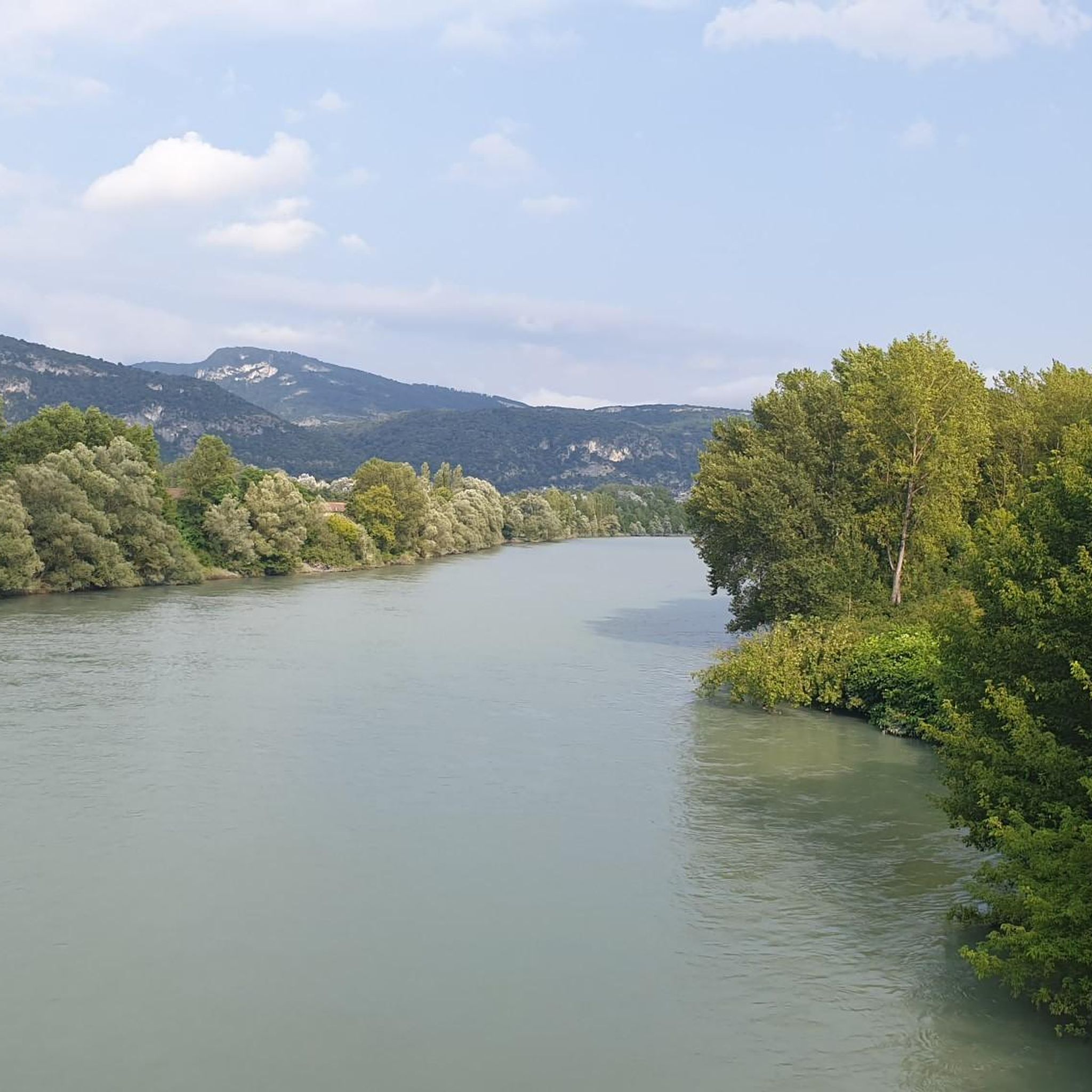
Beautiful view of the Rhône and the Jura mountains
0
0

The Groslée bridge is a suspension bridge crossing the Rhône between the municipalities of Groslée-Saint-Benoit (Ain) and Brangues (Isère). Designed by Ferdinand Arnodin and completed in 1912, it has a main span of 177.21 m in length. Source: Wikipedia
0
0


Shady lawn, picnic areas and rubbish bins (on the side that does not face the Rhone). toilets nearby
0
0

A beautiful part of the Via Rhôna which crosses the National Nature Reserve of the French Haut-Rhône.
2
0

Beautiful bridge over the Rhone at Groslee. There is also a restaurant where you can linger.
1
0


Frequently Asked Questions
How many running routes are available in Les Avenières-Veyrins-Thuellin?
There are over 25 dedicated running routes around Les Avenières-Veyrins-Thuellin, catering to various fitness levels. These include easy loops, moderate trails, and a few more challenging options.
What kind of terrain can I expect on the jogging trails in this region?
The terrain is quite diverse, ranging from picturesque paths along the Rhône river and through the Haut Rhône Français National Nature Reserve, to routes that traverse local hills and forests. You'll find a mix of paved and natural surfaces, offering varied experiences for runners.
Are there any easy or beginner-friendly running paths in Les Avenières-Veyrins-Thuellin?
Yes, there are several easy running routes perfect for beginners or those looking for a relaxed jog. For example, the Running loop from Walibi Rhône-Alpes is an easy 5 km trail with minimal elevation gain, offering a gentle introduction to the area's running possibilities.
What do other runners say about the trails in Les Avenières-Veyrins-Thuellin?
The running routes in Les Avenières-Veyrins-Thuellin are highly rated by the komoot community, with an average score of 4.3 stars from over 40 reviews. Runners often praise the scenic beauty along the Rhône, the tranquility of the nature reserve, and the variety of routes available for different abilities.
Can I find circular running routes in the area?
Absolutely. Many of the running routes in Les Avenières-Veyrins-Thuellin are designed as circular loops, allowing you to start and finish at the same point. A popular example is the Running loop from Les Avenières Veyrins-Thuellin, which explores the immediate surroundings of the town.
Are there any scenic viewpoints or natural attractions along the running routes?
Yes, the region is rich in natural beauty. Many routes offer views of the Rhône river and pass through the Haut Rhône Français National Nature Reserve. You might also encounter highlights like Lac d'Ambléon or enjoy a View of the Rhône from Belvédère du Site des Fils, providing stunning backdrops for your run.
Are the running trails in Les Avenières-Veyrins-Thuellin suitable for families?
Many of the easier and shorter routes are suitable for families, especially those with well-maintained surfaces. The Envirhôna Trail, for instance, is a 3.5 km pedestrian route along the Rhône with interactive terminals, making it an engaging option for a family jog or walk.
Are there any dog-friendly running trails in the region?
Most natural trails and paths in the area, including those along the Rhône and within the nature reserve, are generally dog-friendly, provided your dog is kept on a leash and you clean up after them. Always check local signage for specific restrictions in certain protected areas.
What is the best time of year to go jogging in Les Avenières-Veyrins-Thuellin?
Spring and autumn generally offer the most pleasant conditions for jogging, with mild temperatures and beautiful scenery. Summer can be warm, especially along the river, so early mornings or late evenings are preferable. Winter running is possible, but some trails might be muddy or require appropriate gear.
Can I run along the ViaRhôna cycle path in Les Avenières-Veyrins-Thuellin?
Yes, a 5 km shared path connects to the ViaRhôna Cycle Path, which is suitable for jogging. This well-maintained path runs along the Rhône between mountains and hills, offering pleasant views and a smooth surface for your run.
Are there any running routes that go through the Haut Rhône Français National Nature Reserve?
Yes, the region offers immersive running experiences within the nature reserve. The Gippet Amandine loop from Réserve naturelle nationale du Haut-Rhône français is an 8.3-mile (13.4 km) trail that leads directly through this protected area, allowing you to discover its unique alluvial fauna and flora.
Where can I find parking for the running trails?
Parking is generally available at key access points for popular routes, such as near the town center of Les Avenières-Veyrins-Thuellin or at designated parking areas close to the Haut Rhône Français National Nature Reserve and along the Rhône. Specific parking details can often be found on individual route descriptions.
Most popular routes around Les Avenières-Veyrins-Thuellin
Most popular attractions around Les Avenières-Veyrins-Thuellin

Get inspired with the komoot mobile app


Explore more
Browse the best Running Trails & Routes in other regions.
