The best road cycling routes around Val-Buëch-Méouge
4.4
(274)
6,513
riders
172
rides
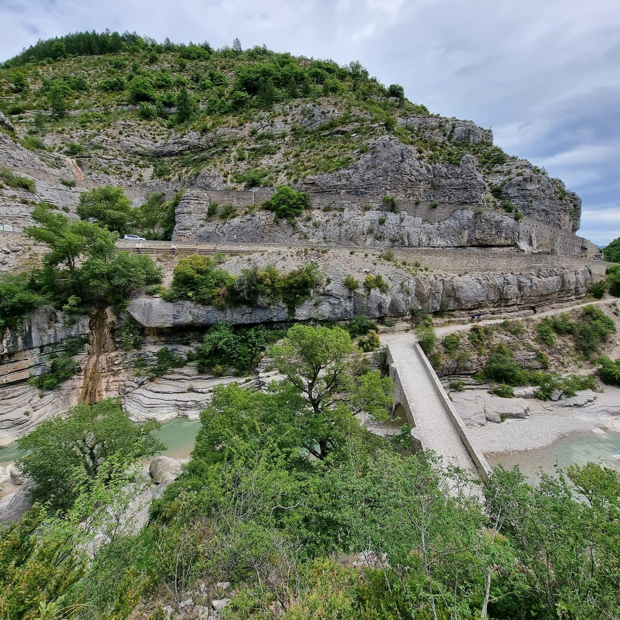
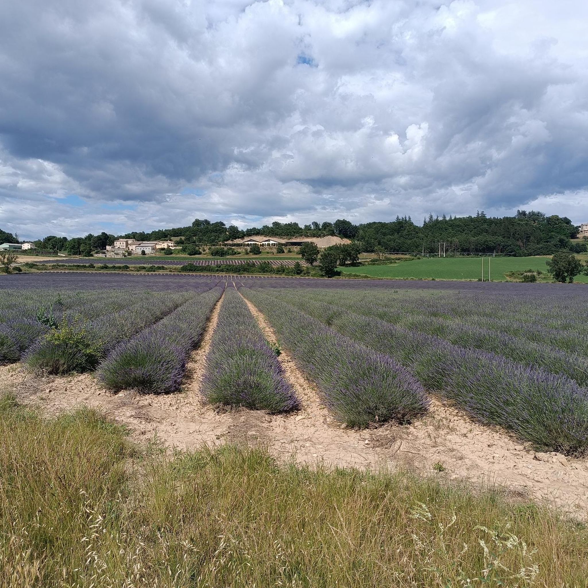
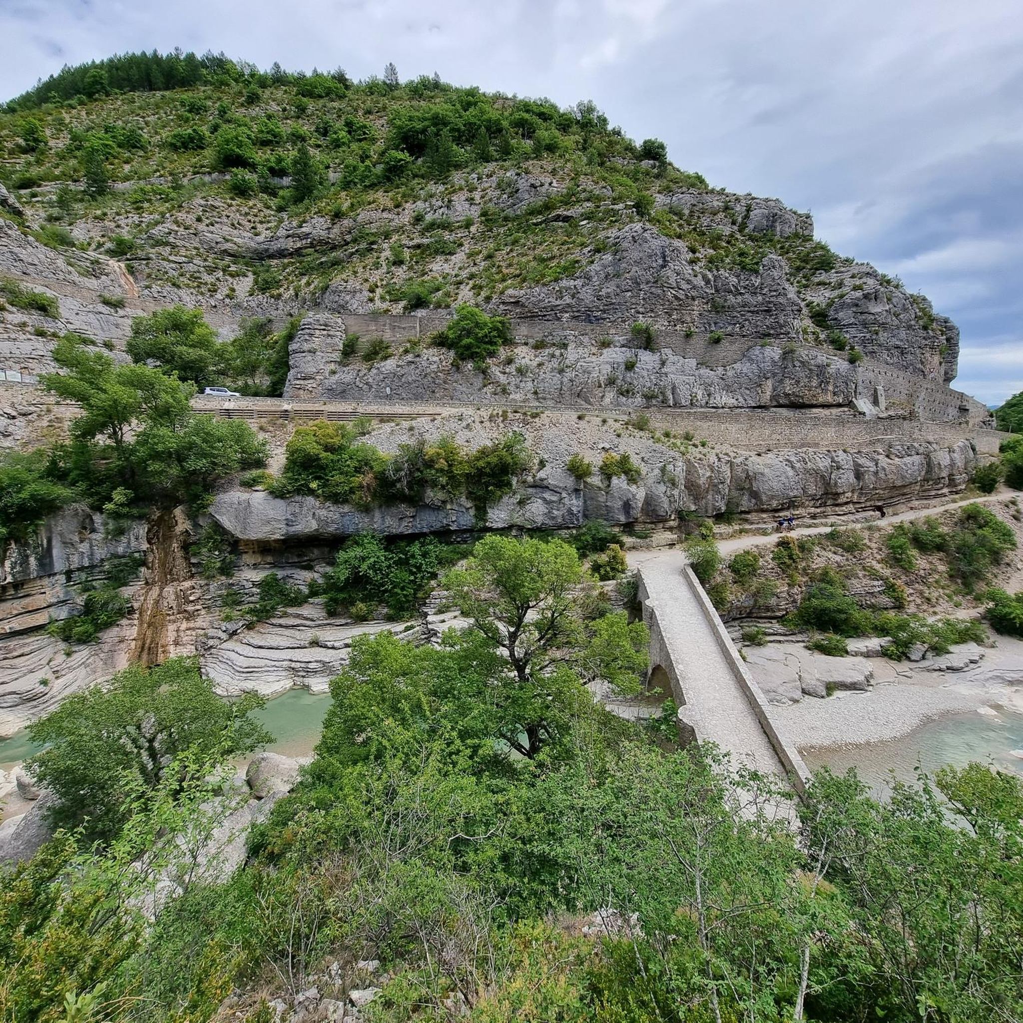
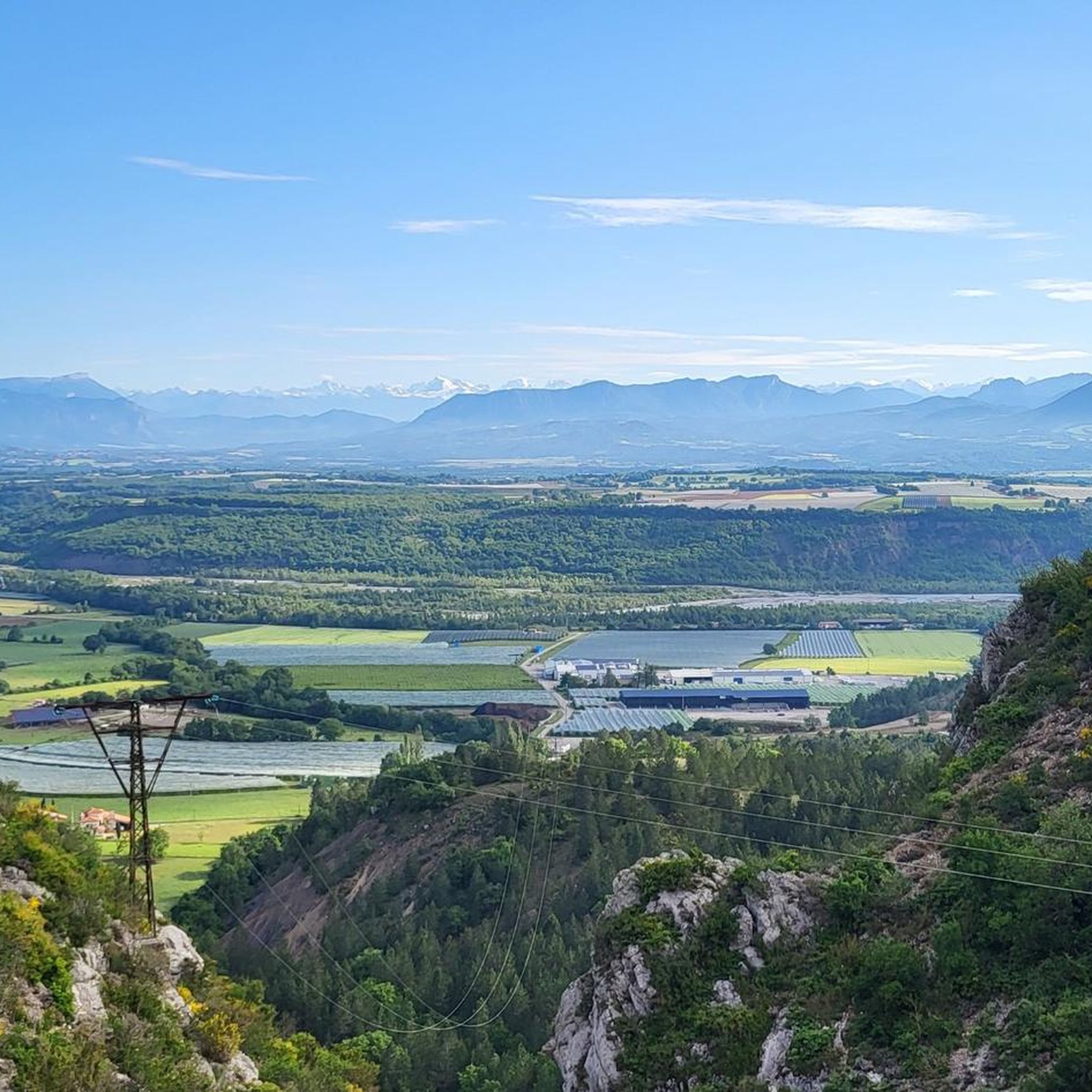
Road cycling around Val-Buëch-Méouge features routes that traverse valleys, ascend mountain passes, and follow river gorges. The region is characterized by its varied topography, including the Méouge Gorges and several "cols" or mountain passes. Road cyclists can expect a mix of climbs and descents through a landscape that includes natural regional parks and elevated viewpoints.
Best road cycling routes around Val-Buëch-Méouge
- The most popular road cycling route is Col de Saint Jean - Natural Regional Park of Baronnies Provençales,…
Last updated: October 12, 2026
5.0
(20)
461
riders
60.3km
02:46
740m
740m
Moderate road ride. Good fitness required. Some segments of this route may be unpaved and difficult to ride.
5.0
(6)
238
riders
97.8km
04:29
1,190m
1,190m
Hard road ride. Very good fitness required. Mostly well-paved surfaces and easy to ride.

4.8
(4)
31
riders
30.6km
01:28
300m
300m
Easy road ride. Great for any fitness level. Some segments of this route may be unpaved and difficult to ride.
4.6
(19)
169
riders
75.5km
03:30
940m
940m
Hard road ride. Very good fitness required. Mostly well-paved surfaces and easy to ride.
4.5
(4)
75
riders
167km
08:30
2,740m
2,740m
Hard road ride. Very good fitness required. Mostly well-paved surfaces and easy to ride.
Get access to more routes and recommendations from other explorers.
Already have an account?
Our route recommendations are based on thousands of hikes, rides, and runs completed by other people on komoot.
Start today with a free account
Your next adventure awaits.

Tips from the Community

Very nice Gravel route from the North.
0
0

Road without traffic, great for cycling in peace.
12
0
The view from the top is sublime.
4
0
The last hairpin bend and then you are at the top.
8
0
For cyclists: * West side (Montauban-sur-l’Ouvèze / La Combe): 11-12.5 km with an average gradient of around 5%, maximum about 9%. Steady climb, never extreme. * East side (Laborel): 8.5 km at 5.6% on average, with peaks up to 7.7%. This is the shorter and smoother side.
15
0
Altitude: 1,159 m * Region: Drôme, on the border with the Hautes-Alpes department. * Connects: the villages of Laborel and Lachau with the Céans valley.
6
0
Secondary road with excellent asphalt.
9
0
Frequently Asked Questions
How many road cycling routes are available in Val-Buëch-Méouge?
There are over 150 road cycling routes in Val-Buëch-Méouge, offering a wide range of options for different skill levels and preferences.
What is the best time of year for road biking in Val-Buëch-Méouge?
The best time for road biking in Val-Buëch-Méouge is generally from spring through autumn. Summer offers warm, sunny conditions, ideal for exploring the region's varied terrain, including mountain passes and river gorges. Always check local weather forecasts before heading out.
Are there road cycling routes suitable for beginners in Val-Buëch-Méouge?
Yes, Val-Buëch-Méouge offers around 30 easy road cycling routes. An example of a more accessible route is The Upaix watchtower from Laragne Montéglin loop, which is 19.0 miles (30.6 km) long and features moderate elevation changes.
Can I find challenging road bike climbs in Val-Buëch-Méouge?
Absolutely. The region is known for its mountain passes and challenging ascents. For instance, the Col de Perty and Gorges de la Méouge Loop is a difficult 60.8 miles (97.8 km) route with significant climbs. Another demanding option is the Col de l'Homme Mort – Méouge Gorge Route loop from Laragne, which features over 2,700 meters of elevation gain.
Are there circular road cycling routes in Val-Buëch-Méouge?
Many routes in Val-Buëch-Méouge are designed as loops, allowing you to start and finish at the same point. Examples include Col de Perty and Gorges de la Méouge Loop and The Upaix watchtower from Laragne Montéglin loop.
What kind of terrain can I expect on road cycling routes in Val-Buëch-Méouge?
Road cycling in Val-Buëch-Méouge offers diverse terrain, from routes traversing valleys and following river gorges to ascents over mountain passes. You'll encounter a mix of climbs and descents through landscapes that include natural regional parks and elevated viewpoints.
Are there long-distance road cycling routes in Val-Buëch-Méouge?
Yes, for those seeking longer rides, Val-Buëch-Méouge has several extended routes. The Col de l'Homme Mort – Méouge Gorge Route loop from Laragne, for example, spans over 166 km (103 miles), offering a full day's challenge.
What scenic viewpoints can I find along road cycling routes in Val-Buëch-Méouge?
The region offers numerous scenic viewpoints. You can find stunning vistas such as the View of Sisteron and the Rocher de la Baume or the View from the Pas de la Graille, providing panoramic views of the surrounding mountains and valleys.
Are there any notable natural attractions or gorges to see while road cycling?
Yes, the region is famous for its natural attractions, particularly the gorges. The Gorges de la Méouge is a prominent feature, offering spectacular scenery and opportunities to see swimming spots and waterfalls. Routes like the Col de Perty and Gorges de la Méouge Loop incorporate these natural wonders.
Where can I find parking for road cycling routes in Val-Buëch-Méouge?
Many towns and villages in Val-Buëch-Méouge, such as Laragne-Montéglin, serve as good starting points for routes and typically offer public parking facilities. It's advisable to check specific starting points for available parking before your ride.
What do other road cyclists say about the routes in Val-Buëch-Méouge?
The road cycling routes in Val-Buëch-Méouge are highly rated by the komoot community, with an average score of 4.5 stars from over 170 reviews. Cyclists often praise the diverse terrain, the beauty of the landscapes, and the challenging yet rewarding climbs.
Are there family-friendly road cycling routes in Val-Buëch-Méouge?
While many routes involve significant climbs, there are easier options suitable for families or those seeking a more relaxed ride. Look for routes designated as 'easy' in the komoot guide, which typically feature less elevation gain and shorter distances, such as the 30.6 km The Upaix watchtower from Laragne Montéglin loop.
Most popular routes around Val-Buëch-Méouge
Most popular attractions around Val-Buëch-Méouge

Get inspired with the komoot mobile app


Explore more
Browse the best Road cycling routes in other regions.
