The best MTB trails around Bernwiller
4.4
(716)
3,292
riders
349
rides
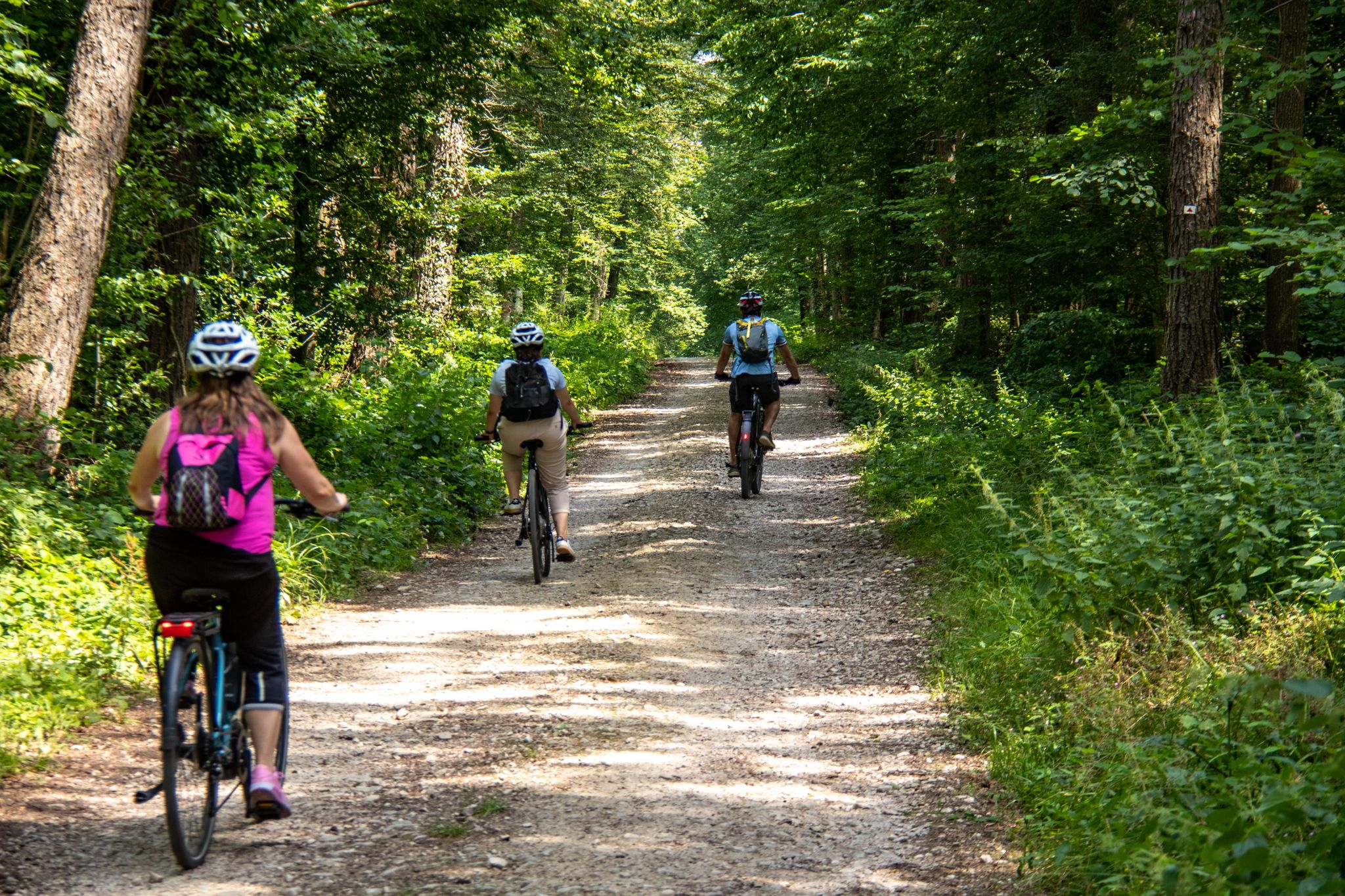
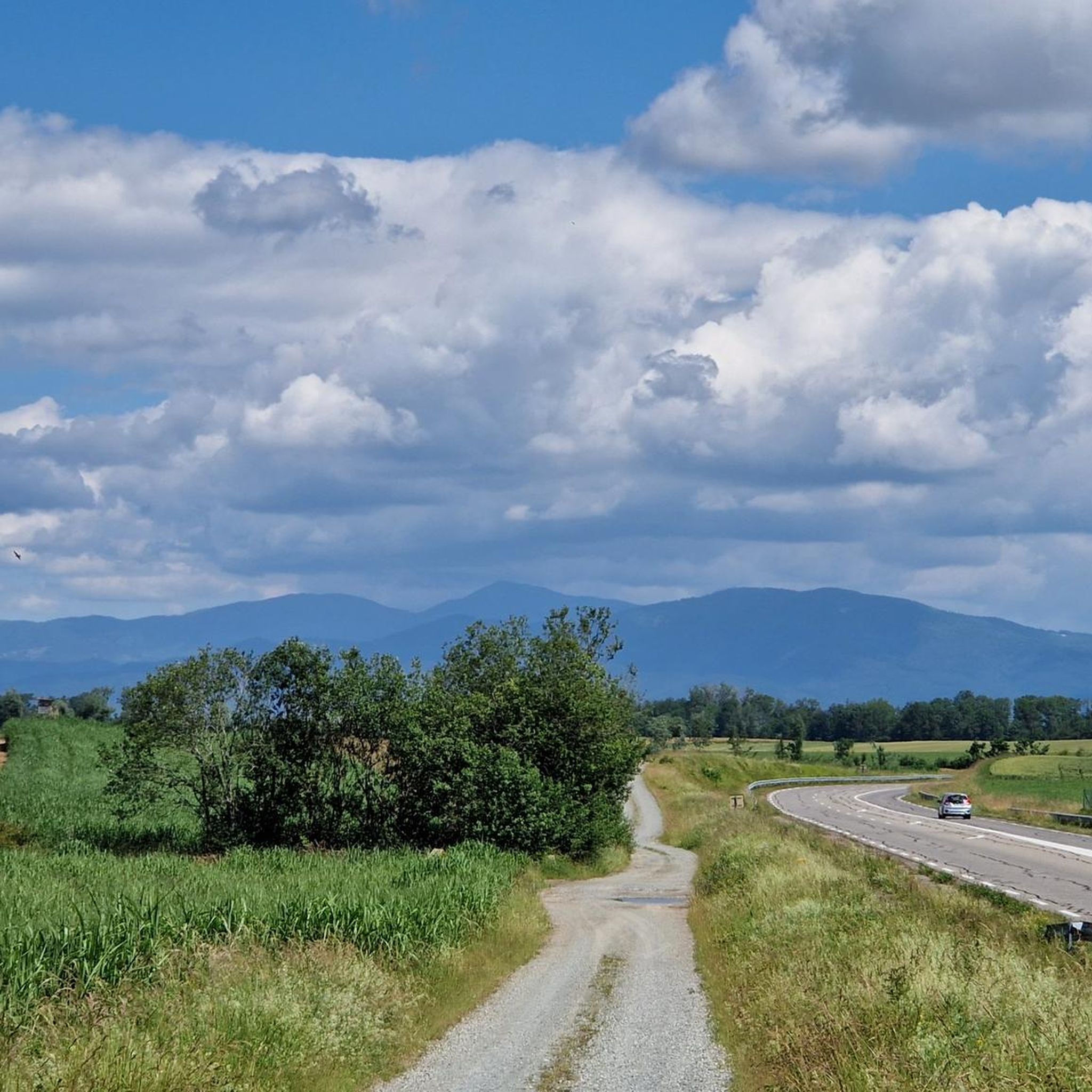
Mountain bike trails around Bernwiller are set within the diverse landscapes of the Haut-Rhin department in Alsace, France. The region features extensive forests, rolling hills, and varied terrain, particularly within the Sundgau area. This geography provides a mix of forested slopes, open countryside, and agricultural lands. Bernwiller serves as a base for accessing a network of trails, including those within the dedicated Sundgau mountain bike domain.
Best mountain bike trails around Bernwiller
- The most popular mountain bike trail is MTB…
Last updated: November 1, 2026
5.0
(1)
4
riders
10.9km
00:40
40m
40m
Easy mountain bike ride.
6.35km
00:28
40m
40m
Moderate mountain bike ride. Advanced riding skills necessary.

4.7
(3)
30
riders
34.5km
01:45
80m
80m
Easy mountain bike ride.
4.0
(3)
9
riders
Easy mountain bike ride.
4.8
(5)
12
riders
22.5km
01:31
120m
120m
Easy mountain bike ride.
Get access to more routes and recommendations from other explorers.
Already have an account?
Our route recommendations are based on thousands of hikes, rides, and runs completed by other people on komoot.
Start today with a free account
Your next adventure awaits.

Other adventures around Bernwiller

Tips from the Community

Ammertzwiller – destroyed front village and mine warfare Ammertzwiller was one of the particularly contested locations on the Sundgau front during World War I. From September 1914, the front line ran immediately west of the village. German troops held Ammertzwiller, while French positions were located near Gildwiller-le-Mont, among other places. On January 1, 1915, the entire population was evacuated. Shortly thereafter, the abandoned village itself became a combat zone. The church was destroyed on January 8, 1915. By the end of the war, Ammertzwiller was almost completely devastated. The place became particularly known for mine warfare. From May 1915, French sappers and German pioneers dug tunnels under the enemy positions and detonated them. The underground warfare lasted until early 1916 and left numerous explosion craters. A striking event was the German mine detonation on July 11, 1915. The explosion under the German outpost Sautter created a massive crater. The mine crater, now filled with water, is preserved as the "Entonnoir" and serves as a reminder of this form of warfare. German troops also built an extensive system of bunkers, shelters, and underground facilities. Today, the approximately 10.5 km long "Circuit de la mémoire d’Ammertzwiller" leads through this former front landscape. Around 15 information boards explain the local history. After the war, the residents returned to a largely destroyed village. Reconstruction left a lasting mark on Ammertzwiller. Today's Saint-Étienne church, with its depictions, preserves the memory of evacuation, war, and return. Particularly worth seeing: the water-filled mine crater and the Circuit de la mémoire d’Ammertzwiller.
0
0
Anyone who wants to know more about this should visit this page: https://sundgaufront.pharmafix.com/index.php/interaktive-frontkarte
1
0
Anyone who wants to know more about it should visit this page: https://sundgaufront.pharmafix.com/index.php/interaktive-frontkarte
0
0

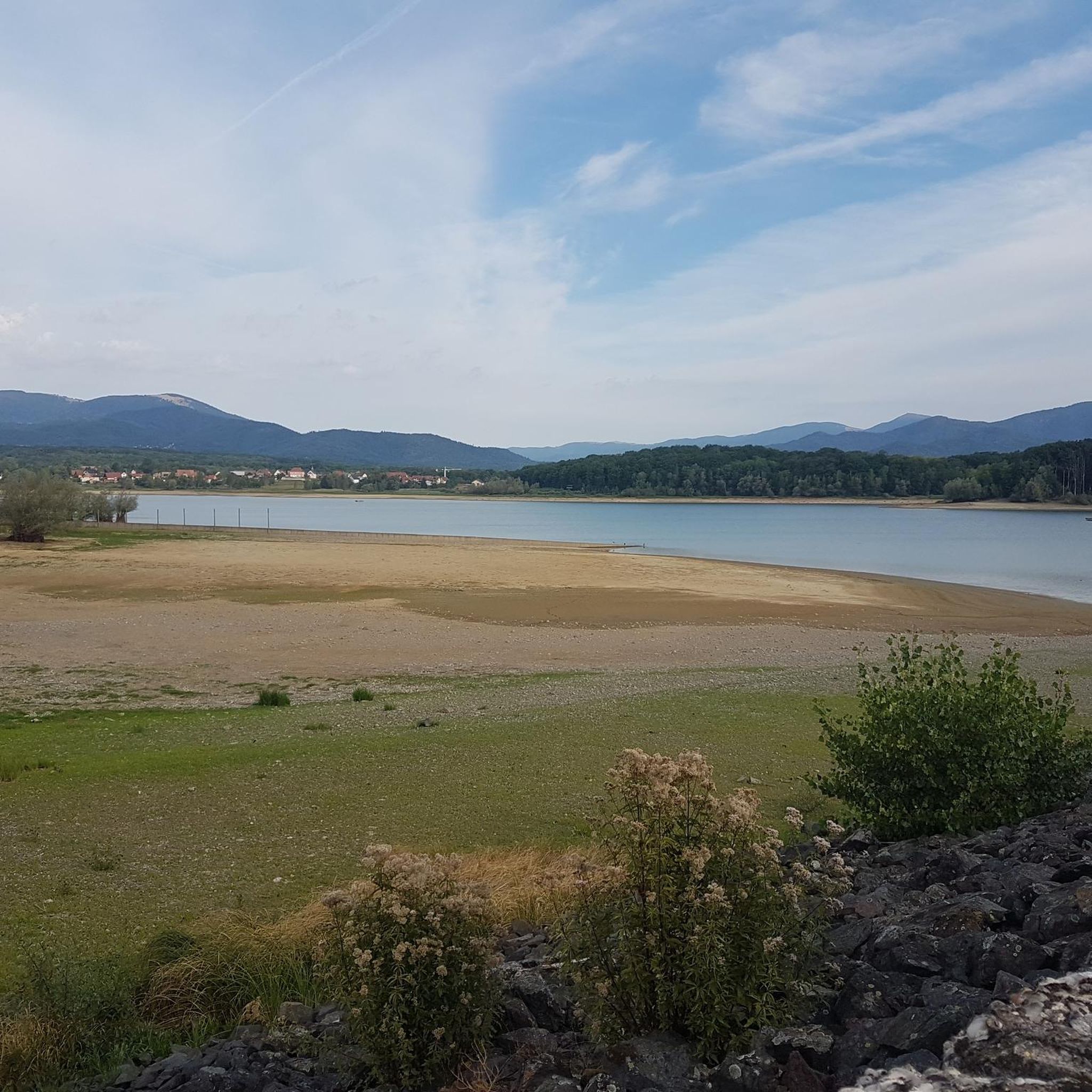
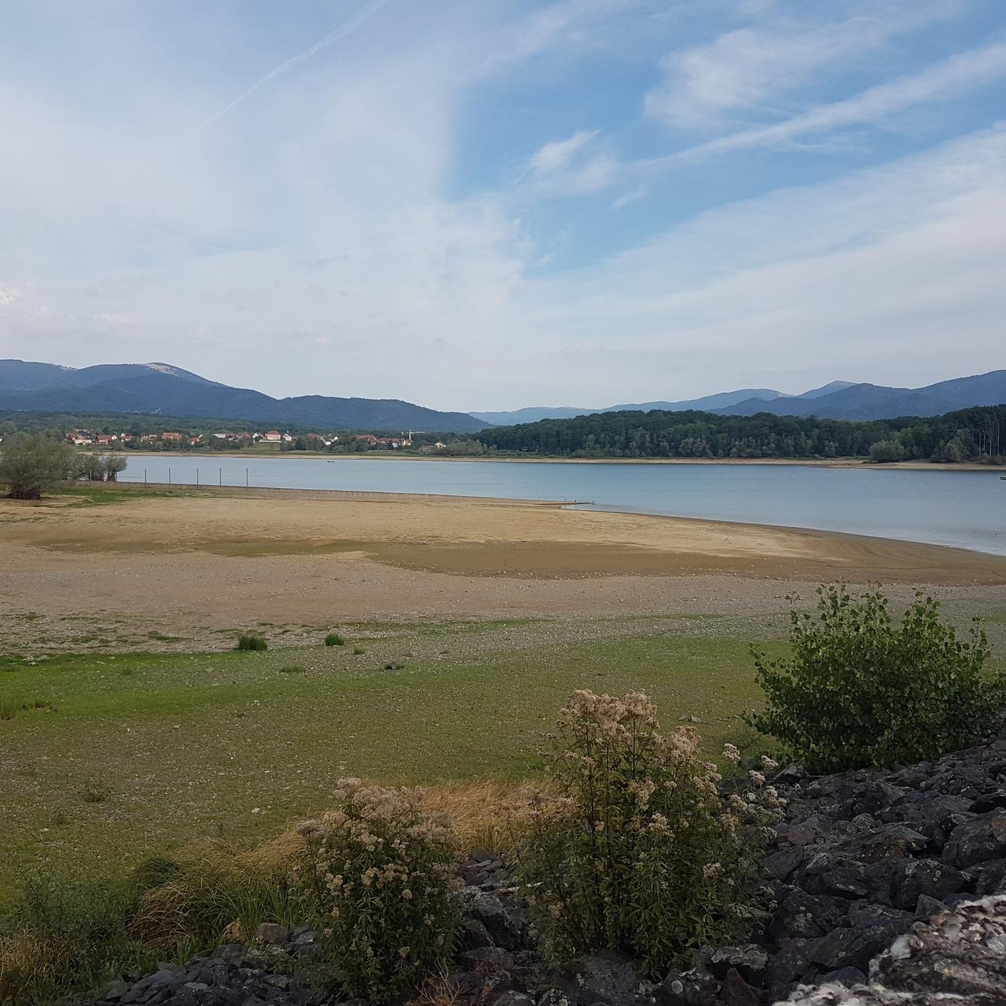
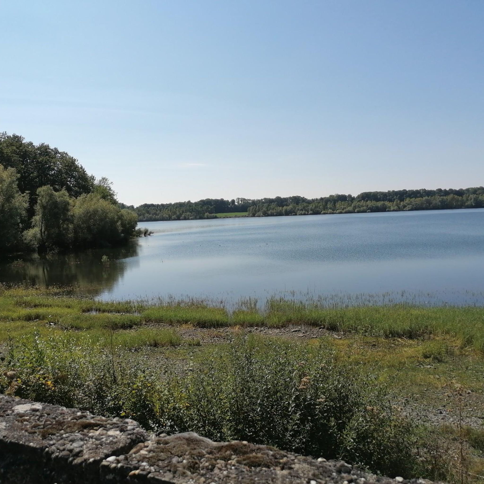
the Michelbach lake is a place where you can stop for a picnic during hikes or bike rides
0
0

Please take the nature conservation restrictions seriously. Otherwise, you will not only disturb the fauna, but the rangers on site are also very conscientious and ensure strict adherence. Dogs on a leash, take your trash with you, stay on the paths, and do not picnic in the grass. But that goes without saying.
0
0

The French and European National Cycleway is a great cycleway winding along side of the Rhine Rhone Canal with very little climbing, for those who do not like to climb. However those who are climbing shy, must be aware of the wind in this area. A lot of the locks still have the former lock man’s house which adds a bit of charm to every lock. One is never alone on this route as there is a constant passing of bicycles, both leisure and racing bikes.
0
0


The World War I Bunker Trail in Burnhaupt-le-Bas On the Bunker Trail, you can discover World War I fortifications built by the German army. After the fighting in the summer and autumn of 1914, the front in Upper Alsace stabilized on the Cernay-Dannemarie line. The municipal district of Burnhaupt-le-Bas remained on the German side. In December 1914 and January 1915, French offensives in this sector regularly clashed with the German lines. Numerous bunkers, command posts, and artillery posts. The tour can be done by mountain bike or on foot (hiking boots).
0
0
Frequently Asked Questions
How many mountain bike trails are available around Bernwiller?
There are over 370 mountain bike routes around Bernwiller, offering a wide range of experiences from easy paths to more challenging trails. The region, particularly the Sundgau area, is known for its extensive network of trails.
Are there mountain bike trails suitable for beginners or families in Bernwiller?
Yes, Bernwiller offers a good selection of trails suitable for beginners and families. Over 120 routes are rated as easy. A great option is MTB route no. 29: In the footsteps of Jean-Jacques Henner, an easy 10.9 km trail with gentle gradients through the local countryside.
What kind of terrain can I expect on mountain bike trails near Bernwiller?
The terrain around Bernwiller is diverse, featuring extensive forests, rolling hills, and a mix of forested slopes, open countryside, and agricultural lands. You'll find everything from smooth paths to more technical singletracks, especially within the broader Vosges Mountains and Sundgau area.
Are there any circular mountain bike routes in the Bernwiller area?
Yes, many of the mountain bike routes around Bernwiller are circular, allowing you to start and finish at the same point. An example is the Bernwiller – Singletrack Along the Water loop from Ammertzwiller, a moderate 30.2 km trail that explores local waterways and forests.
What are some interesting landmarks or natural features to see along the mountain bike trails?
While riding the trails, you might encounter various points of interest. For example, the Singletrack Along the Water – Michelbach reserve loop from Ammertzwiller passes near the Michelbach Lake. Other nearby attractions include the Port of Dannemarie and the Zillisheim Drawbridge and Lock No. 35, which are part of the region's historical waterways.
What do other mountain bikers enjoy most about mountain biking in Bernwiller?
The mountain bike trails around Bernwiller are highly rated by the komoot community, with an average score of 4.5 stars from over 500 reviews. Riders often praise the varied terrain, the well-maintained paths, and the opportunity to explore the beautiful natural landscapes of the Sundgau area.
Is Bernwiller a good base for exploring the wider Alsace region by mountain bike?
Absolutely. Bernwiller's location in the Sundgau area provides direct access to a dedicated mountain bike domain with numerous routes. It's also conveniently close to the Vosges Mountains and the Ballons des Vosges Regional Natural Park, offering even more extensive and rugged terrain for mountain biking adventures across the Alsace region. You can find more information about the broader mountain bike area in Alsace here.
Are there any advanced or challenging mountain bike routes near Bernwiller?
Yes, while many routes are moderate, the region also offers more challenging options, especially as you venture towards the Vosges Mountains. For a longer, more demanding ride, consider The chapel path – Nice trailhead loop from Galfingue, a moderate 55.4 km route with significant elevation gain.
What is the best time of year for mountain biking in Bernwiller?
The best time for mountain biking in Bernwiller is generally from spring through autumn (April to October). During these months, the weather is typically mild, and the trails are in good condition. Winter conditions can vary, with some trails potentially being muddy or covered in snow, especially at higher elevations.
Are there any specific mountain bike areas or domains near Bernwiller?
Bernwiller is located within the Sundgau area, which features a dedicated mountain bike domain with 33 routes. This includes local trails like MTB route no. 30: Around Eglingen, offering varied terrain for intermediate riders.
Is it possible to reach mountain bike trails near Bernwiller using public transport?
While specific public transport links directly to trailheads can be limited in rural areas like Bernwiller, the broader Alsace region has a public transport network. It's advisable to check local bus schedules or regional train services to nearby towns and then plan your route to the trailheads, as some may require a short ride or walk to access.
Most popular routes around Bernwiller
Most popular attractions around Bernwiller

Get inspired with the komoot mobile app


Explore more
Browse the best MTB trails in other regions.
