The best walks and hikes around Le Haut-Soultzbach
4.5
(1511)
8,620
hikers
478
hikes
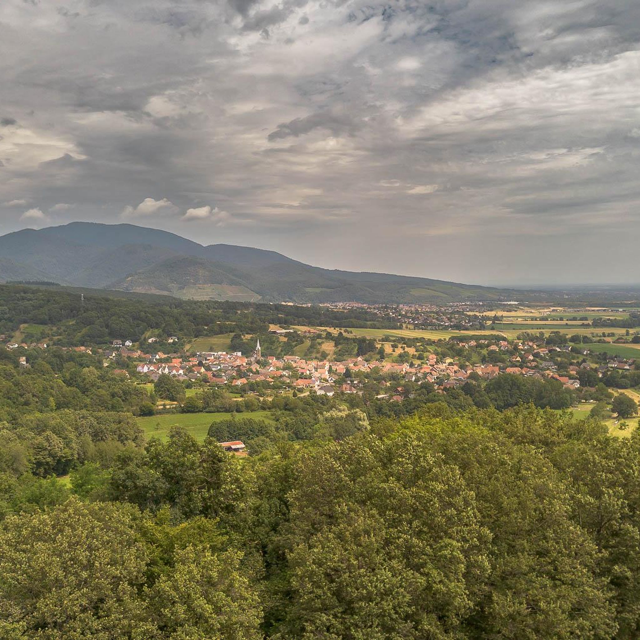
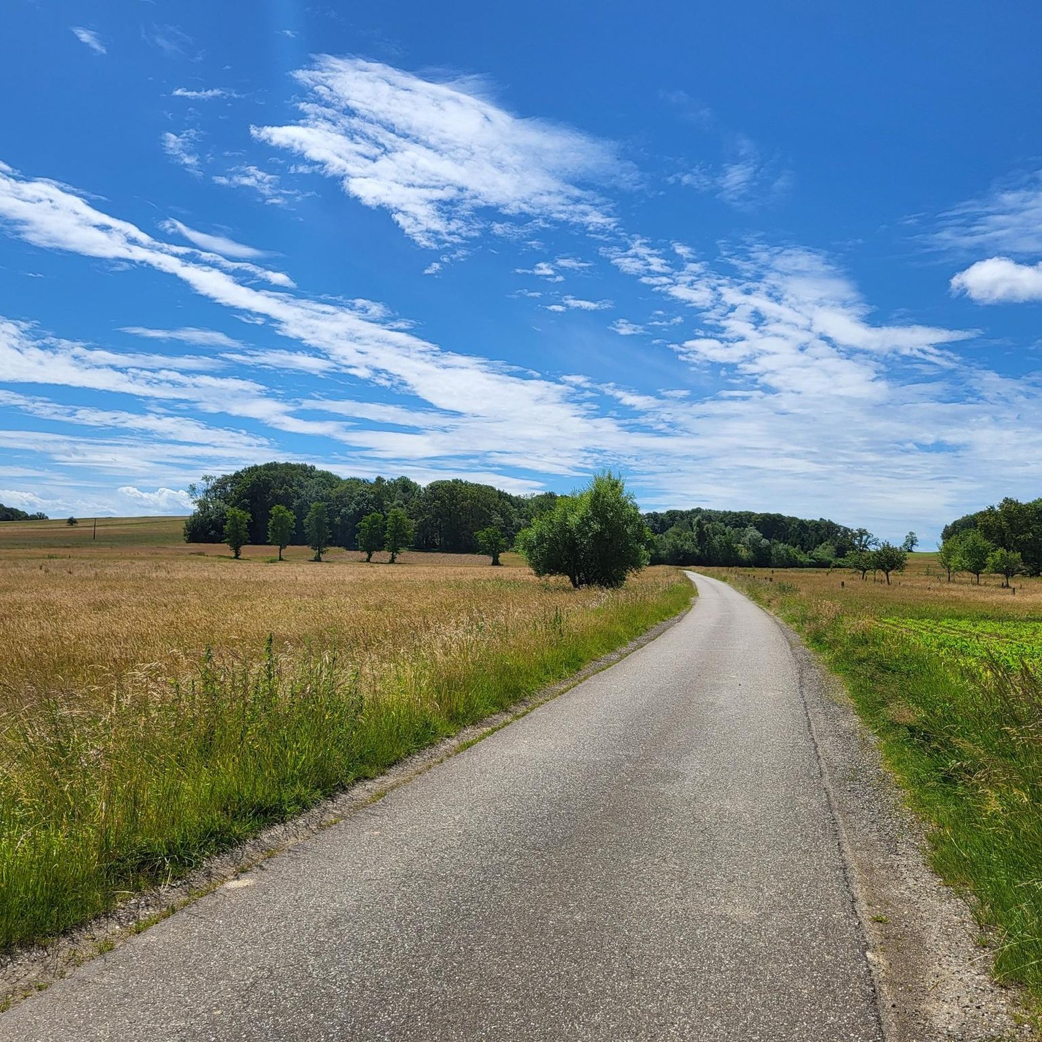
Hiking trails around Le Haut-Soultzbach traverse a landscape characterized by rolling hills and a mix of open views and forested areas. The region features several lakes and historical points of interest, such as local churches. Elevation changes are generally moderate, making many routes accessible for various fitness levels.
Best hiking trails around Le Haut-Soultzbach
- The most popular hiking route is View of Soppe-le-Haut – Soppe-le-Haut Church loop from Mortzwiller, a 6.7 miles (10.7 km) trail that takes 2 hours…
Last updated: May 24, 2026
4.9
(7)
20
hikers
10.7km
02:53
130m
130m
Moderate hike. Good fitness required. Easily-accessible paths. Suitable for all skill levels.
2.0
(2)
19
hikers
Moderate hike. Good fitness required. Easily-accessible paths. Suitable for all skill levels.

Sign up for free
4.5
(4)
17
hikers
8.37km
02:12
70m
70m
Moderate hike. Good fitness required. Easily-accessible paths. Suitable for all skill levels.
4.8
(5)
10
hikers
8.69km
02:21
120m
120m
Moderate hike. Good fitness required. Easily-accessible paths. Suitable for all skill levels.
15
hikers
6.13km
01:37
50m
50m
Easy hike. Great for any fitness level. Easily-accessible paths. Suitable for all skill levels.
Get access to more routes and recommendations from other explorers.
Sign up for free
Already have an account?
Our route recommendations are based on thousands of hikes, rides, and runs completed by other people on komoot.
Start today with a free account
Your next adventure awaits.
Login or Signup

Tips from the Community

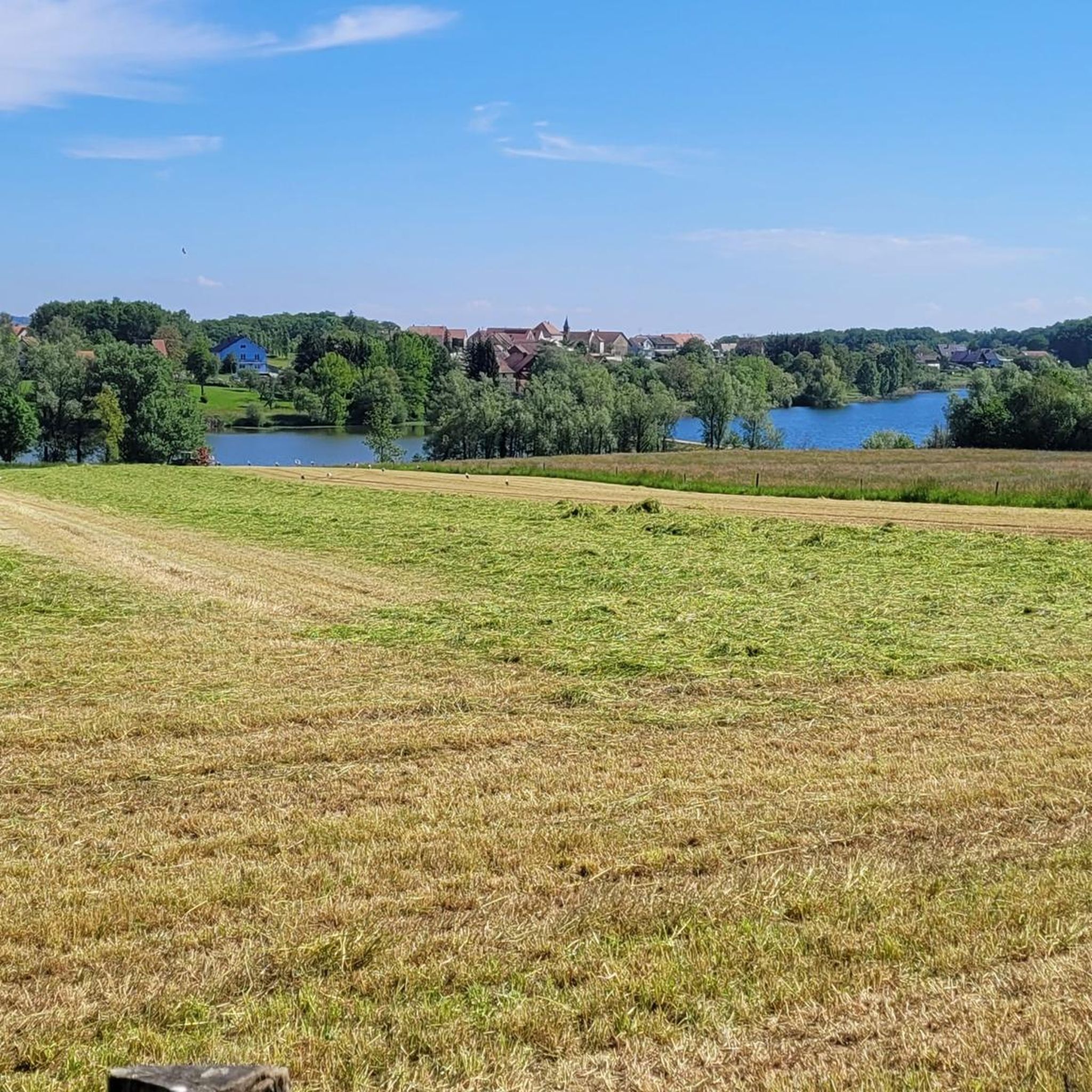
I liked this pleasant lake, its welcoming terrace. We wanted to return, from the woods, but had to turn back (Spring 2026). Access is now blocked by palisades with warning signs and monitored by cameras. The marked trails of the Club Vosgien have been rerouted. As a result, the desire to go to the bar was forgotten!
0
0

Swimming in the lake is prohibited! https://camping-lac-seigneurie.com/
0
0

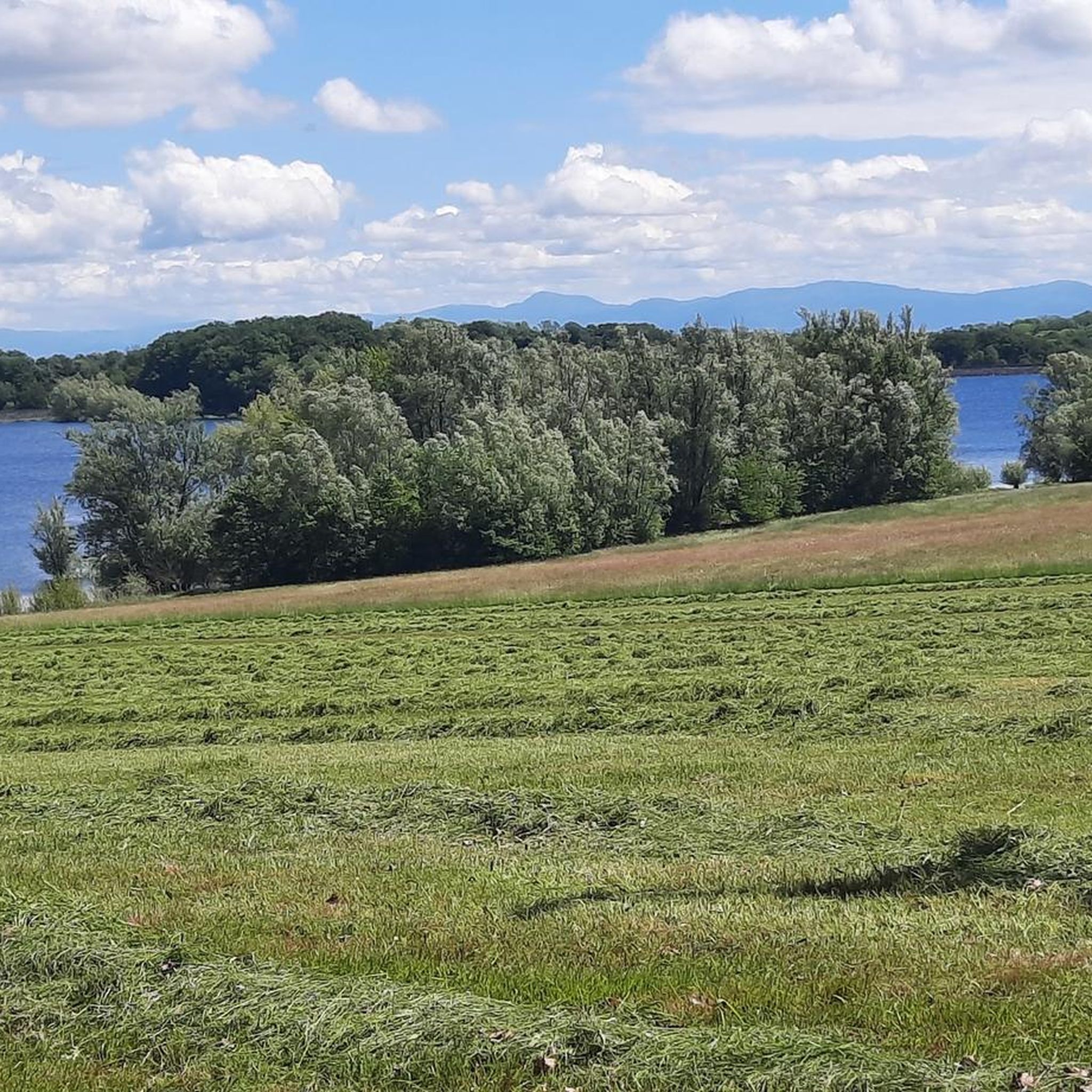
Calm lake with refreshment opportunities. Parking lot right on the street.
3
0
Frequently Asked Questions
How many hiking trails are available around Le Haut-Soultzbach?
There are over 470 hiking trails around Le Haut-Soultzbach, offering a wide variety of options for all skill levels. This includes more than 200 easy routes, 210 moderate routes, and 50 more challenging trails.
Are there any easy or short hikes suitable for beginners in Le Haut-Soultzbach?
Yes, Le Haut-Soultzbach offers numerous easy routes. For a shorter, less strenuous option, consider the Hiking loop from Mortzwiller, which is an easy 3.8-mile (6.1 km) trail that can be completed in under 2 hours.
What kind of scenery can I expect on hikes in Le Haut-Soultzbach?
Hiking around Le Haut-Soultzbach features a diverse landscape of rolling hills, a mix of open views, and forested areas. Many routes also offer waterside scenery around lakes, and views of charming villages and historical churches.
Are there any circular walks available in the area?
Yes, many trails around Le Haut-Soultzbach are circular. A popular option is the Soppe-le-Haut Church loop from Le Haut-Soultzbach, a 5.4-mile (8.7 km) route that takes you past the historic Soppe-le-Haut Church.
What are some interesting landmarks or attractions to see along the trails?
Hikers can discover several points of interest. You might encounter natural monuments like the Hundsruck Pass or the Fuchsfelsen Viewpoint. There are also historical sites such as the The Witch's Eye (Engelbourg Castle) and various local churches.
Are there any hikes that feature lakes or water views?
Absolutely. The region is known for its lakes. The Seigneurie Lake – Lac Seigneurie Campsite loop from Petitefontaine is a moderate 5.3-mile (8.5 km) path that winds around Seigneurie Lake, offering beautiful waterside views.
What do other hikers say about the trails in Le Haut-Soultzbach?
The trails in Le Haut-Soultzbach are highly regarded by the komoot community, with an average rating of 4.5 stars from over 1,400 reviews. Hikers often praise the well-maintained paths, the scenic variety of forests and open fields, and the peaceful atmosphere.
Are there any caves or unique geological features to explore?
Yes, for those interested in geological features, the Hohlenstein Cave – Chapelle St Anne loop from Lauw offers a chance to explore the Hohlenstein Cave as part of its 5.2-mile (8.4 km) route.
What is the best time of year to go hiking in Le Haut-Soultzbach?
The best time for hiking in Le Haut-Soultzbach is generally from spring through autumn (April to October), when the weather is mild and the natural scenery is at its most vibrant. Summer offers longer daylight hours, while spring and autumn provide pleasant temperatures and beautiful foliage.
Is parking readily available at trailheads in Le Haut-Soultzbach?
Parking is generally available in or near the villages that serve as starting points for many trails, such as Mortzwiller or Le Haut-Soultzbach itself. It's advisable to check specific route details for recommended parking spots.
Are there any huts or shelters along the hiking routes?
Yes, the region has several huts and shelters that can provide a resting spot or refuge. Notable examples include the Rossberg Ski Club Hut (SCR-Thann) and the Grambaechle Refuge (shelter).
Most popular routes around Le Haut-Soultzbach
Most popular attractions around Le Haut-Soultzbach

Get inspired with the komoot mobile app


Explore more
Browse the best Hikes in other regions.
