The best walks and hikes around Kramfors
4.7
(1122)
5,183
hikers
113
hikes
Hiking around Kramfors offers diverse terrain within Sweden's High Coast, a UNESCO World Heritage site known for its unique land uplift. The region features a landscape of deep forests, dramatic coastlines, and coastal mountains shaped by post-glacial geological processes. Hikers can explore areas with steep granite cliffs, rocky islands, and ancient woodlands. The Ångermanälven River also flows through the municipality, adding to the varied natural environment.
Best hiking trails around Kramfors
- The most popular hiking route is Slåttdalsberget Summit –…
Last updated: August 19, 2026
3.7
(3)
33
hikers
13.5km
04:15
520m
350m
Moderate hike. Good fitness required. Mostly accessible paths. Sure-footedness required.
4.9
(270)
969
hikers
Hard hike. Good fitness required. Sure-footedness, sturdy shoes and alpine experience required.

Sign up for free
5.0
(1)
26
hikers
9.41km
02:35
150m
180m
Moderate hike. Good fitness required. Easily-accessible paths. Suitable for all skill levels.
4.3
(6)
14
hikers
8.15km
02:34
280m
270m
Moderate hike. Good fitness required. Mostly accessible paths. Sure-footedness required.
5.0
(1)
16
hikers
8.94km
02:28
140m
170m
Moderate hike. Good fitness required. Easily-accessible paths. Suitable for all skill levels.
Get access to more routes and recommendations from other explorers.
Sign up for free
Already have an account?
Our route recommendations are based on thousands of hikes, rides, and runs completed by other people on komoot.
Start today with a free account
Your next adventure awaits.
Login or Signup
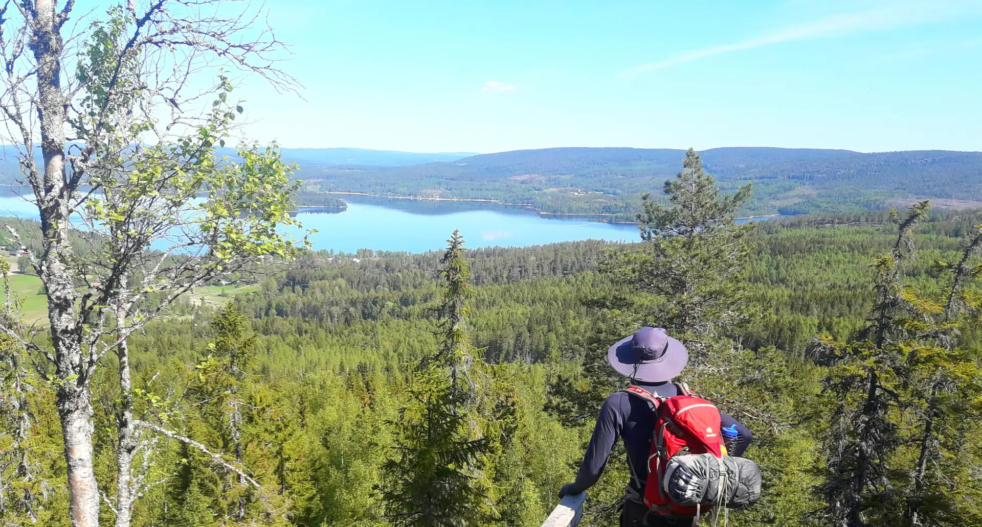
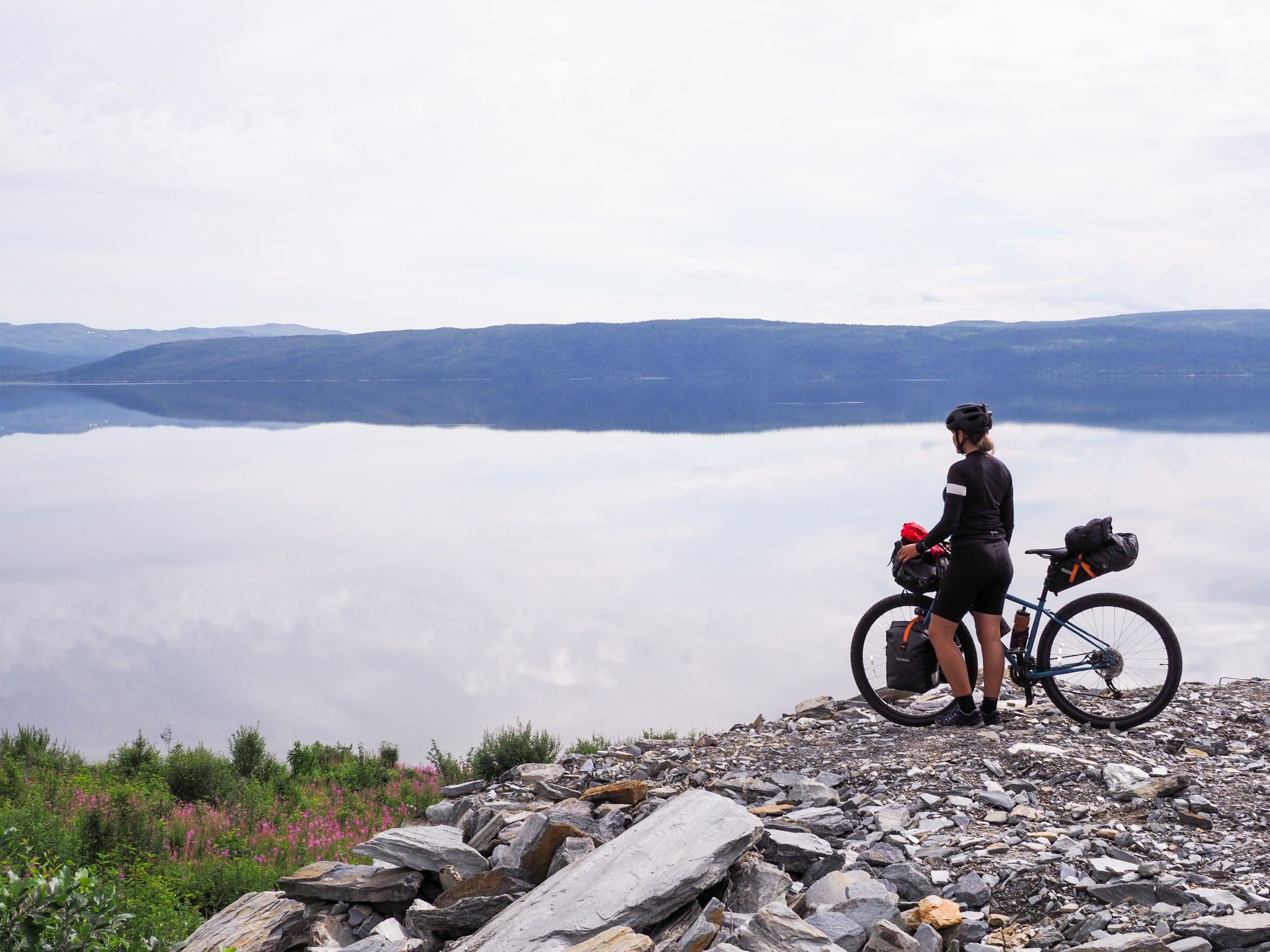
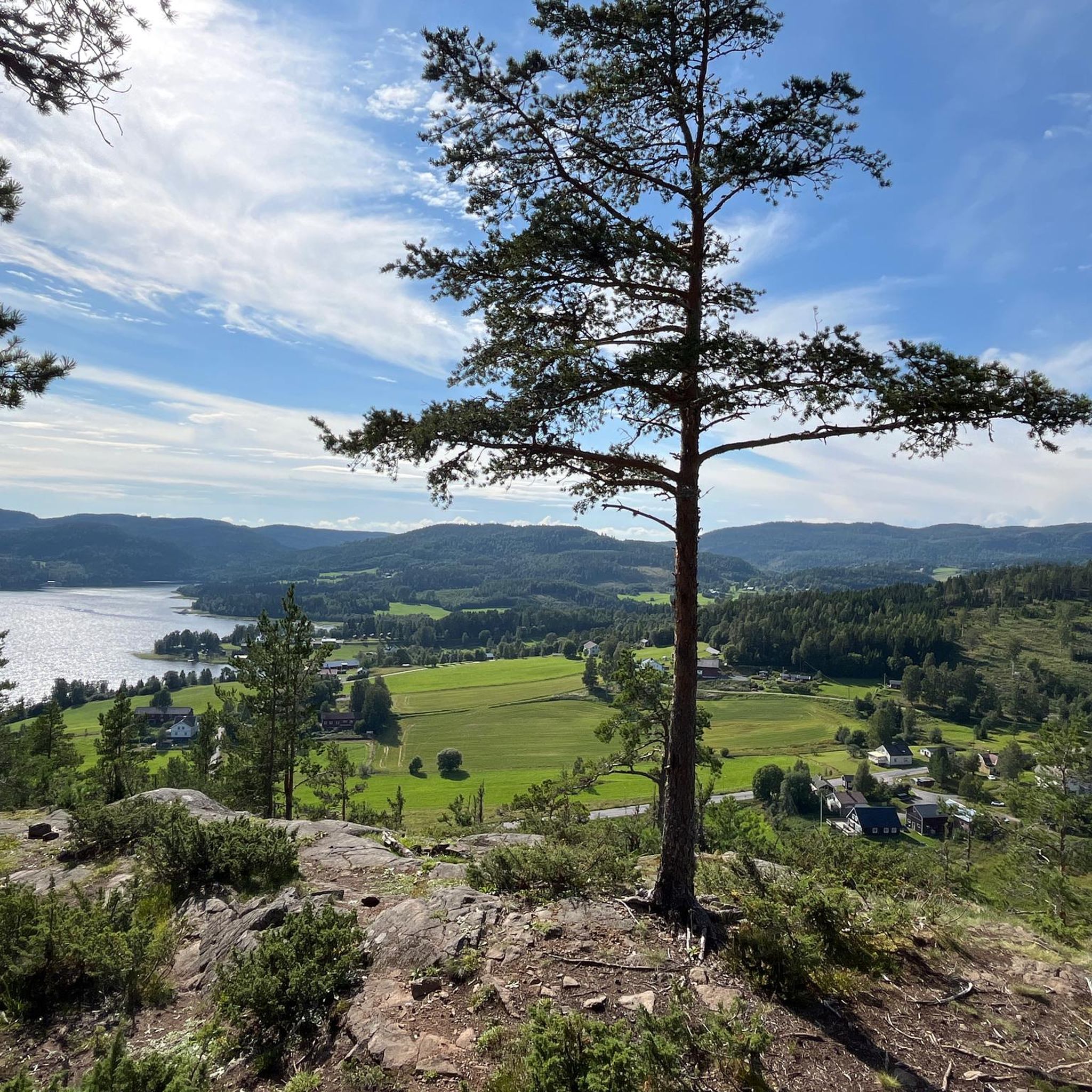
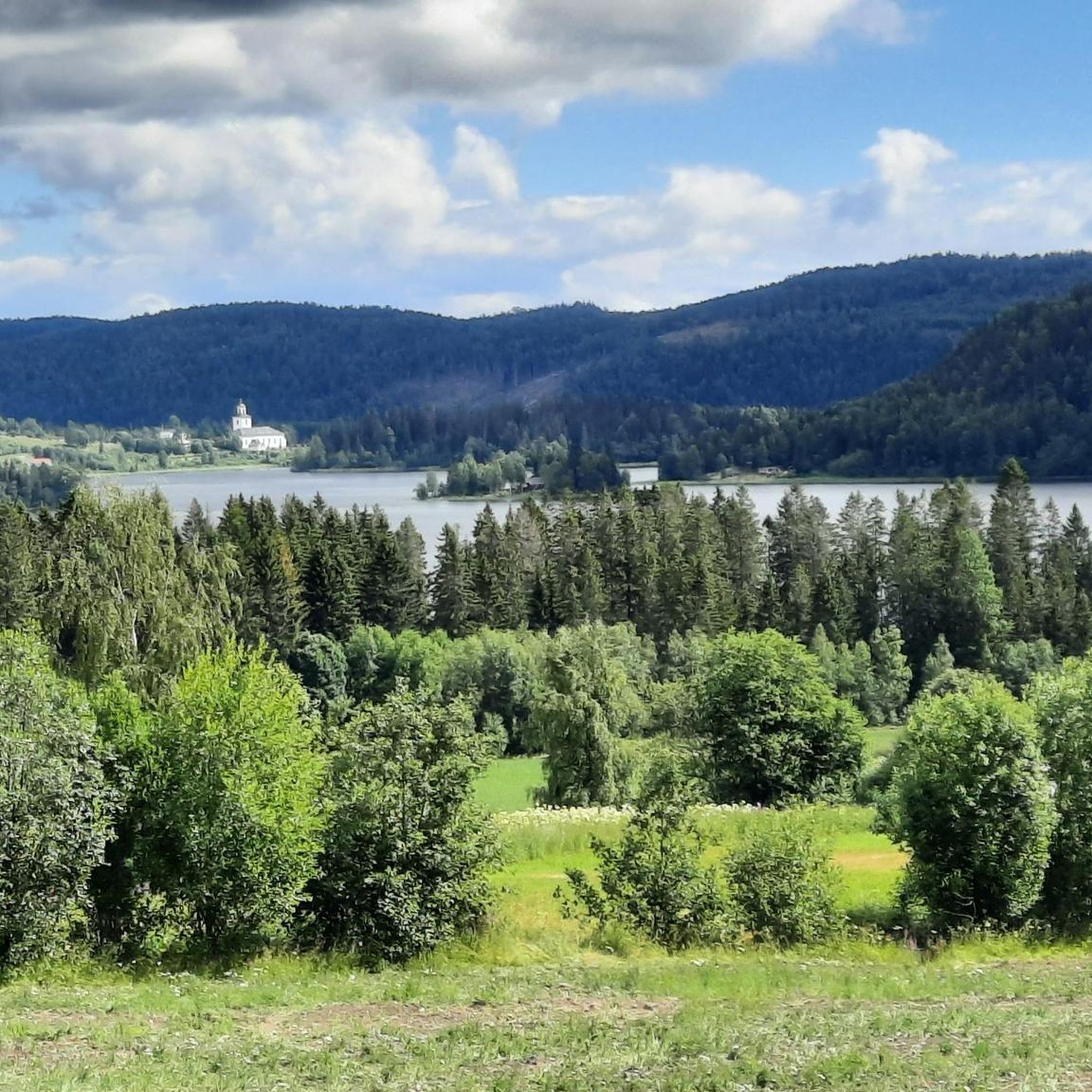



Tips from the Community


In the Högklintens Nature Reserve, you’ll come across large rock fields time and again, which create an unusual contrast to the forest and shrubland. They were formed an estimated 9,000 years ago by the force of the ocean waves, when this area was still at a lower elevation.
0
0
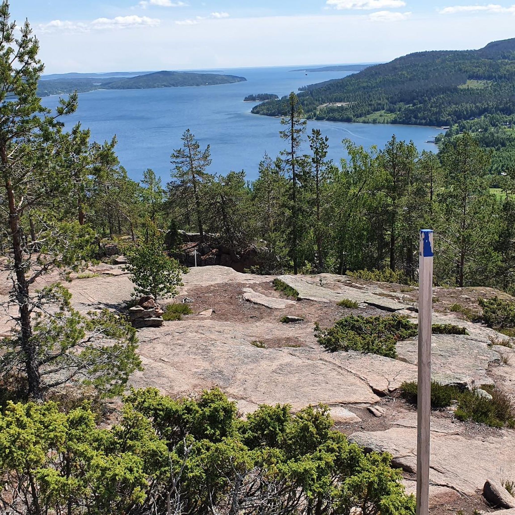
This is where the 281-meter-high summit of Högklinten is located, making it the highest point in the nature reserve. Despite a few weather-beaten pine trees on the summit plateau, you can enjoy a fantastic view in every direction. The coastline of the Höga Kusten is a spectacular sight.
0
0
In the Högklint Nature Reserve, you’ll walk through a landscape characterised by pink Nordingrå granite. The boulders and rocks are partly weathered grey, but are also frequently mottled, so that the reddish colour is clearly visible. Together with the green pine needles and the low, ground-covering bushes, this creates a stunning scene.
0
0

Beautiful view over the islands, probably the highest point in the national park
0
0
Unfortunately currently closed due to rockfall, the path leads around the outside!
0
0

https://gavikstorpet.com/boende/taltplatser/ B&B with camping pitch, cooking area, and hot outdoor shower
0
0

I would describe it as a climb up and down. The descent, along the route, is equipped with aids. There were also people walking the trail with their dogs.
0
0
Frequently Asked Questions
How many hiking trails are available in Kramfors?
Kramfors offers a wide array of hiking opportunities, with over 100 trails documented on komoot. These routes cater to various preferences, from easy strolls to challenging climbs, all set within the stunning High Coast landscape.
What kind of terrain can I expect when hiking in Kramfors?
The terrain in Kramfors is incredibly diverse, shaped by the unique land uplift of the High Coast. You'll encounter ancient forests, dramatic coastlines with steep granite cliffs, and rocky islands. Trails often lead through rugged mountain areas, along serene riverbanks like the Ångermanälven, and past striking geological formations such as those found in Skuleskogen National Park.
Are there easy hiking options suitable for beginners or families in Kramfors?
Yes, Kramfors has over 50 easy hiking routes perfect for beginners or families. While specific easy routes aren't detailed here, the region offers many shorter, less strenuous paths. For example, the Kyrkviken nature trail in central Kramfors and the Lilla Högakustenleden provide accessible ways to experience the area's beauty without significant challenge. Many trails within Skuleskogen National Park also have easier sections.
Are there any circular hiking routes in Kramfors?
Yes, Kramfors features several excellent circular hiking routes. A popular option is the Slåttdalsberget Summit – Slåttdalsskrevan Gorge loop from Skuleskogen Entré Syd, which takes you through Skuleskogen National Park. Another is the Trollporten (The Troll's Gate) – View of the Slåttdalsskrevan Gorge loop from Moberget, leading to a unique rock formation and gorge viewpoint. The summit of Skuleberget also offers a circular trail with breathtaking views.
Can I bring my dog on the hiking trails in Kramfors?
Generally, dogs are welcome on hiking trails in Kramfors, especially outside of national parks. However, within Skuleskogen National Park, dogs must be kept on a leash at all times to protect wildlife. Always ensure your dog is under control and that you clean up after them. It's advisable to check specific trail regulations before you go.
What are some notable natural attractions or landmarks to see while hiking in Kramfors?
Kramfors is rich in natural attractions. You can explore the ancient forests and dramatic rock formations of Skuleskogen National Park, including the impressive Slåttdalsskrevan gorge. Skuleberget Mountain offers panoramic views and can be reached via hiking trails. The archipelago boasts charming former fishing villages and islands like Högbonden with its lighthouse, and Mjältön, Sweden's highest island. Along some routes, you might encounter serene spots like Oxlatten Lake Shore or find shelter at Tärnättvattnet Hut.
What is the best time of year to go hiking in Kramfors?
The best time for hiking in Kramfors is typically from late spring to early autumn (May to September). During these months, the weather is milder, and the trails are generally free of snow and ice. Summer offers long daylight hours, while early autumn provides beautiful fall foliage. Winter hiking is possible but requires appropriate gear and experience due to snow and colder temperatures.
Are there any challenging hikes for experienced trekkers in Kramfors?
Absolutely. Kramfors, particularly within the High Coast, offers several challenging routes. The Vildmarksleden is a difficult 37.8 km path providing an extensive wilderness experience. The ascent to View from Skuleberget – World's Highest Coastline loop from Skuleberget also presents a significant challenge with its elevation gain. These routes often feature rugged terrain and considerable elevation changes, ideal for experienced hikers.
Is parking available at the trailheads in Kramfors?
Yes, parking is generally available at the main trailheads and popular starting points for hikes in Kramfors, especially around key attractions like Skuleskogen National Park entrances (e.g., Entré Syd) and Skuleberget. Some smaller, more remote trails might have limited parking, so it's always good to plan ahead.
How can I reach hiking trails in Kramfors using public transport?
Public transport options to reach hiking trails in Kramfors can vary. Buses serve some of the larger towns and villages within the municipality, which may provide access points to trails. For areas like Skuleskogen National Park or Skuleberget, there might be seasonal bus services or connections from Kramfors town. It's recommended to check local bus schedules for the specific area you plan to hike.
What do other hikers say about the trails in Kramfors?
The hiking trails in Kramfors are highly regarded by the komoot community, boasting an impressive average rating of 4.7 stars from over 900 reviews. Hikers frequently praise the stunning coastal views, the unique geological formations, and the well-maintained paths through ancient forests. Many appreciate the diverse options available, from challenging climbs to serene nature walks.
Are there any huts or shelters available along the hiking routes in Kramfors?
Yes, particularly within Skuleskogen National Park and along longer trails like the High Coast Trail, you can find huts and shelters. These provide opportunities for overnight stays or a place to rest. Examples include Island Cabin in Skuleskogen National Park, Erikskojan Hut, and Nipstugan Cabin. It's advisable to check availability and any booking requirements in advance.
Most popular attractions around Kramfors

Get inspired with the komoot mobile app


Explore more
Browse the best Hikes in other regions.
