The best MTB trails around Arronches
16
riders
6
rides
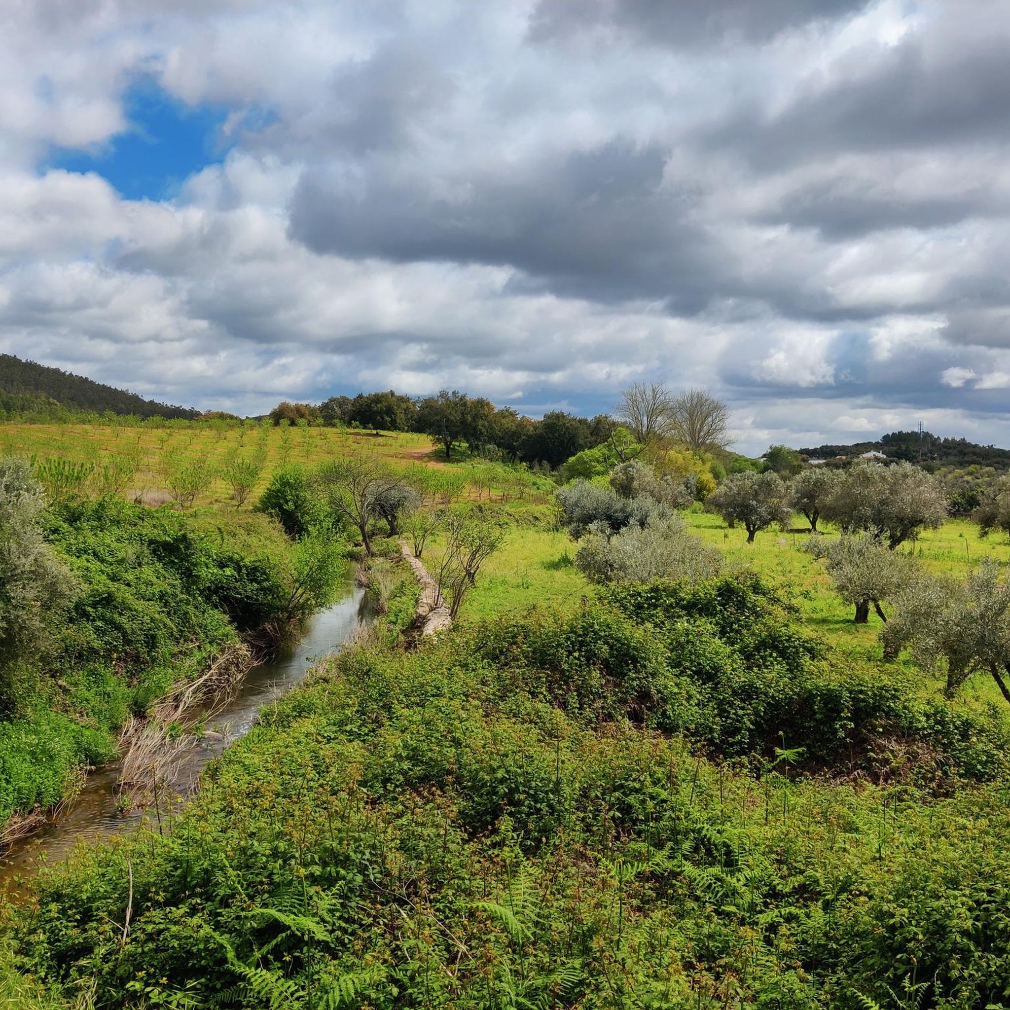
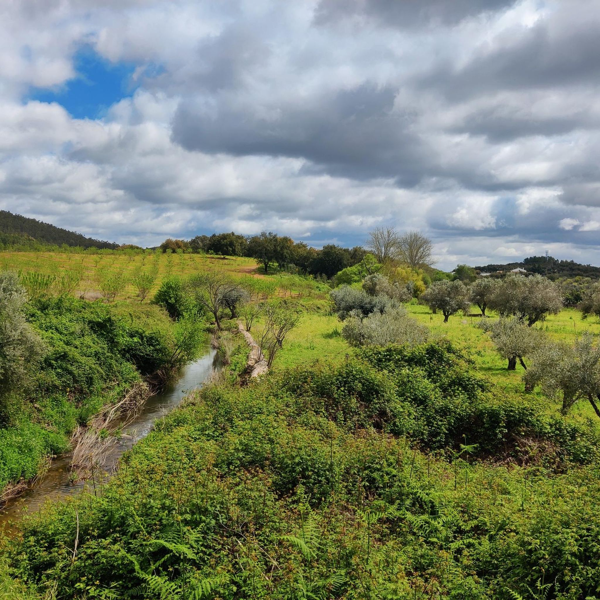
Mountain biking around Arronches offers diverse terrain within Portugal's Alentejo region. The area is characterized by rolling hills, lush landscapes, and proximity to the Serra de São Mamede Natural Park. This natural park features rugged mountains and varied topography, providing a suitable environment for mountain bike trails. The presence of rivers and expansive countryside views further defines the scenic appeal of the region for outdoor exploration.
Best mountain bike trails around Arronches
- The most popular mountain bike trail is Castle…
Last updated: October 1, 2026
5
riders
70.2km
05:02
420m
420m
Hard mountain bike ride. Very good fitness required. Suitable for all skill levels.
3
riders
38.5km
03:20
700m
700m
Moderate mountain bike ride. Good fitness required. Suitable for all skill levels.

2
riders
43.6km
02:50
650m
650m
Moderate mountain bike ride. Good fitness required. Suitable for all skill levels.
3
riders
56.6km
05:23
1,260m
1,260m
Hard mountain bike ride. Very good fitness required. Suitable for all skill levels.
1
riders
37.6km
03:28
740m
740m
Moderate mountain bike ride. Good fitness required. Suitable for all skill levels.
Our route recommendations are based on thousands of hikes, rides, and runs completed by other people on komoot.
Start today with a free account
Your next adventure awaits.

Tips from the Community

Het kasteel is vermoedelijk door de Moren gesticht speelde een belangrijke rol in de verdediging van het nationale grondgebied, gezien de strategische ligging nabij de grens,
0
0

Ascent to the highest point of the mountain range. A view worth the effort.
0
0

Cruz do Cume is a small crossroads located in the Serra de São Mamede, in the district of Portalegre, in the northeast of Alentejo, near the city of Portalegre. It is located about 1 km downhill from Alto de São Mamede, which is the highest point in the mountain range at 1025 metres above sea level. This location is known as a good birdwatching spot, especially for species such as the crested tit and the linnet, and is surrounded by pine forests that are home to other birds such as the crested tit and the coal tit. Cruz do Cume also serves as a support and access point for outdoor activities, such as hiking and trail running, and is a stopover point for important races such as the Ultra Trail São Mamede (UTSM). In short, Cruz do Cume is an emblematic location in the Serra de São Mamede, valued for its nature, birdlife and relevance for mountain sports.
2
0

One of the few places with water at the top of São Mamede. In years with little rainfall, it can dry out in the summer.
2
0
Final access point to the top of São Mamede. Easy parking spot for those who want to walk or run in the heart of the mountains. Support place for competitors of the 2 major Trail Running events in the region, UTSM and Reis.
1
0
Recent intervention in the monument makes this border destination an excellent option for those who enjoy walking through preserved historic areas.
2
0
Close to Senhora da Lapa, already in Spanish territory, an old air traffic lighthouse.
1
0
Frequently Asked Questions
What kind of terrain can I expect on mountain bike trails around Arronches?
Mountain biking around Arronches offers diverse terrain, characterized by rolling hills, lush landscapes, and rugged mountains, especially within the nearby Serra de São Mamede Natural Park. You'll find varied topography suitable for different skill levels, from moderate ascents and descents to more challenging climbs.
Are there mountain bike routes suitable for beginners or those looking for an easier ride?
While the listed routes include moderate and difficult options, the region's varied topography suggests there are easier paths to explore. For example, the Alentejo region is known for its rolling hills, which can offer less strenuous rides. You can filter for easier routes on komoot to find options that match your skill level.
What are some notable landmarks or attractions I can see while mountain biking near Arronches?
Several routes pass by interesting landmarks. For instance, the Castle of Campo Maior – Valdebotoa Bridge loop from Campo Maior explores local countryside and historic sites like the Castle of Campo Maior. Another route, Colorful Portalegre – Portalegre Castle loop from Portalegre, offers scenic views and passes by the historic Portalegre Castle. Other nearby attractions include the Capela dos Ossos de Campo Maior and the Bridge over the Caia River.
Are there any circular mountain bike routes available?
Yes, all the highlighted mountain bike routes around Arronches are circular loops. Examples include the Castle of Campo Maior – Valdebotoa Bridge loop from Campo Maior, the Colorful Portalegre – Portalegre Castle loop from Portalegre, and the São Mamede Spring – São Mamede Trail loop from Caia.
What is the best time of year for mountain biking in Arronches?
The Alentejo region generally offers pleasant conditions for outdoor activities for much of the year. Spring and autumn typically provide milder temperatures, making them ideal for mountain biking. Summers can be hot, especially in the middle of the day, while winters are generally mild but can have more rainfall.
How long do mountain bike routes in this area typically take to complete?
The duration varies depending on the route's length and difficulty. For example, the moderate Castle of Campo Maior – Valdebotoa Bridge loop from Campo Maior, at 42.6 miles (68.6 km), typically takes around 4 hours 58 minutes. The difficult São Mamede Spring – São Mamede Trail loop from Caia, covering 33.4 miles (53.8 km), is often completed in about 4 hours 12 minutes.
What are the elevation gains like on mountain bike trails near Arronches?
Elevation gains vary significantly across the region's diverse terrain. Moderate routes like the Castle of Campo Maior – Valdebotoa Bridge loop from Campo Maior have an elevation gain of approximately 410 meters. More challenging routes, such as the São Mamede Spring – São Mamede Trail loop from Caia, can feature substantial climbs, with an elevation gain of around 1186 meters.
Are there any mountain bike trails that offer particularly scenic views?
Yes, the region is known for its picturesque landscapes. The Colorful Portalegre – Portalegre Castle loop from Portalegre offers scenic views of the Alentejo landscape. The proximity to the Serra de São Mamede Natural Park also means many trails provide breathtaking views of rugged mountains, lush valleys, and expansive countryside.
What is the overall difficulty level of mountain biking in Arronches?
Mountain biking around Arronches offers a range of difficulties. You can find moderate routes that explore the countryside and historic landmarks, as well as more difficult trails that lead through the rugged terrain of the Serra de São Mamede Natural Park. This variety ensures options for different ability levels.
How many mountain bikers have explored routes in Arronches using komoot?
Over 8 mountain bikers have used komoot to explore the varied terrain around Arronches, indicating a growing interest in the region's trails.
Can I find mountain bike routes that pass by rivers or water features?
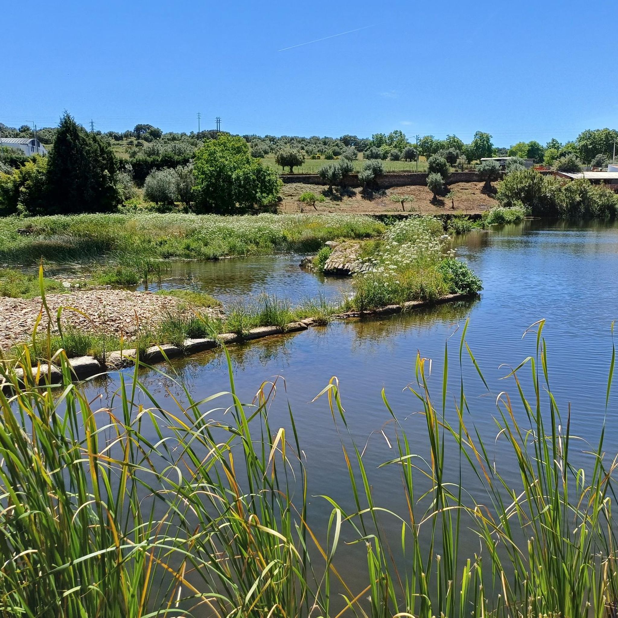
Yes, the region's natural features include rivers, such as the Rio Caia. The Bridge over the Caia River is a notable highlight, suggesting that some routes will offer views or crossings of this fish-filled river, adding to the scenic appeal of your ride.
Most popular attractions around Arronches

Get inspired with the komoot mobile app


Explore more
Browse the best MTB trails in other regions.
