The best walks and hikes around Entroncamento
4.9
(14)
54
hikers
16
hikes
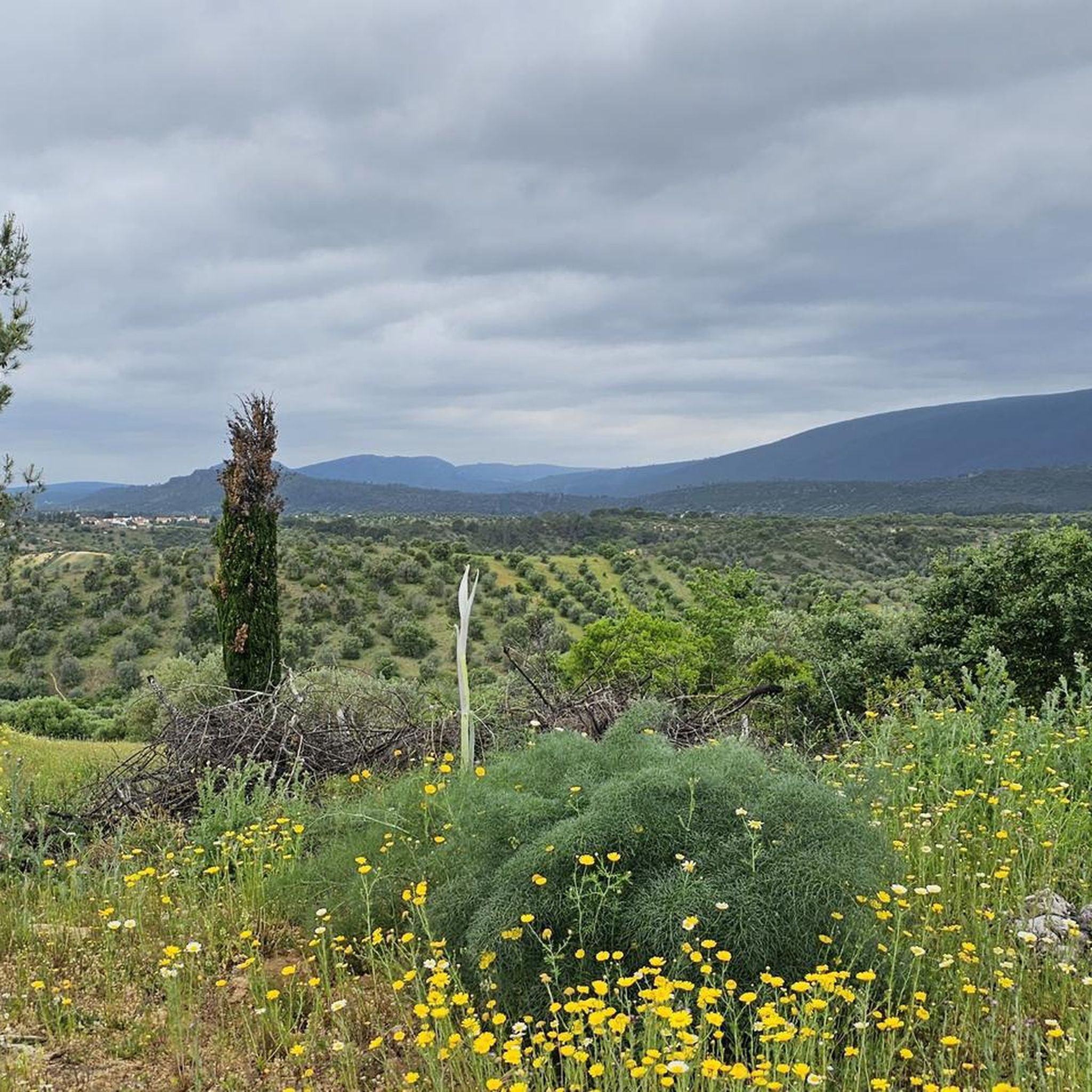
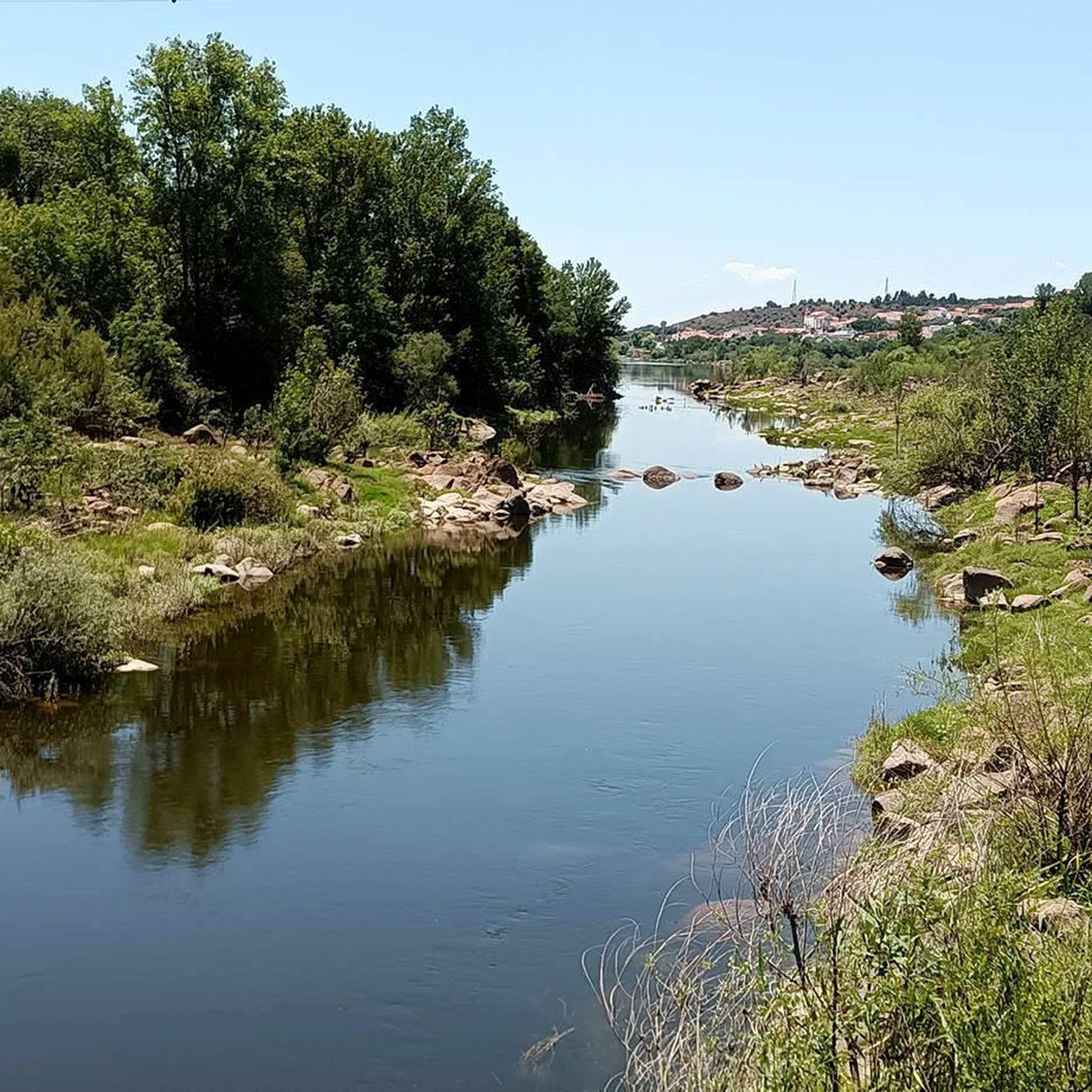
Hiking around Entroncamento offers routes through varied landscapes, characterized by the flat plains of the Ribatejo region and the proximity to the Tagus River. The terrain often features agricultural fields, scattered woodlands, and historical sites. Elevation changes are generally gentle, making many routes accessible for various fitness levels.
Best hiking trails around Entroncamento
- The most popular hiking route is Almourol Castle – Fonte de Pulcinis loop from Câmara Municipal de Vila Nova da Barquinha, a 9.3 miles (15.0 km)…
Last updated: October 11, 2026
4.7
(11)
39
hikers
Moderate hike. Good fitness required. Easily-accessible paths. Suitable for all skill levels.
5.0
(1)
5
hikers
10.7km
02:54
150m
150m
Moderate hike. Good fitness required. Easily-accessible paths. Suitable for all skill levels.

2
hikers
5.01km
01:21
70m
70m
Easy hike. Great for any fitness level. Easily-accessible paths. Suitable for all skill levels.
5.0
(1)
5
hikers
21.4km
05:46
270m
270m
Hard hike. Very good fitness required. Easily-accessible paths. Suitable for all skill levels.
2
hikers
14.8km
04:03
220m
220m
Moderate hike. Good fitness required. Easily-accessible paths. Suitable for all skill levels.
Get access to more routes and recommendations from other explorers.
Already have an account?
Our route recommendations are based on thousands of hikes, rides, and runs completed by other people on komoot.
Start today with a free account
Your next adventure awaits.

Tips from the Community

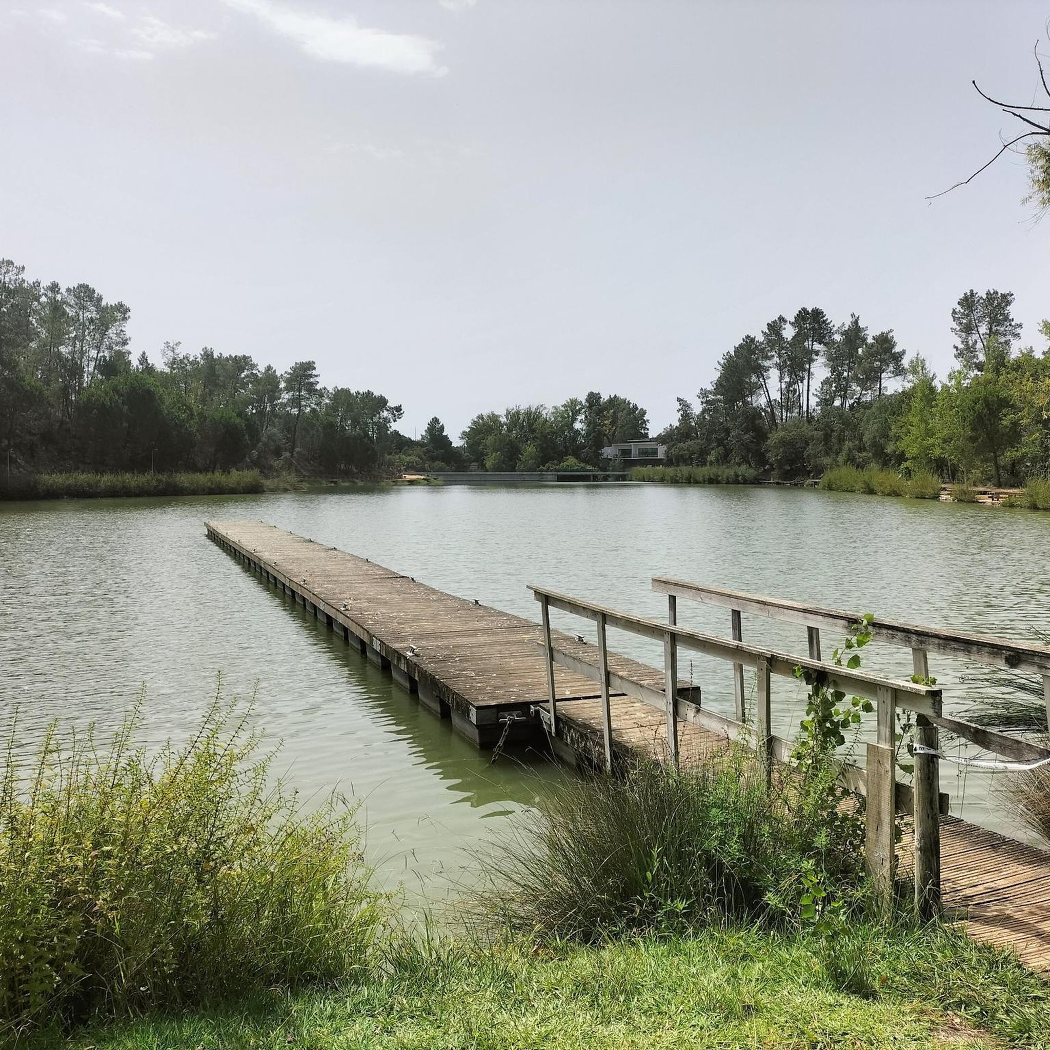
The water point is not good for drinking, only for cooling.
1
0
Frequently Asked Questions
What kind of terrain can I expect on hiking trails around Entroncamento?
The hiking trails around Entroncamento primarily feature the flat plains of the Ribatejo region, often with agricultural fields and scattered woodlands. You'll also find routes close to the Tagus River. Elevation changes are generally gentle, making most trails accessible for various fitness levels.
Are there many easy hiking trails suitable for beginners in Entroncamento?
Yes, Entroncamento offers several easy hiking options. Out of approximately 19 trails in the area, 2 are specifically rated as easy. These routes typically have gentle gradients and shorter distances, perfect for those new to hiking or looking for a relaxed walk. An example is the Grutas de Lapas loop from Torres Novas, which is 3.1 miles (5.0 km) long.
What is the typical length and duration of hikes in the Entroncamento area?
Hikes around Entroncamento vary in length and duration. You can find shorter routes like the 3.1-mile (5.0 km) Grutas de Lapas loop from Torres Novas, which takes about 1 hour 21 minutes. Longer, more challenging routes, such as the Castelo De Torres Novas – Grutas de Lapas loop from Torres Novas, can be up to 15.5 miles (25.0 km) and take over 6 hours to complete.
Are there any circular walking routes available in Entroncamento?
Yes, many of the hiking trails around Entroncamento are circular, offering convenient starting and ending points. A popular circular route is the Almourol Castle – Fonte de Pulcinis loop from Câmara Municipal de Vila Nova da Barquinha, which is 9.3 miles (15.0 km) long and takes nearly 4 hours.
What historical sites or natural attractions can I see along the hiking trails?
Hiking trails in the Entroncamento region often pass by significant historical and natural landmarks. You can explore the area around the unique geological features of the Grutas de Lapas, or visit the iconic Almourol Castle, a medieval castle situated on an island in the Tagus River. Other points of interest include the Ponte João Joaquim Isidro dos Reis and the Fonte da Galiana.
Is Entroncamento a good destination for family-friendly hikes?
Given the generally gentle elevation changes and the presence of easy-rated trails, Entroncamento can be a good option for family-friendly hikes. Shorter, less strenuous routes are available, allowing families to enjoy the natural and historical surroundings together. Always check the specific trail details for distance and difficulty to ensure it's suitable for all family members.
What do other hikers say about the trails in Entroncamento?
The trails in Entroncamento are highly regarded by the komoot community, with an average rating of 4.4 stars from over 14 reviews. Hikers often praise the varied terrain, which includes riverine landscapes and agricultural plains, as well as the historical points of interest like Almourol Castle.
Are there any dog-friendly walking routes in Entroncamento?
While specific restrictions can vary, many natural trails in the Entroncamento area are generally suitable for walking with dogs, provided they are kept on a leash and you follow local regulations. It's always recommended to check individual route descriptions for any specific rules regarding pets, especially in protected areas or near historical sites.
What is the best time of year to go hiking in Entroncamento?
The region around Entroncamento experiences hot, dry summers and mild, wet winters. The most pleasant times for hiking are typically spring (April to June) and autumn (September to November), when temperatures are moderate and the landscape is lush. Winter can also be suitable for hiking on milder days, but be prepared for potentially wet conditions.
Can I reach hiking trails around Entroncamento using public transport?
Entroncamento is a significant railway hub in Portugal, which can facilitate access to the region. While direct public transport to every trailhead might not be available, you can often reach nearby towns like Torres Novas or Vila Nova da Barquinha by bus or train, and then potentially connect to trail starting points. Planning ahead with local transport schedules is advisable.
Are there any longer, more challenging hikes for experienced hikers?
Yes, for experienced hikers seeking a challenge, Entroncamento offers more difficult routes. For example, the Grutas de Lapas – Castelo De Torres Novas loop from Torres Novas is a demanding 11.8-mile (19.0 km) trail with significant elevation gain, taking over 5 hours to complete.
Most popular routes around Entroncamento
Most popular attractions around Entroncamento

Get inspired with the komoot mobile app


Explore more
Browse the best Hikes in other regions.
