The best road cycling routes around Vila Real De Santo António
4.5
(72)
3,708
riders
96
rides
Road cycling routes around Vila Real de Santo António are situated in the eastern Algarve, characterized by a diverse landscape that includes extensive coastal plains, the Guadiana River basin, and inland rolling hills. The region features the Mata Nacional das Dunas Litorais, a large pine forest, and the Castro Marim and Vila Real de Santo António Marshland Nature Reserve. This varied terrain provides a mix of flat coastal rides and more challenging routes with moderate elevation gains further inland.
Best…
Last updated: October 10, 2026
161km
07:53
2,130m
2,130m
Hard road ride. Very good fitness required. Mostly well-paved surfaces and easy to ride.
4.0
(1)
302
riders
108km
05:01
1,250m
1,250m
Hard road ride. Very good fitness required. Mostly well-paved surfaces and easy to ride.

3.8
(5)
166
riders
Moderate road ride. Good fitness required. Some segments of this route may be unpaved and difficult to ride.
5.0
(2)
185
riders
36.0km
01:30
200m
200m
Easy road ride. Great for any fitness level. Mostly well-paved surfaces and easy to ride.
4.0
(9)
141
riders
Moderate road ride. Good fitness required. Some segments of this route may be unpaved and difficult to ride.
Get access to more routes and recommendations from other explorers.
Already have an account?
Our route recommendations are based on thousands of hikes, rides, and runs completed by other people on komoot.
Start today with a free account
Your next adventure awaits.
Popular around Vila Real De Santo António
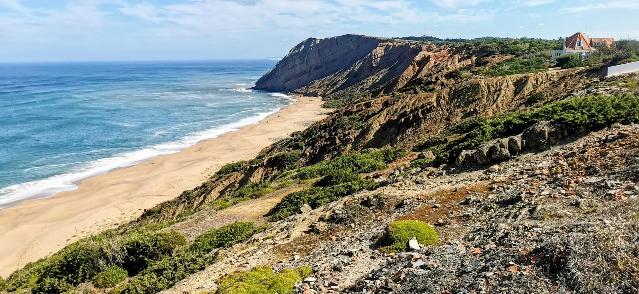
EuroVelo 1 Portugal – Cycle the Atlantic Coast
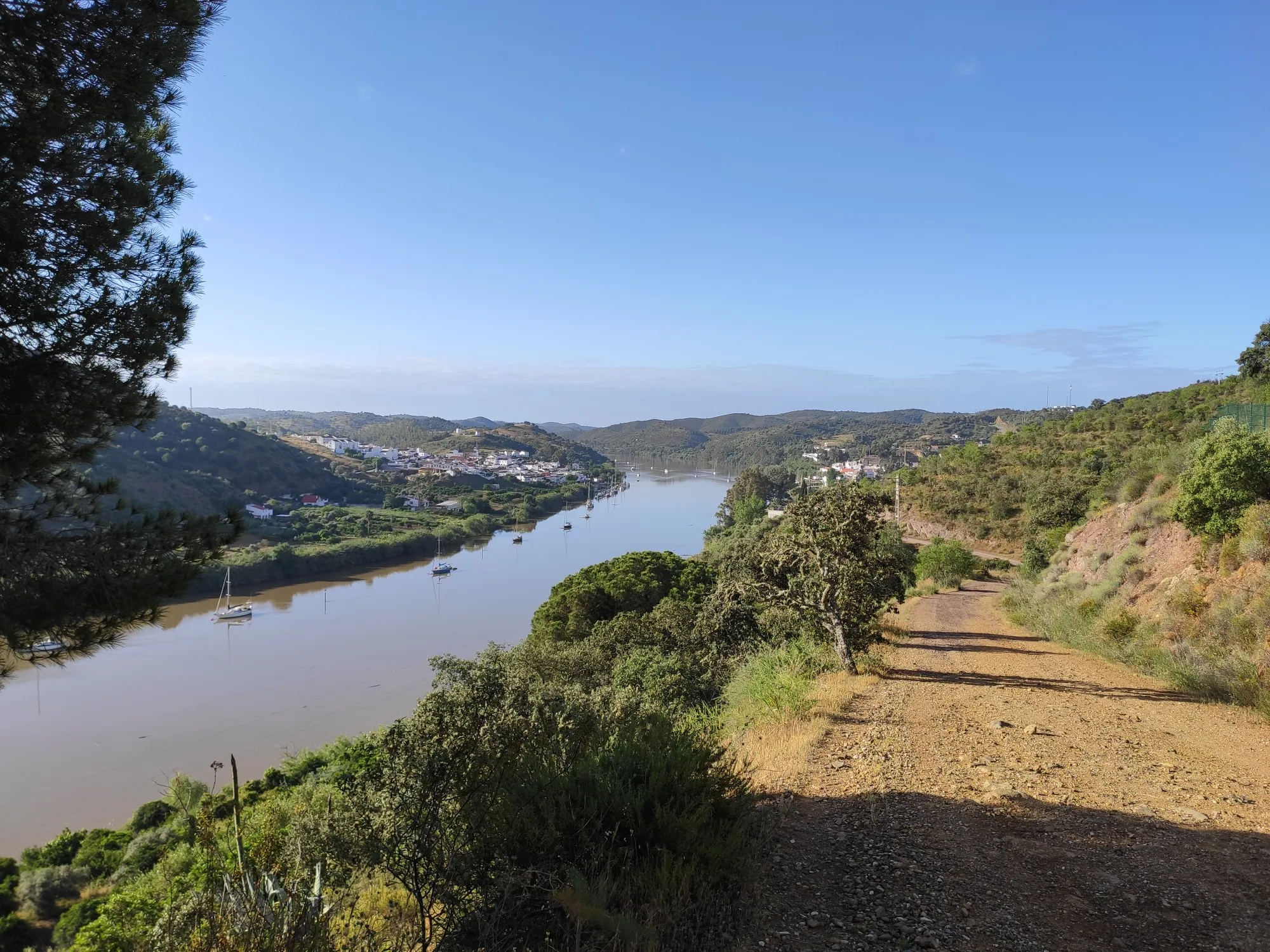
Stories of a river - Great Guadiana Route (GR 15)
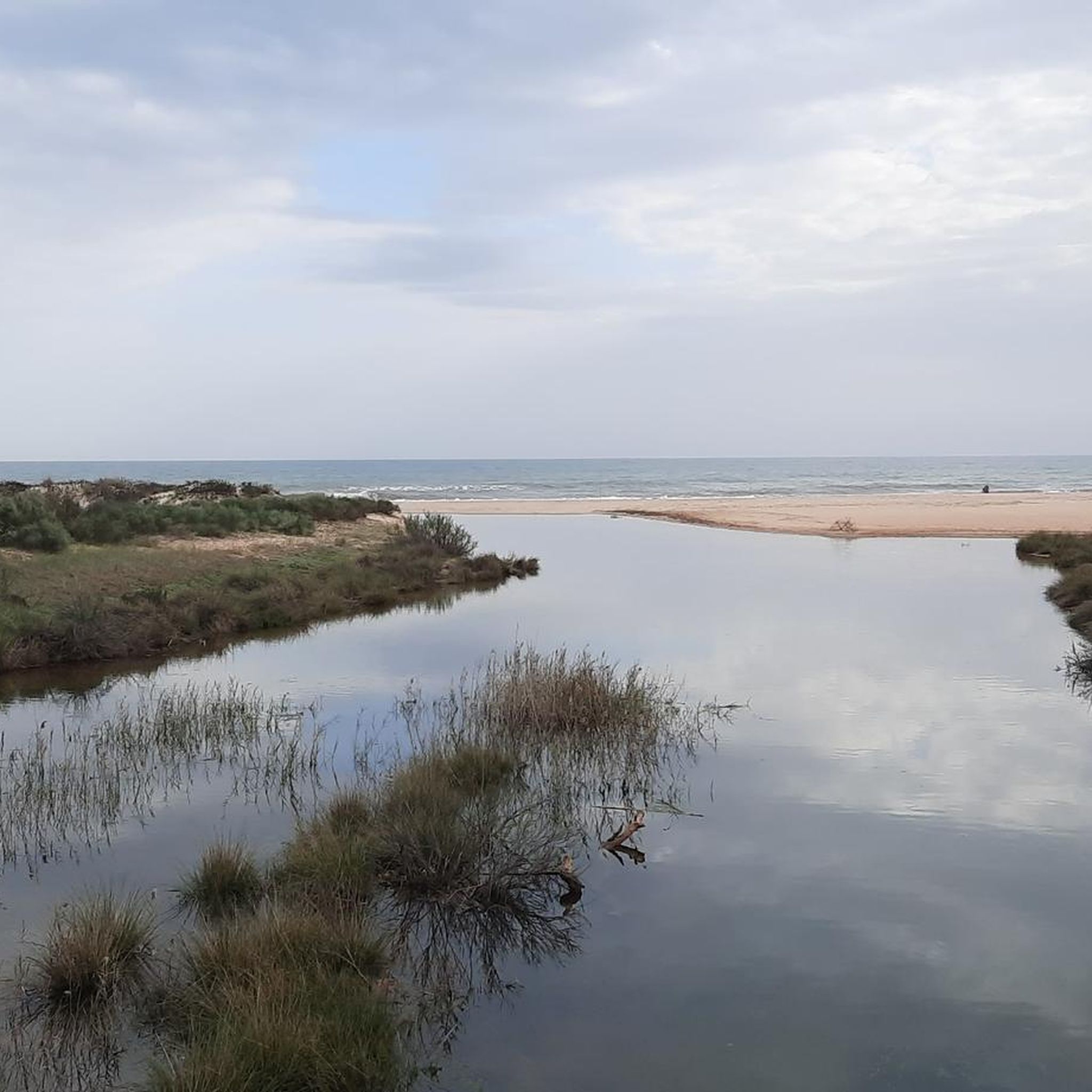
Hiking around Vila Real De Santo António
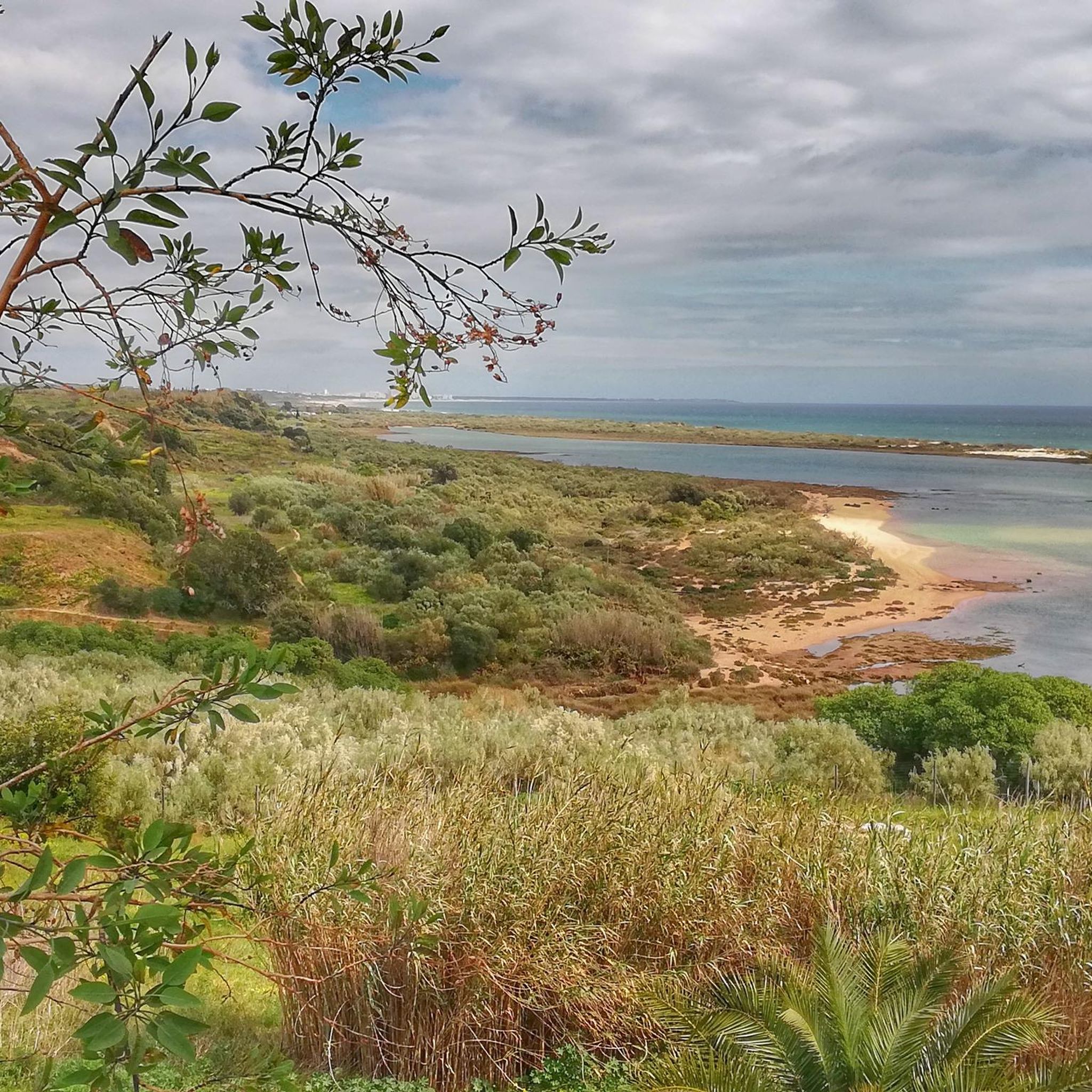
Running Trails around Vila Real De Santo António
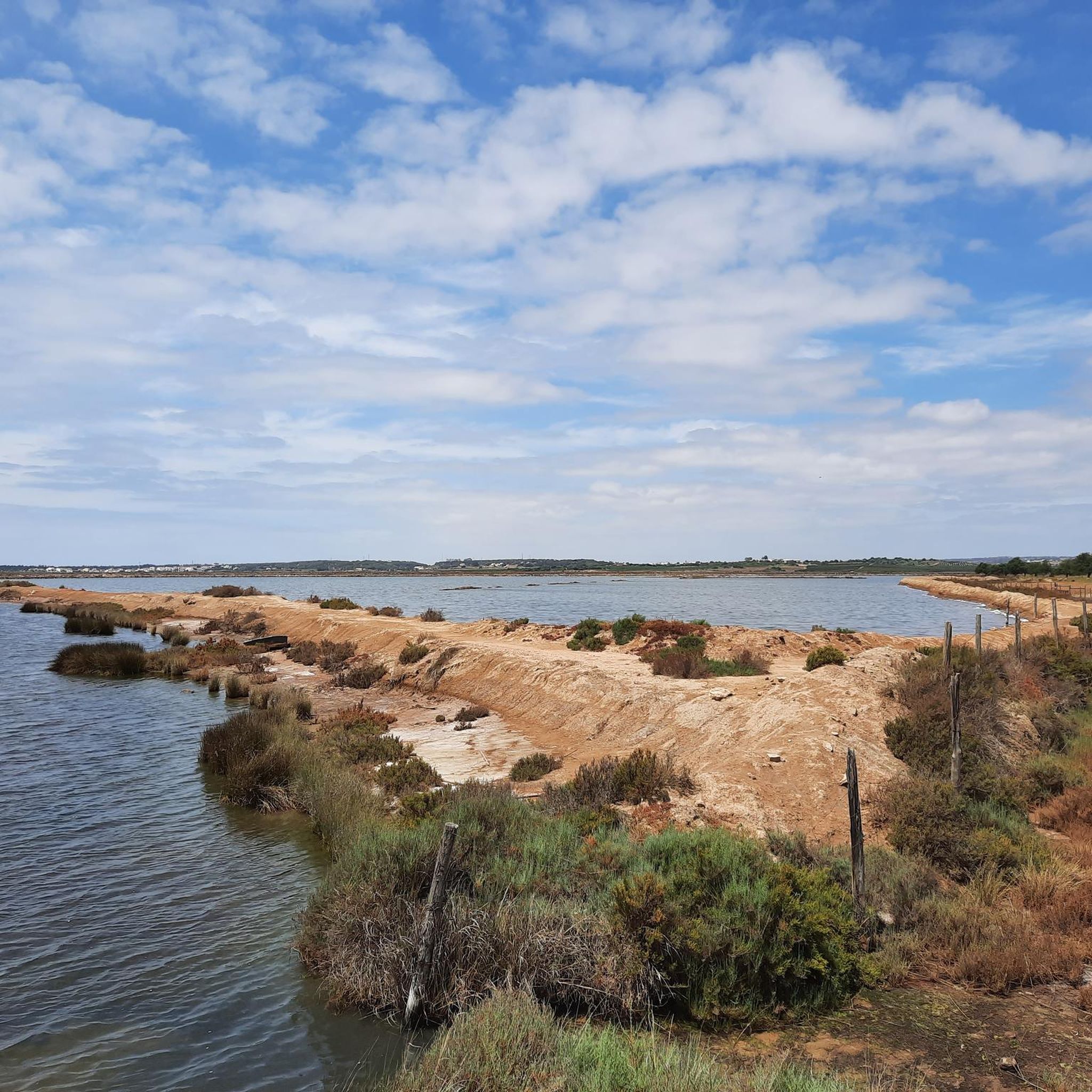
Cycling around Vila Real De Santo António
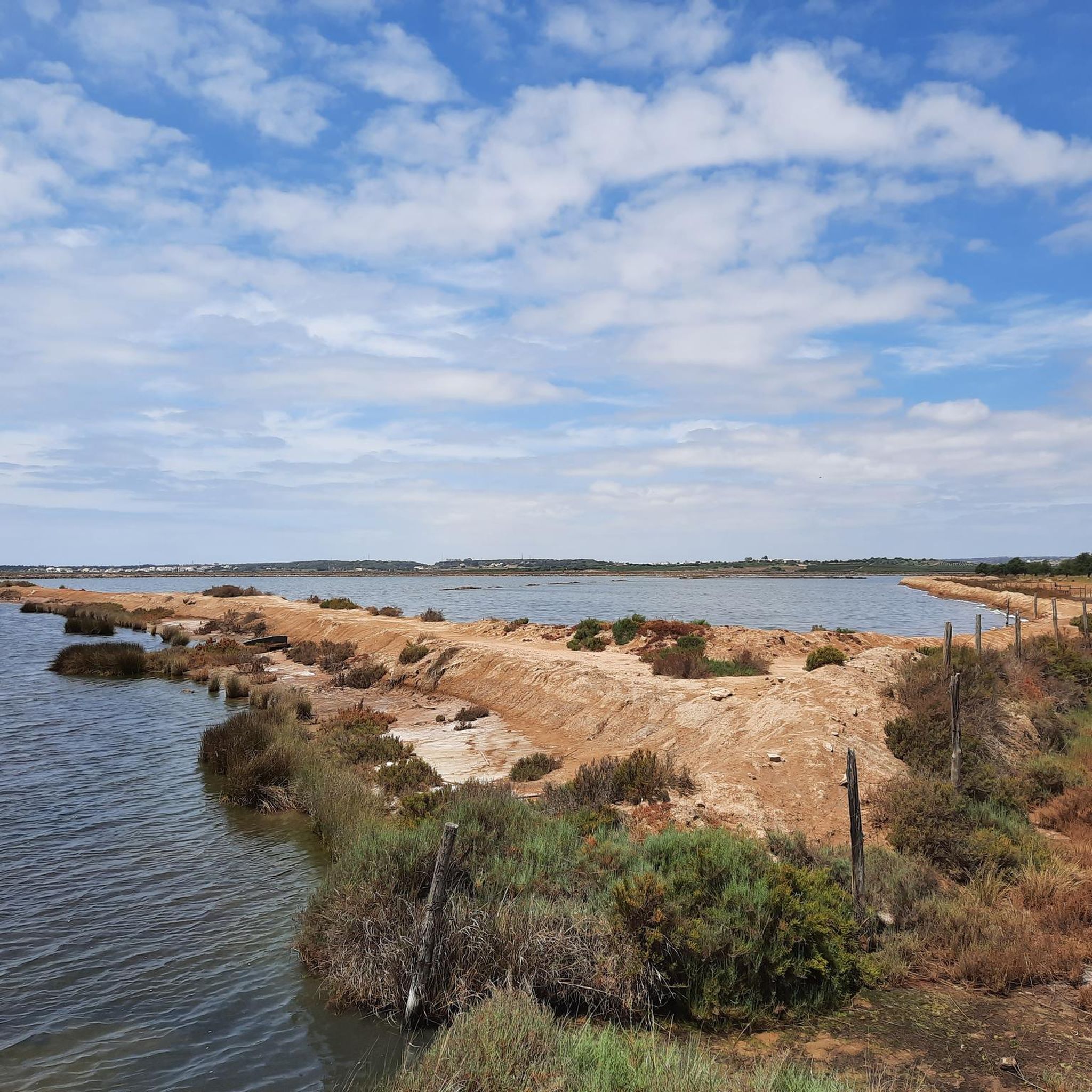
MTB Trails around Vila Real De Santo António
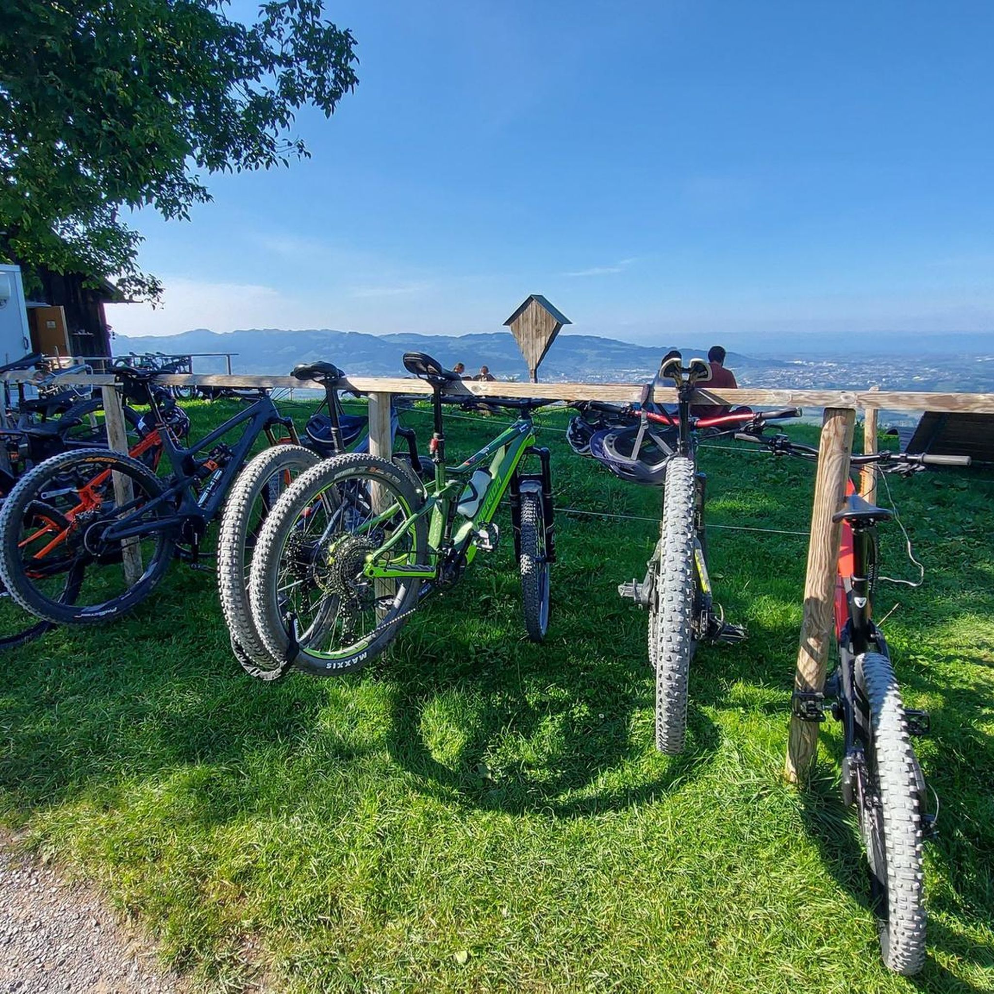
Gravel biking around Vila Real De Santo António
Other adventures around Vila Real De Santo António


Tips from the Community

A beautiful spot is located on the river in the middle of Tavira. There are nice cafes and restaurants here. Good for taking a break
0
0
The bridge in the road surface is now quite broken. You should cross it carefully, especially when it's wet
0
0

Tavira is a beautiful coastal town on Portugal's Algarve coast. It lies on the Gilão River, which flows into the sea via estuaries and lagoons in the Ria Formosa Natural Park. Tavira Island boasts a long sandy beach and salt flats that attract flamingos, spoonbills, and other wading birds. The medieval Castelo de Tavira is located in the town center and offers panoramic views. The Church of Santa María do Castelo houses the tombs of seven knights killed by the Moors. The town has many charming restaurants, bars, cafes, and shops!
3
0
Vila Real de Santo António is located on the Gulf of Cádiz, which is part of the Atlantic Ocean, and on the right bank of the Guadiana River, whose lower reaches form the border between Portugal and Spain. The town offers several attractions, charming restaurants, bars, and cafés! A ferry ⛴️ provides convenient hourly service to the Spanish town of Ayamonte.
3
0
Vila Real de Santo António is a municipality and town in the Faro District of Portugal. It lies on the Gulf of Cádiz, which is part of the Atlantic Ocean, and on the right bank of the Guadiana River, whose lower reaches form the border between Portugal and Spain. Ayamonte, in Spain, lies on the opposite bank of the Guadiana River.
4
0

Small bridge 🌉 without barriers. A good option to avoid Tavira.
15
0
Noble house dating back to the 17th century and belonging to the Falcão family.
11
0
The Mata Natural Reserve encompasses a 3-kilometer stretch of pine forest, connecting Vila Real de Santo António and Monte Gordo. The Vila Real de Santo António Coastal Dunes National Forest plays a protective role in this region, serving as a means of securing the dune system, controlling sea winds, and sheltering wildlife. The forest is home to a significant population of chameleons, a reptile that has one of the last strongholds of its natural habitat here. The sandy soil, covered almost exclusively by maritime pine and some localized patches of stone pine, makes it difficult for vegetation to establish itself. The forest currently serves an important social function, the maintenance of which is essential for improving the quality of life of the surrounding population. The fauna and flora, combined with the fresh environment of this location, are an attractive invitation for hiking or sports activities. Every year, athletes use the forest for their training camps for Olympic or international competitions. Next to Monte Gordo is a picnic area where you can relax in the shade of the stone pines or go picnicking. (Source: www.cm-vrsa.pt)
13
0
Frequently Asked Questions
What kind of terrain can I expect on road cycling routes around Vila Real de Santo António?
The region offers a diverse landscape for road cycling. You'll find extensive coastal plains, routes along the Guadiana River basin, and rolling hills further inland. Expect a mix of flat coastal rides, such as those near the Manta Rota Beach, and more challenging routes with moderate elevation gains as you head inland, particularly towards the Guadiana River. The Alcoutim and Guadiana River Loop, for example, features over 2,100 meters of elevation gain.
When is the best time of year for road cycling in Vila Real de Santo António?
The Vila Real de Santo António area is particularly popular with cyclists in February and September. These months generally offer pleasant temperatures, making them ideal for exploring the region's diverse routes without the intense heat of summer or the cooler, wetter conditions of winter. The area's mild climate makes it suitable for cycling for much of the year.
Are there scenic viewpoints or interesting landmarks along the road cycling routes?
Yes, many routes offer scenic views and pass by notable landmarks. You can cycle along the Guadiana River, offering picturesque riverside views, or through the Mata Nacional das Dunas Litorais, a large pine forest. Routes also lead to historic towns like Tavira, where you can see the Old/Roman Bridge. The Odeleite Reservoir – View of the Guadiana River loop from Cacela offers stunning vistas of the reservoir and the river.
What are some options for longer distance road cycling routes in the area?
For longer rides, the region offers several excellent options. The Alcoutim and Guadiana River Loop is a challenging 161 km route exploring inland landscapes. Another significant option is the Odeleite Reservoir – View of the Guadiana River loop from Cacela, which covers about 108 km. The region is also a starting point for the Ecovia do Litoral, a 214 km route traversing the southern Algarve coastline.
Are there any circular road cycling routes around Vila Real de Santo António?
Yes, many of the road cycling routes in the area are designed as loops, allowing you to start and finish in the same location. Examples include the Alcoutim and Guadiana River Loop, the Odeleite Reservoir – View of the Guadiana River loop from Cacela, and the Tavira Roman Bridge – Old/Roman Bridge 🌉 Tavira loop from Vila Real de Santo António. These circular routes make planning your ride convenient.
What is the difficulty level of road cycling routes in Vila Real de Santo António?
The routes cater to various ability levels. You can find easy coastal loops, such as the Fornalha – Castro Marim Salt Pans loop from Cacela, which is around 36 km with moderate elevation. There are also moderate routes like the Bridge over the Sequa River – Winding Road Along the River loop from Monte Gordo, and challenging inland climbs, including the 161 km Alcoutim and Guadiana River Loop with over 2,100 meters of ascent.
Are there family-friendly road cycling options in the Vila Real de Santo António area?
While many road cycling routes are designed for experienced cyclists, the region does offer flatter, dedicated bike paths suitable for families. The path connecting Vila Real de Santo António directly to Monte Gordo, passing through a pine forest, is a good example. For easier rides, consider routes with minimal elevation gain, often found along the coastal plains.
What do other road cyclists enjoy the most about road cycling in Vila Real de Santo António?
The area is highly rated by the komoot community, with an average score of 4.4 stars from over 50 reviews. Reviewers often praise the varied terrain, from coastal paths to riverside routes along the Guadiana, and the well-maintained trails through pine forests. The opportunity to explore charming towns like Tavira and enjoy scenic viewpoints is also frequently highlighted.
Can I find cafes or pubs near the road cycling routes for a break?
Yes, the routes often pass through or near towns and villages where you can find cafes, restaurants, and pubs. Vila Real de Santo António itself has a charming historic town center with many options. Towns like Tavira, Monte Gordo, and Cacela Velha also offer places to stop for refreshments, especially along coastal and more populated routes.
What natural features can I explore while road cycling in the Eastern Algarve?
The Eastern Algarve boasts several significant natural features. You can cycle through the Mata Nacional das Dunas Litorais, a large pine forest, or along the banks of the Guadiana River, which forms a natural border with Spain. The Castro Marim and Vila Real de Santo António Marshland Nature Reserve, Portugal's oldest nature reserve, offers unique wetland landscapes and birdwatching opportunities. The expansive beaches like Manta Rota Beach also provide beautiful coastal scenery.
Is it possible to combine road cycling with other activities in Vila Real de Santo António?
Absolutely. Beyond cycling, Vila Real de Santo António offers a range of activities. You can explore the historic town center, visit the Vila Real de Santo António Lighthouse for panoramic views, or take a boat trip from Marina de Vila Real de Santo António along the Guadiana River. The nearby Parque Aventura offers high ropes courses and zip lines for more adventure. The region's diverse landscapes also make it ideal for walking and birdwatching.
Are there any specific cycling paths or long-distance routes that start from Vila Real de Santo António?
Vila Real de Santo António is a strategic starting point for significant cycling paths. The Ecovia do Litoral, a 214-kilometer route, begins here and traverses the southern Algarve coastline. Additionally, the Guadiana Route (GR15), approximately 65 km long, explores the Lower Guadiana region along the scenic Guadiana River. There's also a dedicated bike path connecting Vila Real de Santo António to Monte Gordo through a pine forest.
Most popular routes around Vila Real De Santo António
Most popular attractions around Vila Real De Santo António

Get inspired with the komoot mobile app


Explore more
Browse the best Road cycling routes in other regions.
