The best walks and hikes around Matosinhos
4.4
(856)
4,912
hikers
52
hikes
Hiking around Matosinhos offers diverse landscapes, including an extensive coastline, urban green spaces, and the Leça River estuary. The region features sandy beaches, coastal promenades, and well-maintained paths within city parks. These areas provide varied terrain for walking and hiking, from flat coastal strolls to routes through integrated landscape designs.
Best hiking trails around Matosinhos
- The most popular hiking route is Foz Pergola – Arrábida Bridge loop from Matosinhos Sul, a 13.2 miles (21.3 km) difficult trail that takes…
Last updated: July 28, 2026
4.6
(175)
1,283
hikers
20.9km
05:34
130m
130m
Hard hike. Very good fitness required. Easily-accessible paths. Suitable for all skill levels.
5.0
(304)
280
hikers
17.1km
04:21
40m
40m
Moderate hike. Good fitness required. Easily-accessible paths. Suitable for all skill levels.

Sign up for free
4.8
(33)
450
hikers
9.54km
02:29
60m
60m
Moderate hike. Good fitness required. Easily-accessible paths. Suitable for all skill levels.
4.8
(4)
226
hikers
Easy hike. Great for any fitness level. Easily-accessible paths. Suitable for all skill levels.
4.6
(9)
103
hikers
13.1km
03:20
40m
40m
Moderate hike. Good fitness required. Easily-accessible paths. Suitable for all skill levels.
Get access to more routes and recommendations from other explorers.
Sign up for free
Already have an account?
Our route recommendations are based on thousands of hikes, rides, and runs completed by other people on komoot.
Start today with a free account
Your next adventure awaits.
Login or Signup
Tips from the Community

Parque da Cidade do Porto is the largest urban park in Portugal, spanning 83 hectares (205 acres) of lush green space. It is uniquely famous as the only urban park in Europe with a direct seafront connection, ending right at the Atlantic Ocean coast.
0
0

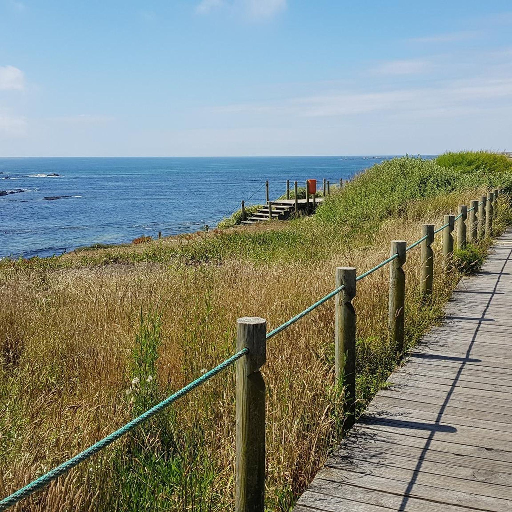
Caution: Some planks are loose and can lift, tripping hazard
0
0

Leça Lighthouse, Lighthouse with Museum on the Portuguese Way
0
0
I passed by it on the Camino de Santiago and walked along the beach. Beautiful hike.
1
0
Beautiful old fort with a museum inside. The interplay of old and new in the background is also wonderful.
0
0

View of Forte de Sāo Francisco Xavier (Cheese Castle)
1
0

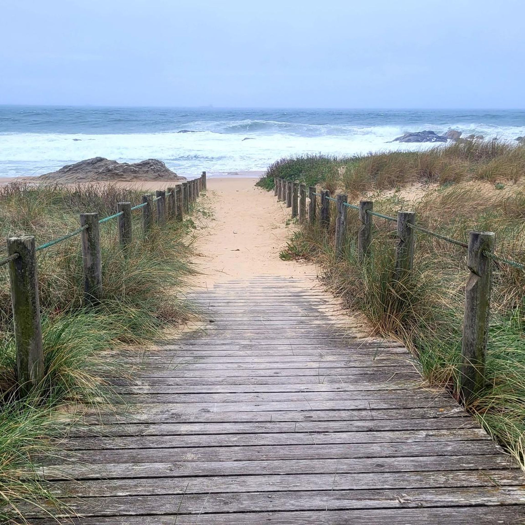
The walkways through the dunes between Agudela and Lavra, also known as the Passadiço das Dunas de Lavra, are part of a network of coastal trails in northern Portugal that allow visitors to explore the coastline in a comfortable and environmentally friendly way.
1
0
This obelisk commemorates the landing on July 8, 1832, of the liberal fleet commanded by King Pedro IV, who arrived with an army of 7,500 men from the Azores. Their objective was to establish a modern, liberal regime in Portugal, confronting the prevailing absolutism.
3
0
Frequently Asked Questions
How many hiking trails are available in Matosinhos?
Matosinhos offers a diverse selection of over 50 hiking routes. These include 37 easy trails, 13 moderate paths, and 4 more challenging treks, catering to various fitness levels and preferences.
Are there easy hiking trails suitable for beginners in Matosinhos?
Yes, Matosinhos has numerous easy trails perfect for beginners or those seeking a relaxed stroll. Many coastal paths and routes within urban parks like Parque da Cidade are flat and well-maintained. A great option is the Wooden Boardwalk to Matosinhos – Lifeguard Monument loop from Matosinhos Sul, which is an easy 6.1 km walk.
What kind of coastal walks can I find in Matosinhos?
Matosinhos is renowned for its scenic coastal walks. You can explore the vast expanse of Matosinhos Beach, Praia de Leça, and other smaller beaches like Praia da Senhora da Boa Nova. A continuous promenade stretches along the coast, offering breathtaking ocean views. Sections of the Portuguese Coastal Way also pass through the area, providing a unique blend of natural beauty and cultural significance.
Are there any family-friendly hiking options in Matosinhos?
Absolutely. Matosinhos features several family-friendly options, particularly within its urban green spaces. Parque da Cidade, one of Europe's largest urban parks, offers well-maintained paths suitable for all ages. Quinta da Conceição Municipal Park also provides a pleasant environment for leisurely family strolls amidst historic elements and natural beauty.
Can I bring my dog on the hiking trails in Matosinhos?
Many of Matosinhos' outdoor areas, including coastal paths and urban parks, are generally dog-friendly. It's always recommended to keep your dog on a leash and clean up after them to ensure a pleasant experience for everyone. Always check for specific local signage regarding pet restrictions in certain areas.
Are there any circular hiking routes in Matosinhos?
Yes, Matosinhos offers several excellent circular routes. For a moderate coastal experience, consider the Foz Pergola – Matosinhos Beach loop from Matosinhos Sul, which is about 9.5 km. Another popular moderate loop is the Boa Nova Lighthouse – Capela de São Félix loop from Mercado, covering 12.9 km.
What are some interesting landmarks or attractions I can see while hiking in Matosinhos?
Hiking in Matosinhos allows you to discover several notable landmarks. Along the coastal paths, you can encounter the historic Fort of Saint Francis Xavier (Cheese Castle), the impressive 'She Changes' sculpture (Anémona), and the Forte de Leça. The Dom Luís I Bridge and Porto Cathedral are also accessible if you venture towards Porto along the coastal route.
What do other hikers enjoy most about hiking in Matosinhos?
The hiking experience in Matosinhos is highly rated by the komoot community, with an average score of 4.5 stars from over 900 reviews. Hikers frequently praise the diverse landscapes, particularly the extensive coastline and urban green spaces, as well as the well-maintained paths that offer options for various ability levels.
Are there any challenging hikes in Matosinhos for experienced hikers?
For experienced hikers seeking a challenge, Matosinhos offers a few difficult routes. The Foz Pergola – Arrábida Bridge loop from Matosinhos Sul is a demanding 21.3 km trail that provides extensive coastal views and takes over 5 hours to complete. Additionally, the nearby Serra do Pilar mountain range offers stunning vistas and more challenging trails.
What is the best season for hiking in Matosinhos?
Matosinhos generally offers pleasant hiking conditions throughout much of the year. Spring and autumn provide mild temperatures, ideal for exploring. Summer can be warm, but coastal breezes often make walks enjoyable, especially in the mornings or late afternoons. Even winter offers opportunities for hiking, though it's advisable to check weather forecasts for rain.
Are there places to eat or drink near the hiking trails in Matosinhos?
Yes, Matosinhos has a vibrant culinary scene, especially near its coastal areas and urban centers. You'll find numerous cafes, restaurants, and bars along the promenades and near Matosinhos Beach, perfect for a post-hike meal or refreshing drink. The Mercado Municipal de Matosinhos is also a great place to experience local culture and fresh produce.
How can I get to the hiking areas in Matosinhos using public transport?
Matosinhos is well-served by public transport, making it easy to access hiking areas. The city has a metro line (Line A) with several stations, including Matosinhos Sul, which provides convenient access to the beach and coastal paths. Various bus routes also connect different parts of the city and surrounding areas, including Parque da Cidade.
Most popular attractions around Matosinhos

Get inspired with the komoot mobile app


Explore more
Browse the best Hikes in other regions.
