The best MTB trails around Benavente
4.6
(85)
630
riders
48
rides
Mountain bike trails around Benavente offer a diverse landscape for cyclists, characterized by undulating hills with prominent holm oaks and Pyrenean oaks. The region acts as a transitional zone between the plains of La Tierra de Campos and more mountainous areas, providing varied terrain. River valleys, such as those formed by the Esla River, contribute to the scenic beauty and offer additional route options. Greenways, like the Vía Verde de la Plata and Esla greenway, provide scenic routes along disused…
Last updated: July 21, 2026
16
riders
68.3km
04:52
250m
250m
Moderate mountain bike ride. Good fitness required. Suitable for all skill levels.
5.0
(1)
11
riders
48.0km
02:36
180m
180m
Moderate mountain bike ride. Good fitness required. Suitable for all skill levels.

Sign up for free
5.0
(1)
9
riders
69.8km
04:48
440m
440m
Moderate mountain bike ride. Good fitness required. Advanced riding skills necessary.
9
riders
43.4km
02:32
180m
180m
Moderate mountain bike ride. Good fitness required. Suitable for all skill levels.
8
riders
53.3km
03:23
230m
230m
Moderate mountain bike ride. Good fitness required. Suitable for all skill levels.
Get access to more routes and recommendations from other explorers.
Sign up for free
Already have an account?
Our route recommendations are based on thousands of hikes, rides, and runs completed by other people on komoot.
Start today with a free account
Your next adventure awaits.
Login or Signup

Tips from the Community

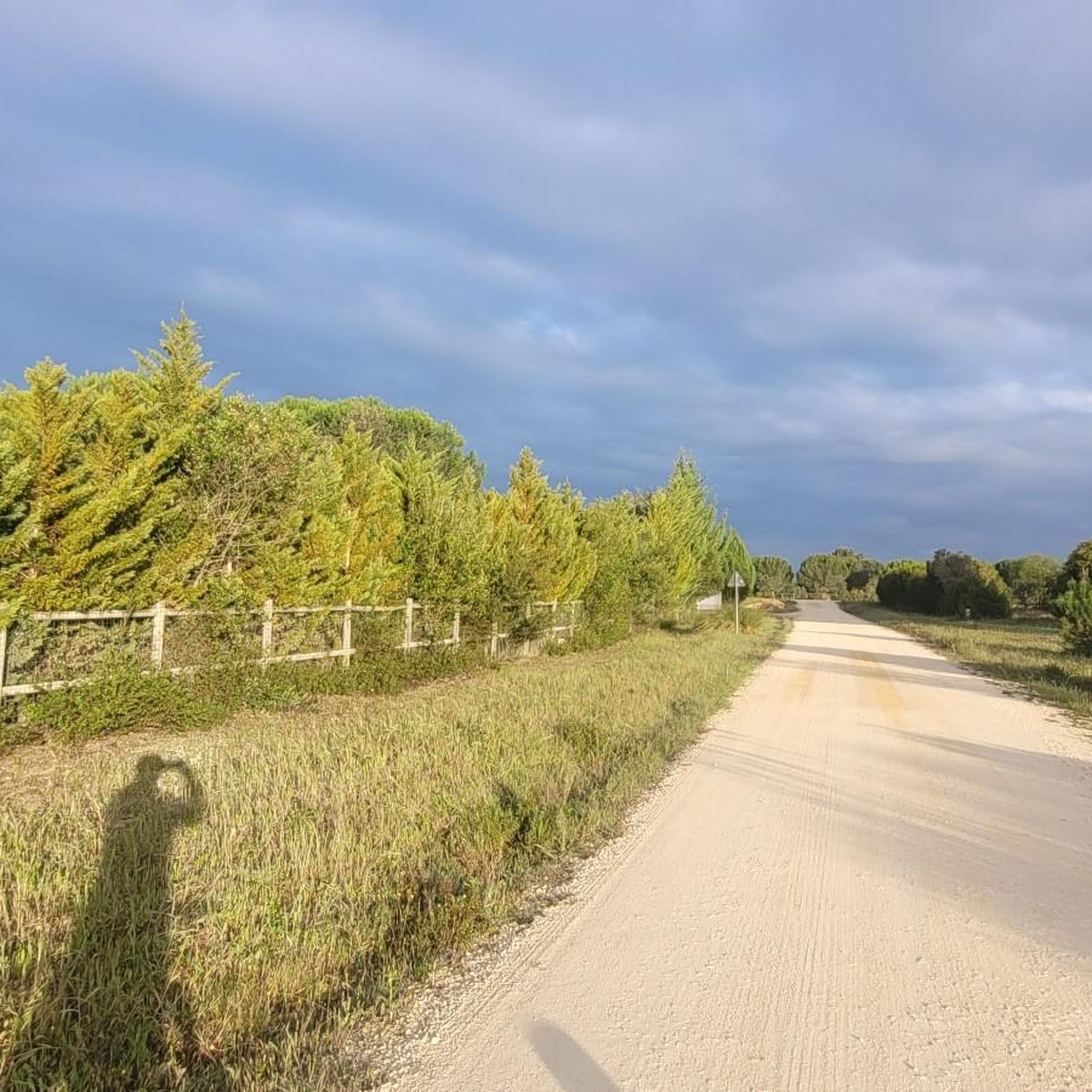
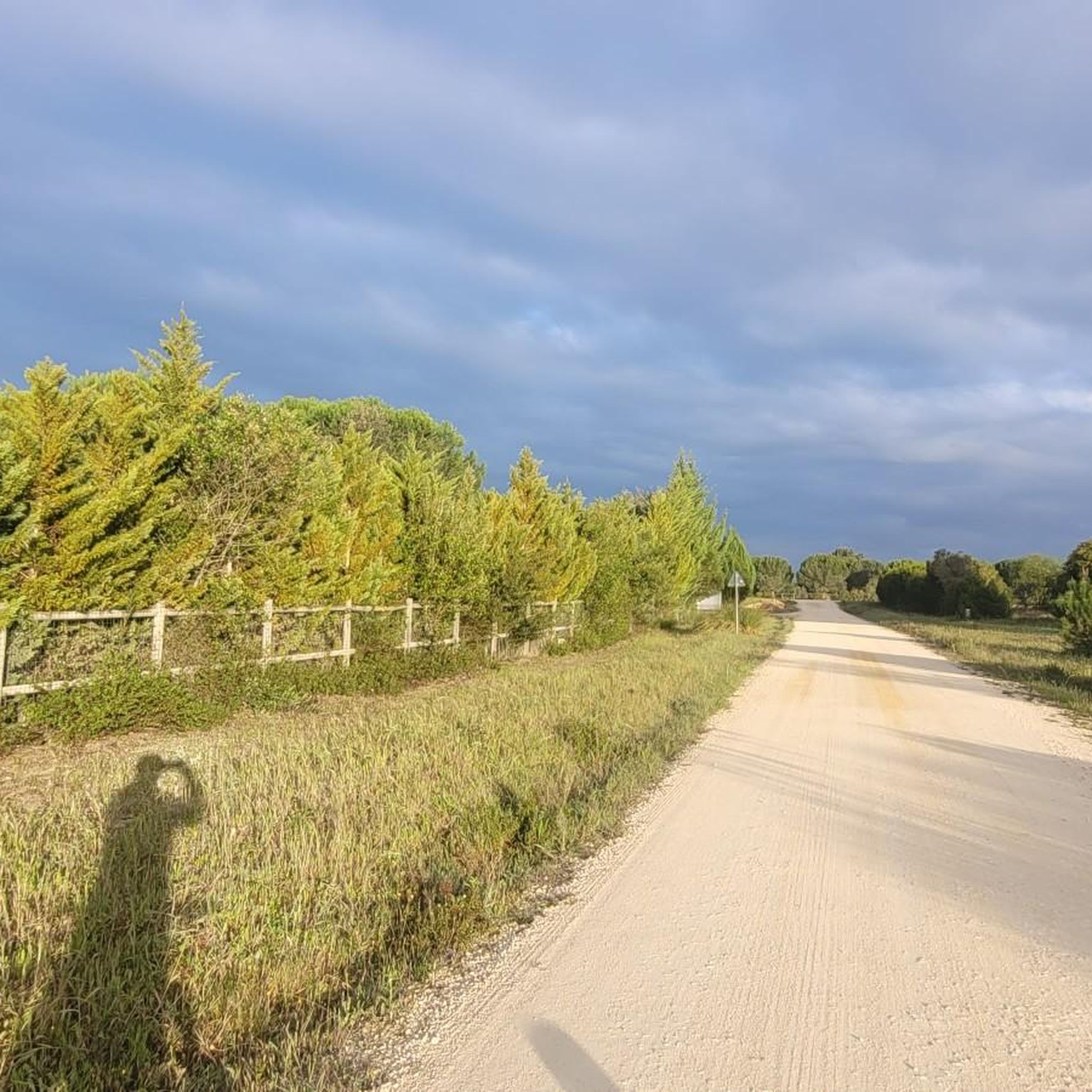
There could be better signaling for cycling in this trails
0
0

The PR1 Benavente, or Lezírias Route, is a pedestrian and cycling route that connects Benavente to Samora Correia, crossing the floodplains of the Sorraia and Almansor rivers, within the Tagus Estuary Nature Reserve. The trail offers a diverse landscape with ditches, canals, rice fields, pastures, and the opportunity to observe Lusitanian cattle and horses, with information panels along the way.
0
0
The Lezírias Route offers the opportunity to enjoy the Vala Nova landscape via a 2-km diversion/branch route that begins near the Benavente Riverside Park and crosses the Sorraia River via a pedestrian bridge. This route allows you to complete two shorter sections (9 km and 13 km) and return to the starting point (Benavente or Samora Correia) via a circuit with a different landscape.
1
0

The entrance in Pinhal novo is a bit hidden, but once in Montijo you can take the boat to Lisboa.
1
0
Made on the old train tracks, this long distance cycleway is a hassle-free way to do the Journey.
1
0

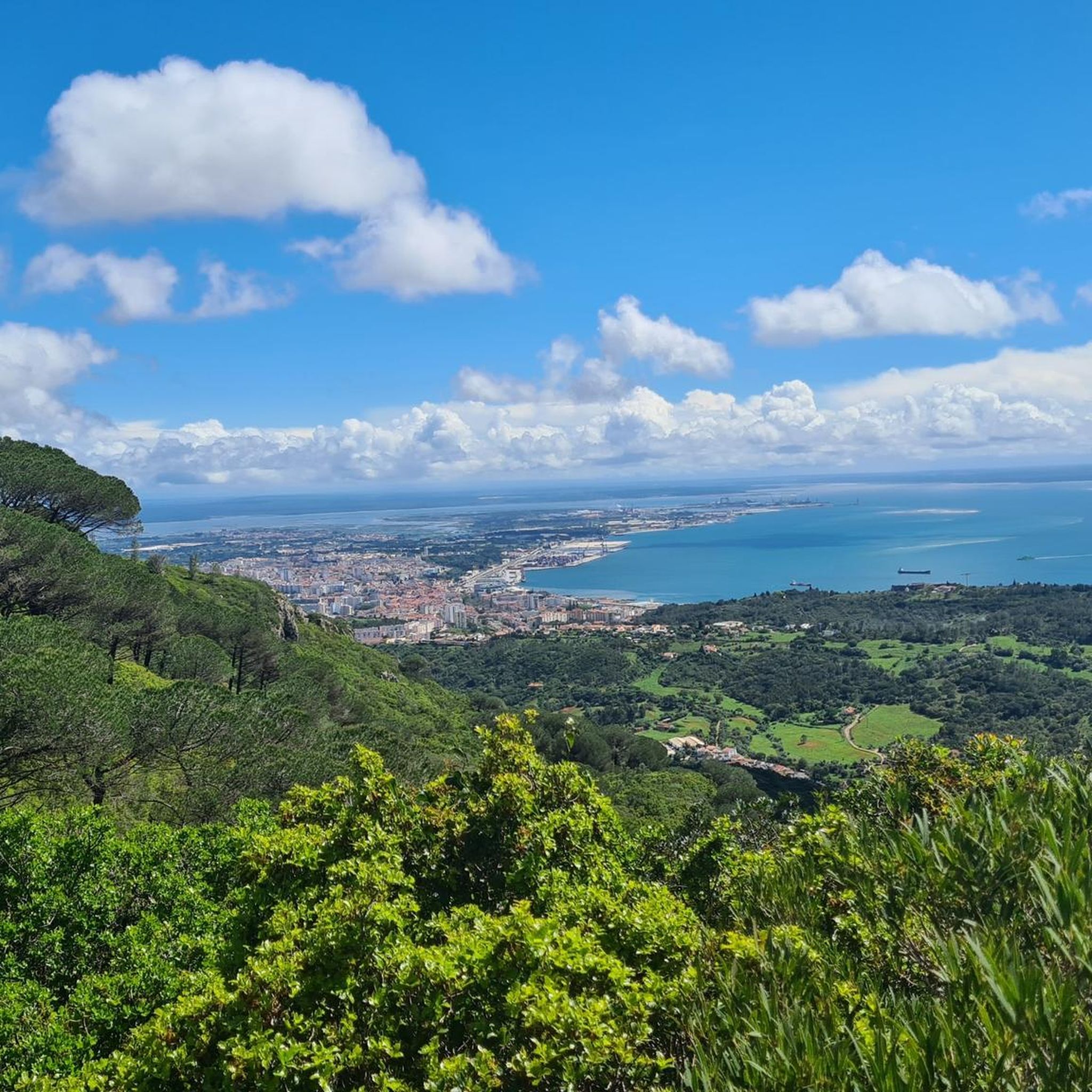
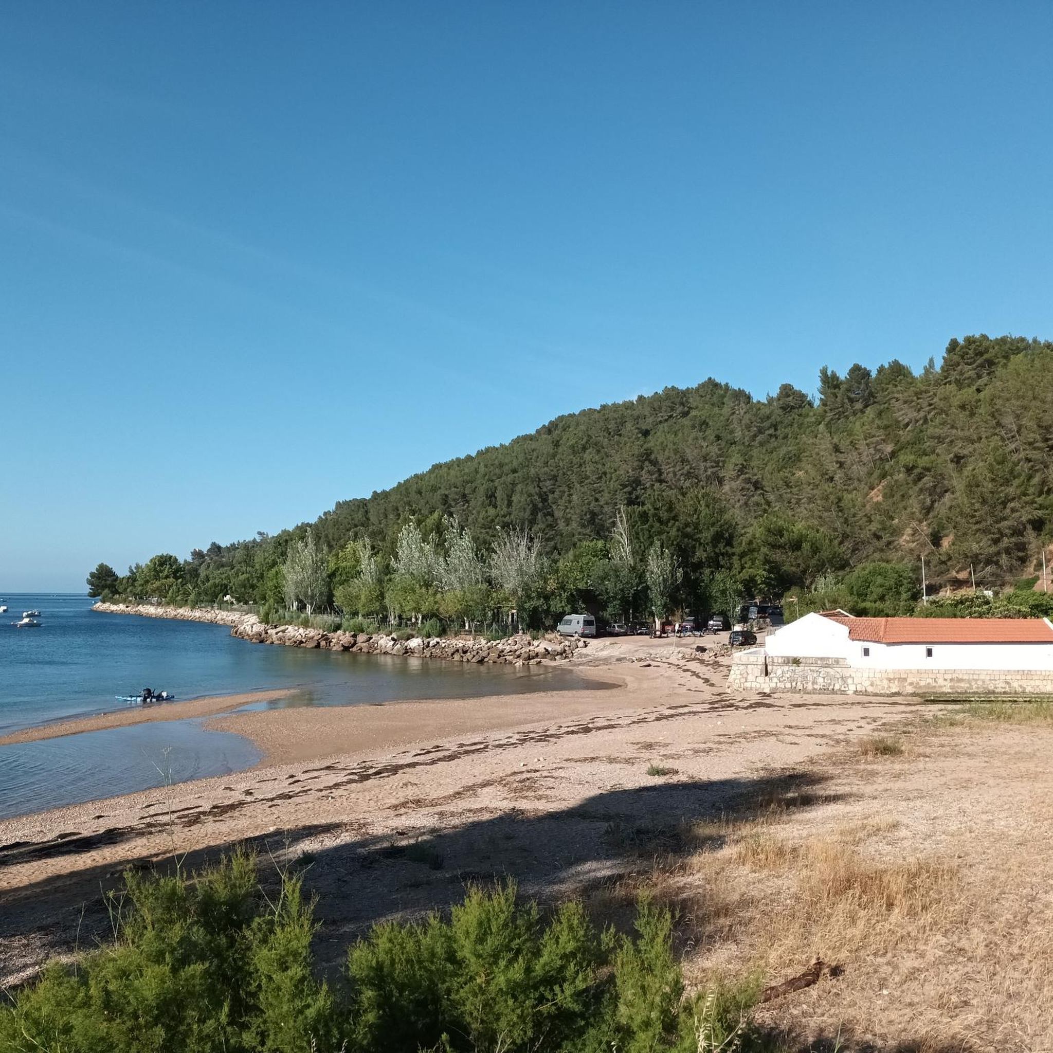
The beaches of Alcochete. These are river beaches of the Tagus River. The water is salty, hence the presence of salt pans right next to it. The water is less cold than the sea. The water is clean and you can swim in it. You can see on the other side of the river, Lisbon and the Vasco de Gama bridge. The Vasco da Gama Bridge is 12.3 km long. It is the longest bridge in the European Union and the 2nd longest bridge in Europe, the 1st being the Crimean Bridge. There is also a beautiful garden, cafes, restaurants, handling circuit, picnic park.
14
0
The construction of the Sorraia Valley Irrigation Work, of which this canal bridge forms part, began in 1959, and is believed to be one of the first works of its kind in Portugal. The Sorraia Valley Irrigation Work, which includes the Sorraia Canal, the Furadouro Dam and the Montargil and Maranhão dams, covers an area of 15,365 hectares, in the districts of Portalegre, Évora and Santarém, promoting the efficient use of water in agriculture in the fertile territories of the municipalities of Ponte de Sor, Avis, Mora, Coruche, Salvaterra de Magos and Benavente.
1
0
Frequently Asked Questions
How many mountain bike trails are available around Benavente?
The Benavente y Los Valles region offers a substantial network of mountain bike trails. There are over 50 routes recorded on komoot, with cross-country being the predominant type, catering to a wide range of cyclists.
What is the difficulty level of mountain bike trails in Benavente?
Benavente offers a range of trails suitable for various skill levels. You'll find 9 easy routes, 38 moderate routes, and 4 difficult routes, ensuring options for beginners, intermediate riders, and experienced mountain bikers alike. The terrain often features undulating hills and river valleys.
Are there any family-friendly mountain bike routes in Benavente?
Yes, there are several easy routes suitable for families. For instance, the region features old railway lines converted into 'adventure routes' like the Vía Verde de la Plata, which are generally flat and ideal for a relaxed family ride. You can find 9 easy routes on komoot.
Can I bring my dog on the mountain bike trails around Benavente?
Many of the trails around Benavente, especially those through natural landscapes like oak woodlands and river valleys, are suitable for dogs. However, it's always recommended to keep your dog on a leash and be mindful of other trail users and local wildlife. Always check specific trail regulations if posted.
What kind of landscapes and natural features can I expect to see while mountain biking in Benavente?
The region is characterized by undulating hills with prominent holm oaks and Pyrenean oaks. Benavente acts as a transitional zone, offering diverse terrain from the plains of La Tierra de Campos to more mountainous areas. River valleys, such as those formed by the Esla River, also enhance the scenic beauty. You might also encounter the nearby Lagoons of Vilafáfila, known for birdwatching.
Are there circular mountain bike routes available?
Yes, many of the mountain bike routes in Benavente are designed as circular loops, allowing you to start and end at the same point. An example of a moderate circular route is Nó do Peso canal bridge loop from Samora Correia, which covers nearly 69 km.
What historical or natural attractions can I see along the mountain bike trails?
While riding, you can encounter various points of interest. In Benavente town, you might see remnants of the Castle of La Mota, specifically the Caracol Tower. The Bridges over the Esla River and the Bridge of the Vía Verde de la Plata are also notable landmarks. For natural attractions, consider visiting the EVOA – Birdwatching and Visitor Center near the Lagoons of Vilafáfila, or the Cais da Jorna and Fishermen's Monument.
When is the best time of year to go mountain biking in Benavente?
The best time to visit for mountain biking is generally during spring and autumn when the weather is milder and the landscapes are vibrant. Summers can be hot, while winters might bring cooler temperatures, though the region typically doesn't experience extreme winter conditions that would severely impede riding.
What do other mountain bikers enjoy most about the trails in Benavente?
The mountain bike trails around Benavente are highly rated by the komoot community, with an average score of 4.6 stars from over 70 reviews. Riders often praise the diverse terrain, from undulating hills to scenic river valleys, and the well-maintained paths that cater to various skill levels.
Are there any specific routes that offer panoramic views?
Many routes traversing the undulating hills and higher elevations will offer scenic vistas of the surrounding oak forests and the transitional landscapes between the plains and mountainous regions. For example, View of Palmela Castle – Samouco Salt Pans loop from Alcochete provides varied scenery with some elevation.
Where can I find parking for mountain bike trails in Benavente?
Parking is generally available in and around the town of Benavente, as well as at various access points for the Vía Verde de la Plata and other popular trailheads. Look for designated parking areas near parks or trail entrances, especially in smaller villages along the routes.
Are e-bikes permitted on the mountain bike trails?
Yes, e-bikes are generally permitted on the mountain bike trails in the Benavente y Los Valles region. This allows a wider range of cyclists to enjoy the diverse landscapes and extensive trail network, including those who prefer assistance on more challenging sections.
Most popular attractions around Benavente

Get inspired with the komoot mobile app


Explore more
Browse the best MTB trails in other regions.
