The best running trails around Beesel
4.5
(76)
1,758
runners
111
runs
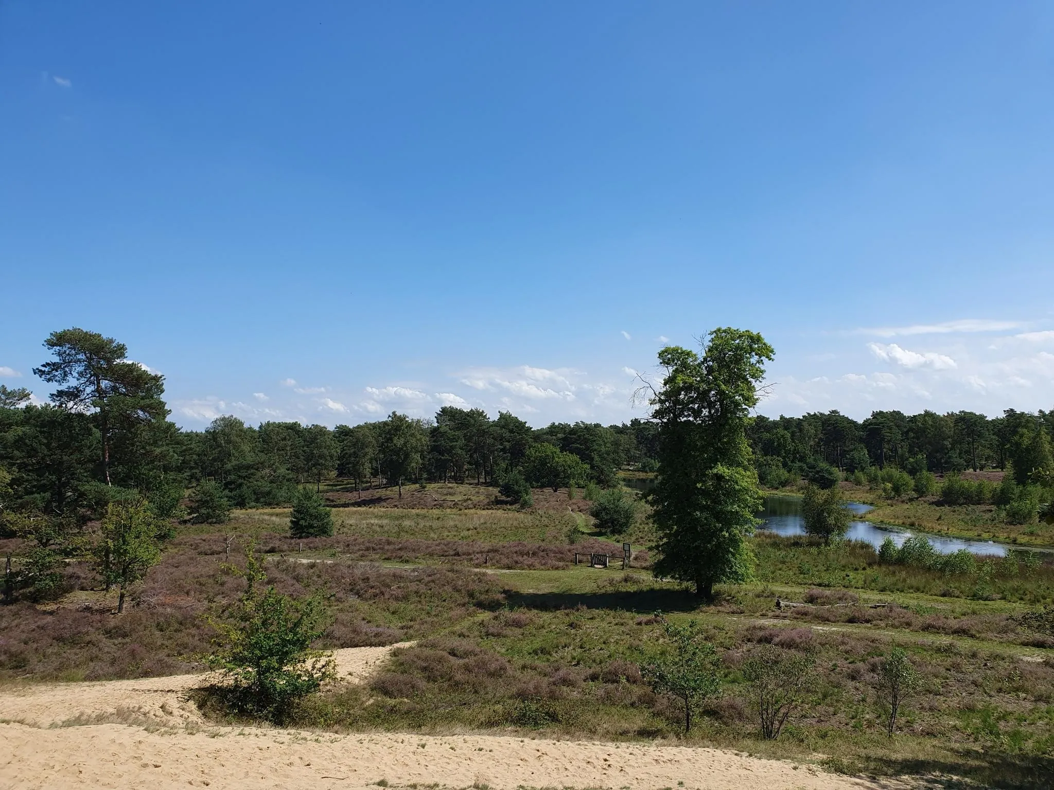
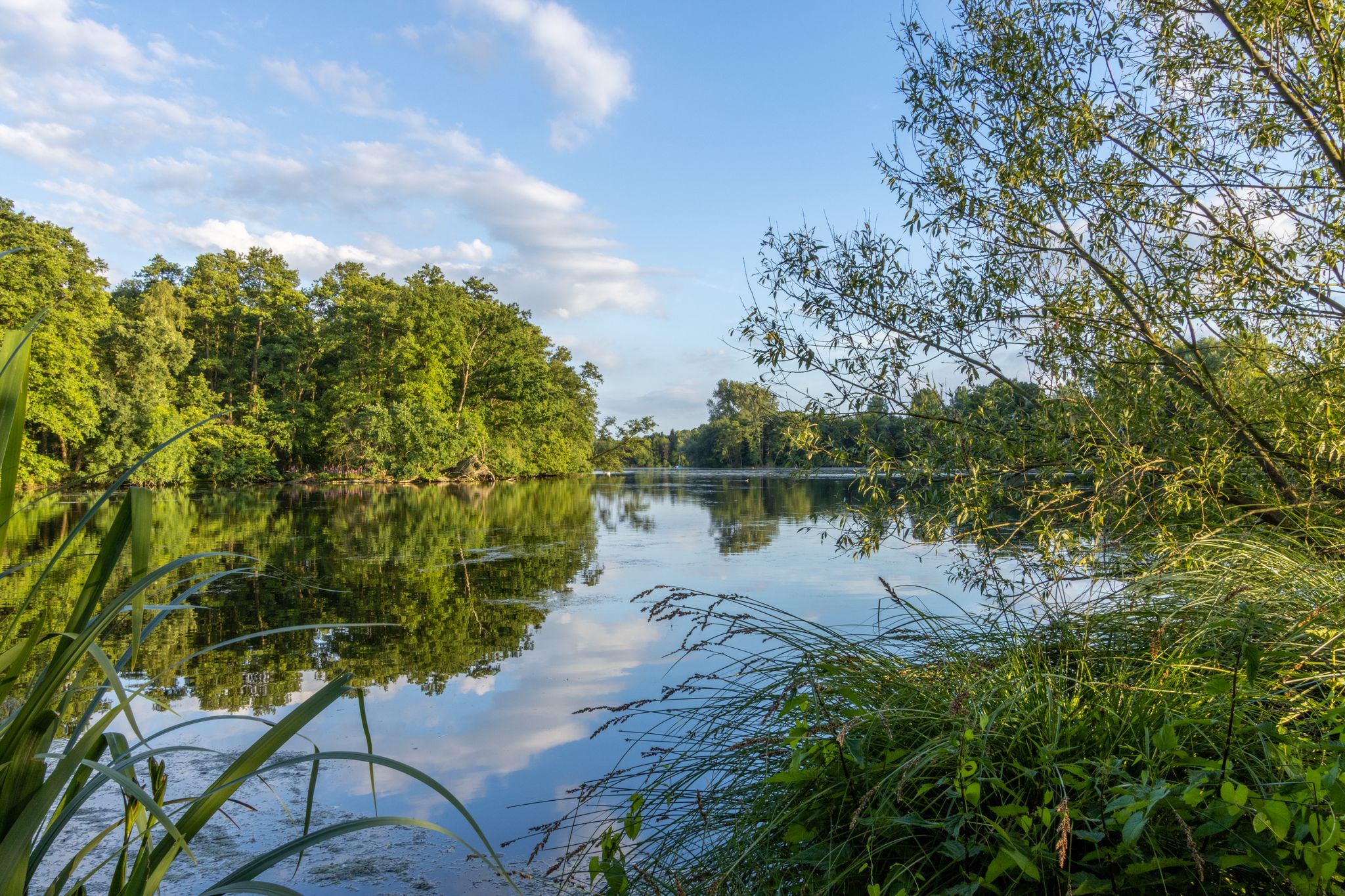
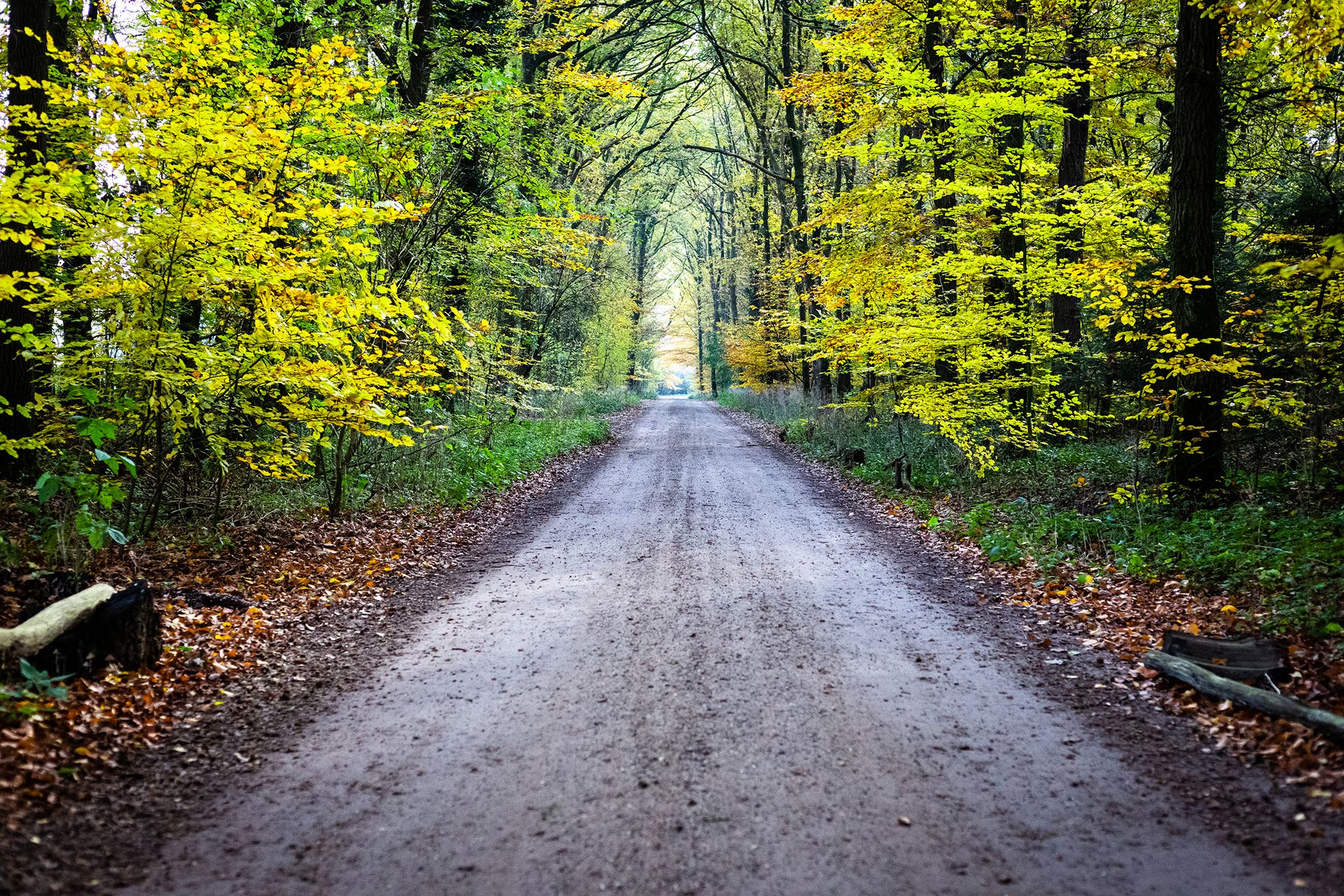
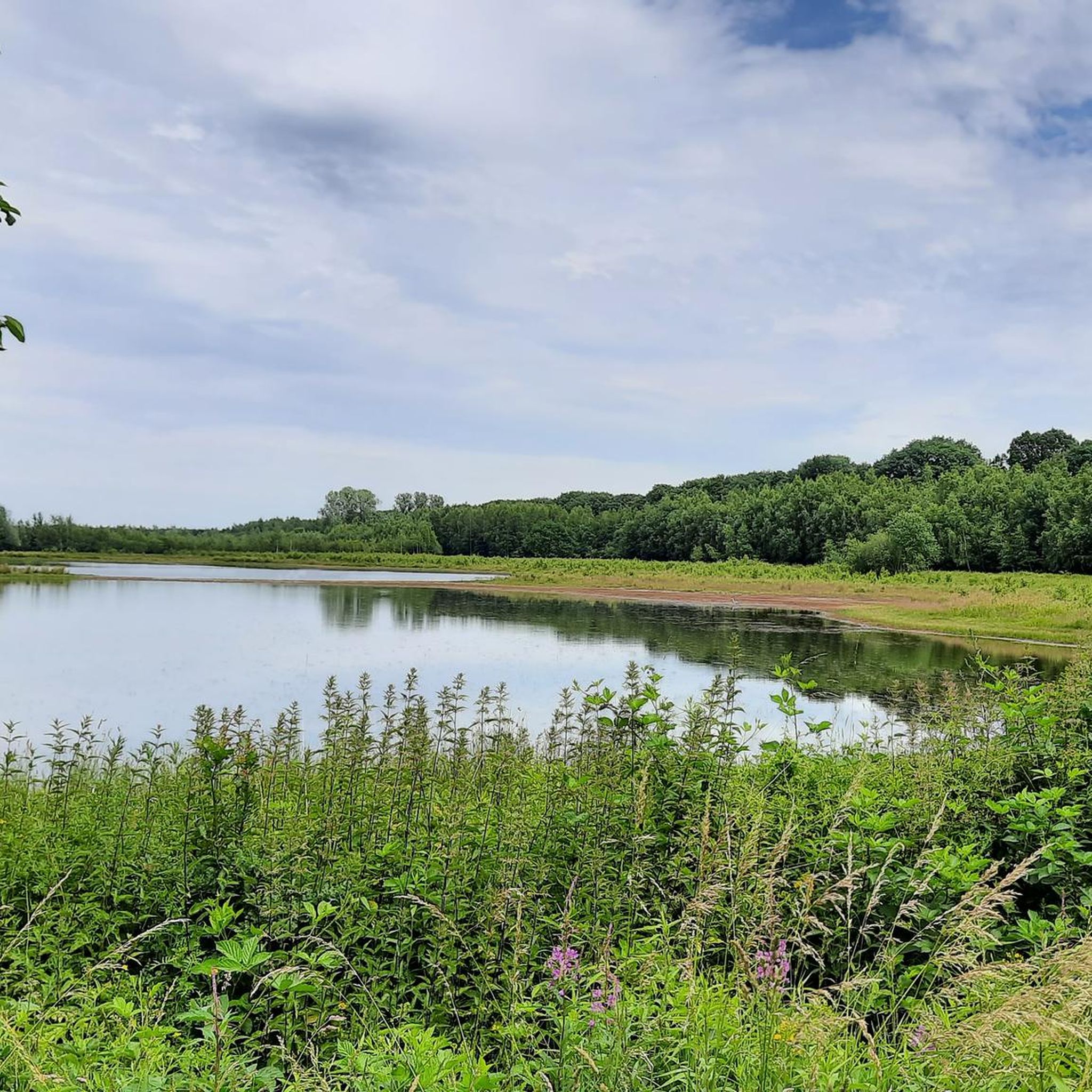
Jogging around Beesel offers routes through diverse landscapes in the Dutch province of Limburg. The region is characterized by the winding River Meuse, extensive green forests, and the Maas-Swalm-Nette Nature Reserve, providing varied terrain for runners. Paths often follow riverbanks or lead through peaceful countryside, with minimal elevation changes. This area provides a natural setting for running, combining water views with woodland trails.
Best jogging routes around Beesel
- The most popular jogging route is Maas ferry between Kessel and Beesel…
Last updated: November 1, 2026
4.0
(8)
124
runners
8.89km
00:57
20m
20m
Moderate run. Good fitness required. Mostly paved surfaces.
4.6
(12)
78
runners
Moderate run. Good fitness required. Mostly paved surfaces.

66
runners
26.1km
02:47
110m
110m
Hard run. Very good fitness required. Mostly runnable paths. Some sure-footedness required.
67
runners
Moderate run. Good fitness required. Mostly paved surfaces.
3.4
(5)
53
runners
5.07km
00:32
20m
20m
Moderate run. Good fitness required. Mostly paved surfaces.
Get access to more routes and recommendations from other explorers.
Already have an account?
Our route recommendations are based on thousands of hikes, rides, and runs completed by other people on komoot.


Other adventures around Beesel


Tips from the Community

Opening hours etc. can be found here: https://www.cafedetroubadour.nl/
0
0

The water level monument on the Maas is a small but important monument in the village of Beesel in the province of Limburg. The monument was erected to commemorate the extreme flood of the river Maas in December 1993, when the water reached an exceptionally high level at this spot and submerged large parts of Limburg. In December 1993, there was persistent heavy rain for several days in the Maas river basin, especially in the Ardennes and South Limburg. That rainfall caused the river to carry more and more water and eventually overflow its banks multiple times. On December 20, the Maas began to cause flooding, and around December 22 and 23, the water reached a record high level in many places in Limburg. The water level monument was designed by Paul Vincken and made of stoneware. The monument indicates precisely the water level the Maas reached at this location during the December 1993 flood. It stands along the St. Jorisstraat in Beesel, near the bank of the Maas and close to the ferry, where it is clearly visible to people walking or cycling along the river. The purpose of the monument is not only to show how high the water was but also to remind people of the river's power and the impact of floods on the landscape and society. In the past, the Maas used to overflow more often, but in the twentieth century, floods like the one in 1993 caused enormous damage to houses, infrastructure, agricultural land, and village centers. The memory of it remains important because high water can always return. Since the floods of 1993 and afterwards, many measures have been taken in Limburg and along the Maas to better manage the river and prevent floods. Dikes have been raised, floodplains have been adapted, and projects such as the Maaswerken, where the river was given more space and extra retention basins were constructed, are intended to help limit damage during extreme water levels.
0
0
Keverberg Castle is a historic castle in the village of Kessel in the province of Limburg. The castle stands on an artificial hill along the River Maas and is one of the oldest fortresses in the Netherlands. The castle's origins date back to around the year 1000. At that time, there was initially a watchtower on an artificial hill, a so-called motte. The tower had an important function because it overlooked the Maas and a major trade route between Antwerp and Cologne. Ships and merchants traveling along this route were required to pay tolls. The Counts of Kessel used this site as their residence and a defensive point. From the castle, they governed a large area in North Limburg and parts of present-day Germany. In 1279, the castle was sold to Reinald I, the Count of Gelre. The last Count of Kessel had to sell the territory due to financial problems. As a result, Kessel came under the authority of the Duchy of Gelre. Later, the castle changed owners several more times. Families such as the Van Merwijck and later the Van Keverberg family lived there. Eventually, the last noble resident gave up the castle in the 19th century. Afterward, the building was used by cloister nuns, among others. During the Second World War, the castle was severely damaged. In 1944, retreating German soldiers blew up the castle due to its strategic location. After the war, only a ruin remained for a long time. The castle remained a ruin for decades. It was not until the 21st century that the decision was made to rebuild the castle. It was restored between 2014 and 2015. During this restoration, the old architectural style was combined with modern materials such as glass and steel. As a result, it has become a remarkable castle where history and modern architecture come together.
0
0
The high water monument of December 23, 1993, commemorates a major flood of the river Maas that affected many areas in Limburg. In December 1993, very heavy rainfall occurred in a short period in the Maas river basin, especially in Belgium and France. As a result, the river's water level rose rapidly, and the Maas overflowed its banks in several places. Villages and towns along the river, such as Beesel and Reuver, were particularly affected by floods and water damage. The water level of the Maas continued to rise for days and reached an extremely high level around December 23, 1993. The water flowed over dikes and low-lying areas, inundating large parts of the landscape. Houses, streets, and agricultural land were flooded, and many residents had to temporarily leave their homes. Roads were also closed, and emergency services had to intervene to bring people to safety. The 1993 flood was one of the largest high water events of the Maas in the twentieth century. Thousands of people in Limburg were evacuated, and significant damage was caused to houses, businesses, and infrastructure. Although fortunately there were few victims, the high water left a profound impression on the residents of the region. It became an important moment in the recent history of the Maas area. To commemorate this event, a high water monument was later erected. This monument shows how high the water level was in 1993 and reminds people of the river's power. The monument is not only a reminder of the flood but also a warning that high water in the Maas area remains a possibility. After the floods of 1993 and later also in 1995, the Dutch government took various measures to prevent new floods. Dikes were raised, floodplains were adapted, and projects were initiated to give the river more space. These measures were intended to ensure that water could be discharged more effectively during extreme rainfall.
1
0

De Keverberg Castle is the beating heart of the town. Rebuilt from ruins a few years ago, it is now the most modern castle in the Netherlands. 👌
4
0
The 1993 Rhine flood (also called the "Christmas flood") was a once-in-a-century flood of the Middle Rhine and Lower Rhine and other tributaries in December 1993 and January 1994.
2
0

Good view of the town of Kessel.
3
0

Our accommodation was located right in the center, at Markt 5. Highly recommended for cyclists.
0
0
Frequently Asked Questions
What kind of terrain can I expect on running routes in Beesel?
Running routes in Beesel offer a diverse mix of terrain. You'll find paths along the scenic River Meuse, through extensive green forests, and within the Maas-Swalm-Nette Nature Reserve. Many routes feature peaceful countryside paths, often with minimal elevation changes, making them suitable for various fitness levels.
Are there any easy running routes in Beesel suitable for beginners?
Yes, Beesel offers several easy running routes. The region's generally flat landscape, especially along the riverbanks, provides accessible options. Out of approximately 80 routes, 7 are specifically categorized as easy, perfect for those new to running or looking for a relaxed jog.
Can I find routes that are suitable for families with children?
Beesel's natural setting with its green forests and riverside paths makes it ideal for family-friendly jogs. Many routes are relatively flat and offer beautiful scenery, providing a pleasant experience for all ages. Look for paths that avoid significant elevation or very long distances.
Are there any circular running routes in Beesel?
Absolutely! Many of the running paths in Beesel are designed as circular routes, allowing you to start and end at the same point. For example, the popular Maas ferry between Kessel and Beesel – Very nice view of Kessel loop from Beesel is a moderate 10 km loop that offers scenic views and connects picturesque villages.
What natural landmarks or points of interest can I see while jogging in Beesel?
While jogging in Beesel, you can enjoy the winding River Meuse, explore the diverse flora and fauna of the Maas-Swalm-Nette Nature Reserve, and pass through peaceful green forests. The region is also close to areas like the Maasplassen, known for its clear waters. For specific natural features, consider exploring highlights such as the Sand Pit in Galgenvenn or the Gorge in the Brachter Wald Nature Reserve.
Are dogs allowed on the running trails in Beesel?
Many of the natural trails and paths in Beesel, particularly those through forests and along the River Meuse, are generally dog-friendly. However, it's always advisable to keep your dog on a leash, especially within nature reserves like the Maas-Swalm-Nette, to protect wildlife and ensure a pleasant experience for all users.
Where can I park my car when going for a run in Beesel?
Beesel offers various parking options, especially near popular trailheads and in the villages of Beesel, Reuver, and Offenbeek. Many routes start from accessible points where parking is available, making it convenient to begin your run. Specific parking details can often be found on individual route descriptions on komoot.
Are there any cafes or places to stop for refreshments along the running routes?
Yes, the charming villages within the municipality, such as Beesel, Reuver, and Offenbeek, often feature cozy cafes and restaurants. These are typically located along popular walking and cycling routes, providing excellent opportunities for a break and refreshments after your run.
How many running routes are available in the Beesel area?
There are approximately 80 running routes available around Beesel. This extensive network offers a wide variety of options, from easy jogs to more challenging runs, catering to different distances and fitness levels.
What do other runners think about the trails in Beesel?
The running routes in Beesel are highly regarded by the komoot community, with an impressive average rating of 4.2 stars from over 40 reviews. Runners frequently praise the area's beautiful natural scenery, the peaceful atmosphere, and the well-maintained paths that wind through forests and along the River Meuse.
Can I reach the running trails in Beesel by public transport?
Beesel and its surrounding villages are connected by public transport, making it possible to access many of the running trails without a car. Check local bus schedules for routes that serve Beesel, Reuver, or Offenbeek, as many trails are accessible from these village centers.
Are there any longer, more challenging running routes for experienced runners?
Yes, for experienced runners seeking a challenge, Beesel offers several difficult routes. For instance, the Bikepark Bracht – Weißer Stein Parking Lot loop from Reuver is a demanding 26.7 km trail with over 100 meters of elevation gain, providing a significant workout through varied terrain.
Most popular attractions around Beesel

Get inspired with the komoot mobile app


Explore more
Browse the best Running Trails & Routes in other regions.
