The best walks and hikes around Tiefencastel
4.6
(3088)
21,765
hikers
562
hikes
Hiking around Tiefencastel offers access to diverse landscapes within Switzerland's Albula Valley, characterized by the confluence of the Albula and Julia rivers. The region serves as a gateway to Parc Ela, Switzerland's largest nature park, featuring alpine terrain, forests, and river valleys. Trails often follow the UNESCO World Heritage Albula Railway line, providing views of engineering marvels like the Landwasser Viaduct. This area provides varied terrain for hikers, from river-level paths to higher alpine routes.
Best hiking trails around Tiefencastel
- The most popular hiking route is Stierva – Waterfall loop from Stierva, a 4.1 miles (6.6 km) trail that takes 1 hour 58 minutes to complete. This easy route features a waterfall along its path.
- Another top favourite among local hikers is Church of St. Peter, Mistail – Tiefencastel loop from Lantsch/Lenz, an easy 4.1 miles (6.7 km) path. This route includes the historic Church of St. Peter, Mistail, and passes through varied local scenery.
- Local hikers also love the Furcletta – Ziteil Pilgrimage Chapel loop from Stierva, a 9.5 miles (15.2 km) trail leading through alpine landscapes to the high-altitude Ziteil Pilgrimage Chapel, often completed in about 5 hours 32 minutes.
- Hiking around Tiefencastel is defined by alpine valleys, historic railway lines, and the natural features of Parc Ela. The network offers options for different ability levels, from easy riverside walks to challenging mountain ascents.
- The routes in Tiefencastel are highly rated by the komoot community with an average score of 4.6 stars from over 2,600 reviews. More than 20,000 hikers have used komoot to explore Tiefencastel's varied terrain.
Last updated: October 4, 2026
4.7
(11)
45
hikers
6.62km
01:59
210m
210m
Easy hike. Great for any fitness level. Easily-accessible paths. Suitable for all skill levels.
4.4
(8)
30
hikers
8.85km
03:01
470m
470m
Moderate hike. Good fitness required. Easily-accessible paths. Suitable for all skill levels.

4.9
(8)
23
hikers
15.6km
05:28
780m
790m
Hard hike. Very good fitness required. Mostly accessible paths. Sure-footedness required.
4.0
(2)
13
hikers
15.1km
05:30
740m
740m
Hard hike. Very good fitness required. Mostly accessible paths. Sure-footedness required.
5.0
(2)
14
hikers
6.68km
01:55
160m
160m
Easy hike. Great for any fitness level. Easily-accessible paths. Suitable for all skill levels.
Get access to more routes and recommendations from other explorers.
Already have an account?
Our route recommendations are based on thousands of hikes, rides, and runs completed by other people on komoot.
Start today with a free account
Your next adventure awaits.
Other adventures around Tiefencastel

Tips from the Community

Pilgrimage site Ziteil - Europe's highest pilgrimage church is located at 2434 m above sea level. Europe's highest pilgrimage church is located at 2434 m above sea level. You can reach the Marian sanctuary Ziteil on foot via the pilgrimage path. The apparition of the Mother of God in the summer of 1580 on the Ziteil alpine pasture is documented by historical evidence. The bailiff of Oberhalbstein, Albert Baselgia, records in a written report to the then papal nuncio Francesco Bonhomini dated July 6, 1580, the visions that an 18-year-old girl in the forest above Salouf (in Cruschetta) and a shepherd on Ziteil (at the foot of Curver at 2434 m above sea level) had testified to him. It can be assumed that a chapel was built on Ziteil soon after this event. The first written evidence of the building's history dates back to 1679, when the then pastor of Salouf, Johann Gaudenz Janett, had the old altar replaced with a new one. Pastor D. Florin Candrian from Obervaz, who served as custos in Ziteil from 1682-1726, built a pilgrims' house and a common room, and on June 24, 1710, Bishop Ulrich VII. von Federspiel consecrated the church in the name of Mary's Visitation. P. Severin from Piedmont built a larger pilgrims' house between 1846/48 to meet the need for overnight stays for numerous pilgrims. In 1949/50, under the direction of architect W. Sulser, a separate wing was added to the existing pilgrims' house. The construction-enthusiastic pastor of Salouf, Duri Lozza, had the old pilgrimage church, which according to Poeschel had no art historical significance, replaced by a new building between 1957-59. Architect Venantius Maissen designed the plans for the new house of worship. The choir of the old church was preserved. The existing church was extended downhill (eastward) with large retaining walls. The new sacristy and a side chapel gave the church its new character. The special feature of the new church is the massive display wall, which reflects the striking contours of the surrounding mountains. And the large rear window seems to incorporate the Piz d'Err group, Piz Bernina, Roseg, and Corvatsch into the interior of the church. Text / Source: Tourismus Val Surses, Savognin Bivio AG, Stradung 42, Savognin https://www.valsurses.ch/de/ausflugsziele/wallfahrtsort-ziteil
12
0

Don't be intimidated by the two alpine dogs, they are very friendly :)
0
0

The stately baroque church of St. Stephen rises on a rocky outcrop above the mountain village and is visible from afar.
1
0
The quiet mountain village is situated in the middle of a beautiful landscape.
0
0


Highest wooden church in Europe
2
0

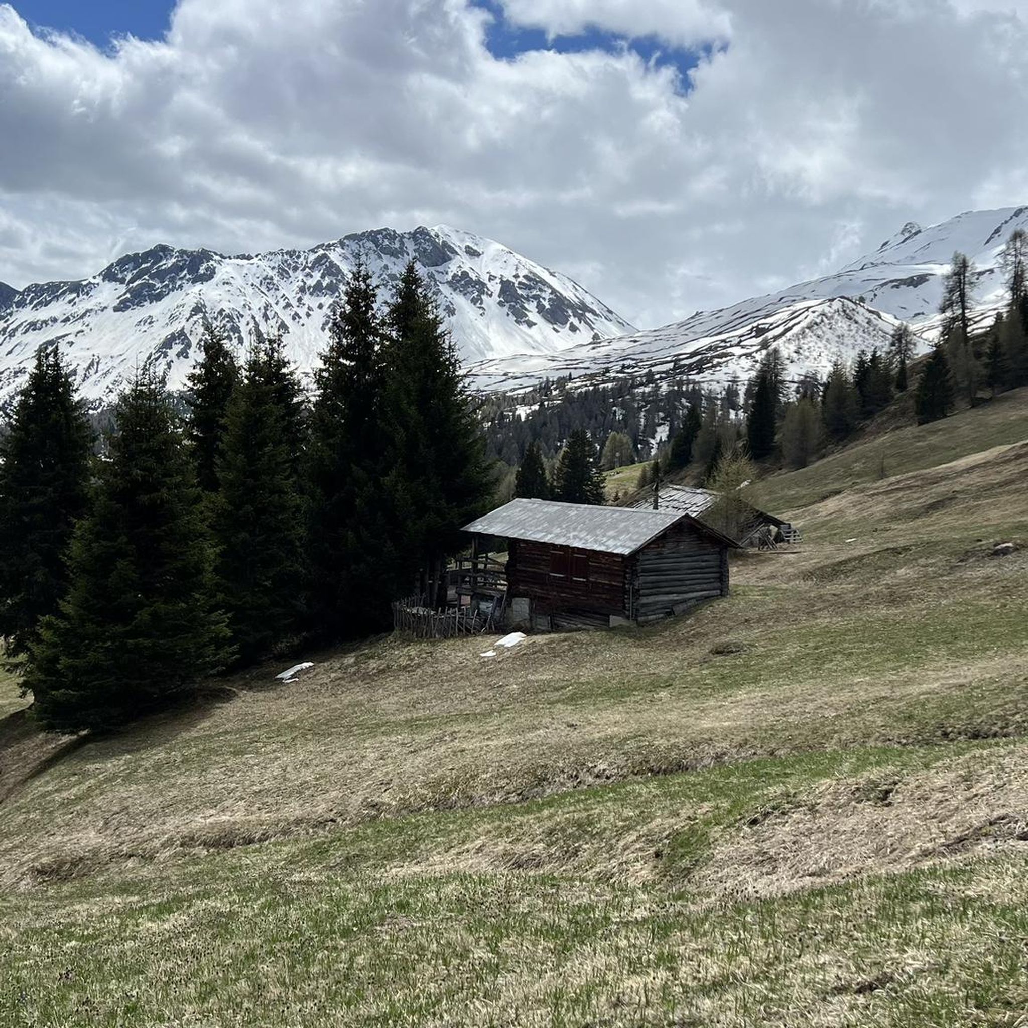
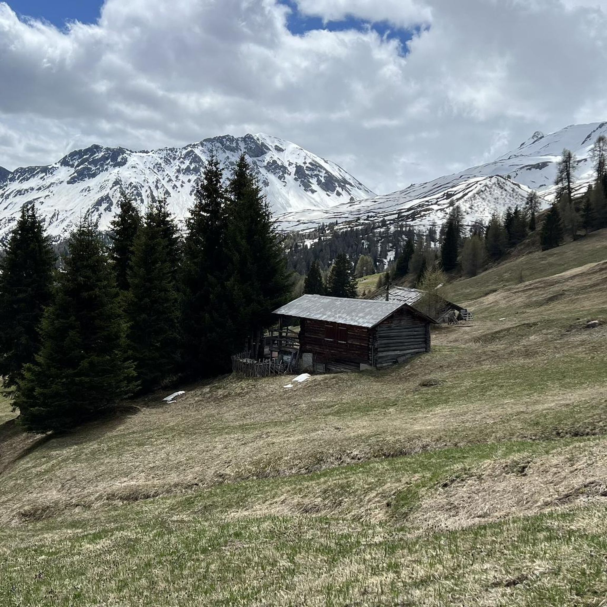
Here in Ziteil, on the eastern slope of the Piz Curvér, is the highest pilgrimage site in Switzerland at 2,429 meters above sea level. The pilgrimage chapel is not always open. If you're lucky enough to have it open, I recommend checking it out inside.
2
1
Frequently Asked Questions
How many hiking trails are available around Tiefencastel?
The Tiefencastel region offers a wide variety of hiking experiences, with over 570 routes available. These range from easy riverside walks to challenging alpine ascents, catering to all skill levels.
What kind of terrain can I expect on hikes near Tiefencastel?
Hikes around Tiefencastel feature diverse terrain, from gentle paths along the Albula and Julia rivers to more rugged alpine trails within Parc Ela. You'll encounter forested sections, open meadows, and rocky mountain paths, often with significant elevation changes, especially on routes leading to higher altitudes like the Ziteil Pilgrimage Chapel.
Are there any easy or beginner-friendly hiking options in Tiefencastel?
Yes, Tiefencastel offers many easy routes. For example, the Stierva – Waterfall loop from Stierva is an easy 4.1-mile trail with minimal elevation gain. Another accessible option is the Church of St. Peter, Mistail – Tiefencastel loop from Lantsch/Lenz, which is also considered easy and takes you through varied local scenery.
Can I find circular hiking routes around Tiefencastel?
Yes, many routes in the Tiefencastel area are designed as loops, allowing you to start and end in the same location. Examples include the Stierva – Waterfall loop from Stierva and the challenging Furcletta – Ziteil Pilgrimage Chapel loop from Stierva, which offers stunning alpine vistas.
Are there any hikes that feature waterfalls near Tiefencastel?
Absolutely. The Stierva – Waterfall loop from Stierva is a popular easy route that includes a waterfall along its path. Additionally, the region boasts several notable waterfalls such as the Schaftobel Waterfall and Nolla Waterfall, which can be incorporated into longer hikes.
What natural features or landmarks can I see while hiking in the Tiefencastel area?
The region is rich in natural beauty and historical landmarks. You can hike alongside the UNESCO World Heritage Albula Railway, marvel at the iconic Viamala Gorge (though slightly further afield), or visit the high-altitude Ziteil Pilgrimage Chapel. The scenic Albula Valley and the crystal-clear Lake Palpuognasee are also prominent features on many trails.
Are there family-friendly hiking trails suitable for children?
Yes, Tiefencastel offers several options suitable for families. Easy, shorter loops like the Stierva – Waterfall loop from Stierva are great for children. The Albula Railway Adventure Trail between Preda and Bergün is also a relatively easy two-hour journey with engaging views of the historic railway, making it enjoyable for families.
Are dogs allowed on hiking trails around Tiefencastel?
Generally, dogs are welcome on most hiking trails in the Tiefencastel region, especially on public footpaths. However, it's always advisable to keep dogs on a leash, particularly in nature reserves like Parc Ela, near livestock, or in areas with wildlife. Always carry water for your dog and be mindful of local regulations.
What is the best time of year to go hiking in Tiefencastel?
The best time for hiking in Tiefencastel is typically from late spring (May/June) through early autumn (September/October). During these months, the weather is generally mild, trails are clear of snow at lower elevations, and the landscapes are vibrant. Higher alpine routes are best enjoyed in mid-summer (July/August) once the snow has fully melted.
Where can I find parking for hiking trailheads in Tiefencastel?
Parking facilities are generally available at or near popular trailheads and villages throughout the Tiefencastel region. Specific parking information can often be found on local tourism websites or detailed route descriptions. For routes starting in villages like Stierva or Lantsch/Lenz, designated parking areas are usually provided.
Can I access hiking trails in Tiefencastel using public transport?
Yes, Tiefencastel is well-connected by public transport, particularly the Rhaetian Railway, which is part of the UNESCO World Heritage site. Many trailheads, especially those along the Albula Railway line, are easily accessible by train or bus, allowing for convenient point-to-point hikes or access to circular routes.
What do other hikers enjoy most about hiking in Tiefencastel?
The komoot community highly rates the hiking experiences in Tiefencastel, with an average score of 4.6 stars from over 2,600 reviews. Hikers frequently praise the stunning alpine scenery, the unique experience of walking alongside the historic Albula Railway, and the diverse range of trails that cater to all abilities, from gentle riverside strolls to challenging mountain ascents.
Most popular routes around Tiefencastel
Most popular attractions around Tiefencastel

Get inspired with the komoot mobile app


Explore more
Browse the best Hikes in other regions.
