The best walks and hikes around Terneuzen
4.4
(1341)
6,721
hikers
511
hikes
Hiking around Terneuzen offers diverse landscapes shaped by its coastal location and historical land reclamation. The region features the Westerschelde Estuary, providing coastal walks, alongside the Braakman Nature Reserve, known for its varied flora and fauna. Hikers can explore routes through old polders and dikes, which define much of the local terrain. This combination of water features and reclaimed land creates a unique environment for outdoor activities.
Best hiking trails around Terneuzen
- The most popular hiking route is Romping around and bird watching in the Braakman nature reserve, a 2.3 miles (3.8 km) trail that takes about 1 hour to complete. This easy route offers opportunities for bird watching within a protected natural area.
- Another top favourite among local hikers is Boundary marker no. 292 – Pereboomsgat Creek loop from Koewacht, a moderate 6.3 miles (10.1 km) path. This route explores the Pereboomsgat Creek area, passing historical boundary markers.
- Local hikers also love the Boundary marker no. 292 – Pereboomsgat Creek loop from Overslag, a 6.3 miles (10.1 km) trail leading through polder landscapes and along the creek, often completed in about 2 hours 30 minutes.
- Hiking around Terneuzen is defined by coastal paths along the Westerschelde Estuary, trails through the Braakman Nature Reserve, and routes across old polders and dikes. The network offers options for various ability levels, from easy strolls to moderate treks.
- The routes in Terneuzen are highly rated by the komoot community with an average score of 4.4 stars from over 1,000 reviews. More than 6,000 hikers have used komoot to explore Terneuzen's varied terrain.
Last updated: July 17, 2026
4.6
(9)
33
hikers
3.77km
00:57
10m
10m
Easy hike. Great for any fitness level. Easily-accessible paths. Suitable for all skill levels.
4.5
(62)
276
hikers
10.1km
02:33
10m
10m
Moderate hike. Good fitness required. Easily-accessible paths. Suitable for all skill levels.

Sign up for free
4.4
(56)
264
hikers
10.1km
02:33
10m
10m
Moderate hike. Good fitness required. Easily-accessible paths. Suitable for all skill levels.
4.5
(75)
256
hikers
Moderate hike. Good fitness required. Easily-accessible paths. Suitable for all skill levels.
4.4
(70)
241
hikers
Moderate hike. Good fitness required. Easily-accessible paths. Suitable for all skill levels.
Get access to more routes and recommendations from other explorers.
Sign up for free
Already have an account?
Our route recommendations are based on thousands of hikes, rides, and runs completed by other people on komoot.
Start today with a free account
Your next adventure awaits.
Login or Signup
Popular around Terneuzen
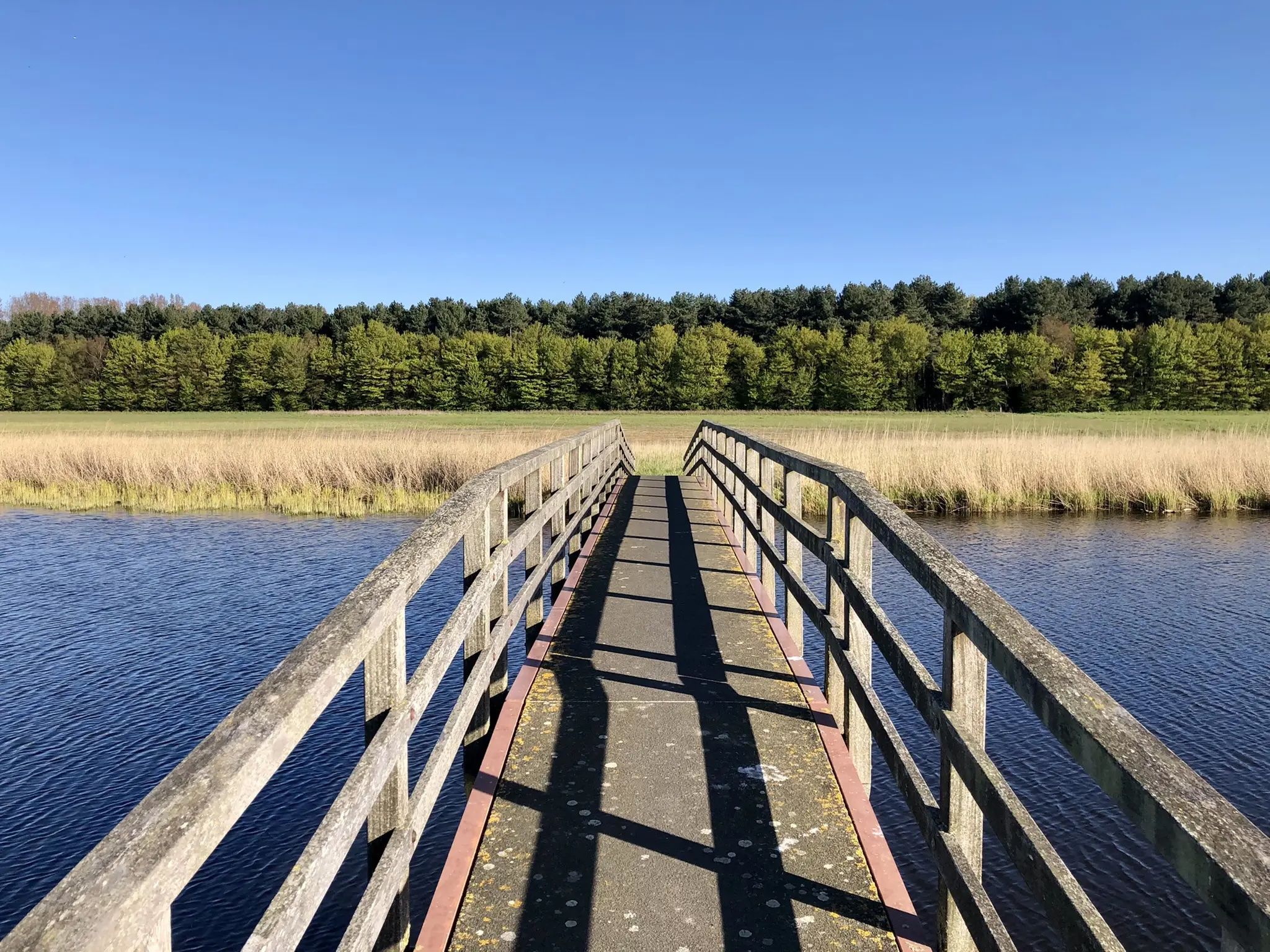
By West, East and Zeeuws-Vlaanderen — GR Uilenspiegel
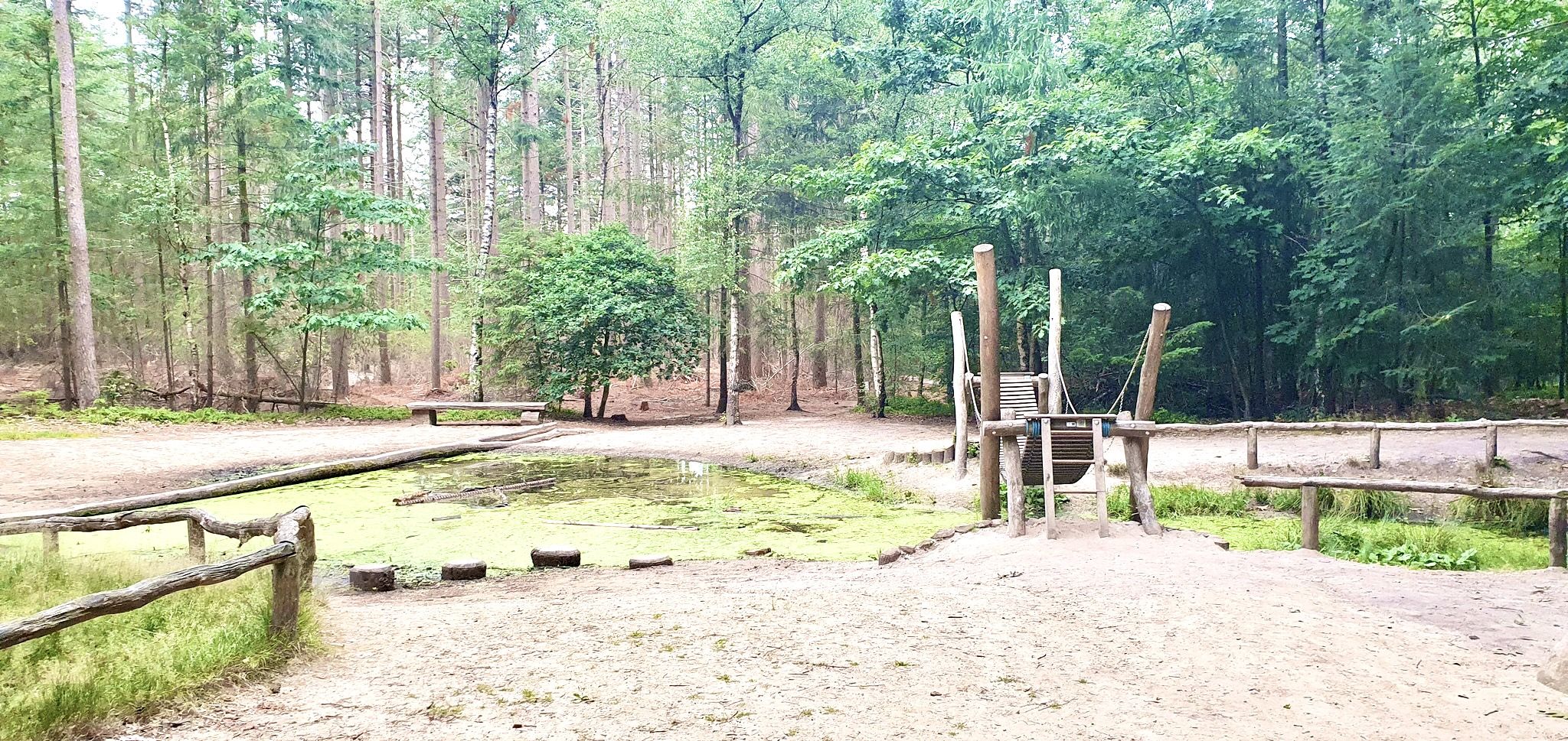
Romping in nature – 20 walks around play forests
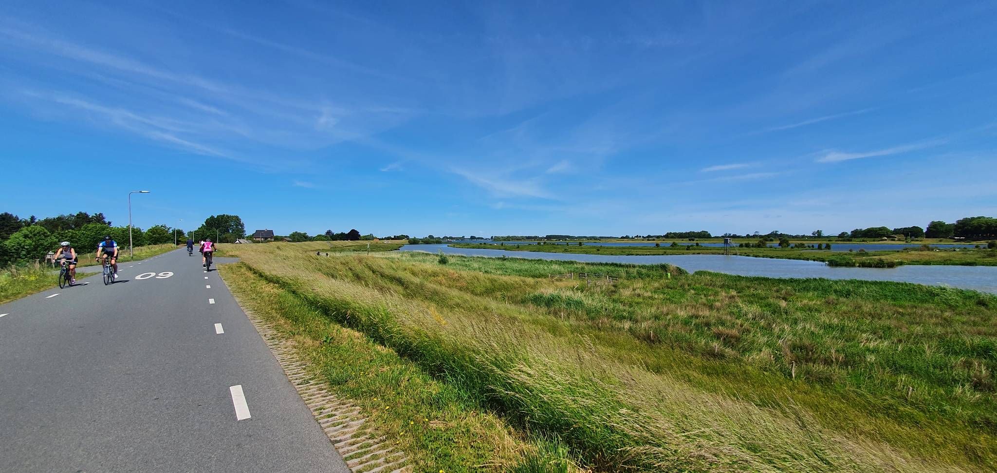
Fresh air guaranteed – five rides along the Netherlands’ dikes
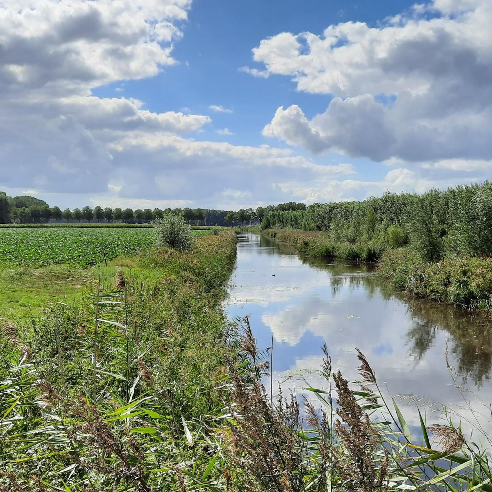
Road Cycling Routes around Terneuzen
Cycling around Terneuzen
MTB Trails around Terneuzen
Running Trails around Terneuzen

Gravel biking around Terneuzen
Other adventures around Terneuzen


Tips from the Community

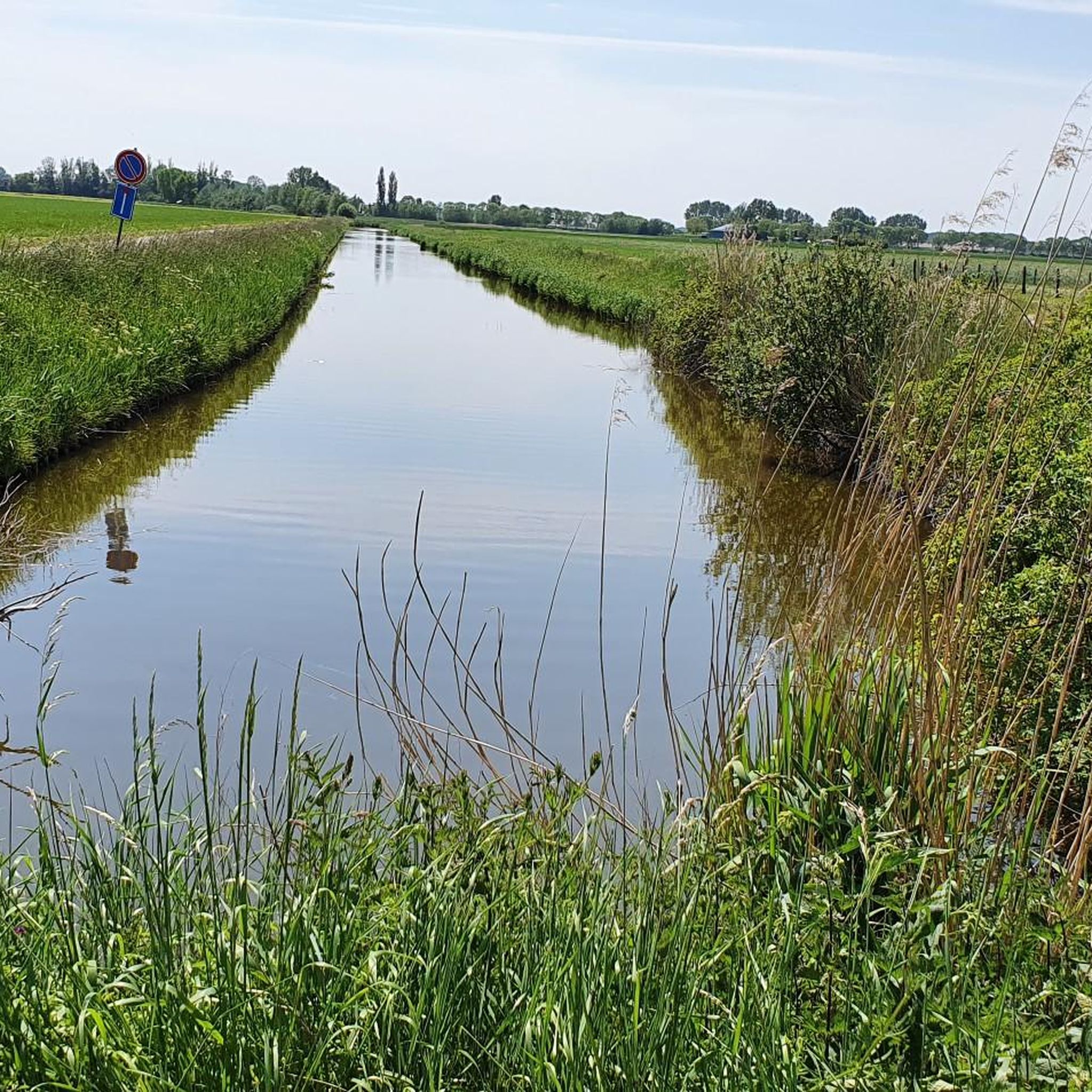
Contrary to the original name of this highlight, this beautiful path does not lead along the Durme, but along the western bank of the Grote Kreek, once an offshoot of the Axelse Kreek. So no river (like the Durme), but a remnant of a diked tidal channel. But whatever the case: this path is highly recommended!
2
0
The Zuidelijke Watergang of the Moerbekepolder connects to the southeastern point of the Grote Kreek. At that point, you can cross the Watergang via a wooden bridge, which also provides access to the walking path around the Grote Kreek.
2
0
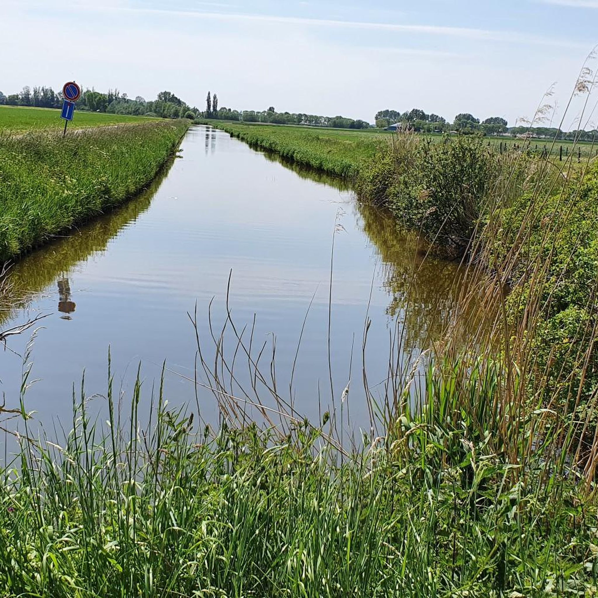
The Perenboomsgat is one of the creeks that is silting up to some extent, creating striking reed lands. The entire southern part of the horseshoe-shaped creek has silted up. In the northern part, there is still an open water section in the west, although strong silting is already occurring here too. Part of this creek remnant lies on Dutch territory, where the banks are managed naturally. The Grote Kreek and Pereboomsgat creeks contain little brackish water and therefore have a lower salt content than, for example, the Sint-Elooiskreek located slightly further west. Source: Inventory of Immovable Heritage
2
0
This is the 292nd of 369 (or 388 if you count the double posts on the Grensmaas as two each time ;-)) border posts. The 291st is slightly to the east on the Beukendreef/Oude Karnemelksstraat, and no. 293 is to the west, near the Kruisstraat & Provinciale Weg. Between posts 292 and 293 there are no fewer than 5 auxiliary border stones (292a to f). Furthermore, in the middle of the Perenboomskreek, below the waterline, there are wooden posts marking the border. Apparently, it has to be quite precise to the (centi)meter here. Discussion about where the border lies is clearly excluded here. A striking detail on post 292 is the somewhat strange design of the two 2's, as if they are reversed S's (see photos). source: grenspalen.one
2
0
The Maraîchine is a French beef cattle breed. The breed originates from – and is named after – the Marais Poitevin, the marshland on the Atlantic coast of the Vendée department in western France. The Maraîchine is known for its milk production and its adaptability to marshy areas. After the Second World War, the breed was threatened with extinction due to specialization in livestock farming. However, in the 1980s, the breed was saved by a group of friends and L'Institut de l'élevage; they rebuilt the population with the help of scattered animals. Thanks to the conservation program, the number of animals is now increasing again. source: Wikipedia
2
0

Élevage de Maraîchines (= breeding of Maraîchine cattle) "Association pour la valorisation de la Race Bovine Maraîchine et des Prairies Humides" (= association for the appreciation of the Maraîchine cattle breed and the wet meadows) - www.vachemaraichine.org - www.duinboer.nl
2
0

This creek is an offshoot of the Moerspeye (the remainder of which is now called the Moerspuische Watergang) which was connected to the Honte (the part of the Scheldt estuary that later developed into the Western Scheldt) via the Braakman, a sea arm in the Netherlands. In 1767, the Moerspuipolder was diked, but the Pereboomsgat, which was not entirely on 'Staten Bodem', remained untouched. That is why the dike had to be built right through the creek.
4
0
The border posts date from 1843 and were placed after the official border had been delayed for several years when Belgium became independent. There are 388 posts in total and each post features the Belgian lion on the Belgian side and the Dutch lion with sword and arrows on the other side. The cast iron posts each weigh 372 kg and are numbered. On Moerbeek territory they bear the numbers 290 to 296. The border runs through the middle of the Pereboomsgatkreek and is demarcated with wooden posts that are located below the waterline.
4
0
Frequently Asked Questions
How many hiking trails are available in Terneuzen?
Terneuzen offers a wide selection of hiking routes, with over 420 trails recorded on komoot. This includes more than 270 easy routes, 140 moderate trails, and a few challenging options, ensuring there's something for every hiker.
What types of landscapes can I expect to see while hiking in Terneuzen?
Hiking in Terneuzen provides a diverse experience, from coastal paths along the Westerschelde Estuary with panoramic water views to tranquil trails within the Braakman Nature Reserve, known for its rich birdlife. You'll also explore routes through historic polders and dikes, which are characteristic of the region's unique reclaimed land.
Are there any easy hiking trails suitable for beginners or families in Terneuzen?
Yes, Terneuzen has over 270 easy hiking routes. A popular choice for a relaxed stroll and bird watching is the Romping around and bird watching in the Braakman nature reserve, which is about 3.8 km long and takes approximately 1 hour to complete.
Can I find circular hiking routes in Terneuzen?
Many of Terneuzen's trails are designed as circular routes, allowing you to start and end at the same point. Examples include the moderate Boundary marker no. 292 – Pereboomsgat Creek loop from Koewacht, which explores polder landscapes and historical markers.
What are some notable natural attractions to see on a hike in Terneuzen?
The region is rich in natural beauty. You can explore the diverse flora and fauna of the Braakman Nature Reserve, or experience the unique environment of the Drowned Land of Saeftinghe Nature Reserve, a nearby marshland. The Otheense Kreek also offers a quiet walking path through a park with old pollard willows.
Are there any historical sites or landmarks I can visit while hiking in Terneuzen?
Yes, Terneuzen's history is visible along its trails. You can find routes that pass through old polders and dikes, reflecting the region's land reclamation efforts. For historical landmarks, consider exploring nearby castles like Puyenbrug Castle or the Refugium of Baudeloo. Some routes also touch upon World War II history, such as the 'Battle of the Scheldt Hiking Route'.
What do other hikers say about the trails in Terneuzen?
The hiking trails in Terneuzen are highly regarded by the komoot community, holding an average rating of 4.4 stars from over 1,100 reviews. Hikers frequently praise the varied terrain, from coastal views to peaceful nature reserves, and the well-maintained paths.
Are there any longer, more challenging hikes in Terneuzen?
While most routes are easy to moderate, Terneuzen does offer some longer options. For example, the Braakman Pond and Wetlands – Creek in Braakman-Noord loop from Paradijs is a moderate 10.9 km trail that takes around 2 hours 45 minutes, offering a more extended exploration of the nature reserve.
What is the best time of year to go hiking in Terneuzen?
Terneuzen offers enjoyable hiking experiences throughout the year. Spring and autumn provide pleasant temperatures and beautiful scenery, with blooming flowers or vibrant fall foliage. Summer is ideal for coastal walks, while winter can offer crisp, quiet trails, especially in the nature reserves.
Are there opportunities for bird watching while hiking in Terneuzen?
Absolutely. The Braakman Nature Reserve is a prime location for bird watching, featuring diverse flora and fauna. The Romping around and bird watching in the Braakman nature reserve route is specifically designed for this, allowing you to observe various bird species in their natural habitat.
Can I find routes that combine hiking with views of the Westerschelde Estuary?
Yes, the Westerschelde Estuary is a prominent feature of the Terneuzen landscape, and many routes offer stunning coastal walks with panoramic views of the water. These trails provide a unique blend of natural beauty and maritime atmosphere.
Most popular routes around Terneuzen
Most popular attractions around Terneuzen

Get inspired with the komoot mobile app


Explore more
Browse the best Hikes in other regions.
