The best walks and hikes around Cromstrijen
4.3
(113)
847
hikers
68
hikes
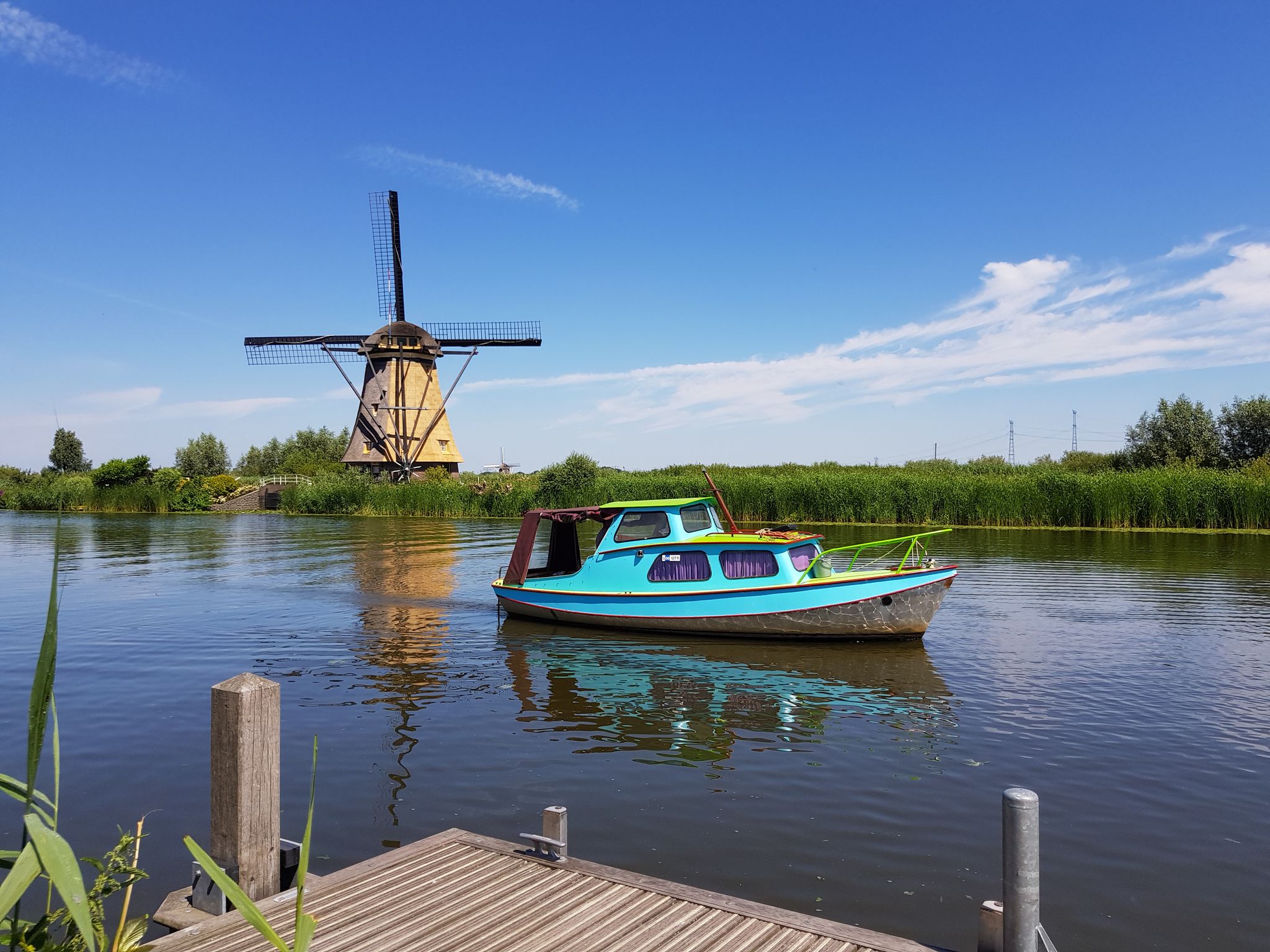
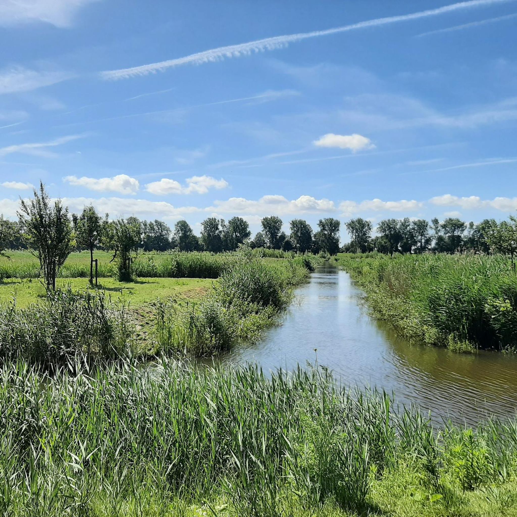
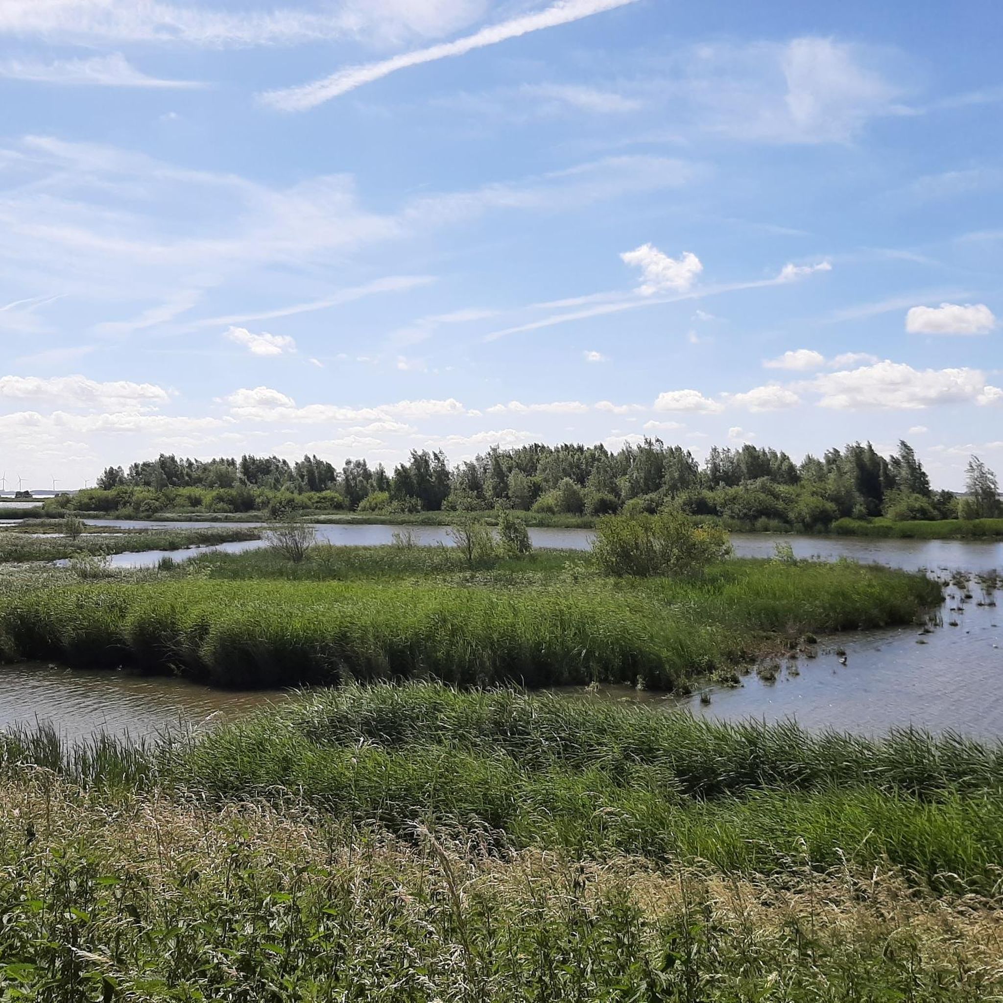
Hiking around Cromstrijen offers opportunities to explore the diverse polder landscape of the Hoeksche Waard region. This area is characterized by its network of dikes and waterways, providing accessible trails for various fitness levels. The natural scenery includes open fields and views across the water, making it suitable for outdoor activities on foot.
Best hiking trails around Cromstrijen
- The most popular hiking route is Boardwalk with viewpoint – Schuringse Haven loop from Numansdorp, a 5.8 miles (9.3 km) trail…
Last updated: July 21, 2026
4.3
(9)
85
hikers
5.72km
01:27
10m
10m
Easy hike. Great for any fitness level. Easily-accessible paths. Suitable for all skill levels.
4.6
(11)
65
hikers
8.17km
02:03
10m
10m
Moderate hike. Good fitness required. Easily-accessible paths. Suitable for all skill levels.

Sign up for free
4.0
(5)
28
hikers
4.93km
01:15
10m
10m
Easy hike. Great for any fitness level. Easily-accessible paths. Suitable for all skill levels.
5.0
(5)
29
hikers
Easy hike. Great for any fitness level. Easily-accessible paths. Suitable for all skill levels.
29
hikers
4.39km
01:07
10m
10m
Easy hike. Great for any fitness level. Easily-accessible paths. Suitable for all skill levels.
Get access to more routes and recommendations from other explorers.
Sign up for free
Already have an account?
Our route recommendations are based on thousands of hikes, rides, and runs completed by other people on komoot.
Start today with a free account
Your next adventure awaits.
Login or Signup
Other adventures around Cromstrijen

Tips from the Community

The Major's Hole This is a pond between Fort Buitensluis, the Numansgors, and the new Torensteepolder neighborhood. Soil was needed for the construction of the first earthen fort. A great deal of it. This was dug from the Torensteepolder within the dike. This created an enormously deep pit. The gigantic clay pit north of the fort was called "excavated soil." A dike breach in 1912 caused the hole to fill with water. This created a new paradise for waterfowl, which became known as "The Major's Hole." Source: geocaching.com
0
0

Beautiful view of the diversity of flora and fauna of a beautiful piece of nature
0
0

great view over the Oeverlanden
2
0
Formal name is dorpshaven. The harbour is a long stretch and runs from the village centre to Fort Buitensluis which is situated on the Hollands Diep.
2
0
Ideal place to stop for coffee or lunch during a walk. Situated on the harbour and if the weather permits the terrace is a great place.
1
0
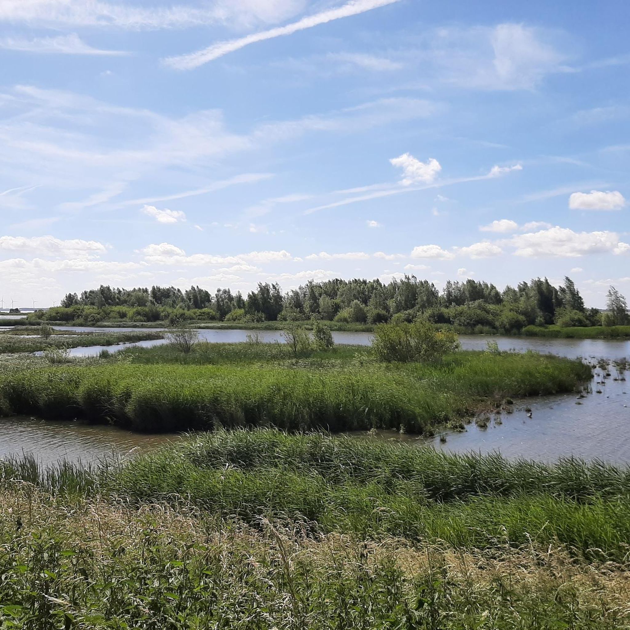
Beautiful piece of nature with a great diversity of birds
2
0

Have a coffee and enjoy a beautiful view of the harbor
0
0

Take the route over the dike or along the water
0
0
Frequently Asked Questions
How many hiking trails are available in Cromstrijen?
Cromstrijen offers a good selection of hiking routes, with over 60 trails available. Most of these, around 50, are considered easy, while about 17 are moderate, providing options for various fitness levels.
What kind of landscape can I expect to see while hiking in Cromstrijen?
Hiking in Cromstrijen allows you to explore the distinctive polder landscape of the Hoeksche Waard region. You'll encounter a network of dikes and waterways, open fields, and scenic views across the water, characteristic of the Dutch countryside.
Are there any family-friendly hiking routes in Cromstrijen?
Yes, Cromstrijen has many easy routes suitable for families. For example, the Oeverlanden Hollands Diep loop from Numansdorp is an easy 4.6 km path that takes about 1 hour and 10 minutes, perfect for a leisurely family outing.
What do other hikers enjoy most about the trails in Cromstrijen?
The trails in Cromstrijen are highly rated by the komoot community, with an average score of 4.3 stars from over 90 reviews. Hikers often praise the accessible paths, diverse polder landscape, and the peaceful views along the dikes and waterways.
Are there any circular hiking routes in Cromstrijen?
Yes, many of the hiking routes in Cromstrijen are circular, offering convenient starting and ending points. An example is the View of Hollands Diep – View of the Hollands Diep loop from Numansdorp, an easy 6.5 km trail that provides scenic views.
What are some interesting landmarks or natural features to see near Cromstrijen?
Near Cromstrijen, you can explore several interesting spots. Consider visiting the Rhoonse Grienden Willow Groves for a unique natural experience, or the Moerdijk Bridge Monument for a historical landmark. For water views, the Haringvliet Bridge is also nearby.
Are there any nature reserves or specific natural areas to explore around Cromstrijen?
Yes, the region around Cromstrijen features notable natural areas. The Oeverlanden Hollands Diep Nature Reserve is a great place to experience local wildlife and landscapes. You can also find the Haringvliet Wetlands and Highland Cattle nearby, offering diverse natural scenery.
What is the difficulty level of hiking trails in Cromstrijen?
Cromstrijen's hiking trails cater to various abilities. The majority of routes are easy, perfect for casual walks. There are also moderate trails for those seeking a bit more challenge, such as the Boardwalk with viewpoint – Schuringse Haven loop from Numansdorp, which is 9.3 km long.
Can I find trails that offer views of the water or harbors?
Absolutely. Given Cromstrijen's location within the polder landscape, many trails offer picturesque views of waterways and harbors. The Dorpshaven Numansdorp – Schuringse Haven loop from Numansdorp is an excellent example, navigating along local harbors and water features.
Are there any trails that go through villages or towns?
Yes, some routes will take you through local villages, allowing you to experience the charm of the area. The Schippershuis Numansdorp – Dorpshaven Numansdorp loop from Numansdorp is a good option, leading through the village and along the harbor.
What is the best time of year to go hiking in Cromstrijen?
The polder landscape of Cromstrijen is enjoyable throughout much of the year. Spring and summer offer lush greenery and pleasant weather, while autumn provides beautiful colors. Even in winter, the open landscape can offer crisp, clear views, though some paths might be wet.
Most popular attractions around Cromstrijen

Get inspired with the komoot mobile app


Explore more
Browse the best Hikes in other regions.
