The best running trails around Dunnavenny
32
runners
5
runs
Jogging around Dunnavenny offers opportunities to explore the region's varied terrain, characterized by forested areas, rural paths, and gentle elevations. The landscape provides a suitable environment for moderate running routes. These trails often feature natural elements like waterfalls and forest settings. The area's network of paths allows for engaging running experiences.
Best jogging routes around Dunnavenny
- The most popular jogging route is Altkeeran Waterfall loop from Carntogher, a 2.5 miles (4.1 km) trail that takes about 35 minutes to…
Last updated: October 2, 2026
11
runners
4.05km
00:34
170m
170m
Moderate run. Good fitness required. Mostly paved surfaces. Suitable for all skill levels.
8
runners
5.13km
00:37
50m
50m
Moderate run. Good fitness required. Mostly paved surfaces. Suitable for all skill levels.

5
runners
5.62km
00:35
30m
30m
Moderate run. Good fitness required. Mostly paved surfaces. Suitable for all skill levels.
4
runners
5.92km
00:37
40m
40m
Moderate run. Good fitness required. Mostly paved surfaces. Suitable for all skill levels.
4
runners
9.11km
01:02
140m
140m
Moderate run. Good fitness required. Mostly paved surfaces. Suitable for all skill levels.
Our route recommendations are based on thousands of hikes, rides, and runs completed by other people on komoot.
Tips from the Community

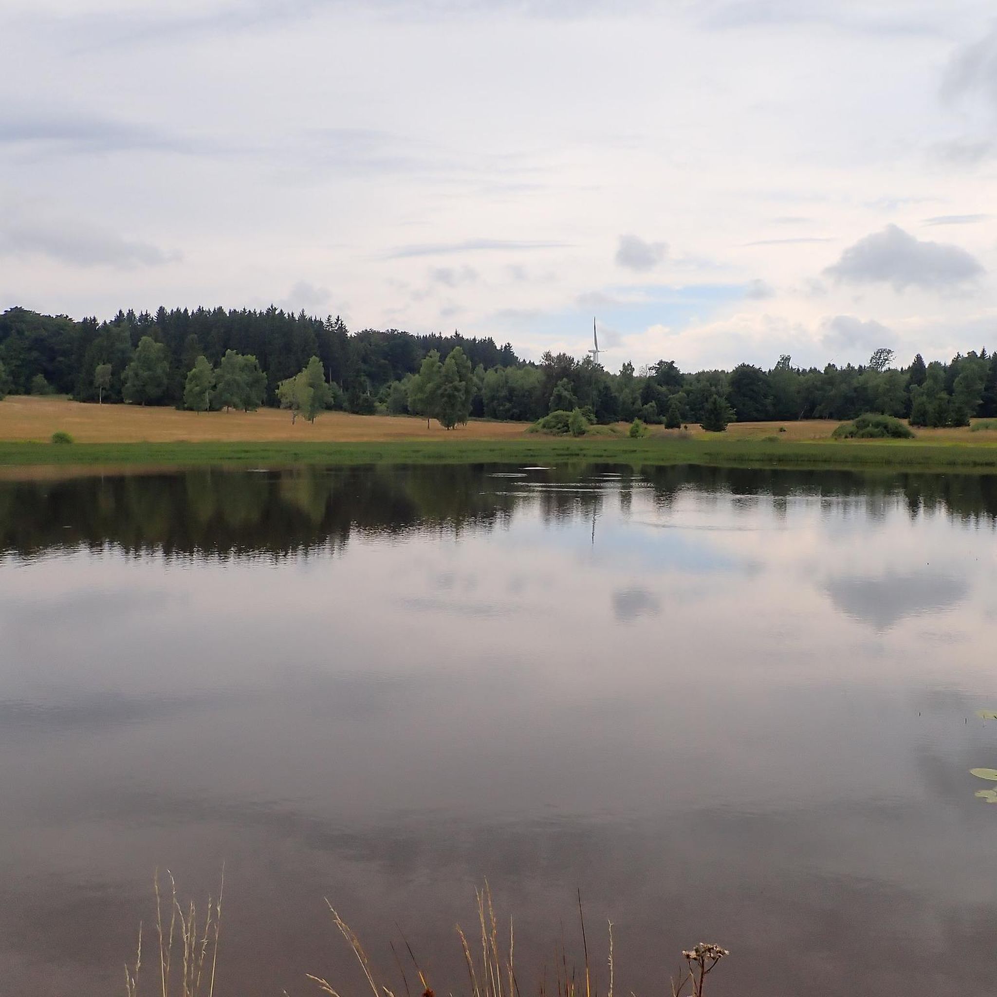
If you walk 100m slightly off the path south at this waypoint, you'll reach the beautiful little Altkeeran Waterfall. The waterfall is situated nearby to the spring Source Of The Grillagh and the peak Carntogher.
2
0
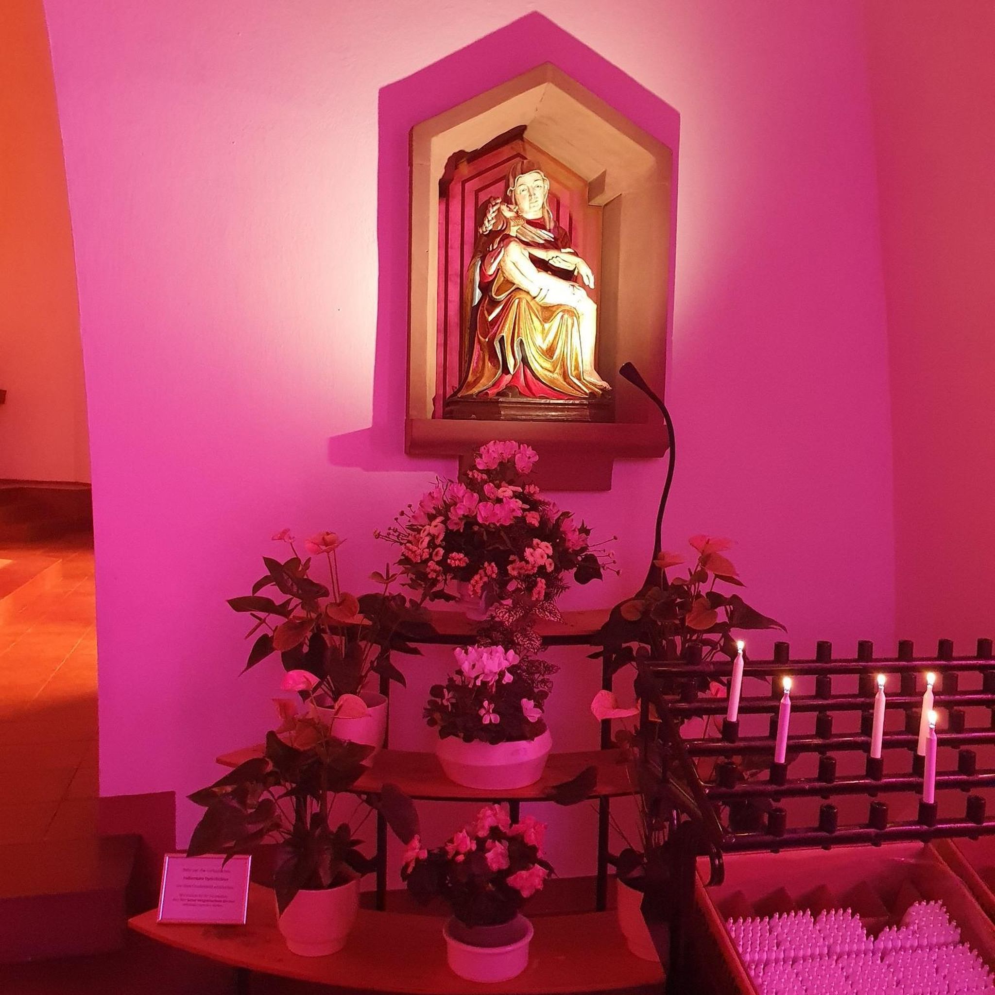
Glenshane Forest is a beautiful coniferous woodland located along the Glenshane Pass on the main road between Belfast and Londonderry. The forest features a large area of heather moorland and a beautiful babbling brook that runs right through it, the River Roe. Gorgeous location for a stroll with a fascinating touch of history too if you're heading to Priest's Chair.
1
0

Here lies a beautiful weaved structure of a pair of deer, one of the many fun and fascinating discoveries of the Garvagh Forest.
4
0
Frequently Asked Questions
What kind of running trails can I expect around Dunnavenny?
The running trails around Dunnavenny are characterized by forested areas, rural paths, and gentle elevations. You'll find routes that offer a mix of natural elements, including forest settings and even waterfalls, providing engaging running experiences.
How many jogging routes are available in the Dunnavenny area?
There are 6 dedicated jogging routes documented in the Dunnavenny area on komoot. All of these routes are classified as moderate difficulty, offering varied terrain for runners.
Are there any running routes that feature waterfalls?
Yes, the Altkeeran Waterfall loop from Carntogher is a popular 2.5-mile (4.1 km) trail that takes you through forested areas and features a beautiful waterfall, making for a scenic run.
Are the running trails in Dunnavenny suitable for beginners?
All the listed running routes around Dunnavenny are rated as moderate difficulty. While they feature gentle elevations and varied surfaces, they are generally accessible for runners with some experience. Beginners might find them a good challenge to progress their fitness.
Can I find circular running routes in Dunnavenny?
Yes, many of the running routes in Dunnavenny are designed as loops. For example, the Garvagh Forest Trails loop from Garvagh and the Running loop from Movenis are both excellent circular options, allowing you to start and finish in the same location.
Are there any forest running trails in the region?
Absolutely. The Garvagh Forest Trails loop from Garvagh is a prime example, winding through Garvagh Forest and offering varied running surfaces within a natural woodland setting. Another option is the Glenshane Forest – Glenshane Pass loop from Sheskin Burn.
What is the typical length and duration of a running route in Dunnavenny?
The running routes in Dunnavenny vary in length, with the shortest being around 2.5 miles (4.1 km) and the longest extending up to 5.7 miles (9.1 km). Most routes can be completed within 35 minutes to just over an hour, depending on your pace and the specific trail.
Are the running trails around Dunnavenny suitable for families?
Given that all routes are of moderate difficulty and feature gentle elevations, many families who enjoy outdoor activities and have a reasonable fitness level would find these trails enjoyable. The forested and rural paths offer a pleasant environment for a family run or walk.
What are the elevation changes like on Dunnavenny's running routes?
The routes feature gentle elevations. For instance, the Running loop from Swatragh has an elevation gain of about 36 meters, while the Altkeeran Waterfall loop from Carntogher has a more significant gain of around 169 meters. This variety allows for different levels of challenge within the moderate category.
Can I expect to see any wildlife while running in Dunnavenny?
While specific wildlife sightings cannot be guaranteed, the presence of forested areas and rural paths suggests opportunities for wildlife spotting. Runners often enjoy the natural surroundings, which can include various birds and small mammals typical of such environments.
Are there any longer running routes for more experienced runners?
For those looking for a longer run, the Glenshane Forest – Glenshane Pass loop from Sheskin Burn is a great option. It covers approximately 5.7 miles (9.1 km) and takes about 1 hour and 2 minutes to complete, offering a more extended experience through varied terrain.
What kind of surfaces will I encounter on the running trails?
The trails primarily consist of natural surfaces, including rural paths and forest trails. This means you can expect a mix of compacted earth, gravel, and potentially some uneven sections, typical of outdoor running environments.
Most popular routes around Dunnavenny

Get inspired with the komoot mobile app


Explore more
Browse the best Running Trails & Routes in other regions.
