The best running trails around Smulgedon
30
runners
2
runs
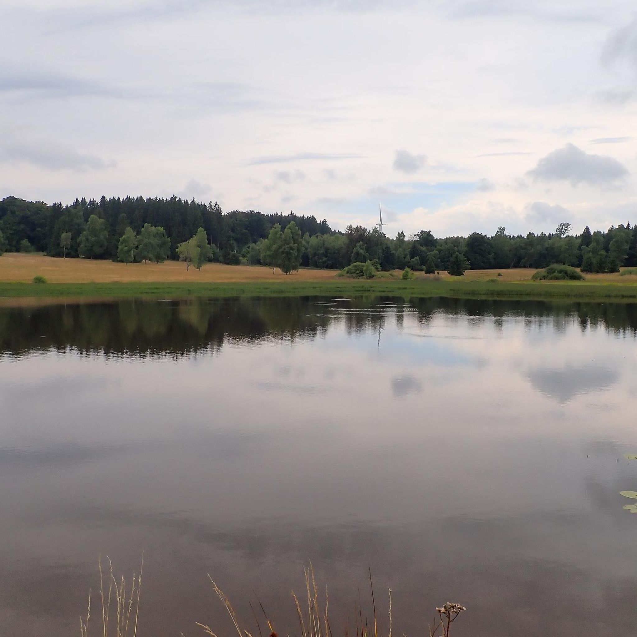
Jogging routes around Smulgedon are situated on the lower, north-facing slopes of Smulgedon Hill, within the foothills of Northern Ireland's Sperrin Mountains. The region is characterized by species-rich wet grasslands, including rush pasture and fen meadow, offering a unique ecological backdrop for running. Varied topography, with slopes descending towards the Castle River valley, provides opportunities for both inclines and descents. Its location within the Sperrin Mountains Area of Outstanding Natural Beauty provides access to a wider network of trails.
Best…
Last updated: September 29, 2026
8
runners
5.13km
00:37
50m
50m
Moderate run. Good fitness required. Mostly paved surfaces. Suitable for all skill levels.
5
runners
8.82km
00:55
40m
40m
Moderate run. Good fitness required. Mostly paved surfaces. Suitable for all skill levels.

7
runners
11.3km
01:23
190m
190m
Moderate run. Good fitness required. Mostly paved surfaces. Suitable for all skill levels.
4
runners
3.22km
00:20
10m
10m
Easy run. Great for any fitness level. Mostly paved surfaces. Suitable for all skill levels.
3
runners
9.49km
00:59
70m
70m
Moderate run. Good fitness required. Mostly paved surfaces. Suitable for all skill levels.
Our route recommendations are based on thousands of hikes, rides, and runs completed by other people on komoot.
Tips from the Community


Here lies a beautiful weaved structure of a pair of deer, one of the many fun and fascinating discoveries of the Garvagh Forest.
4
0
Frequently Asked Questions
How many running routes are available around Smulgedon?
Komoot features 5 distinct running routes around Smulgedon. These trails offer a variety of experiences, from shorter, easier loops to more challenging moderate runs with significant elevation gain.
Are there running trails suitable for beginners in Smulgedon?
Yes, beginners can enjoy the Running loop from Ardgarvan. This easy 2.0-mile (3.2 km) trail features gentle terrain and can typically be completed in about 20 minutes, making it ideal for those new to running or looking for a relaxed jog.
What kind of terrain can I expect on the jogging routes in Smulgedon?
The jogging routes in Smulgedon offer varied terrain. You'll encounter species-rich wet grasslands, including rush pasture and fen meadow, which are characteristic of this Area of Special Scientific Interest. The topography includes slopes descending towards the Castle River valley, providing opportunities for both inclines and descents. Some routes, like the Graffiti Art loop from Limavady, are relatively flat, while others, such as the Running loop from Meencraig, feature significant elevation changes.
Are there any circular running routes in Smulgedon?
Yes, all the running routes listed for Smulgedon are circular loops. This includes popular options like the Running loop from Meencraig, the Graffiti Art loop from Limavady, and the Running loop from Ardgarvan, allowing you to start and finish at the same point.
What are the longer running options available in the Smulgedon area?
For a longer run, consider the Running loop from Meencraig, which spans 7.0 miles (11.3 km) and takes about 1 hour 25 minutes. Another good option is the Running loop from Limavady, covering 9.5 km with moderate elevation.
Can I find scenic viewpoints on the running trails around Smulgedon?
Given Smulgedon's elevated position on Smulgedon Hill and its location within the Sperrin Mountains, many routes offer scenic vistas of the surrounding natural landscape. The broader Sperrin Mountains are known for their beautiful mountain views and ancient oak woodlands, providing an aesthetically pleasing backdrop for your run.
What makes Smulgedon a unique place for jogging?
Smulgedon is unique for its distinctive natural features, particularly its species-rich wet grasslands, which are recognized as an Area of Special Scientific Interest (ASSI). Jogging through these rush pastures and fen meadows offers a visually stimulating experience, different from typical urban or paved routes, with diverse flora like tormentil and Devil's-bit scabious.
Are there any running routes that offer a good challenge in terms of elevation?
Yes, the Running loop from Meencraig is an excellent choice if you're looking for a challenge. This 7.0-mile (11.3 km) route features the highest elevation gain among the listed paths, ascending nearly 190 meters, providing a good workout for your legs.
What is the best time of year to go running in Smulgedon?
The varied topography and wet grasslands of Smulgedon mean conditions can change with the seasons. While running is possible year-round, spring and summer offer milder weather and vibrant flora. Autumn provides beautiful scenery, though trails might be wetter. Always check local weather conditions before heading out, especially in winter when paths may be more challenging.
What do other runners say about the trails in Smulgedon?
Over 30 runners have used komoot to explore Smulgedon's varied terrain. While specific ratings are not yet available, the community frequently praises the unique ecological backdrop of the species-rich wet grasslands and the diverse options for different ability levels, from easy, short loops to more challenging moderate routes.
Are there any specific natural attractions or points of interest to look out for while running?
Smulgedon itself is an Area of Special Scientific Interest (ASSI) due to its complex range of species-rich wet grasslands, including rush pasture and fen meadow. These unique ecological features, supporting diverse flora, are the primary natural attraction. The broader Sperrin Mountains also offer scenic views and ancient oak woodlands along nearby trails.
Most popular routes around Smulgedon

Get inspired with the komoot mobile app


Explore more
Browse the best Running Trails & Routes in other regions.
