The best MTB trails around Pollington
3.6
(7)
15
riders
11
rides
Mountain biking around Pollington offers a network of routes primarily characterized by flat terrain and canal towpaths, making it suitable for various skill levels. The landscape features open fields, agricultural land, and occasional woodland sections, with minimal elevation changes. This area provides accessible paths for those seeking less strenuous rides. The region's waterways, such as the New Junction Canal, are prominent features, offering scenic and level riding surfaces.
Best mountain bike trails around Pollington
- The most popular mountain bike trail…
Last updated: July 22, 2026
3.0
(1)
1
riders
Easy mountain bike ride. Great for any fitness level. Suitable for all skill levels.
2.0
(2)
2
riders
Easy mountain bike ride. Great for any fitness level. Suitable for all skill levels.

Sign up for free
2
riders
57.0km
02:56
110m
110m
Moderate mountain bike ride. Good fitness required. Suitable for all skill levels.
5.0
(2)
2
riders
Easy mountain bike ride. Great for any fitness level. Suitable for all skill levels.
3.0
(1)
1
riders
30.1km
01:54
240m
240m
Easy mountain bike ride. Great for any fitness level. Suitable for all skill levels.
Get access to more routes and recommendations from other explorers.
Sign up for free
Already have an account?
Our route recommendations are based on thousands of hikes, rides, and runs completed by other people on komoot.
Start today with a free account
Your next adventure awaits.
Login or Signup
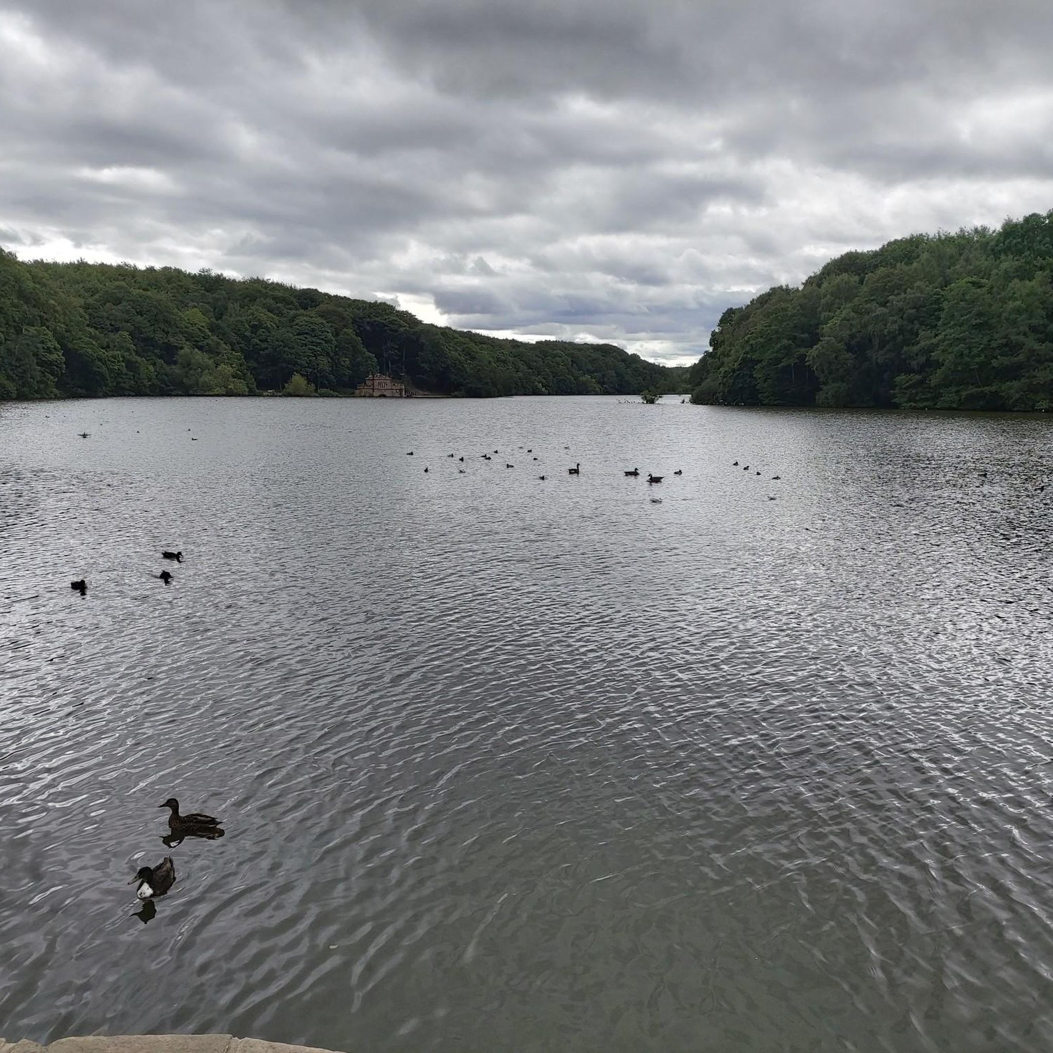
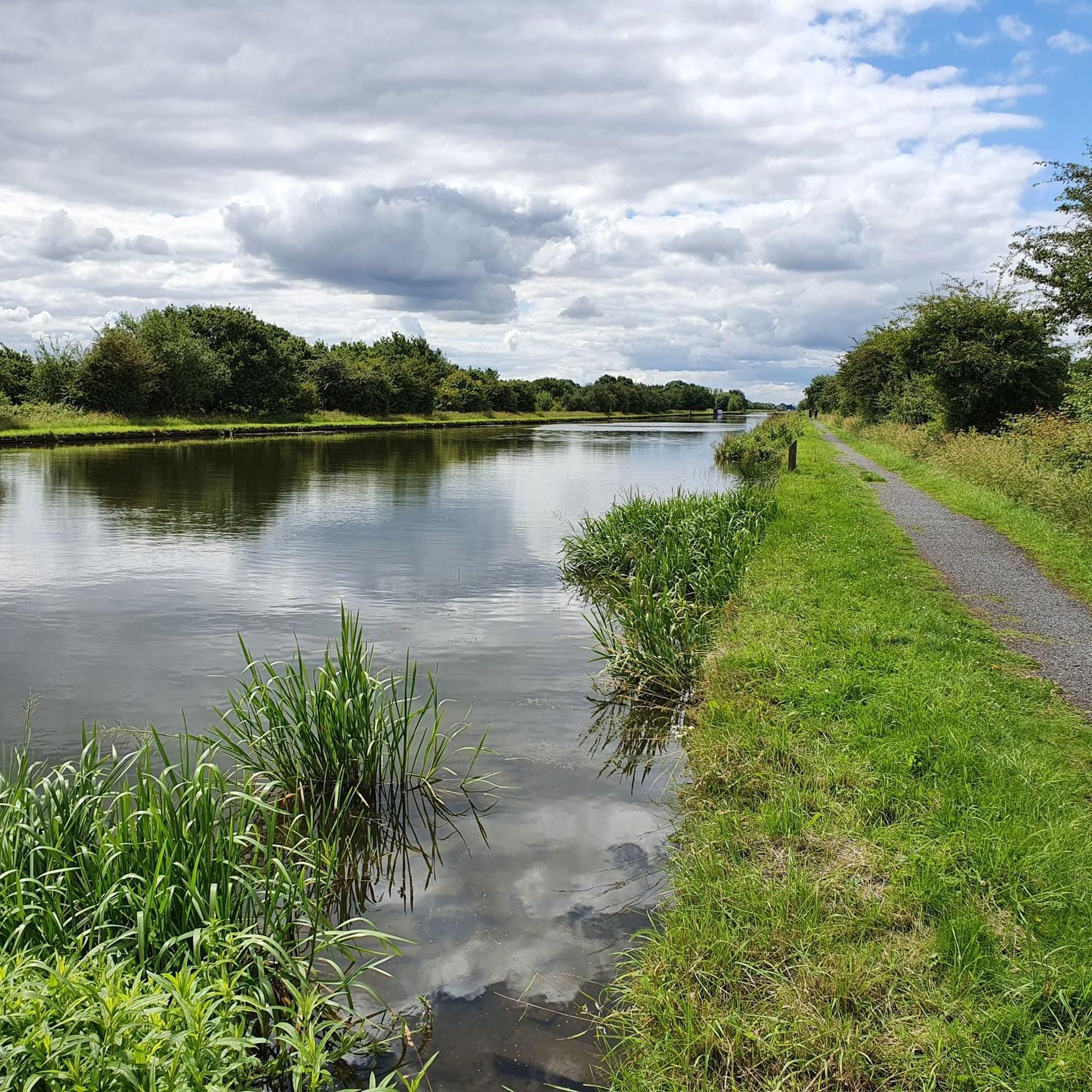
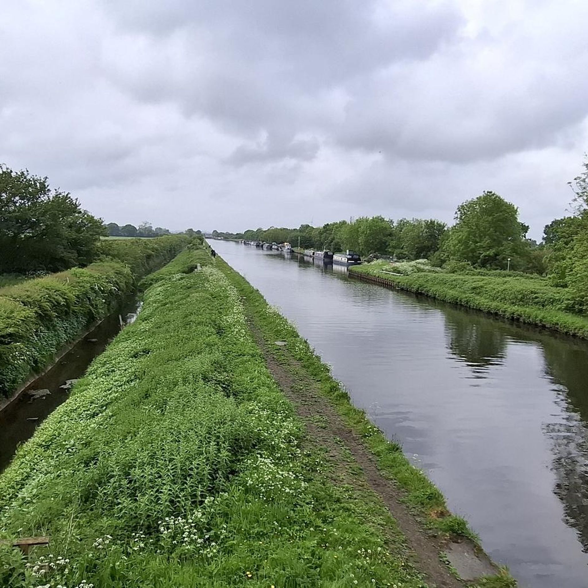
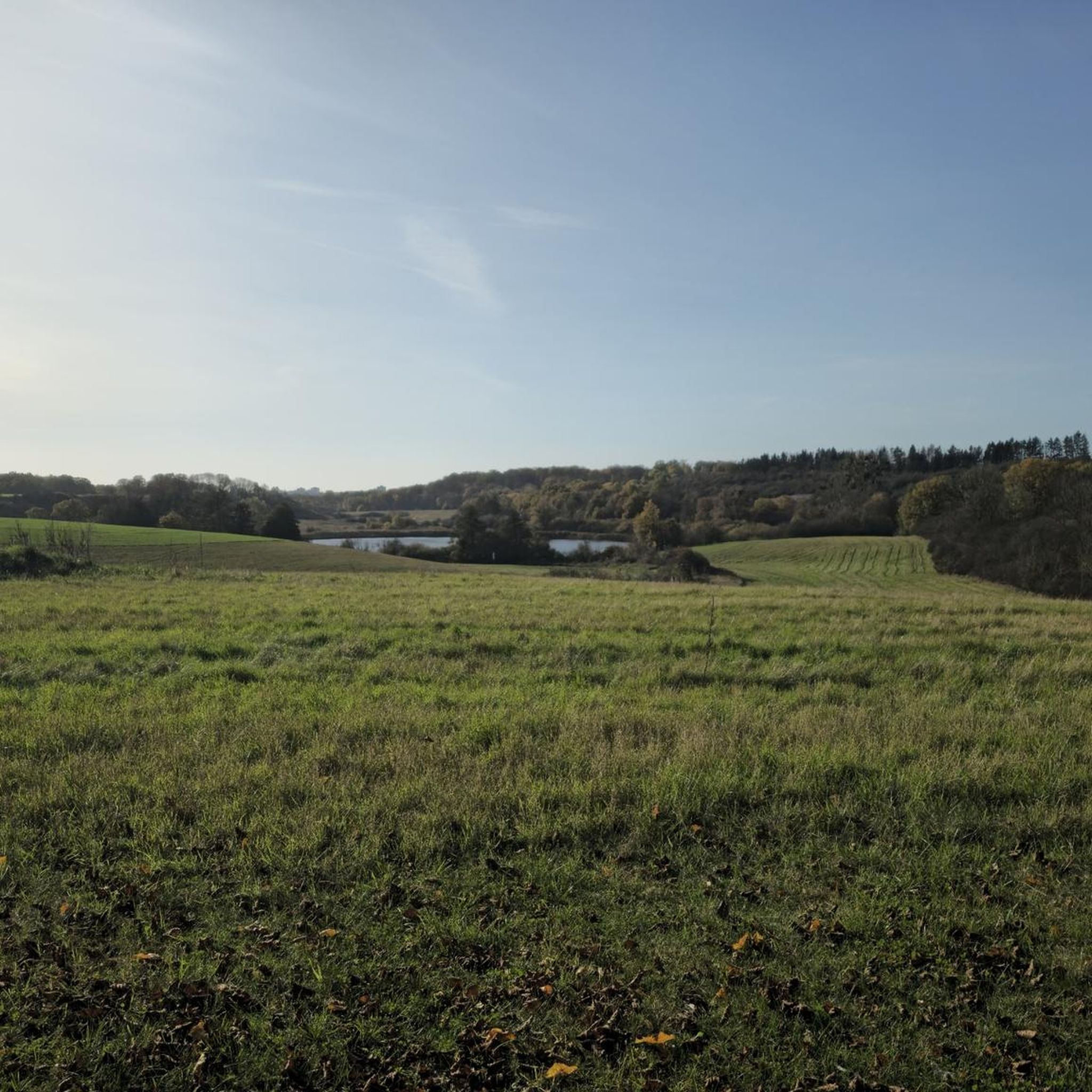
Tips from the Community

Impassable passage for touring bikes! What were the English thinking??!!
0
0


Opens at 08.30, serves very nice coffee, and has some delicious cakes n buns 👍
0
0

Nice restaurant. Also offers rooms.
1
0
Low Lane Swing Bridge is a minor waterways place on the Sheffield and South Yorkshire Navigation (New Junction Canal) between Sykehouse Lift Bridge (Sykehouse village is about a mile to the east.) (3 miles and 5½ furlongs and 1 lock to the northeast) and Bramwith Junction (Junction of Sheffield and South Yorkshire Navigation main line with New Junction Canal) (6¾ furlongs to the southwest). https://canalplan.uk/place/emmj
1
0
Top Lane Lift Bridge is a minor waterways place on the Sheffield and South Yorkshire Navigation (New Junction Canal) between Sykehouse Lift Bridge (Sykehouse village is about a mile to the east.) (3 miles and 2¼ furlongs and 1 lock to the northeast) and Bramwith Junction (Junction of Sheffield and South Yorkshire Navigation main line with New Junction Canal) (1 mile and 1¾ furlongs to the southeast). https://canalplan.uk/place/qpdl
1
0
Kirkhouse Green Lift Bridge is a minor waterways place on the Sheffield and South Yorkshire Navigation (New Junction Canal) between Sykehouse Lift Bridge (Sykehouse village is about a mile to the east.) (2 miles and 4¾ furlongs and 1 lock to the northeast) and Bramwith Junction (Junction of Sheffield and South Yorkshire Navigation main line with New Junction Canal) (1 mile and 7½ furlongs to the southwest). https://canalplan.uk/place/5kba
1
0
Frequently Asked Questions
What is the general difficulty level of mountain bike trails around Pollington?
The mountain bike trails around Pollington are primarily easy to moderate, characterized by flat terrain and canal towpaths. There are no difficult mountain bike routes listed in this area, making it suitable for a wide range of riders, including beginners.
Are there any challenging mountain bike trails in Pollington for experienced riders?
The mountain bike trails in Pollington are generally easy to moderate. This guide does not feature any difficult routes, so experienced riders seeking technical challenges might find the terrain less demanding. The focus here is on accessible paths and less strenuous rides.
How many mountain bike trails are available in the Pollington area?
There are over 10 mountain bike trails available around Pollington, offering a variety of options for different skill levels, predominantly easy and moderate.
Are the mountain bike trails around Pollington suitable for families or beginners?
Yes, many of the trails around Pollington are ideal for families and beginners due to their flat terrain and minimal elevation changes. Routes like Low Lane Swing Bridge – Narrow Woodland Bridleway loop from Barnby Dun with Kirk Sandall are classified as easy and offer accessible riding experiences.
What kind of terrain can I expect on mountain bike trails in Pollington?
You can expect primarily flat terrain, often following canal towpaths. The landscape features open fields, agricultural land, and occasional small woodland sections. The region's waterways, such as the New Junction Canal, are prominent features, offering scenic and level riding surfaces.
Are there any circular mountain bike routes in Pollington?
Yes, many of the mountain bike routes around Pollington are designed as loops. For example, the Kirkhouse Green Lift Bridge – Low Lane Swing Bridge loop from Hatfield & Stainforth is an easy 13.5-mile circular path offering views along the canal and open countryside.
What can I see along the mountain bike trails around Pollington?
Along the trails, you can enjoy views of open countryside, agricultural land, and the region's waterways like the New Junction Canal. Notable points of interest include the Low Lane Swing Bridge and the historic Carlton Towers, which is passed on the Carlton Towers – St Laurence Church, Snaith loop from Whitley Bridge.
Are there any cafes or places to stop for refreshments along the mountain bike routes?
While specific cafes directly on every route are not detailed, the Birkin Tea Room is a nearby attraction that could be incorporated into a ride or visited before/after. Many routes pass through or near villages where local amenities might be found.
What do other mountain bikers enjoy most about mountain biking in Pollington?
The area is highly rated by the komoot community, with an average score of 3.3 stars. Reviewers often praise the accessible, flat terrain and the scenic canal towpaths, which provide a relaxed and enjoyable riding experience through the countryside.
What is the best season for mountain biking in Pollington?
Given the flat terrain and canal towpaths, mountain biking in Pollington is generally enjoyable from spring through autumn. While winter rides are possible, conditions can be muddy, especially on unpaved sections, so checking local weather and trail conditions is advisable.
Are there less crowded mountain bike routes in Pollington?
The Pollington area generally offers a quieter riding experience compared to more popular mountain biking destinations. Routes like New Junction Canal Towpath – Kirkhouse Green Lift Bridge loop from Hatfield & Stainforth provide a peaceful journey along the canal and through open countryside, away from major crowds.
What are the typical lengths and elevation gains for mountain bike trails in Pollington?
Trail lengths vary, with routes like Low Lane Swing Bridge – Narrow Woodland Bridleway loop from Barnby Dun with Kirk Sandall being around 8.7 miles (14.1 km) and longer options such as the Carlton Towers – St Laurence Church, Snaith loop from Whitley Bridge extending to 35.5 miles (57.2 km). Elevation gains are minimal across the board, reflecting the flat nature of the region.
Most popular attractions around Pollington

Get inspired with the komoot mobile app


Explore more
Browse the best MTB trails in other regions.
