The best walks and hikes around Holton
4.7
(243)
1,707
hikers
66
hikes
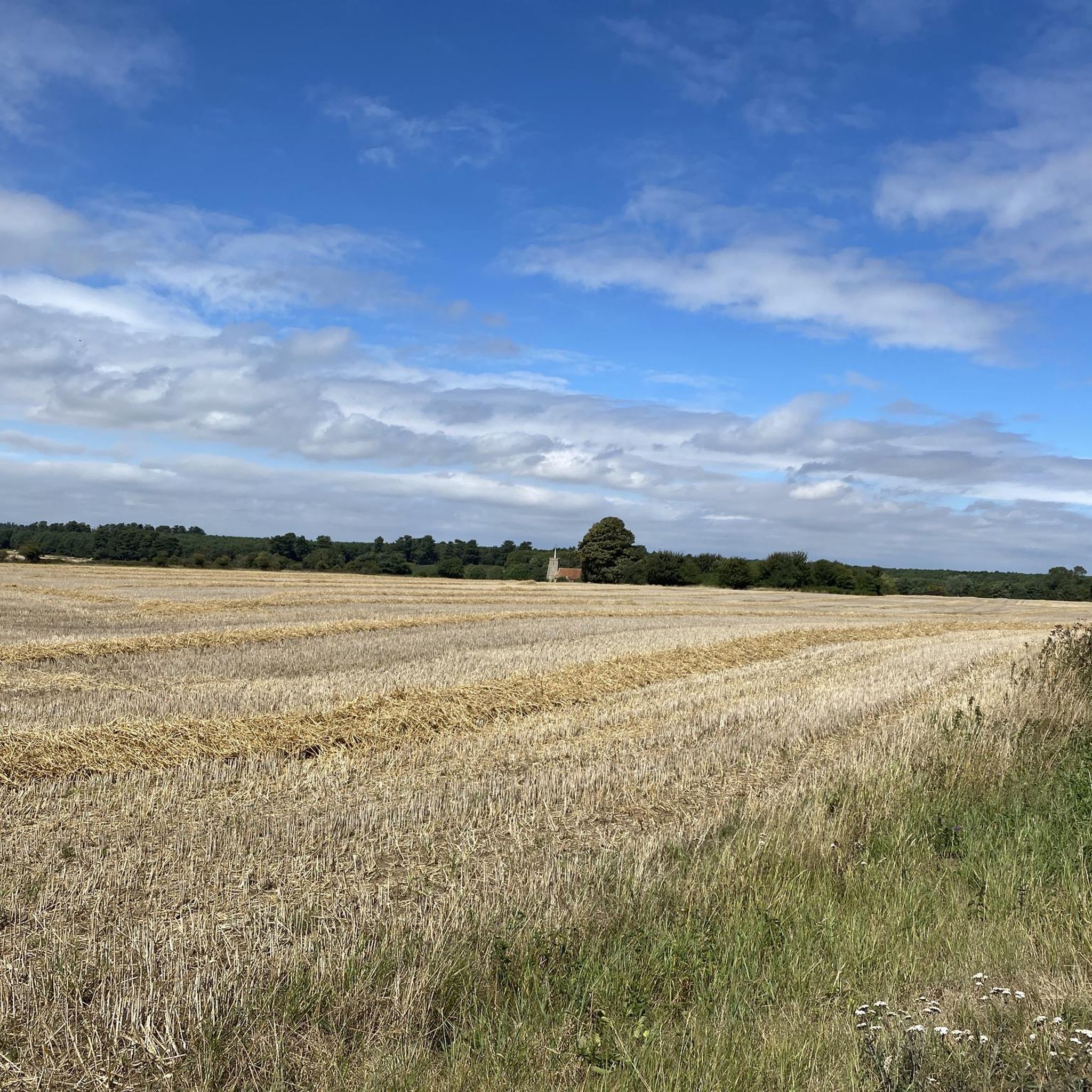
Hiking around Holton, Kansas, offers routes through diverse natural features, including native grasses, woodlands, and wildflower plots. The region is characterized by scenic landscapes of Northeast Kansas, featuring well-maintained trail systems. The terrain is generally flat with minimal elevation, making it accessible for a wide range of hikers.
Best hiking trails around Holton
- The most popular hiking route is Bailey Bridge – Walberswick Village Green loop from Blythburgh, an 8.5 miles (13.7 km) trail that takes around 3 hours…
Last updated: October 10, 2026
9
hikers
5.99km
01:33
30m
30m
Easy hike. Great for any fitness level. Easily-accessible paths. Suitable for all skill levels.
5.0
(1)
4
hikers
7.01km
01:49
40m
40m
Easy hike. Great for any fitness level. Easily-accessible paths. Suitable for all skill levels.

4.0
(1)
5
hikers
Easy hike. Great for any fitness level. Easily-accessible paths. Suitable for all skill levels.
5.0
(2)
3
hikers
7.17km
01:51
30m
30m
Easy hike. Great for any fitness level. Easily-accessible paths. Suitable for all skill levels.
4.0
(1)
4
hikers
Hard hike. Very good fitness required. Easily-accessible paths. Suitable for all skill levels.
Get access to more routes and recommendations from other explorers.
Already have an account?
Our route recommendations are based on thousands of hikes, rides, and runs completed by other people on komoot.
Start today with a free account
Your next adventure awaits.

Tips from the Community


Great pub grub, there's a definite argument for it making the best fish and chips in the area
0
0

The front looks towards the harbour and moored cruisers but with a car park in-between. The best views are from the garden to the rear, which looks across the marshes towards Southwold rising beyond.
0
0
The Black Dog Deli near the top end of the main shopping street is a good option for a cafe stop, with plenty of space out front. Open 8am-4pm Mon-Sat.
1
0

Plenty of room behind the pub for bikes. Ghost Ship pale ale is available in an alcohol free option
0
0

Diversion but saves the cost of the ferry
0
0
A proper English country pub. Great food and a fine selection of Ales http://www.wenhastonstar.co.uk/
0
0
Frequently Asked Questions
Are the hiking trails around Holton suitable for families with children?
Yes, the region is very family-friendly. The terrain is generally flat with minimal hills, making it accessible for a wide range of ages and fitness levels. A great option is the Hiking loop from Bramfield, which is a relatively short walk through fields and woodlands.
Can I bring my dog on the trails?
Dogs are generally welcome on the public footpaths around Holton, but they should be kept under control, especially near farmland and wildlife reserves. The Suffolk Coast & Heaths is an important area for ground-nesting birds, so it's best to keep dogs on a lead during nesting season (typically March to August).
What is the terrain like for hiking in this area?
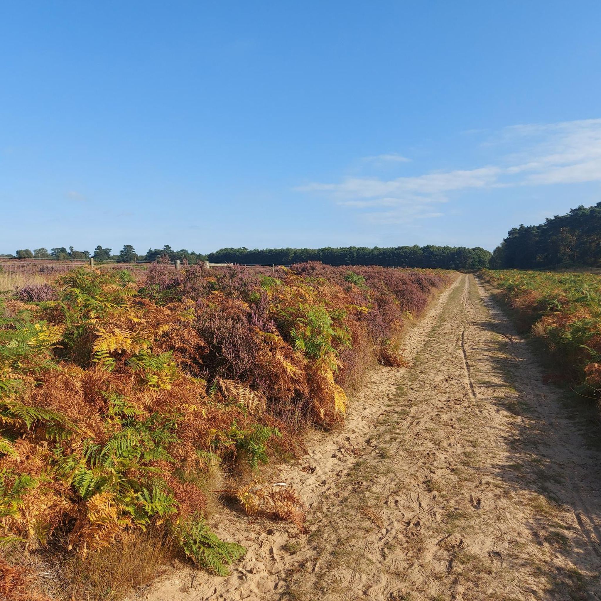
The landscape around Holton is characterized by gentle, rolling countryside within the Suffolk Coast & Heaths Area of Outstanding Natural Beauty. You can expect to hike along river estuaries, across marshland, and through quiet woodlands and heath. Most trails are flat with very little elevation change.
How many hiking trails are available near Holton?
There are over 60 hiking routes to explore around Holton. The majority of these are rated as easy, with a good number of moderate options for those seeking a slightly longer walk. There is something for nearly every fitness level.
Are there any circular walks available?
Yes, many of the routes are loops that bring you back to your starting point. For an easy circular walk, consider the Hiking loop from Blythburgh, which offers a pleasant walk of about 4.5 km.
What do other hikers think of the trails around Holton?
The trails are highly regarded by the komoot community. Reviewers often praise the beautiful scenery along the River Blyth, the peaceful woodland paths, and the abundance of wildlife in the estuaries and marshlands.
Are there any challenging hikes in the area?
The region is known for its gentle landscape, so you won't find steep mountain climbs. For a more challenging day out, you could try a longer moderate route like the Bailey Bridge – Walberswick Village Green loop from Blythburgh, which covers over 13 km and takes several hours to complete.
What kind of scenery and viewpoints can I expect?
The scenery is classic Suffolk coastal landscape. Expect wide-open skies, expansive views across the Blyth Estuary, reedbeds teeming with birdlife, and charming paths through villages like Walberswick and Blythburgh. The Bailey Bridge offers a particularly good vantage point over the river.
Are there any short walks I can do?
Absolutely. There are plenty of shorter options perfect for a quick outing. The Blythburgh loop via Blyth Estuary is under 3.5 km and offers lovely views without a long time commitment.
What should I pack for a hike in Holton?
Even on easy trails, it's wise to wear sturdy walking shoes as paths can be uneven or muddy, especially after rain. We recommend bringing water, snacks, and a waterproof jacket, as the weather on the coast can change quickly. Binoculars are also a great idea for birdwatching around the estuaries.
Are there any trails that follow the river?
Yes, several trails follow the River Blyth. A popular choice that stays close to the water is the Along the River Blyth loop from Blythburgh. This easy 6.8 km route provides excellent views of the estuary and its wildlife.
Is it possible to get to the trailheads using public transport?
Accessing the trailheads directly via public transport can be challenging in this rural area. Bus services connect some of the larger villages like Blythburgh, but schedules can be infrequent. It's best to check local bus timetables in advance. Most visitors find it easiest to travel by car.
Most popular attractions around Holton

Get inspired with the komoot mobile app


Explore more
Browse the best Hikes in other regions.
