The best walks and hikes around Rapperswil
4.5
(1471)
9,921
hikers
640
hikes
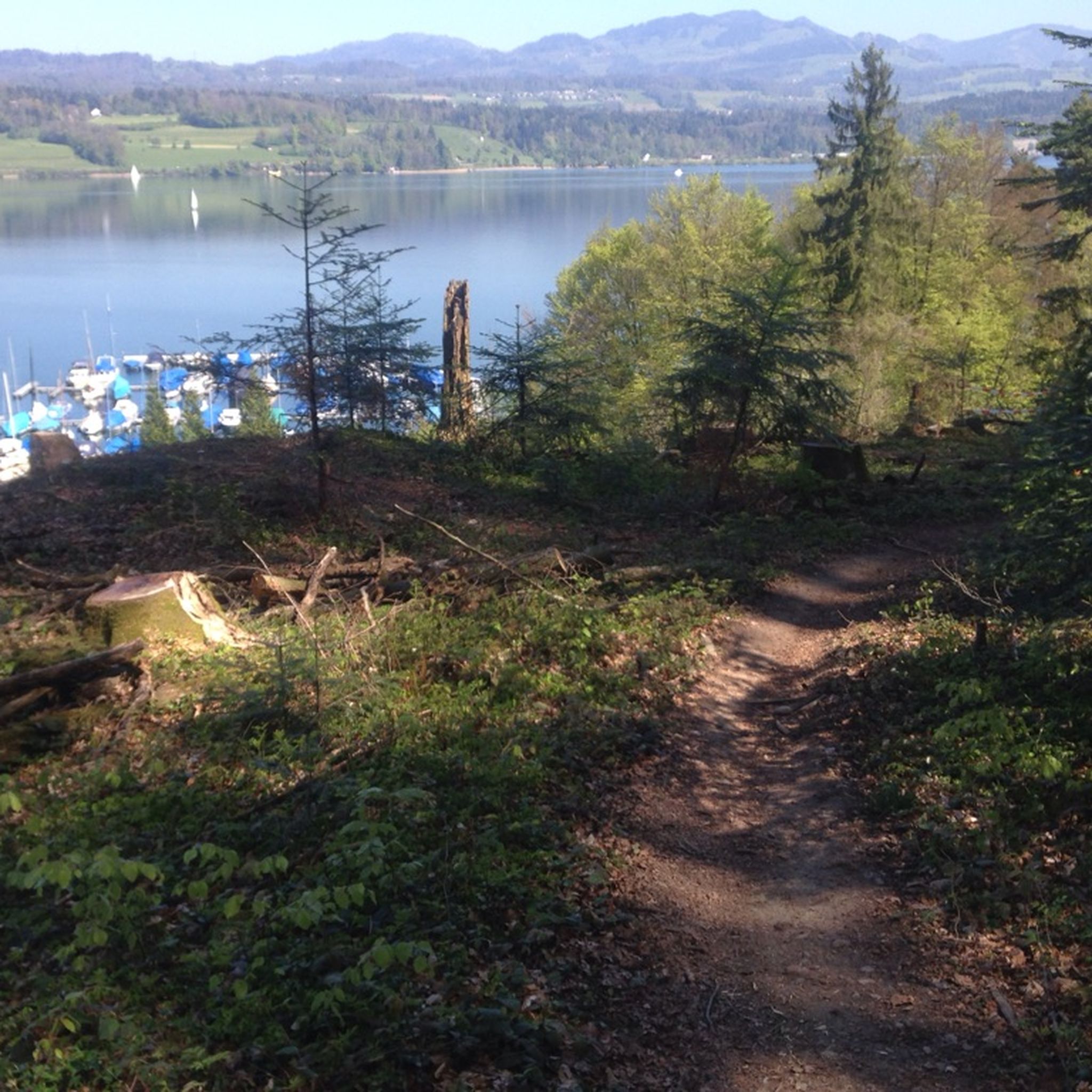
Hiking around Rapperswil offers diverse landscapes, combining lakeside paths with rolling hills and forested terrains. The region is situated at the upper end of Lake Zurich, providing access to both tranquil waterside trails and elevated areas with panoramic views. Hikers can explore varied elevations, from flat promenades along the lake to more challenging ascents into the surrounding hills of the Zurich Oberland. The area is characterized by a mix of natural features, including the shores of Lake Zurich and Obersee, as well as dense woodlands and open fields.
Best hiking trails around Rapperswil
- The most popular hiking route is Fields Near Bern – Animal Park of the Wyss Private Clinic loop from Münchenbuchsee, a 3.5 miles (5.6 km) trail that takes 1 hour 30 minutes to complete, offering an easy walk through open fields.
- Another top favourite among local hikers is Münchenbuchsee Church – Bärenriedwald Forest Trail loop from Münchenbuchsee, a moderate 7.1 miles (11.4 km) path. This route leads through forested areas with varied terrain and takes approximately 3 hours 8 minutes.
- Local hikers also love the Moossee – Moossee loop from Münchenbuchsee, a 5.7 miles (9.1 km) trail leading through the scenic Moossee area, often completed in about 2 hours 22 minutes.
- Hiking around Rapperswil is defined by serene lakeside promenades, challenging hillside trails, and historical attractions. The extensive network of routes offers options for various ability levels, from easy strolls to more strenuous ascents.
- The routes in Rapperswil are highly rated by the komoot community with an average score of 4.5 stars from more than 1,400 reviews. More than 9,000 hikers have used komoot to explore Rapperswil's varied terrain.
Last updated: September 30, 2026
4.3
(3)
23
hikers
Easy hike. Great for any fitness level. Easily-accessible paths. Suitable for all skill levels.
4.5
(2)
13
hikers
Moderate hike. Good fitness required. Easily-accessible paths. Suitable for all skill levels.

4.0
(2)
12
hikers
9.10km
02:21
50m
50m
Moderate hike. Good fitness required. Easily-accessible paths. Suitable for all skill levels.
9
hikers
7.83km
02:02
40m
40m
Moderate hike. Good fitness required. Easily-accessible paths. Suitable for all skill levels.
4.5
(2)
7
hikers
15.8km
04:24
300m
300m
Moderate hike. Good fitness required. Easily-accessible paths. Suitable for all skill levels.
Get access to more routes and recommendations from other explorers.
Already have an account?
Our route recommendations are based on thousands of hikes, rides, and runs completed by other people on komoot.
Start today with a free account
Your next adventure awaits.
Tips from the Community


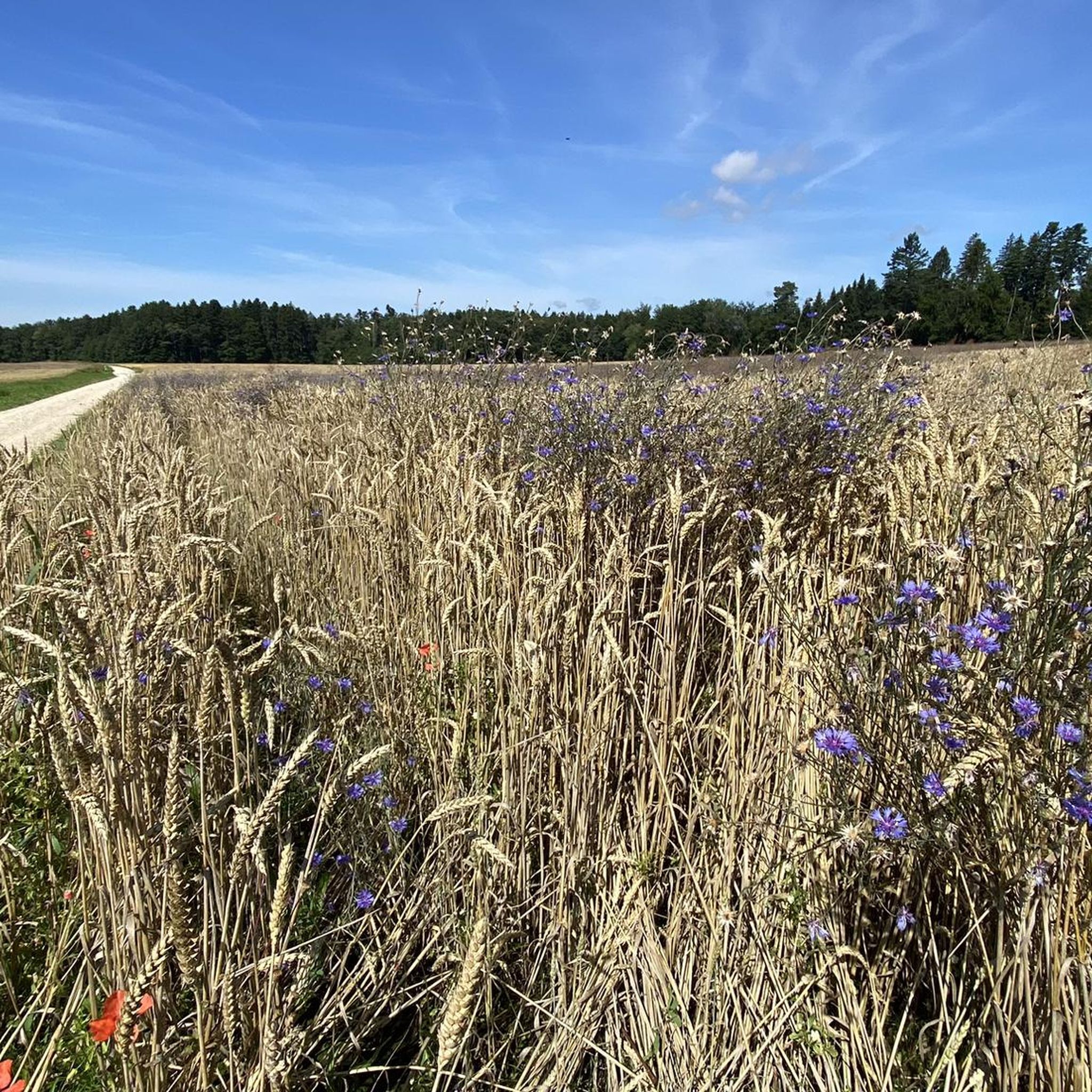
From Frienisberg via this short trail to the Chutzenturm, then continue northwest to the Lobsiger sandstone caves.
0
0

This offer is delicious 😋
0
0

The Wyss Private Clinic boasts a diverse park covering over 47,000 m². Parts of the spacious park, including an animal park, are located on a small hill with magnificent views of the Bernese Alps and the Jura Mountains. Around 50 animals are kept in species-appropriate conditions in spacious enclosures. These include alpacas, rabbits, silkie chickens, pygmy goats, emus, Bennett's wallabies, and Parma wallabies, a subspecies of kangaroo. The green animal park oasis is open not only to clinic patients, but also to family members and residents from the entire region.
0
0

Friendly service, delicious food! No problem with dogs. Wheelchair accessible toilet. There is a real pizza oven in the dining room, so it has a cozy atmosphere.
0
0

At Zollikofen train station you have to cross the footbridge, take the lift up and go down the ramp.
0
0

Highlight title quote “Tell’s Hohle Gasse”? There is only one "Tell's Hohle Gasse" and it is not in this location. The Hohle Gasse is an artificial ravine between Küssnacht and Immensee in Switzerland. William Tell is said to have shot the Habsburg governor Hermann Gessler in Hohle Gasse in 1307. In Friedrich Schiller's drama Wilhelm Tell, Tell says (IV, 3): “He must come through this hollow alley. There is no other way to Küssnacht.” Today's Hohle Gasse was once the road from Küssnacht to Immensee. As traffic increased, a bypass was built in 1937, which relieved the Hohle Gasse of motorized traffic. The old road was narrowed with the help of stone blocks.
0
0

Historically extremely interesting (see signage)!
0
0
Frequently Asked Questions
How many hiking trails are there around Rapperswil?
Rapperswil offers a wide selection of hiking opportunities, with over 660 routes recorded on komoot. These range from easy strolls along the lake to more challenging paths through the rolling hills and river valleys of the region.
What kind of terrain can I expect on hikes in Rapperswil?
The terrain around Rapperswil is quite varied. You'll find flat, accessible paths along the shores of Lake Zurich and Obersee, as well as gentle to moderate ascents through rolling hills and open fields. Some routes follow river valleys, such as the Jona, offering a mix of landscapes from lakeside to forested areas.
What are some notable landmarks or natural features to see while hiking in Rapperswil?
Hikers in Rapperswil can enjoy a rich blend of natural beauty and historical sites. Key attractions include the historic Rapperswil Castle perched on Lindenhof Hill, offering panoramic views of Lake Zurich. The Wooden Bridge (Seedamm) connecting Rapperswil to Hurden is another iconic feature, providing an easy walk over the lake. You can also visit the peaceful Deer Park near the castle or explore the vibrant Rose Gardens, which are in bloom from June to October.
Are there family-friendly hiking trails in Rapperswil?
Yes, Rapperswil has many family-friendly options. The paths along Lake Zurich and the Wooden Bridge are particularly suitable for families due to their flat and accessible nature. The Deer Park near Rapperswil Castle also offers a delightful, easy excursion for all ages. Many of the 416 easy routes in the area are perfect for a family outing.
Can I bring my dog on hikes in Rapperswil?
Generally, dogs are welcome on hiking trails in Rapperswil. The diverse landscapes, from lakeside paths to open fields, provide excellent opportunities for walks with your canine companion. However, it's always advisable to keep dogs on a leash, especially in nature reserves, agricultural areas, or near wildlife, and to check specific trail regulations if available.
Are there circular hiking routes available in Rapperswil?
Yes, the region around Rapperswil features numerous circular hiking routes. These paths often lead along the Obersee, through idyllic countryside, or incorporate historical sites, allowing you to start and end your hike in the same location. Many routes are designed to showcase the diverse scenery without requiring a return trip on the same path.
How accessible are the hiking trails in Rapperswil by public transport or car?
Rapperswil is well-connected, making its hiking trails easily accessible. The town itself is a public transport hub, and many trailheads are reachable by train or bus. For those driving, parking is available in and around Rapperswil, though it's always good to check specific parking options for your chosen trailhead in advance.
What is the best time of year to go hiking in Rapperswil?
Rapperswil offers enjoyable hiking experiences throughout much of the year. Spring and autumn are particularly beautiful, with blooming fields and vibrant fall foliage along the rivers. The rose gardens are at their peak from June to October. Summer provides warm weather for lakeside strolls, while winter can offer serene, crisp walks, though some higher paths might be less accessible.
What do other hikers enjoy most about hiking in Rapperswil?
The komoot community highly rates hiking in Rapperswil, with an average score of 4.5 stars from over 1200 reviews. Hikers frequently praise the stunning lake views, the charm of the historic town, and the variety of landscapes that cater to different fitness levels. The well-maintained paths and the combination of natural beauty with cultural highlights are often highlighted.
Are there any easy hiking routes for beginners or those seeking a relaxed walk?
Absolutely. Rapperswil is home to over 400 easy hiking routes, perfect for beginners or those looking for a leisurely experience. Many of these trails follow the flat shores of Lake Zurich and Obersee, offering gentle walks with beautiful scenery. An example of an easy route is the Münchenbuchsee Church loop from Münchenbuchsee, which provides a pleasant, low-elevation walk.
Are there any longer or more challenging hikes in the Rapperswil area?
While many routes are easy, Rapperswil also offers more challenging options for experienced hikers. The region features 236 moderate and 16 difficult routes, often venturing into the rolling hills and providing greater elevation changes. These trails can offer more extensive exploration of the Zurich Oberland and its scenic river valleys.
Can I find routes that are part of the Way of St. James near Rapperswil?
Yes, Rapperswil is an important point on the Swiss Way of St. James (Via Jacobi). You can find sections of this historic pilgrimage route passing through the area, offering a unique hiking experience with cultural significance. These paths often provide fantastic views and connect to other regions like Einsiedeln.
Most popular routes around Rapperswil
Most popular attractions around Rapperswil

Get inspired with the komoot mobile app


Explore more
Browse the best Hikes in other regions.
