The best walks and hikes around Blyford
4.7
(468)
3,624
hikers
187
hikes
Hiking around Blyford explores the gentle Suffolk countryside, part of the Suffolk & Essex Coast & Heaths National Landscape. The region is characterized by the River Blyth and its wide estuary, offering expansive views and serene riverside paths. The terrain includes flat marshlands, heathlands, and sections of ancient woodland, with generally low-lying conditions making for accessible walking. These diverse natural features provide varied hiking experiences.
Best hiking trails around Blyford
- The most popular hiking route is Hiking loop from Wenhaston…
Last updated: November 7, 2026
9
hikers
5.99km
01:33
30m
30m
Easy hike. Easily walkable paths.
5.0
(1)
4
hikers
7.01km
01:49
40m
40m
Easy hike. Easily walkable paths.

4.0
(1)
6
hikers
Easy hike. Easily walkable paths.
5.0
(2)
3
hikers
7.17km
01:51
30m
30m
Easy hike. Easily walkable paths.
4.0
(1)
4
hikers
Hard hike. Very good fitness required. Easily walkable paths.
Get access to more routes and recommendations from other explorers.
Already have an account?
Our route recommendations are based on thousands of hikes, rides, and runs completed by other people on komoot.
Start today with a free account
Your next adventure awaits.
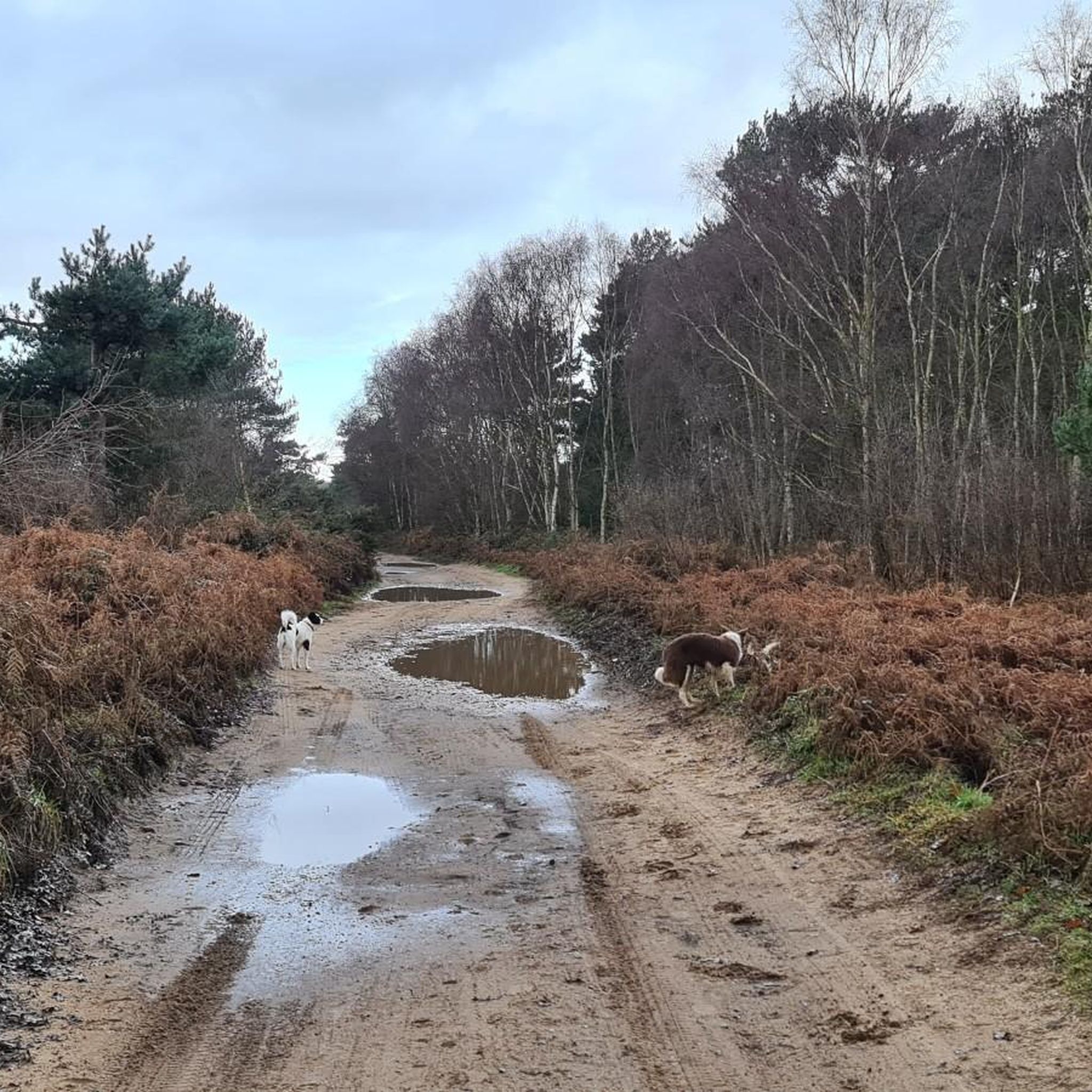
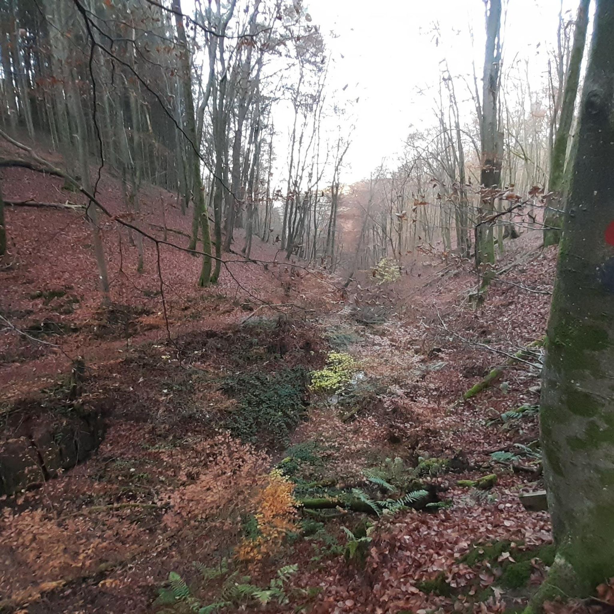

Tips from the Community


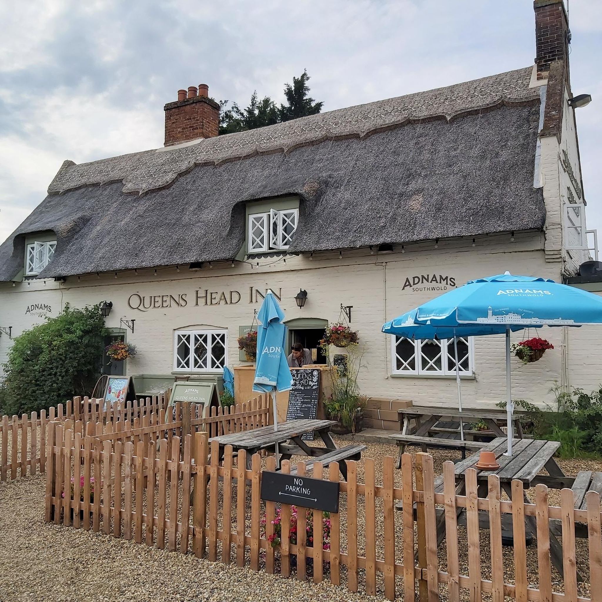
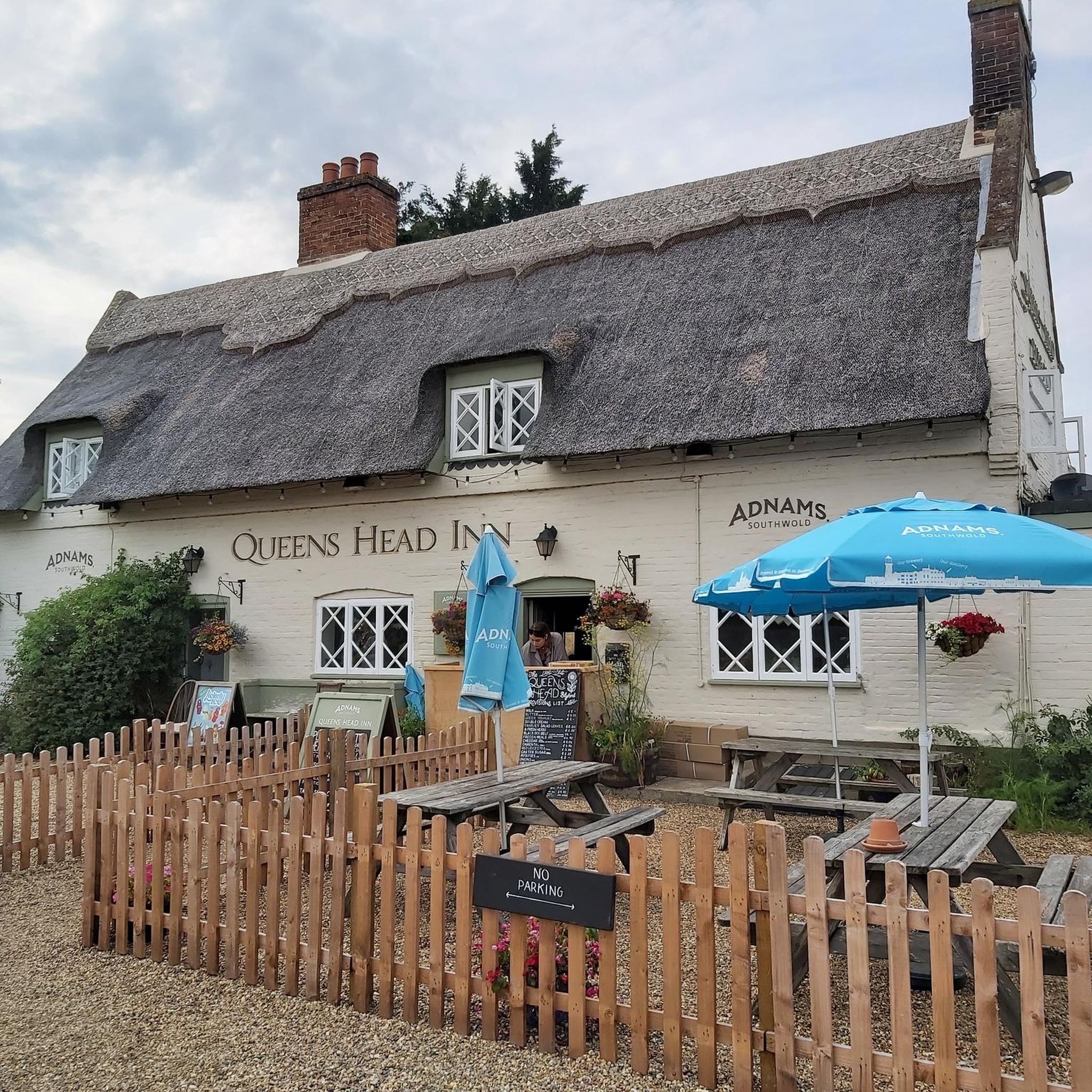
Great pub grub, there's a definite argument for it making the best fish and chips in the area
0
0

The front looks towards the harbour and moored cruisers but with a car park in-between. The best views are from the garden to the rear, which looks across the marshes towards Southwold rising beyond.
0
0
The Black Dog Deli near the top end of the main shopping street is a good option for a cafe stop, with plenty of space out front. Open 8am-4pm Mon-Sat.
1
0

Plenty of room behind the pub for bikes. Ghost Ship pale ale is available in an alcohol free option
0
0

Diversion but saves the cost of the ferry
0
0
A proper English country pub. Great food and a fine selection of Ales http://www.wenhastonstar.co.uk/
0
0
Frequently Asked Questions
Are there many circular walks starting from Blyford?
Yes, the area is well-suited for circular hikes. Many routes loop through the countryside, often following the River Blyth before returning. A good example of a shorter loop is the Hiking loop from Blythburgh, which offers a pleasant walk through the valley.
Can I take my dog on the hiking trails around Blyford?
Most trails in the Blyford area are dog-friendly, but it's important to be mindful of the local environment. You'll be walking through the Suffolk & Essex Coast & Heaths National Landscape, which is home to ground-nesting birds and grazing livestock. Please keep your dog on a lead, especially during nesting season (spring and early summer) and when near farm animals.
Are there any easy, family-friendly hikes in the area?
Definitely. The terrain around Blyford is generally flat and low-lying, making it great for families. There are over 100 easy-rated walks to choose from. For a straightforward and enjoyable outing, consider the Hiking loop from Bramfield, which explores the gentle countryside nearby.
What kind of wildlife might I see while hiking near the River Blyth?
The River Blyth estuary and surrounding marshes are a haven for birdwatchers. The mudflats are an important wetland site where you can spot species like avocets, marsh harriers, and ringed plovers. Keep an eye out for the bird hide along the river loop for a dedicated observation point.
Are there any pubs on the walking routes near Blyford?
Yes, several walks can be planned to include a stop at a traditional pub. The village of Blythburgh, a common starting point for many hikes, has pubs that are popular with walkers. You can easily combine a riverside walk with a refreshing break.
What is the terrain like for hiking around Blyford?
The landscape is defined by gentle, low-lying terrain. Hikes typically follow well-maintained footpaths across flat marshes, heathlands, and through sections of ancient woodland. You can expect expansive views across the Blyth estuary with very little strenuous climbing.
Where is the best place to park for a hike?
Many popular walks begin in or near the village of Blythburgh, where you can find dedicated car parks, such as the one near the Holy Trinity Church. This provides convenient access to several trails that explore the Blyth estuary and surrounding heathland.
Can I walk from Blyford to the coast?
Yes, there are several routes that connect the Blyford area to the Suffolk coast. A popular option is the trail to the charming coastal town of Southwold. These paths often follow parts of the former Southwold Railway line, taking you through heath and woodland with great views of the estuary.
What do other hikers think of the trails around Blyford?
The hiking routes in this region are highly regarded by the komoot community. With an average rating of 4.7 stars, reviewers frequently praise the serene riverside paths, the abundant birdlife in the estuary, and the easy-to-follow, well-maintained trails.
Are there any longer, more challenging hikes available?
While most local routes are easy, there are options for those seeking a longer day out. The Bailey Bridge – Walberswick Village Green loop from Blythburgh is a moderate hike of over 8 miles that takes you towards the coast. For a true long-distance challenge, you can also connect with the Suffolk Coast Path.
What is the story of Black Shuck and Holy Trinity Church?
Local folklore tells of the Black Shuck, a ghostly black dog said to have burst into Blythburgh's Holy Trinity Church during a storm in 1577. Legend says it left scorch marks on the north door, which can still be seen today. The church, known as the "Cathedral of the Marshes," is a fascinating historical landmark to visit on many local walks.
How many hiking trails are there to choose from around Blyford?
There is a wide variety of options, with nearly 200 designated hiking routes in the area. The majority of these are rated as easy, making the region accessible for all fitness levels, but there are also plenty of moderate trails for those looking for a slightly longer walk.
Most popular attractions around Blyford

Get inspired with the komoot mobile app


Explore more
Browse the best Hikes in other regions.
