The best walks and hikes around Lisnafiffy
3.8
(6)
113
hikers
6
hikes
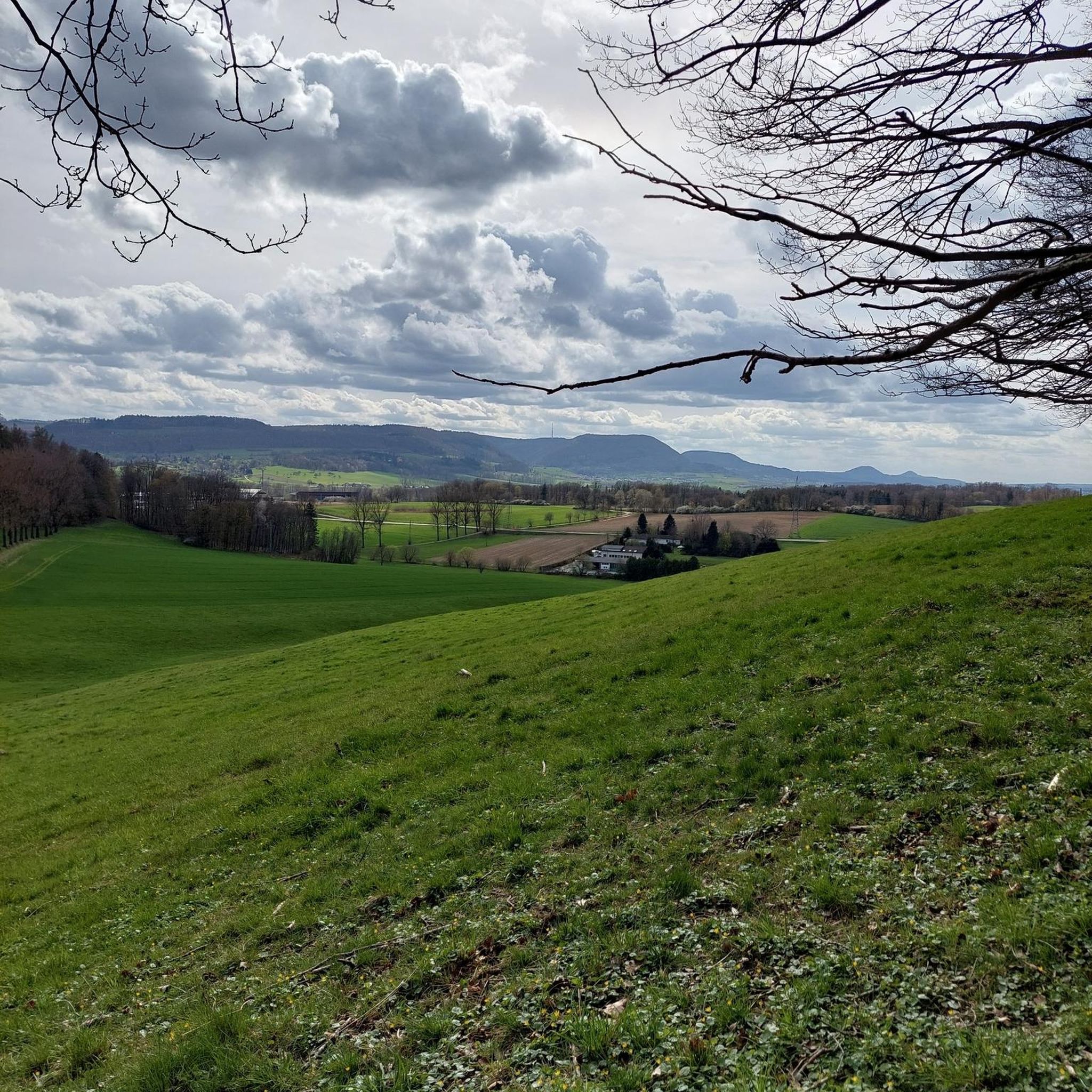
Hiking around Lisnafiffy, located in County Down, Northern Ireland, offers access to a variety of landscapes suitable for outdoor activities. The region is characterized by gentle hills, historical waterways like the Newry Canal, and rural paths. While Lisnafiffy itself is a smaller locality, its proximity to areas such as Scarva Village and the lower slopes of Slieve Croob provides diverse hiking opportunities. The terrain primarily consists of accessible paths through agricultural land and along canals, with some moderate ascents on…
Last updated: July 25, 2026
4.3
(3)
25
hikers
4.08km
01:07
60m
60m
Easy hike. Great for any fitness level. Easily-accessible paths. Suitable for all skill levels.
3.0
(2)
6
hikers
Moderate hike. Good fitness required. Easily-accessible paths. Suitable for all skill levels.

Sign up for free
7
hikers
5.68km
01:26
10m
10m
Easy hike. Great for any fitness level. Easily-accessible paths. Suitable for all skill levels.
6
hikers
18.2km
04:35
20m
20m
Moderate hike. Good fitness required. Easily-accessible paths. Suitable for all skill levels.
2
hikers
4.89km
01:19
60m
60m
Easy hike. Great for any fitness level. Easily-accessible paths. Suitable for all skill levels.
Our route recommendations are based on thousands of hikes, rides, and runs completed by other people on komoot.
Start today with a free account
Your next adventure awaits.
Login or Signup



Tips from the Community

Small coffeeshop right by the river Bann, directly next to Sustrans Route 9 / Newry Canal Towpath. The cafe is practically on the roadside, making it a logical stop for cyclists following the canal path. The old brick building has a relaxed atmosphere; inside and out it's a place where cyclists and walkers cross paths. Ideal for a coffee, a small snack and a short break before you cycle back into the canal landscape towards Craigavon Lakes. Enjoyed the stop, but forgot the photo.
7
0
Along the picturesque route near the River Bann, you'll find the Moyallan Pillbox. Built around 1940 as part of Britain's coastal and inland defences, this compact bunker served as an observation post and machine gun nest. Strategically positioned to guard the river crossing and nearby roads, this robust structure is a reminder of a time when this peaceful landscape was on high alert. For the passing cyclist, it's an intriguing stop; its moss-green walls blend almost seamlessly with the surrounding nature, revealing the bunker's secrets only at the last moment. A raw piece of military heritage that sharply contrasts with the tranquility of the present-day countryside.
6
0

Hollie Berrie is a good place for refreshments on the route at Scarva
0
1

The small town of Scarva, nestled between green meadows and the quiet canal, offers a welcome break on my bike tour through Northern Ireland. Here you cycle on well-maintained paths past historic bridges and small villages that give you the feeling that time has stood still. The British flags fluttering along the side of the road remind you that you are in a culturally special area - a detail that reflects the identity of the region. The route is easy to cycle, the surrounding landscape is gently rolling, which makes for pleasant cycling. The view of wide fields and rolling hills invites you to slow down now and then and take in the peace and quiet. A special feature of Scarva is the annual Orange Order March, which transforms the village into a kind of open-air stage once a year and keeps the traditions of this region alive.
1
0
Ground Espresso Bars Café is located right on the road, making it an ideal stop for cyclists travelling along the Newry Canal Towpath. Just a stone's throw from the River Bann, the small café offers a welcome place to take a quick breather. Here you can recharge your batteries with a cup of coffee or a small snack before continuing on. The atmosphere around the old, charming brick building is relaxed and inviting. Its proximity to the cycle path makes it a meeting point for cyclists and walkers alike. You can have a good conversation here or just watch the cyclists go by while sitting outside. Those who continue along the river soon find themselves in a rural landscape, accompanied by the Craigavon Lakes in the distance.
2
0
The Moyallan Pillbox is an intriguing WWII relic that is an unexpected discovery along the River Bann. The old concrete structure, well camouflaged and reclaimed by nature, stands modestly on a hill overlooking the river. The views from here are particularly rewarding on a clear day when the Bann flows lazily across the landscape. It's hard to imagine that this tranquil scene was once strategically important in protecting access to the north from possible invasions. The Pillbox stands just opposite a petrol station, near the roundabout where several roads meet. The location may seem unspectacular, but with a little imagination you can glimpse the history. The concrete block quietly tells of times gone by as you pedal on, leaving the river behind. A quick stop is well worth it - not for the drama, but for the unassuming way in which history finds its place here.
1
0
At the meeting point of the Upper Bann River and the Newry Canal stands this striking signpost - a simple yet interesting construction that shows you the way. It points to places like Scarva, Newry, Portadown and Oxford Island, while the water flows quietly, creating a peaceful atmosphere. It's a moment to pause and take in the surroundings. The flow of the river, the gentle murmur and the green of the banks invite you to leave the path for a while and enjoy the view. You notice that it's not just routes that are described here, but also the connections between the towns and nature - a little reminder that every walk is more than just the path you take.
2
0

Nestled away in the lovely Loughbrickland Forest lies a bronze age ringfort or rath. With its peaceful location surrounded by trees Coolnacran Fort has an almost mystical feel. In spring bluebells carpet the area, and you can explore the interior of the fort. The Forest also has designated walking routes throughout.
0
0
Frequently Asked Questions
How many hiking trails are available around Lisnafiffy?
There are 6 hiking trails available around Lisnafiffy, offering a variety of experiences from easy strolls to more moderate walks through the County Down landscape.
What types of terrain can I expect on hikes near Lisnafiffy?
The terrain around Lisnafiffy primarily features gentle hills, historical waterways like the Newry Canal, and rural paths. You'll find accessible routes through agricultural land and along canals, with some moderate ascents on local hills, particularly in the broader Banbridge area.
Are there any easy, family-friendly hiking routes in Lisnafiffy?
Yes, there are several easy routes suitable for families. For instance, the Coolnacran Ringfort loop from Loughbrickland is an easy 4.2 km trail that explores a historic ringfort. Another option is the Scarva Village – Scarva Pillbox loop from Scarva, a 4.9 km easy trail through the village and its surroundings.
Can I find circular walks around Lisnafiffy?
Yes, many of the trails around Lisnafiffy are designed as circular routes. Examples include the Coolnacran Ringfort loop from Loughbrickland and the Moyallan Pillbox – Ground Espresso Bars Café loop from Drumnacanvy, both offering convenient circular paths.
What interesting landmarks or attractions can I see while hiking in the area?
The region offers a mix of historical and natural points of interest. You can explore Scarva Village, known for its local walking routes, or discover the Moyallan Pillbox, a historical site. The Cusher River and Clare Glen Stone Bridges also offer scenic spots.
What do other hikers enjoy most about hiking in Lisnafiffy?
The hiking routes in Lisnafiffy are highly rated by the komoot community, with an average score of 3.8 stars. Hikers often praise the accessible paths, the blend of rural scenery with historical points of interest, and the overall peacefulness of the County Down landscape.
Are there any longer, more challenging hikes available?
While Lisnafiffy's immediate trails are generally easy to moderate, you can find longer routes. The Hiking loop from Scarva is a moderate 18.2 km trail, and the Moyallan Pillbox – Ground Espresso Bars Café loop from Drumnacanvy is a moderate 11.8 km path, both offering a more extended experience.
Is there public transport access to hiking trails near Lisnafiffy?
While Lisnafiffy itself is a smaller locality, the broader County Down region, including towns like Banbridge and Portadown, has public transport links. For specific trailheads, it's advisable to check local bus routes or consider driving, as many routes start from villages or rural parking areas.
What is the best time of year to hike around Lisnafiffy?
The region's gentle hills and rural paths are enjoyable throughout much of the year. Spring and summer offer pleasant weather for exploring the waterways and agricultural landscapes, while autumn brings scenic colors. Even in winter, many paths remain accessible, though conditions can be wetter.
Are there any cafes or pubs near the hiking routes for refreshments?
Yes, some routes incorporate or pass near places for refreshments. For example, the Moyallan Pillbox – Ground Espresso Bars Café loop from Drumnacanvy specifically mentions a café. Scarva Village also offers local amenities. For other trails, you might find options in nearby towns like Banbridge or Loughbrickland.
Where can I find parking for hikes in the Lisnafiffy area?
Parking is generally available at the starting points of many trails, particularly in villages like Scarva or near attractions. For specific routes, it's recommended to check the individual tour details on komoot for designated parking areas or suitable roadside spots.
Are there any trails that follow historical waterways?
Yes, the region is known for its historical waterways. You can find scenic walking opportunities along the Newry Canal, particularly near Moneypenny's Lock, which offers a blend of historical interest and accessible paths.
Most popular attractions around Lisnafiffy

Get inspired with the komoot mobile app


Explore more
Browse the best Hikes in other regions.
