The best cycling routes around Drumhorc
5.0
(6)
184
riders
34
rides
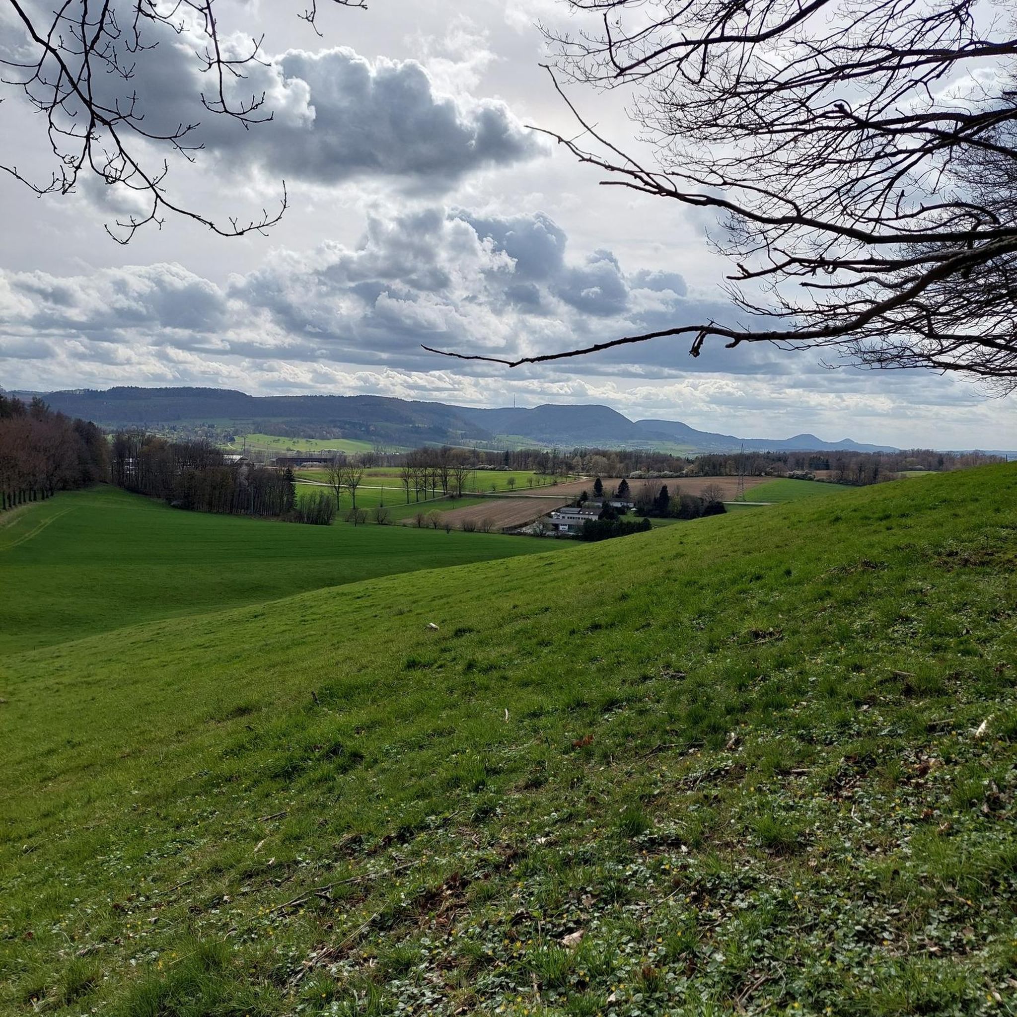
Touring cycling around Drumhorc offers a diverse landscape for exploration, characterized by river valleys, reservoirs, and historical demesnes. The region features a mix of terrain, from well-maintained roads around the Tassagh Viaduct in the Callan River Valley to paved and gravel trails within The Palace Demesne. Cyclists can also experience the gently rolling grassy hills of Navan Fort, providing a blend of natural beauty and historical significance. These varied conditions make Drumhorc a compelling destination for touring cyclists.
Best touring…
Last updated: October 28, 2026
76.8km
04:55
790m
790m
Hard bike ride. Very good fitness required. Mostly paved surfaces.
57.1km
03:36
620m
620m
Hard bike ride. Very good fitness required. Mostly paved surfaces.

49.2km
03:08
610m
610m
Hard bike ride. Very good fitness required. Mostly paved surfaces.
53.6km
03:16
450m
450m
Hard bike ride. Very good fitness required. Mostly paved surfaces.
5.0
(2)
66
riders
43.1km
02:33
210m
210m
Moderate bike ride. Good fitness required. Mostly paved surfaces.
Get access to more routes and recommendations from other explorers.
Already have an account?
Our route recommendations are based on thousands of hikes, rides, and runs completed by other people on komoot.
Start today with a free account
Your next adventure awaits.
Popular around Drumhorc


Tips from the Community


The Crack Bridge, also known as Fearon’s Bridge, is one of the most characteristic stone arch bridges over the Newry Canal. This historic structure is located on a beautiful, secluded section of the towpath between Poyntzpass and Jerrettspass. This robust, semi-circular arch bridge from the 18th century is built from locally quarried stone and forms an iconic image along the Newry Canal Towpath. The bridge was originally built to give local farmers and their livestock access to the farmlands on both sides of the canal without hindering navigation.
7
0
Between the rustling trees along the Newry Canal Towpath, you'll encounter the tranquil ruin of a lock keeper's cottage. Once, this was the proud and bustling heart of the waterway, where the lock keeper stood ready day and night to operate the heavy wooden canal gates for passing barges. Today, only the robust stone walls remain, slowly being reclaimed by nature.
6
0
Along the route of the historic Newry Canal, you'll find the Acton Lake Visitor Centre, beautifully situated on the banks of the tranquil Lough Shark. This lake, a remnant from the ice age, provides an idyllic setting for a short stop during your bike tour. The visitor centre not only offers a glimpse into the local flora and fauna – with numerous waterfowl and rare dragonflies – but also tells the story of the region's inland navigation history.
7
0
This largely flat and completely traffic-free path winds through the heart of counties Armagh and Down, along the tranquil waterway that once formed the lifeline for transporting coal to the Irish Sea. As you pedal over the well-maintained asphalt or fine gravel, you'll be surrounded by lush green embankments, historic stone bridges, and the monumental remains of eighteen locks that bridge the elevation difference in the landscape. A mix of smooth asphalt and easily rideable fine gravel, suitable for almost all types of bicycles.
7
0
Quiet canal section south of Poyntzpass, where the towpath runs tightly along the narrow water. The bank is lightly overgrown with low trees and hedges, giving the stretch an intimate, green impression. The water is mostly still, forming a straight line through the open agricultural landscape. An even, traffic-free segment ideal for quiet miles on the towpath.
5
0
The Newry Canal Towpath is a 32-kilometer-long, almost entirely traffic-free green corridor connecting the towns of Portadown and Newry. It follows the towpath of the oldest canal in the British Isles, opened in 1742 to transport coal from County Tyrone to the sea. The Newry Canal Towpath offers an unparalleled cycling experience through the tranquil heart of County Armagh and County Down. This historic route, part of the National Cycle Network Route 9, takes you along a flat and largely asphalted path past fourteen monumental locks and characteristic lock-keeper's cottages. As you follow the waterway, you'll traverse a varied landscape of dense forests and open meadows, passing through welcoming villages like Scarva and Poyntzpass along the way. The path is a haven for wildlife; keep an eye out for kingfishers, swans, and otters that inhabit the reed beds. Whether you cycle the full 32 kilometers or explore just a section, the combination of industrial history and natural beauty makes this one of the absolute gems of Irish cycling routes.
5
0
The entrance to Lisnamintry Rath (located on Ballygargan Road, near Portadown) is the gateway to one of the few officially protected archaeological monuments in this part of County Armagh. A rath is an early medieval fortified farmstead (c. 500–1000 AD) that formerly offered protection to families and their livestock against raiders. Not visible from the road.
1
0
Frequently Asked Questions
How many touring cycling routes are available in Drumhorc?
Drumhorc offers a good selection of touring cycling routes, with 37 different tours to explore. These routes cater to various skill levels, ensuring there's something for everyone.
What are the difficulty levels of touring cycling routes in Drumhorc?
The routes in Drumhorc range in difficulty. There are 4 easy routes, 20 moderate routes, and 13 difficult routes. This variety allows cyclists to choose a tour that matches their experience and fitness level.
Are there any circular touring cycling routes in Drumhorc?
Yes, many of the touring cycling routes in Drumhorc are designed as loops, offering a convenient way to start and finish in the same location. For example, you could try the Scarva to Castlewellan Forest Park loop, which is a challenging 76.8 km ride, or the Banbridge to Craigavon Lakes loop for another substantial option.
What kind of landscapes and natural features can I expect to see while touring cycling in Drumhorc?
Drumhorc's touring cycling routes showcase diverse landscapes. You'll encounter the scenic Callan River Valley, ride across the dam wall of the Seagahan Reservoir with its expansive views, and explore the historic grounds of The Palace Demesne. The region offers a mix of river valleys, reservoirs, and historic parklands.
Are there historical sites or landmarks to explore along the touring cycling routes?
Absolutely. Drumhorc is rich in history. You can cycle past the impressive Tassagh Viaduct in the Callan River Valley, which is a silent witness to bygone railway times. The area also features ancient sites like Navan Fort (Emain Macha), where you can gently roll over grassy hills steeped in Irish mythology. Additionally, you might pass by Scarva Village or the Moyallan Pillbox, offering glimpses into the region's past.
What is the best time of year to go touring cycling in Drumhorc?
While specific seasonal data isn't provided, the varied terrain and natural beauty of Drumhorc suggest that spring and autumn would offer pleasant cycling conditions with milder temperatures and beautiful scenery. Summer is also suitable, though it might be busier. Always check local weather forecasts before heading out.
Where can I find parking for touring cycling routes in Drumhorc?
Specific parking locations for each route are not detailed here, but generally, starting points for routes like those near Scarva or Banbridge often have designated parking areas. For routes passing through places like The Palace Demesne, parking facilities are typically available. It's advisable to check the specific route details on komoot for parking information near your chosen starting point.
Is public transport available to access touring cycling routes in Drumhorc?
Public transport options to access specific touring cycling routes in Drumhorc can vary. While some larger towns like Banbridge or Newry, which are starting points for routes such as the Scarva to Newry loop, may have bus or train connections, it's best to research public transport links to your chosen route's starting point beforehand, especially if you plan to bring your bike.
What do other cyclists say about touring cycling in Drumhorc?
The touring cycling experience in Drumhorc is highly regarded by the komoot community, with an impressive average rating of 5.0 stars from over 7 reviews. Cyclists often praise the diverse terrain, from well-maintained roads to scenic trails, and the blend of natural beauty with historical sites like the Tassagh Viaduct and Navan Fort.
Are there any touring cycling routes suitable for beginners in Drumhorc?
Yes, Drumhorc offers 4 easy touring cycling routes, which are ideal for beginners or those looking for a more relaxed ride. Additionally, there are 20 moderate routes that provide a good balance for cyclists with some experience. The Newry Canal Path – Newry Canal Towpath loop from Loughbrickland is a moderate option that follows a canal path, often providing a gentler gradient.
Can I find places to eat or drink along the touring cycling routes in Drumhorc?
While specific cafes and pubs along every route are not listed, many touring cycling routes in Drumhorc pass through or near villages and towns. For example, routes starting or ending in places like Scarva or Banbridge will likely offer opportunities for refreshments. It's a good idea to check the route map on komoot for points of interest or towns along your chosen path to plan your stops.
Are there any specific viewpoints or scenic spots on the touring cycling routes?
Yes, Drumhorc's routes offer several scenic spots. The Tassagh Viaduct itself provides impressive views, and cycling across the Seagahan Reservoir dam wall offers expansive vistas across County Armagh. You can also find viewpoints like the Directional Sign at the Confluence of the Upper Bann River and Newry Canal, which offers a unique perspective on the waterways.
Most popular routes around Drumhorc
Most popular attractions around Drumhorc

Get inspired with the komoot mobile app


Explore more
Browse the best Cycling routes in other regions.
