The best road cycling routes around Moygannon
4.4
(111)
2,224
riders
242
rides
Road cycling around Moygannon offers diverse terrain, from coastal routes along Carlingford Lough to challenging climbs in the Mourne Mountains. The region features a mix of flat greenways, winding country roads, and significant elevation changes, particularly towards the Cooley Peninsula and Slieve Foye. This landscape provides varied gradients suitable for different cycling abilities, set against a backdrop of water and mountain views.
Best road cycling routes around Moygannon
- The most popular road cycling route is Derrytrasna Loop, a 23.7…
Last updated: May 24, 2026
5.0
(1)
10
riders
38.2km
01:34
150m
150m
Easy road ride. Great for any fitness level. Mostly well-paved surfaces and easy to ride.
43
riders
81.6km
03:29
650m
650m
Moderate road ride. Good fitness required. Mostly well-paved surfaces and easy to ride.

Sign up for free
39
riders
49.6km
02:09
360m
360m
Moderate road ride. Good fitness required. Mostly well-paved surfaces and easy to ride.
24
riders
32.3km
01:26
270m
270m
Easy road ride. Great for any fitness level. Mostly well-paved surfaces and easy to ride.
23
riders
48.1km
02:10
430m
430m
Moderate road ride. Good fitness required. Mostly well-paved surfaces and easy to ride.
Get access to more routes and recommendations from other explorers.
Sign up for free
Already have an account?
Our route recommendations are based on thousands of hikes, rides, and runs completed by other people on komoot.
Start today with a free account
Your next adventure awaits.
Login or Signup
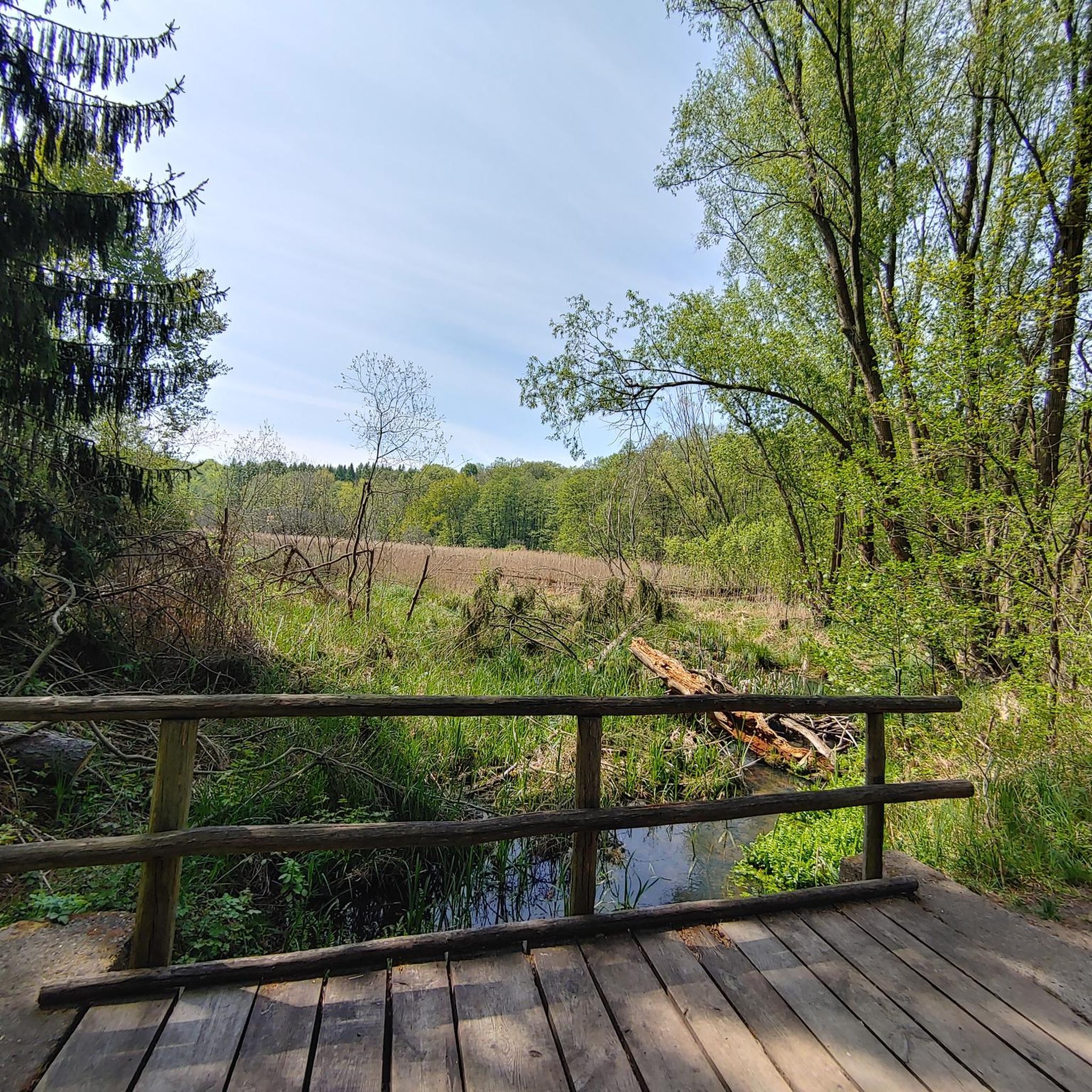
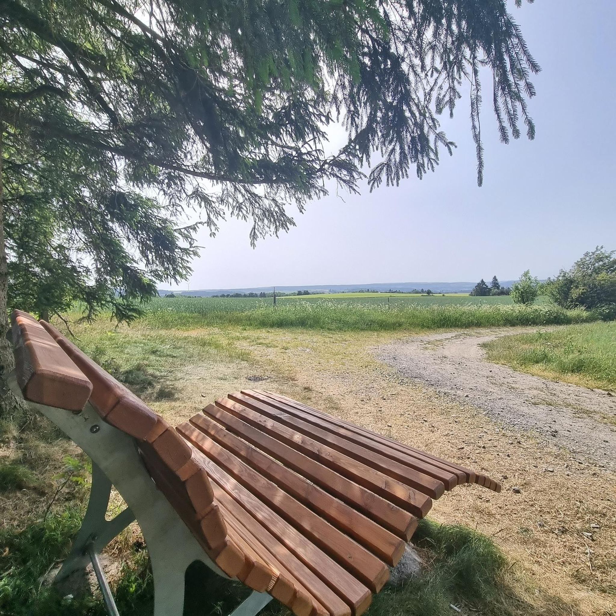

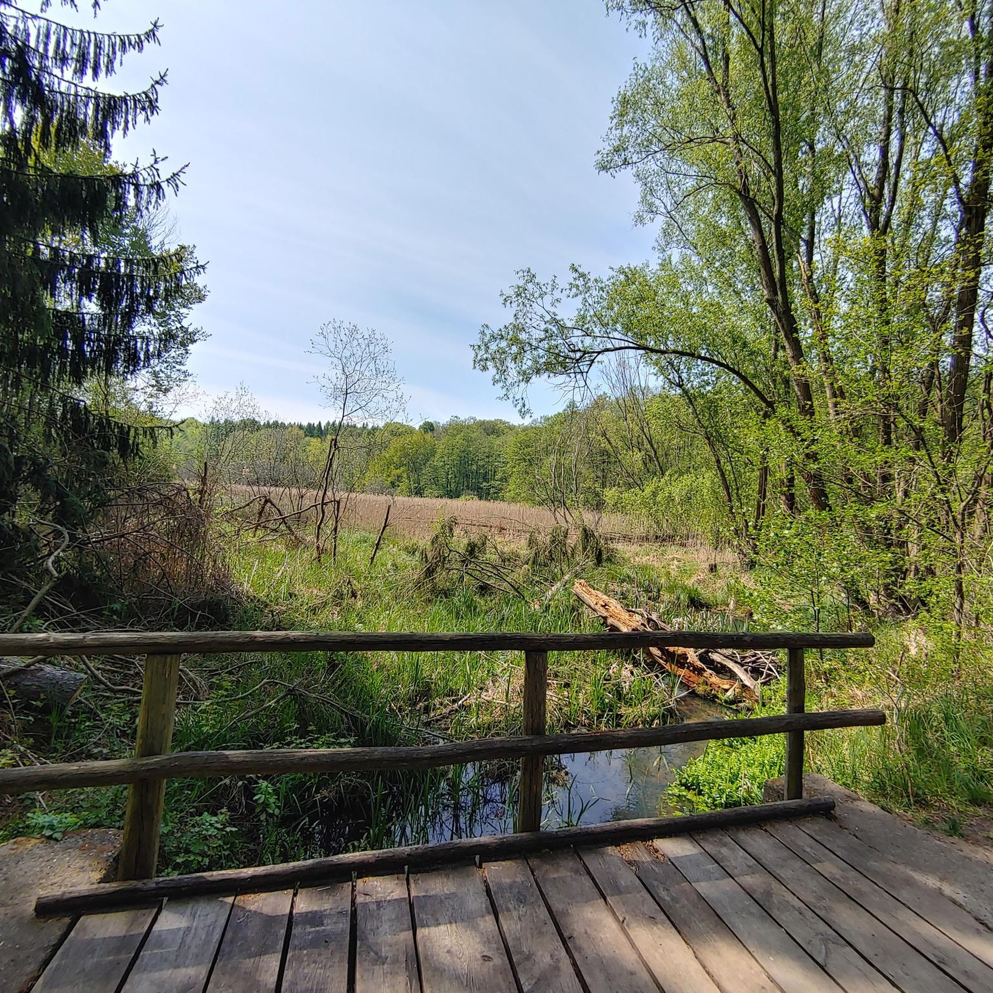
Tips from the Community

Nice little cafe in the village of Scarva right alongside the Newry canal towpath, great for brekkie, lunch or just topping up the hydration.
0
0

Hollie Berrie is a good place for refreshments on the route at Scarva
0
1

The Newry Canal Path offers exactly what many cyclists want on a tour: a relaxed route that runs through green landscapes and is shielded from any city traffic for almost 25 km. The path is smooth and well maintained throughout, which makes it ideal for longer stretches without a break - you can really rack up the miles here and enjoy the peace and quiet of nature at the same time. A highlight is that the canal path is not only easy to ride, but also allows some charming glimpses of the surrounding area. The trees form a green roof over the path in places, and the silence is only occasionally interrupted by the rippling of the water or a passing bird. Here you have the feeling that with every meter you get further away from the noise of the city and instead find a little more nature. A good alternative for commuters and recreational cyclists alike to get to your destination stress-free or just switch off and let yourself drift.
1
0
The small town of Scarva, nestled between green meadows and the quiet canal, offers a welcome break on my bike tour through Northern Ireland. Here you cycle on well-maintained paths past historic bridges and small villages that give you the feeling that time has stood still. The British flags fluttering along the side of the road remind you that you are in a culturally special area - a detail that reflects the identity of the region. The route is easy to cycle, the surrounding landscape is gently rolling, which makes for pleasant cycling. The view of wide fields and rolling hills invites you to slow down now and then and take in the peace and quiet. A special feature of Scarva is the annual Orange Order March, which transforms the village into a kind of open-air stage once a year and keeps the traditions of this region alive.
1
0

The perfect meeting spot to start any run in this area. From this point you can head either into Rostrevor village, out towards Killowen, into Kilbroney park or head north alongside the river.
1
0

Scarva (from Irish: Scarbhach meaning "shallow place, rough ford" is a small village in the parish of Aghaderg, County Down, Scarva is known as the location of the "Sham Fight" Pageant on 13 July every year. The Pageant attracts thousands of members of the Royal Black Preceptory, who come to act out a symbolic dramatised re-enactment of the Battle of the Boyne.
2
0


Village on the Newry cycle path. There is also a Scarva pilbox - one of many left over from the 2nd World War. Worth seeking out if you've got the time.
3
0
Frequently Asked Questions
How many road cycling routes are available around Moygannon?
Moygannon offers a wide selection of road cycling routes, with over 260 options available. These routes cater to various skill levels, including 81 easy, 168 moderate, and 15 difficult trails.
What kind of terrain can I expect on road cycling routes near Moygannon?
The region around Moygannon provides diverse terrain for road cyclists. You can find relatively flat routes along the picturesque Carlingford Lough, such as sections of the Carlingford Lough Greenway. For more challenging rides, the majestic Mourne Mountains and the Cooley Peninsula offer significant elevation changes, rewarding climbs, and exhilarating descents with panoramic views.
Are there easy road cycling routes suitable for beginners or a relaxed ride?
Yes, Moygannon has numerous easy road cycling routes perfect for beginners or those seeking a relaxed ride. One such option is the Derrytrasna Loop, which is 38.2 km long with gentle gradients, offering scenic countryside views. Another accessible option is the Roadbike loop from Banbridge, a 32.3 km route with moderate elevation.
What are some challenging road cycling routes for experienced riders?
For experienced riders seeking a challenge, the area around Moygannon delivers. Routes that venture into the Mourne Mountains or across the Cooley Peninsula, like the Climb by Rostrevor Forest – Warrenpoint Shore Road loop from Banbridge, offer significant elevation gains and demanding climbs. This particular route covers 81.4 km and includes substantial ascents through forest areas and along the lough shore.
What do other road cyclists enjoy most about cycling in Moygannon?
The road cycling experience around Moygannon is highly rated by the komoot community, with an average score of 4.4 stars from over 100 reviews. Cyclists often praise the region's varied terrain, from coastal paths to mountain ascents, and the stunning backdrop of the Mourne Mountains and Carlingford Lough.
Are there any family-friendly road cycling options around Moygannon?
While dedicated family-friendly road cycling routes are not explicitly listed, the region's easier routes with gentle gradients, such as the Derrytrasna Loop, can be suitable for families. The Carlingford Lough Greenway, a shared pedestrian and cycleway, also offers a relatively flat and accessible option with beautiful views, ideal for various cycling abilities.
What landmarks or viewpoints can I see along the road cycling routes?
Road cycling routes around Moygannon offer access to several interesting landmarks and viewpoints. You might encounter historical sites like the Moyallan Pillbox or the Moneypenny's Lock and Canal Museum. For scenic vistas, look out for the Directional Sign at the Confluence of the Upper Bann River and Newry Canal, or enjoy views over Carlingford Lough from locations like Kilbroney Park, which also hosts the famous Cloughmore Stone.
Are there any circular road cycling routes near Moygannon?
Yes, many of the road cycling routes around Moygannon are designed as loops, allowing you to start and finish at the same point. Examples include the Derrytrasna Loop, the Scarva Village – Lottie's Café loop from Gamblestown, and the Scarva Village – Newry Canal Path loop from Banbridge, providing convenient options for your ride.
What is the best time of year for road cycling in Moygannon?
The best time for road cycling in Moygannon generally aligns with milder weather conditions, typically from spring through autumn. During these seasons, you can expect more pleasant temperatures and less chance of adverse weather, making for more enjoyable rides along the lough and through the mountains. Always check local forecasts before heading out.
Can I find cafes or places to stop along the road cycling routes?
Yes, several routes pass through or near charming villages and towns where you can find cafes and pubs. For instance, the Scarva Village – Lottie's Café loop from Gamblestown explicitly mentions a café. Kilbroney Park, near Rostrevor, also offers a café and commanding views, making it an excellent spot for a break during a road ride.
Are there any specific greenways or dedicated cycle paths for road cyclists?
While many routes are on country roads, the Carlingford Lough Greenway is a notable shared pedestrian and cycleway in the region. It follows a former railway line, offering a relatively flat and accessible option with breathtaking views of the water and surrounding mountains. For more information on this specific greenway, you can visit visitmournegullionstrangford.com.
Most popular routes around Moygannon
Most popular attractions around Moygannon

Get inspired with the komoot mobile app


Explore more
Browse the best Road cycling routes in other regions.
