The best cycling routes around Ballydrumman
4.3
(6)
440
riders
28
rides
Touring cycling routes around Ballydrumman are situated in County Down, Northern Ireland, offering access to diverse landscapes. The region features rolling hills, including Slieve Croob (534m) in the Dromara Hills, and is in proximity to the Mourne Mountains. Cyclists can explore areas with scenic ascents, picturesque vistas, and natural features like Loughinisland Lake. The terrain combines varied elevations with forest paths and open country roads.
Best touring cycling routes around Ballydrumman
- The most popular touring cycling route is Castlewellan Lake…
Last updated: October 29, 2026
43.5km
02:38
370m
370m
Moderate bike ride. Good fitness required. Mostly paved surfaces.
5.0
(1)
287
riders
15.7km
01:31
240m
240m
Moderate bike ride. Good fitness required. Mostly paved surfaces.

37
riders
32.1km
02:40
500m
500m
Hard bike ride. Very good fitness required. Mostly paved surfaces.
15
riders
60.4km
03:50
710m
710m
Hard bike ride. Very good fitness required. Mostly paved surfaces.
4.0
(1)
7
riders
62.1km
04:00
780m
780m
Hard bike ride. Very good fitness required. Mostly paved surfaces.
Get access to more routes and recommendations from other explorers.
Already have an account?
Our route recommendations are based on thousands of hikes, rides, and runs completed by other people on komoot.
Start today with a free account
Your next adventure awaits.
Tips from the Community

This historic 12th century building is a typical example of an Anglo-Norman motte with a kidney-shaped bailey. The 7.6m high mound, which once housed a wooden tower, was later replaced by a stone tower house, the ruins of which can still be seen today. Access is via Clough's main road; there is a small car park, but it is not always well signposted. Access is usually permitted. The surrounding countryside, with views of the Mourne Mountains, offers a tranquil atmosphere that invites you to linger.
1
0
This historic 10th century tower stands in idyllic countryside and offers a fascinating insight into Ireland's early Christian history. Access is via narrow country lanes; there is a small car park but it is not always well signposted. The tower is on private farmland but access is usually permitted.
1
0
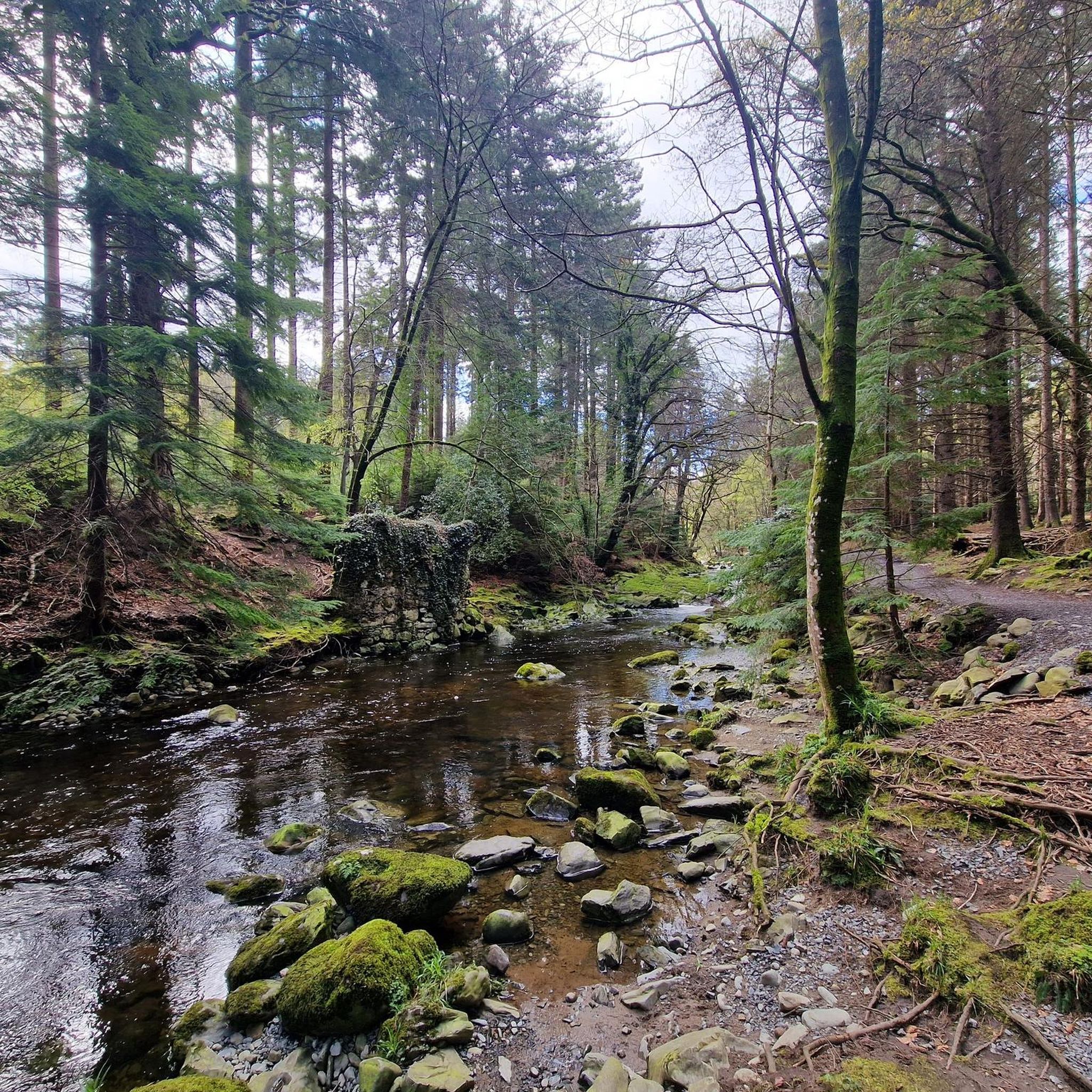
This forest of around five hectares consists of a mixture of scrubland, Douglas fir and spruce. The well-maintained paths lead you through dense forest and offer striking views of the surrounding countryside, including the villages of Attical and Slieemageogh. However, some sections are slippery in wet weather, so care must be taken. A particular highlight is the proximity to Banns Road, a historic path that takes you further into the Mourne Mountains.
1
0
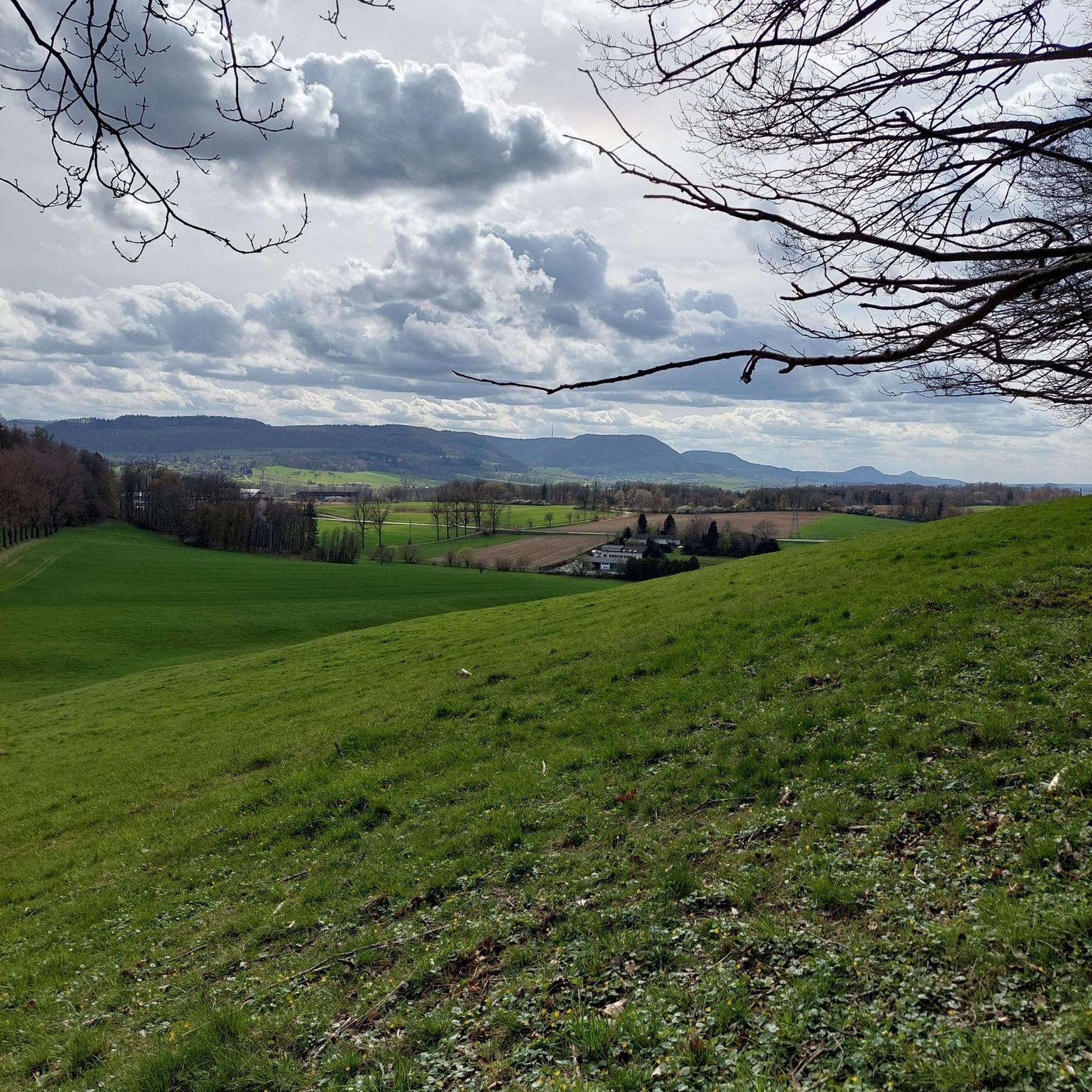
The gently ascending road winds through a wide, open landscape, surrounded by grassy hills and breathtaking silence. Only the wind and the quiet hum of the tires accompany you here as your gaze wanders into the distance. The climb may be challenging, but the view that opens up with every meter of altitude is worth the effort. Once at the top, you feel free and rewarded, as if you have conquered a piece of nature and then the reward comes with the descent.
0
0
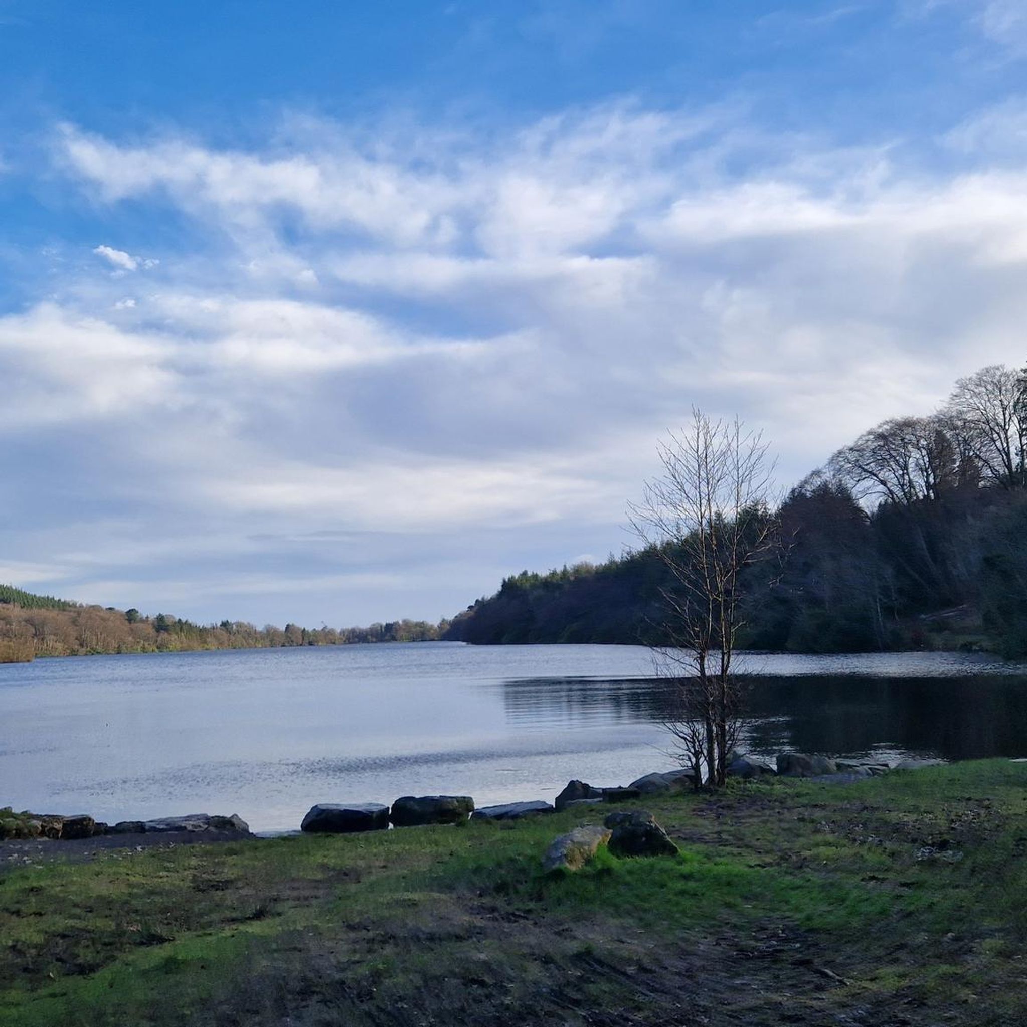
The route winds gently uphill, offering small clearings through which you can catch a glimpse of the valley and the sparkling water in the distance. The air here is wonderfully fresh and filled with the surrounding forests. During the climb you can feel the peace of the forest, accompanied only by the hum of the tires on the asphalt and the chirping of the birds. Once you reach the top, you are rewarded with a magnificent panorama.
0
0
Suddenly this ancient monolith rises before you, a silent witness to times gone by and myths. It stands alone on the green meadow, surrounded by a peaceful, almost mysterious silence.
1
0
The sea stretches out wide and sparkling, and the light smell of salt in the air gives you a feeling of freedom. The waves break gently on the rocks, and the view of the endless blue is hypnotic.
1
0
The small, historic port provides a charming setting with views of the Mourne Mountains and the sea. The promenade is well maintained and is great for a relaxing cruise along the coast. However, it can get quite busy in good weather and at weekends, which can slow down the journey. A highlight is the proximity to Murlough National Nature Reserve, which is just a few kilometers away and is ideal for further exploration. Note, however, that some sections of the promenade can be slippery when wet, so care must be taken.
1
0
Frequently Asked Questions
How many touring cycling routes are available around Ballydrumman?
There are over 30 touring cycling routes around Ballydrumman, offering a variety of experiences for different skill levels. These routes are highly rated by the komoot community, with an average score of 4.3 stars from over 6 reviews.
What is the general terrain like for touring cyclists in Ballydrumman?
The terrain around Ballydrumman is characterized by rolling hills, forest paths, and open country roads. You'll encounter varied elevations, including ascents towards areas like Slieve Croob in the Dromara Hills, and enjoy picturesque vistas with views towards the majestic Mourne Mountains.
Are there easy touring cycling routes suitable for beginners or families?
Yes, there are 7 easy touring cycling routes around Ballydrumman. An excellent option for an easy ride is the View of Castlewellan Castle – Abandoned Ice House loop from Leitrim, which is 4.5 miles (7.2 km) long and offers views of Castlewellan Castle and an abandoned ice house.
Are there more challenging touring cycling routes for experienced riders?
Absolutely. For experienced riders seeking a challenge, there are 13 difficult routes. A notable option is the View of Castlewellan Castle loop from Castlewellan, a substantial 64.7 miles (104.1 km) route with significant elevation gain, offering a full day's adventure.
What natural landmarks can I see while cycling near Ballydrumman?
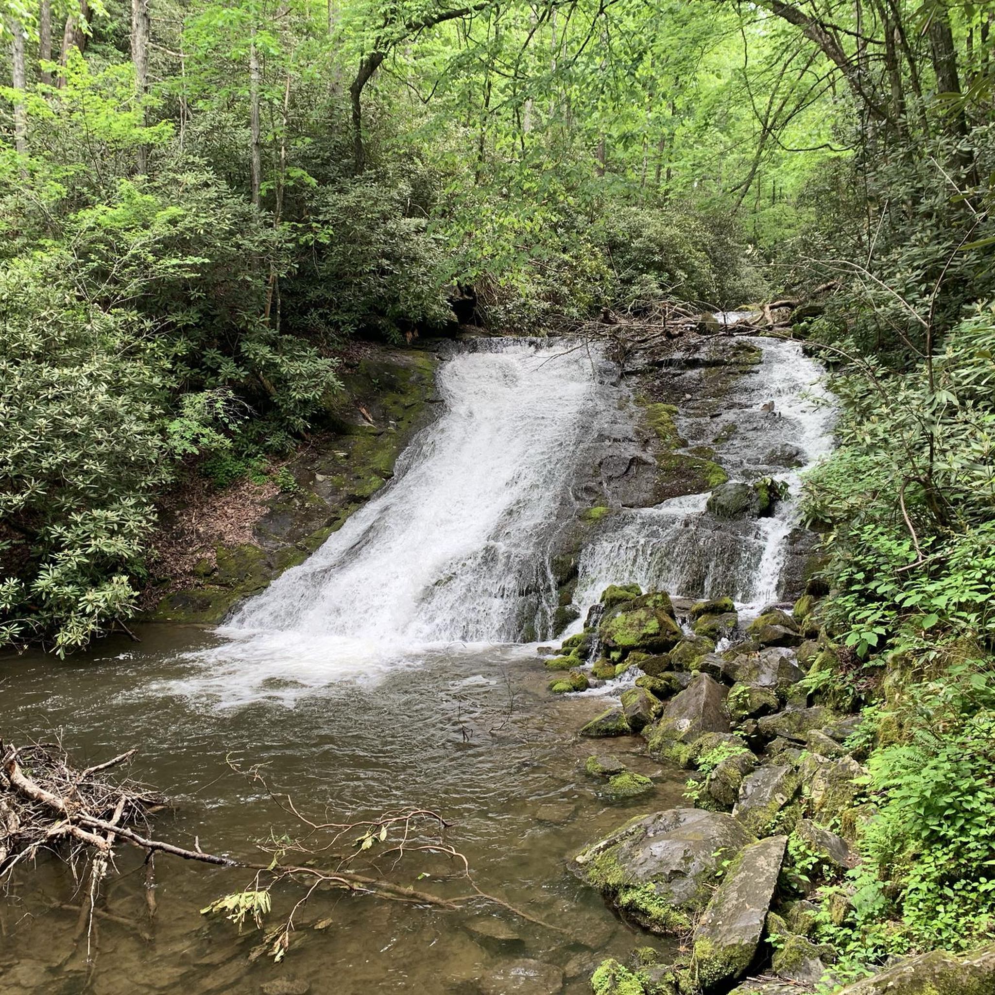
While cycling, you can explore several natural landmarks. The Slieve Croob Summit offers expansive views, and you might encounter the Shimna River Waterfall. The region also features Loughinisland Lake and the ancient Annadorn Dolmen, adding historical interest to the natural beauty.
Are there any interesting attractions or places to explore along the routes?
Beyond natural beauty, the area offers unique attractions. You can visit the Castlewellan Peace Maze, or explore Tollymore Forest Park, which is also a known Game of Thrones Filming Location. Seaforde Gardens and Tropical Butterfly House are also nearby, offering a pleasant stop.
Are there circular touring cycling routes available?
Yes, many of the touring cycling routes around Ballydrumman are designed as loops. For example, the popular Castlewellan Peace Maze – View of Castlewellan Castle loop from Castlewellan is a 9.9 miles (15.9 km) circular route, and the Castlewellan Peace Maze loop from Castlewellan is another great option.
What is the best time of year to go touring cycling in Ballydrumman?
The region around Ballydrumman is generally pleasant for cycling from spring through autumn. These seasons offer milder weather and lush landscapes. However, always check local weather forecasts before heading out, as conditions can change.
Can I find routes with views of the Mourne Mountains?
Yes, many routes offer stunning views of the Mourne Mountains. The View of Mourne AONB – Castlewellan Lake loop from Dollys Brae Car Park is an easy 4.5 miles (7.3 km) route specifically designed to showcase the beauty of the Mourne Area of Outstanding Natural Beauty.
Are there any specific cycling parks or dedicated trails in the area?
Castlewellan Forest Park is a significant hub for outdoor activities, including cycling, and is part of a wider network of forests in Northern Ireland with dedicated cycling paths. You can find more information about cycling in forests at nidirect.gov.uk.
Where can I find more information about cycling tours in the broader Mourne Gullion Strangford region?
For more extensive cycling opportunities and tours within the wider Mourne Gullion Strangford region, you can visit visitmournegullionstrangford.com. This area is known for its relatively low road traffic, making it suitable for various levels of cyclists.
Most popular attractions around Ballydrumman

Get inspired with the komoot mobile app


Explore more
Browse the best Cycling routes in other regions.
