The best cycling routes around Ballyroney
4.5
(2)
38
riders
9
rides
Touring cycling around Ballyroney offers routes through the scenic Banbridge region of Northern Ireland, characterized by undulating terrain and quiet country roads. The area provides access to the dramatic landscapes of the Mourne Mountains, an Area of Outstanding Natural Beauty, and features shaped by glacial activity, including hills and valleys. Cyclists can explore lush green countryside, with routes often traversing serene lanes away from heavy traffic.
Best touring cycling routes around Ballyroney
- The most popular touring cycling route is View…
Last updated: October 29, 2026
6
riders
49.5km
02:57
340m
340m
Moderate bike ride. Good fitness required. Mostly paved surfaces.
4.0
(1)
4
riders
34.8km
02:29
410m
410m
Moderate bike ride. Good fitness required. Mostly paved surfaces.

3
riders
26.6km
01:36
210m
210m
Moderate bike ride. Good fitness required. Mostly paved surfaces.
5.0
(1)
5
riders
Easy bike ride. Mostly paved surfaces.
3
riders
63.2km
03:44
420m
420m
Moderate bike ride. Good fitness required. Mostly paved surfaces.
Get access to more routes and recommendations from other explorers.
Already have an account?
Our route recommendations are based on thousands of hikes, rides, and runs completed by other people on komoot.
Start today with a free account
Your next adventure awaits.

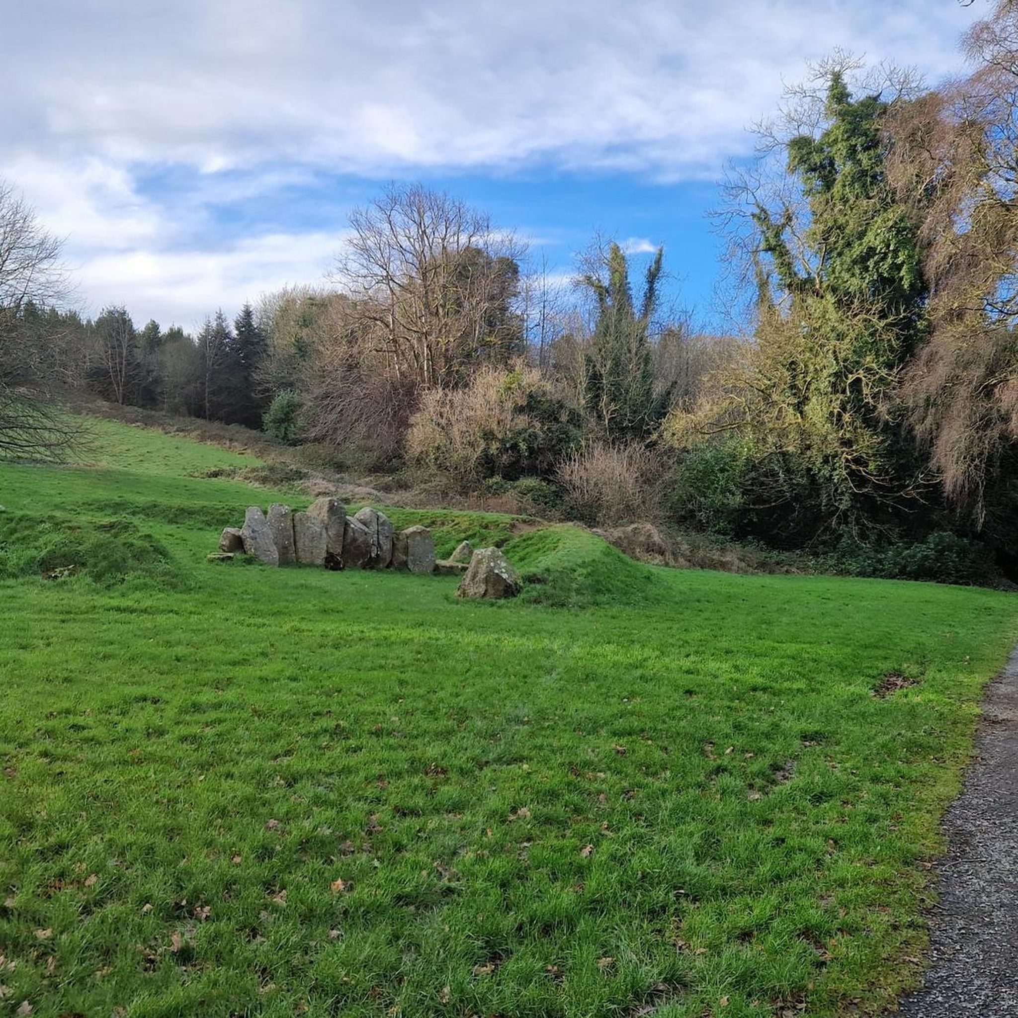

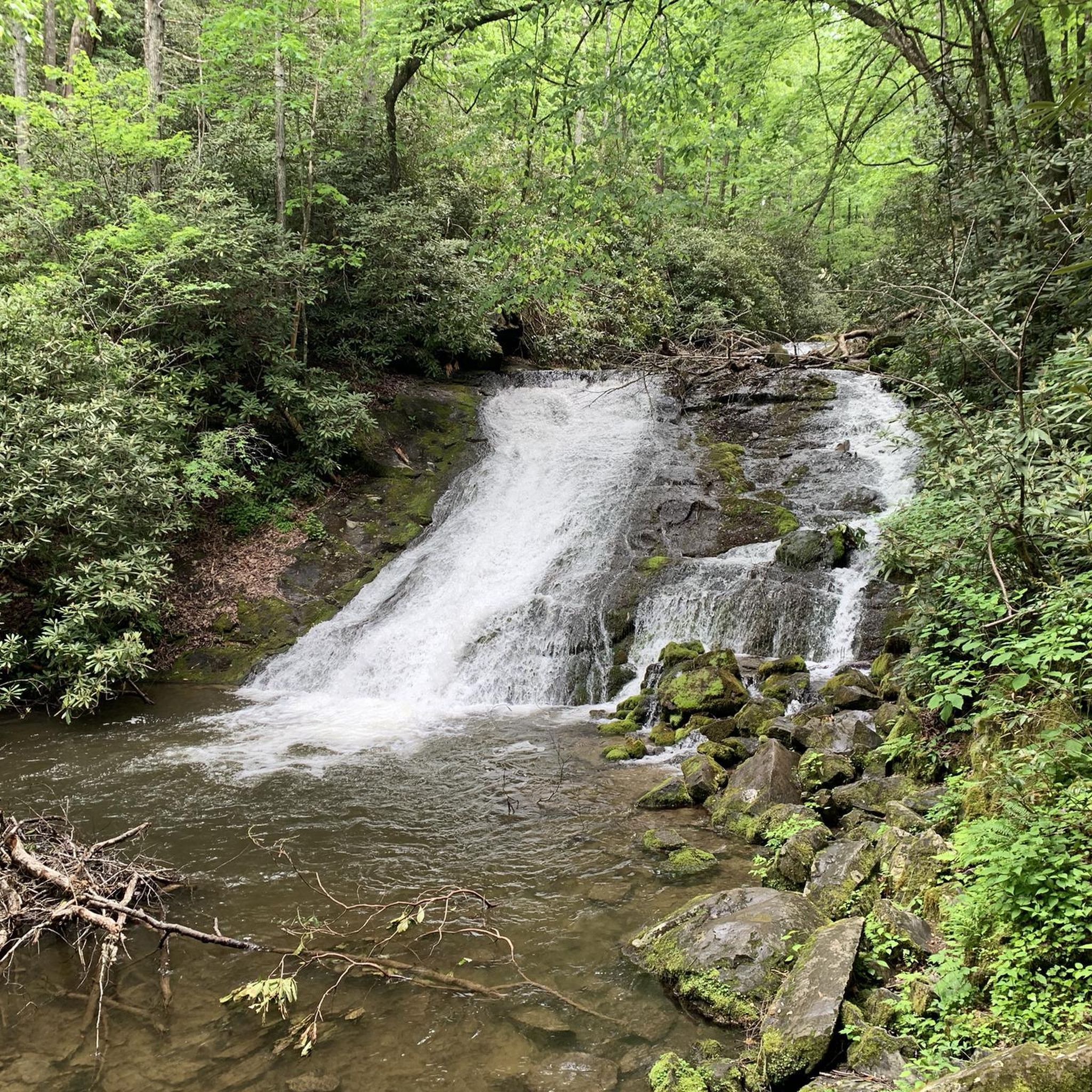
Tips from the Community


The stepping stones are currently fenced off. Please use the nearby bridges to cross the Shimna River.
2
0
Wikipedia (Tollymore Forest Park, 2026-08-14): https://en.m.wikipedia.org/wiki/Tollymore_Forest_Park “... Parnell Bridge, named in recognition of Sir John Parnell who visited Tollymore in the late 18th century, was constructed in 1842. It was the last stone bridge to be built in Tollymore. …”
2
0

The Crack Bridge, also known as Fearon’s Bridge, is one of the most characteristic stone arch bridges over the Newry Canal. This historic structure is located on a beautiful, secluded section of the towpath between Poyntzpass and Jerrettspass. This robust, semi-circular arch bridge from the 18th century is built from locally quarried stone and forms an iconic image along the Newry Canal Towpath. The bridge was originally built to give local farmers and their livestock access to the farmlands on both sides of the canal without hindering navigation.
7
0
Between the rustling trees along the Newry Canal Towpath, you'll encounter the tranquil ruin of a lock keeper's cottage. Once, this was the proud and bustling heart of the waterway, where the lock keeper stood ready day and night to operate the heavy wooden canal gates for passing barges. Today, only the robust stone walls remain, slowly being reclaimed by nature.
6
0
Along the route of the historic Newry Canal, you'll find the Acton Lake Visitor Centre, beautifully situated on the banks of the tranquil Lough Shark. This lake, a remnant from the ice age, provides an idyllic setting for a short stop during your bike tour. The visitor centre not only offers a glimpse into the local flora and fauna – with numerous waterfowl and rare dragonflies – but also tells the story of the region's inland navigation history.
7
0
This largely flat and completely traffic-free path winds through the heart of counties Armagh and Down, along the tranquil waterway that once formed the lifeline for transporting coal to the Irish Sea. As you pedal over the well-maintained asphalt or fine gravel, you'll be surrounded by lush green embankments, historic stone bridges, and the monumental remains of eighteen locks that bridge the elevation difference in the landscape. A mix of smooth asphalt and easily rideable fine gravel, suitable for almost all types of bicycles.
7
0
Frequently Asked Questions
What kind of terrain can I expect when touring cycling around Ballyroney?
The Ballyroney area, nestled in the Banbridge region, offers a diverse cycling landscape. You'll primarily find rolling countryside and quiet country roads, ideal for serene rides. The topography has been shaped by glacial activity, resulting in interesting hills and valleys. For those seeking more challenging terrain, the majestic Mourne Mountains are nearby, providing a dramatic backdrop and opportunities for ascents.
How many touring cycling routes are available around Ballyroney?
There are over 10 touring cycling routes available around Ballyroney, catering to various skill levels. These routes are highly rated by the komoot community, with an average score of 4.5 stars.
Are there family-friendly touring cycling routes near Ballyroney?
Yes, Ballyroney offers several easy routes suitable for families. For instance, the View of Castlewellan Castle – Abandoned Ice House loop from Leitrim is an easy 4.5-mile (7.2 km) trail that takes about 42 minutes to complete, offering views of Castlewellan Castle. Another great option is the View of Mourne AONB – Castlewellan Lake loop from Dollys Brae Car Park, which is also easy and provides scenic views of the Mourne Area of Outstanding Natural Beauty and Castlewellan Lake.
What are some notable landmarks or viewpoints I can discover along the cycling routes?
While cycling around Ballyroney, you can encounter several interesting points. The View of Castlewellan Castle – Castlewellan Peace Maze loop from Leitrim route offers views of Castlewellan Castle. For panoramic vistas, you might find highlights like Slievenaman Climb and Spaltha, which are designated viewpoints in the wider area.
Are there any circular touring cycling routes in the Ballyroney area?
Yes, many of the touring cycling routes around Ballyroney are designed as loops, allowing you to start and finish at the same point. Examples include the Earphones on Wooden Desk – The Old Oak Tree loop from Rathfriland, a moderate 32.7-mile (52.6 km) trail through rolling countryside, and the easy loops around Castlewellan.
What do other touring cyclists enjoy most about cycling in Ballyroney?
The area is highly rated by the komoot community, with an average score of 4.5 stars. Reviewers often praise the rolling countryside, the quiet country roads that allow for peaceful rides, and the proximity to the dramatic landscapes of the Mourne Mountains. The variety of routes, from easy loops to more challenging moderate options, is also frequently appreciated.
Are there any off-road or greenway cycling options near Ballyroney?
While Ballyroney itself is known for its quiet country roads, the wider Banbridge district and Mourne Gullion Strangford area offer access to greenways and forest trails. A notable option is the Newry Canal Towpath – Newry Canal Path loop from Believey Crossroads, which provides a tranquil, flat, and level path along an old canal, suitable for all abilities and away from traffic.
What is the best time of year to go touring cycling in Ballyroney?
The best time for touring cycling in Ballyroney is generally during the spring, summer, and early autumn months (April to October). During these periods, the weather is typically milder and drier, and the lush green landscapes are at their most vibrant. Always check local weather forecasts before heading out.
Where can I find parking facilities for cycling routes around Ballyroney?
Many routes around Ballyroney start from locations with accessible parking. For example, the View of Mourne AONB – Castlewellan Lake loop conveniently starts from Dollys Brae Car Park. For other routes, parking is often available in nearby villages or designated trailheads, allowing easy access to the quiet country roads.
Are there options for more challenging touring cycling routes near Ballyroney?
Yes, while there are easy routes, the proximity to the Mourne Mountains means more challenging options are available. Routes like the Earphones on Wooden Desk – The Old Oak Tree loop from Rathfriland offer moderate difficulty with significant elevation changes through rolling countryside. The wider region is known for challenging climbs and diverse terrain for experienced cyclists.
Can I find cafes or pubs along the cycling routes in Ballyroney?
While Ballyroney is a smaller area, the surrounding villages and towns within the Banbridge district offer various amenities. Many cycling routes will pass through or near these communities where you can find cafes for a refreshment stop or pubs to relax after your ride. It's advisable to check specific route details or local listings for options along your chosen path.
Is Ballyroney well-connected by public transport for cyclists?
Ballyroney is a rural area, and public transport options might be limited directly to trailheads. However, the Banbridge district, where Ballyroney is located, has connections to larger towns. For detailed information on public transport to the area, especially if you plan to bring your bike, it's best to consult local transport providers or plan your journey by car to access the starting points of the routes.
Most popular attractions around Ballyroney

Get inspired with the komoot mobile app


Explore more
Browse the best Cycling routes in other regions.
