The best road cycling routes around Annahunshigo
4.8
(11)
619
riders
64
rides
Road cycling routes around Annahunshigo are located within County Down, Northern Ireland, a region characterized by diverse landscapes. The area provides well-paved surfaces for cycling, with options ranging from scenic, undulating routes through rural townlands to more challenging paths. Cyclists can expect to encounter hilly drumlin country and views of the Mourne Mountains.
Best road cycling routes around Annahunshigo
- The most popular road cycling route is The Yard Café loop from Moneyslane, a 23.7 miles (38.1 km) trail that…
Last updated: October 1, 2026
32
riders
35.0km
01:35
390m
390m
Moderate road ride. Good fitness required. Mostly well-paved surfaces and easy to ride.
27
riders
38.1km
01:41
330m
330m
Moderate road ride. Good fitness required. Mostly well-paved surfaces and easy to ride.

20
riders
54.4km
02:27
520m
520m
Moderate road ride. Good fitness required. Mostly well-paved surfaces and easy to ride.
17
riders
28.8km
01:16
290m
290m
Easy road ride. Great for any fitness level. Mostly well-paved surfaces and easy to ride.
5.0
(1)
17
riders
37.7km
01:50
550m
550m
Moderate road ride. Good fitness required. Mostly well-paved surfaces and easy to ride.
Get access to more routes and recommendations from other explorers.
Already have an account?
Our route recommendations are based on thousands of hikes, rides, and runs completed by other people on komoot.
Start today with a free account
Your next adventure awaits.

Tips from the Community

A great little cafe set in the bike shop, with great coffee and a nice variety of sweet goodies.
0
0

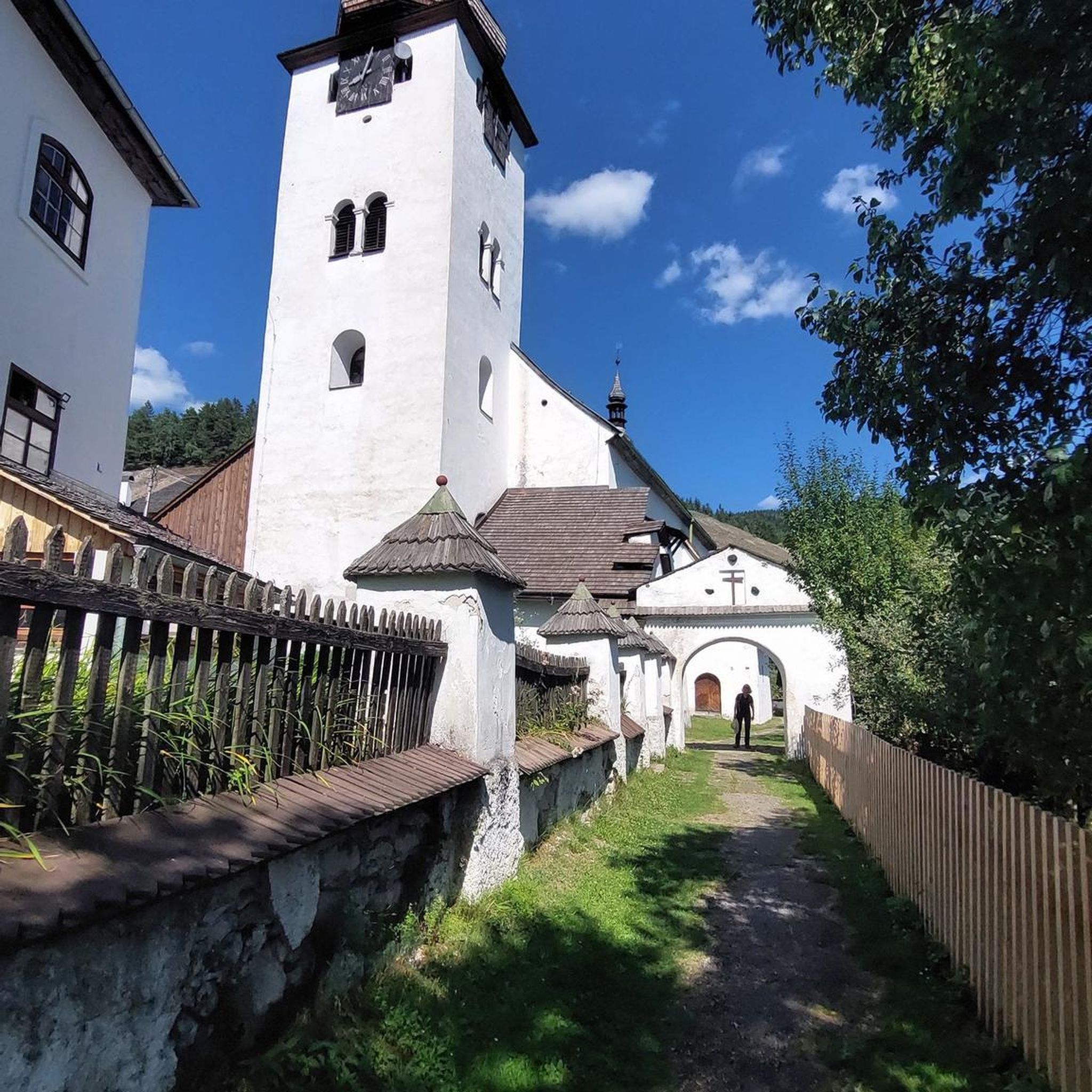
The crannóg is a man made island dating from around the Late Bronze Age period (from approx. 2000 to 500 BC). The Island was inhabited by the Magennis family in the 17th century, who had vacated a castle that is thought to have stood on the lake shore. It was also used as a hiding place for the Irish Rebellion around 1642.
1
0

Good road surface with great views on all sides.
1
0

Nice road - usually quiet and leading to opportunities to branch off on other quiet roads
0
0

Beautiful smooth Tarmac with stunning views off the Mourne Mountains, mostly quiet from traffic to afford you time to have a good look around at the scenery
2
0

Stop here for a quick break and savour the views, weather permitting.
0
0
Frequently Asked Questions
How many road cycling routes are available around Annahunshigo?
There are over 60 road cycling routes around Annahunshigo, offering a variety of distances and difficulty levels. The komoot community has explored 69 routes in total, ranging from easy loops to more challenging ascents.
What kind of terrain can I expect on road cycling routes near Annahunshigo?
Road cycling around Annahunshigo is characterized by hilly drumlin country, rural landscapes, and views towards the Mourne Mountains. You'll find well-paved surfaces, with options from undulating routes through townlands to more challenging paths with significant elevation gain, especially towards the Mournes.
Are there routes suitable for beginners or families?
Yes, there are several easy routes ideal for beginners or families. For example, the Katesbridge Mound loop from Moneyslane is a 13.6-mile trail through gentle terrain. Another option is the Katesbridge Mound loop from Heathcliff and Cathy, which is 9.6 miles long and also considered easy.
Are there challenging routes for experienced road cyclists?
Absolutely. For experienced cyclists seeking a fitness challenge, routes through Drumlin country towards Lisburn offer hilly terrain with steep ascents and descents. The region also features climbs like Slieve Croob, a challenging 5.2 km ascent with a 7% average grade. The Head Road, Mourne AONB – Spelga Reservoir Hill Climb loop from Moneyslane is a moderate route that includes significant elevation gain, offering a taste of the more demanding terrain.
What natural attractions can I see while road cycling near Annahunshigo?
The region boasts stunning natural beauty. You can cycle with views of the majestic Mourne Mountains, or explore areas near Tollymore Forest Park, known for its lush woodlands. The wider County Down area also features the tranquil waters of Strangford Lough and the unique sand dune system of Murlough Nature Reserve.
Are there any historical or cultural landmarks accessible by road bike?
Yes, the area around Annahunshigo is rich in history. While cycling, you might pass by sites such as the picturesque ruins of Inch Abbey, a 12th-century Cistercian Abbey. The broader County Down region also features attractions like Castle Ward, an 18th-century mansion, and the Down County Museum in an old jail.
Are there road cycling routes that pass by waterfalls?
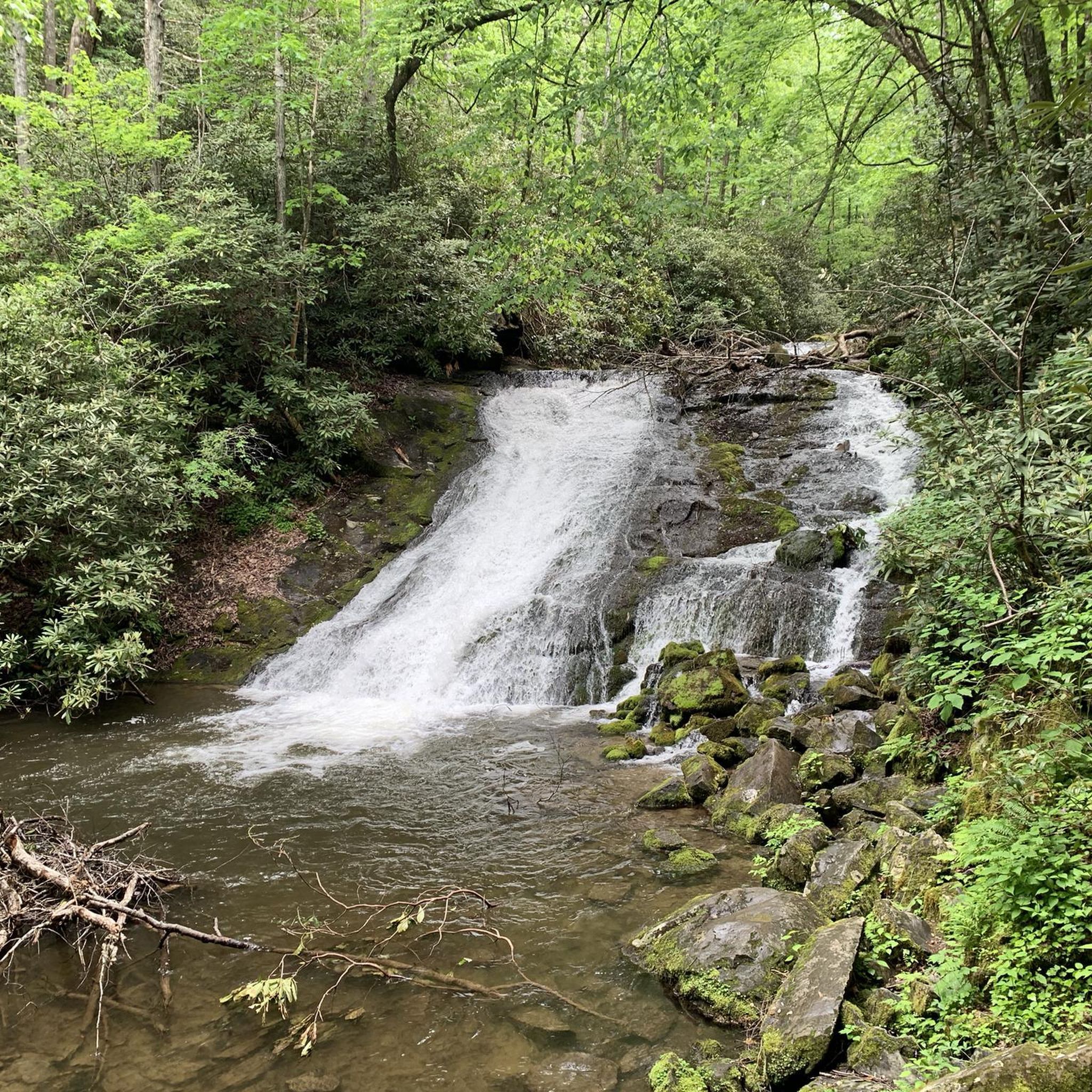
Yes, the region offers natural features including waterfalls. You can find the Shimna River Waterfall within the nearby Tollymore Forest Park, which is accessible from some cycling routes in the area.
Can I find circular road cycling routes around Annahunshigo?
Many of the road cycling routes around Annahunshigo are designed as loops, allowing you to start and finish at the same point. Examples include the popular The Yard Café loop from Moneyslane and the Lackan Road loop from Moneyslane, both offering varied terrain through the local countryside.
What do other road cyclists say about the routes around Annahunshigo?
The road cycling routes around Annahunshigo are highly rated by the komoot community, with an average score of 4.8 stars from over 10 reviews. Cyclists often praise the varied terrain, the scenic views of the Mourne Mountains, and the well-maintained surfaces that make for an enjoyable ride.
Is bike hire available in the Annahunshigo area?
While Annahunshigo itself is a small townland, bike hire facilities are available in larger towns within County Down, such as Newcastle or near the Comber Greenway, which can serve as a starting point for exploring the wider region.
Are there parking facilities available near the road cycling routes?
Many road cycling routes in the Annahunshigo area, particularly those starting from villages like Moneyslane, offer convenient parking options. It's advisable to check specific route details on komoot for designated parking areas or suitable roadside parking near the starting points.
What is the best time of year for road cycling in this region?
The spring and summer months (April to September) generally offer the most favorable conditions for road cycling in County Down, with milder temperatures and longer daylight hours. However, the region's weather can be unpredictable, so it's always wise to check the forecast before heading out.
Most popular routes around Annahunshigo
Most popular attractions around Annahunshigo

Get inspired with the komoot mobile app


Explore more
Browse the best Road cycling routes in other regions.
