The best walks and hikes around Nufenen
4.6
(1781)
11,354
hikers
241
hikes
Hiking around Nufenen offers access to alpine landscapes characterized by high mountain passes, glacial valleys, and the headwaters of the Rhine river. The region features a mix of challenging ascents and more moderate paths through varied terrain. Elevations range significantly, providing diverse hiking experiences across the Swiss Alps.
Best hiking trails around Nufenen
- The most popular hiking route is Hinterrhein to the Zapporthütte in the Rhine source region, a 6.5 miles (10.4 km) trail that takes 3 hours 47 minutes to complete, leading into the high alpine environment near the Rhine's source.
- Another top favourite among local hikers is San Bernardino Village – View of Fontanalba Waterfall loop from San Bernardino, a difficult 6.2 miles (10.0 km) path offering views of the Fontanalba Waterfall and surrounding mountain scenery.
- Local hikers also love the Medels im Rheinwald – Splügen loop from Rheinwald, a 9.7 miles (15.7 km) trail leading through the Rheinwald valley, often completed in about 4 hours 11 minutes.
- Hiking around Nufenen is defined by alpine passes, river valleys, and high mountain trails. The network offers options for different ability levels, from moderate valley walks to difficult mountain ascents.
- The routes in Nufenen are highly rated by the komoot community with an average score of 4.6 stars from over 1,400 reviews. More than 10,000 hikers have used komoot to explore Nufenen's varied terrain.
Last updated: November 4, 2026
36
hikers
10.4km
03:48
660m
20m
Moderate hike. Good fitness required. Mostly walkable paths. Sure-footedness required.
5.0
(4)
22
hikers
15.2km
04:07
210m
210m
Moderate hike. Good fitness required. Easily walkable paths.

4.7
(7)
36
hikers
18.6km
08:53
1,530m
1,530m
Hard hike. Very good fitness required. Sure-footedness, sturdy shoes and alpine experience required.
3.5
(2)
20
hikers
10.8km
03:01
220m
220m
Moderate hike. Good fitness required. Easily walkable paths.
5.0
(1)
13
hikers
8.17km
03:15
440m
440m
Moderate hike. Good fitness required. Mostly walkable paths. Sure-footedness required.
Get access to more routes and recommendations from other explorers.
Already have an account?
Our route recommendations are based on thousands of hikes, rides, and runs completed by other people on komoot.
Start today with a free account
Your next adventure awaits.
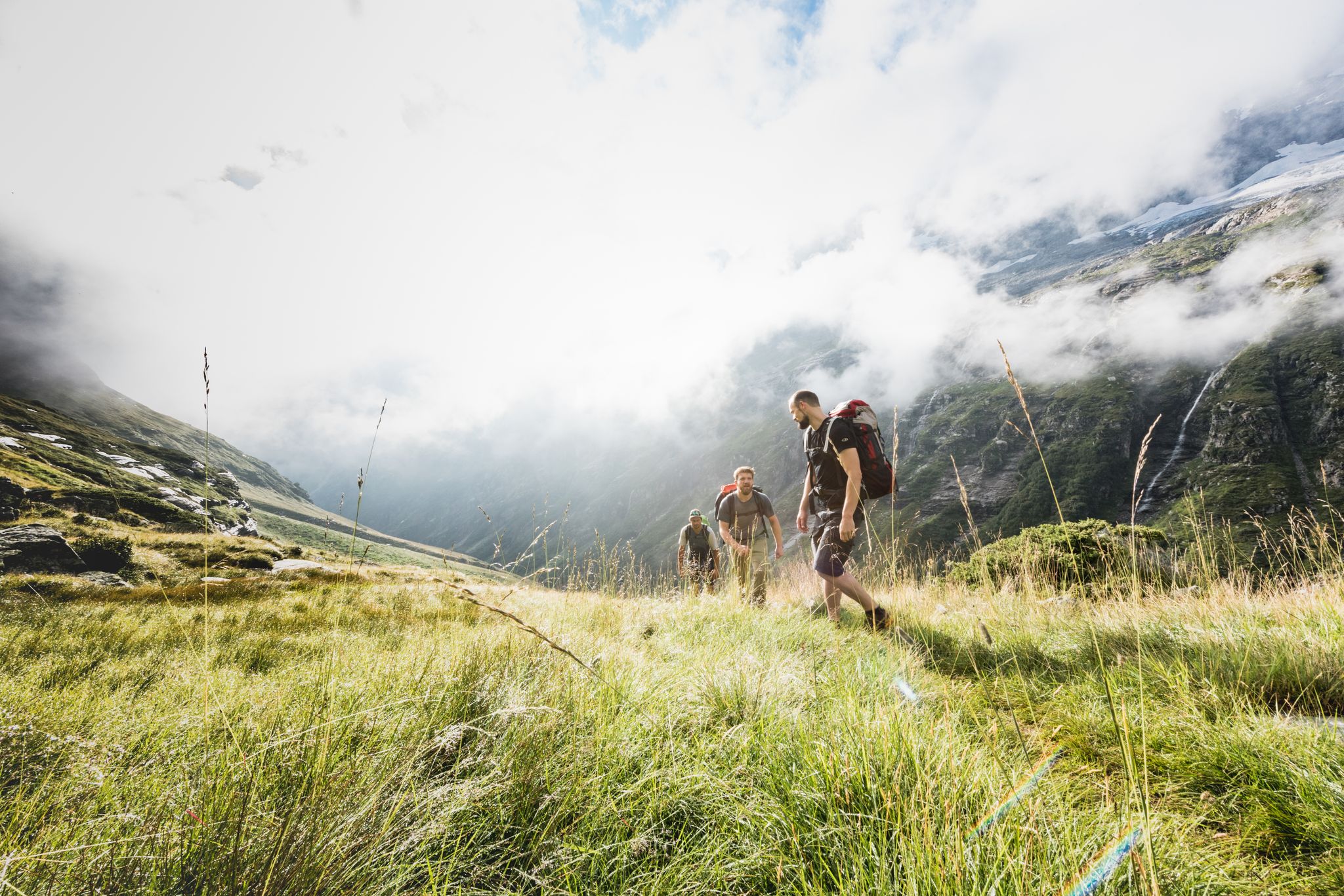
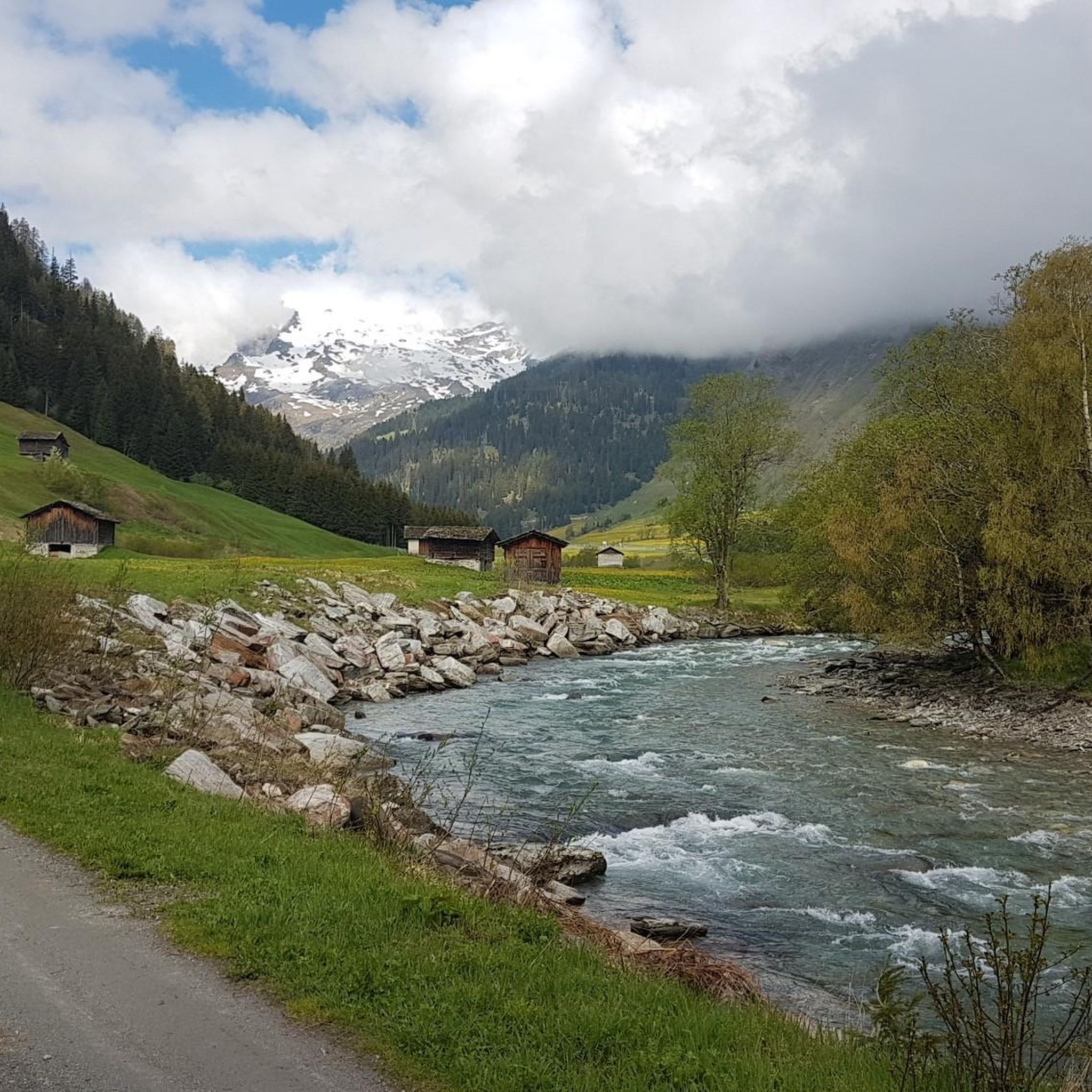
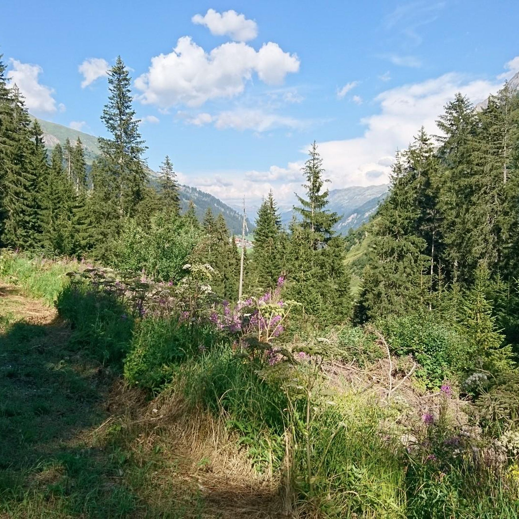
Other adventures around Nufenen

Tips from the Community

From here, the tank training area begins or ends. Shooting notice at https://www.vtg.admin.ch/de/3210-040-de
0
0
Rather small traditional SAC hut. Good hut management, and the kitchen is also worth mentioning. Access from Hinterrhein is somewhat restricted, depending on whether the shooting range is in operation.
0
0

An intact village center and a turbulent history.
0
0

Beautiful walk, 11 km through pines and pastures.
0
0
Since 2025, this section of the Hinterrhein has been undergoing renaturation. The pine forest is history, but the renaturation is not yet complete.
3
0

Directly in the village lies the historic mineral spring of San Bernardino. The crystal-clear water has been emerging here for centuries and can still be tapped fresh today. A short stop is worthwhile – not only for the history, but also for a refreshing break at the beginning or end of your tour.
0
0
The stone-paved pass route connects the San Bernardino Pass at 2065 meters with the village of San Bernardino. The Romans already used this pass crossing.
0
0

S.Bernardo Mineral Water, San Bernardino Quality water since 1926 S.Bernardo represents the perfect union of quality, tradition, and elegance. Its spring originates in the Maritime Alps, at an altitude of 1,300 m, in a healthy and unspoiled environment. Text / Source: S. Bernardo S.p.A., Via O. Rovere, 41 – 12075 Garessio (CN) https://www.sanbernardo.it/azienda-san-bernardo/
14
0
Frequently Asked Questions
How many hiking trails are available around Nufenen?
There are over 200 hiking routes around Nufenen, offering a wide range of experiences from moderate valley walks to challenging alpine ascents. The komoot community has explored these trails over 10,000 times.
Are there easy or family-friendly hiking options in Nufenen?
Yes, Nufenen offers 42 easy hiking routes suitable for families or those seeking a less strenuous walk. These trails often feature gentler gradients and well-maintained paths. While no specific family-friendly route is highlighted here, many of the easy trails are suitable.
What is the best time of year to go hiking in Nufenen?
The best time for hiking in Nufenen is typically from late spring (June) through early autumn (October). During these months, the alpine passes are usually clear of snow, and the weather is generally more stable, offering ideal conditions for exploring the high mountain landscapes and valleys.
Are there any circular hiking routes around Nufenen?
Yes, Nufenen has several excellent circular routes. One popular option is the San Bernardino Village – View of Fontanalba Waterfall loop from San Bernardino, which is a difficult 10 km trail. Another moderate circular route is the Medels im Rheinwald – Splügen loop from Rheinwald, covering 15.7 km through the Rheinwald valley.
Can I find trails with waterfalls in the Nufenen area?
Absolutely. The region is home to several beautiful waterfalls. You can experience the impressive View of Fontanalba Waterfall on the loop trail from San Bernardino Village. Other notable waterfalls include the Waterfall in Safiental and the Waterfall on Guggernüll.
Are dogs allowed on hiking trails in Nufenen?
Most hiking trails in the Nufenen region are dog-friendly, but it's always recommended to keep your dog on a leash, especially in alpine pastures where livestock may be present, or near wildlife protection zones. Always carry water for your dog and be mindful of their paws on rocky terrain.
What kind of facilities or huts can I find along the trails?
You'll find various huts and restaurants in the Nufenen area, providing opportunities for refreshments and overnight stays. Examples include the Gadastatt Panorama Restaurant and the Zervreila Restaurant and Dam. For a more rustic experience, the Cufercal Hut (SAC) offers mountain refuge.
How accessible are the Nufenen hiking trails by public transport?
Public transport access to the Nufenen region is generally good, with PostBus services connecting many villages and trailheads. The Nufenen Pass itself is accessible by bus during the summer months. It's advisable to check the current SBB (Swiss Federal Railways) and PostBus timetables for specific routes and connections to your chosen starting point.
What are the difficulty levels of hikes in Nufenen?
The Nufenen region offers a diverse range of difficulty levels. There are 42 easy routes, 113 moderate routes, and 80 difficult routes. Difficult trails often involve significant elevation gain and rugged terrain, such as the San Bernardino Pass Trail – San Bernardino Village loop from San Bernardino.
What do other hikers say about the trails in Nufenen?
The hiking trails in Nufenen are highly regarded by the komoot community, with an average rating of 4.6 out of 5 stars from over 1,400 reviews. Hikers often praise the stunning alpine scenery, the well-maintained paths, and the variety of routes available for different skill levels.
Are there any hidden gems or less-known trails in Nufenen?
While many trails are popular, the vast network of over 200 routes means there are always quieter paths to discover. Exploring the smaller side valleys or trails leading to less-frequented alpine lakes can often reveal serene and beautiful 'hidden gems' away from the main routes. For example, the area around Ober Surettasee and Seehütte offers tranquil surroundings.
Can I go hiking in Nufenen during winter?
Winter hiking in Nufenen is possible, but it requires careful planning and appropriate gear. Many high-altitude trails and passes, including the Nufenen Pass itself, are closed or become impassable due to snow. However, lower-altitude trails and designated winter hiking paths may be accessible. Always check local conditions, avalanche warnings, and trail status before heading out in winter.
Are there any trails that lead to the source of the Rhine river?
Yes, you can hike towards the source region of the Rhine. A notable route is Hinterrhein to the Zapporthütte in the Rhine source region. This moderate 10.4 km trail takes you into the high alpine environment where the Rhine originates, offering a unique experience.
Most popular attractions around Nufenen

Get inspired with the komoot mobile app


Explore more
Browse the best Hikes in other regions.
